

How to get from Estación Changolla (Cochabamba) to Huatajata (La Paz)
Calculate route from Estación Changolla (Cochabamba, Bolivia) to Huatajata (La Paz, Bolivia).
The flight distance (as the crow flies) between Estación Changolla and Huatajata is 296.2 km.
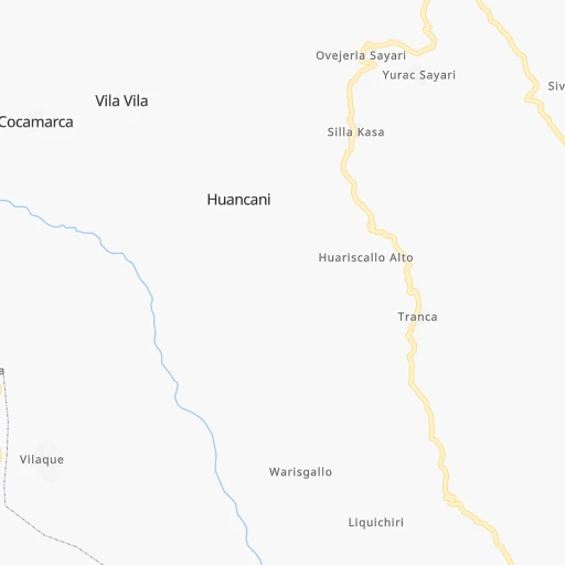
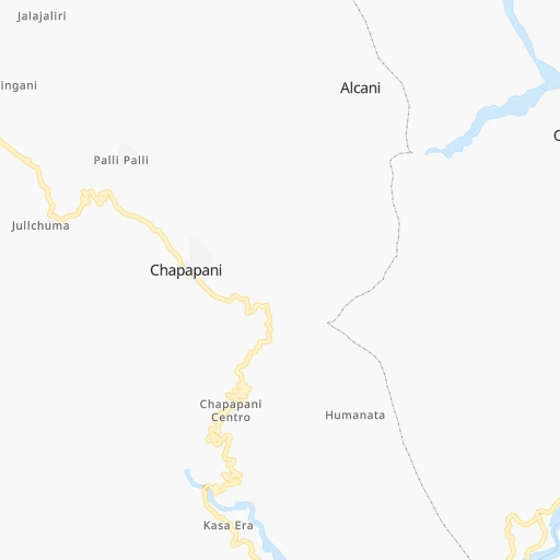
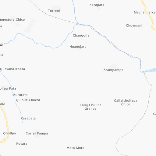
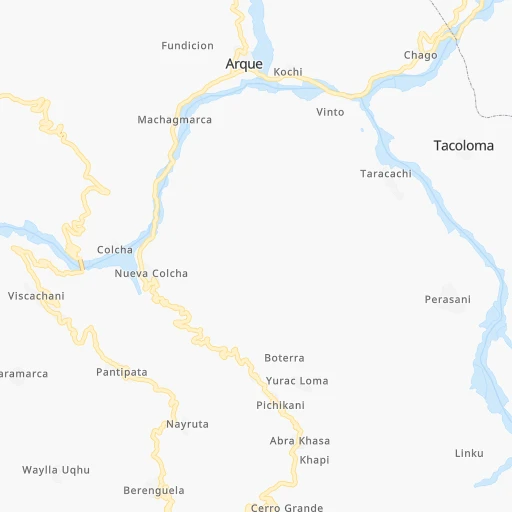
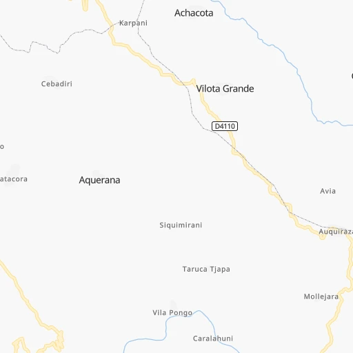
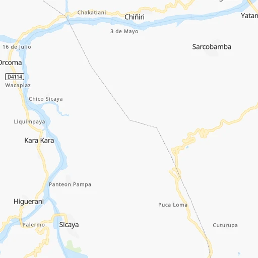
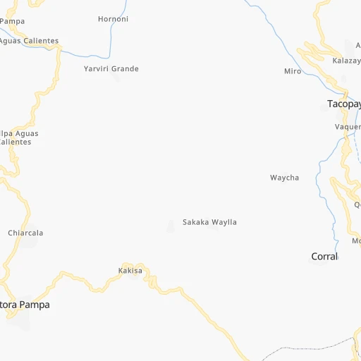
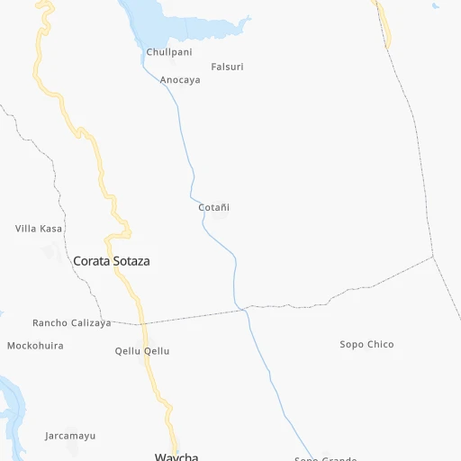
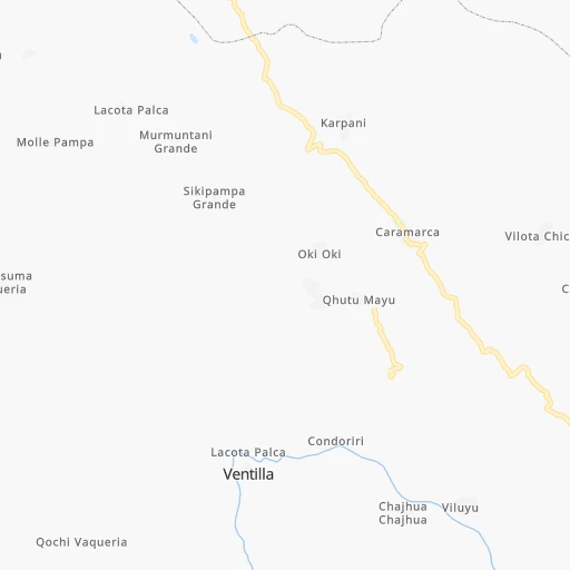
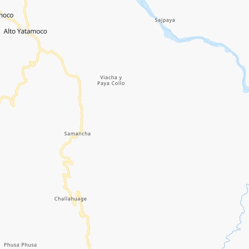
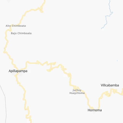
Roadmap (route) to go from Estación Changolla to Huatajata detailed above, you can also see the course layout on the map.
While doing trip Estación Changolla - Huatajata by car, the calculated route ends at a distance , or more straight.
Distance and duration of the route between Estación Changolla and Huatajata
Calculation of distance and route from Huatajata to Estación Changolla :
296.2373.5 km6h12mn
Continue onto Camino a Liquichiri-Korapata 0h13mn 2.1 kmKeep right onto Camino a Liquichiri-Korapata 0h1mn 120 mTurn sharp left 0h0mn 93 mTurn slight left onto Camino Viluyo Arque-Colcha 0h14mn 6.8 kmKeep left onto Camino a Huancani 0h4mn 2.0 kmTurn right 0h0mn 57 mKeep left 0h11mn 1.9 kmTurn slight left 0h9mn 4.4 kmTurn sharp left 0h0mn 177 mTurn slight left 0h0mn 124 mKeep left 0h0mn 187 mKeep left 0h0mn 35 mTurn slight left 0h1mn 399 mTurn left onto RN4: Parotani-Confital 1h43mn 45.0 kmKeep right onto RN4: Doble Vía Caracollo-Confital 0h15mn 16.8 kmKeep right toward F4 0h0mn 62 mAt roundabout, take exit 1 0h2mn 1.6 kmKeep right toward F4 0h0mn 78 mAt roundabout, take exit 1 0h1mn 966 mKeep right toward F4 0h0mn 102 mAt roundabout, take exit 2 0h2mn 1.6 kmKeep right toward F4 0h0mn 81 mAt roundabout, take exit 2 0h6mn 5.5 kmKeep right toward F4 0h0mn 54 mAt roundabout, take exit 1 0h6mn 6.0 kmKeep right toward F4 0h0mn 24 mAt roundabout, take exit 1 0h21mn 24.0 kmKeep right and drive toward Caracollo 2h22mn 171.4 kmAt roundabout, take exit 3 onto Rotonda Versalles 0h1mn 674 mTurn sharp left 0h0mn 47 mTurn right onto Avenida 6 de Marzo 0h3mn 2.9 kmAt roundabout, take exit 3 onto Avenida Litoral 0h0mn 184 mTurn right onto Avenida Oleoducto 0h1mn 456 mTurn right onto Avenida Nestor Galindo 0h0mn 33 mTurn left onto Avenida Oleoducto 0h1mn 800 mAt roundabout, take exit 2 onto Avenida Oleoducto 0h1mn 752 mKeep left onto Avenida Bolivia 0h0mn 362 mAt roundabout, take exit 2 onto Avenida Bolivia 0h1mn 1.5 kmAt roundabout, take exit 2 onto Avenida Bolivia 0h2mn 2.0 kmTurn right 0h0mn 115 mTurn left onto Calle Copacabana 0h0mn 110 mTurn right 0h0mn 125 mTurn left 0h0mn 456 mAt roundabout, take exit 3 onto Avenida 25 de Julio 0h2mn 2.4 kmTurn right onto Avenida Bautista Oquendo 0h1mn 567 mTurn left 0h1mn 615 mTurn sharp right 0h0mn 8 mTurn sharp left 0h0mn 227 mTurn left onto Avenida Panamericana 1h47mn 55.4 kmAt roundabout, take exit 2 onto RN2: Tiquina-Huarina 0h9mn 10.8 kmTurn sharp right 0h5mn 896 mTurn slight right 0h1mn 249 mTurn right 0h2mn 404 mArrive at destination 0h0mn 0 m
Travel from Estación Changolla (La Paz) to a selection of major cities.
Distances from Estación Changolla to biggest cities in Cochabamba
Other major cities in country :
Route from Huatajata to major cities (Bolivia).
- Distance Huatajata Santa Cruz de la Sierra612 km
- Distance Huatajata Cochabamba300 km
- Distance Huatajata Sucre481 km
- Distance Huatajata Oruro257 km
- Distance Huatajata Tarija725 km
- Distance Huatajata Potosi488 km
- Distance Huatajata Sacaba312 km
- Distance Huatajata Montero593 km
- Distance Huatajata Quillacollo289 km
- Distance Huatajata Trinidad433 km
- Distance Huatajata Yacuiba834 km
- Distance Huatajata Riberalta644 km
- Distance Huatajata Tiquipaya292 km
Nearest cities to Estación Changolla :
- Cochabamba, 900,414 inhabitants. 58 km
- La Paz, 812,799 inhabitants. 231 km
- Sucre, 224,838 inhabitants. 186 km
- Oruro, 208,684 inhabitants. 75 km
- Potosi, 141,251 inhabitants. 211 km
- Sacaba, 107,628 inhabitants. 65 km
- Quillacollo, 87,309 inhabitants. 51 km
- Trinidad, 84,259 inhabitants. 372 km
- Tiquipaya, 53,904 inhabitants. 60 km
- Mizque, 30,481 inhabitants. 120 km
- Llallagua, 28,069 inhabitants. 69 km
- Camiri, 27,961 inhabitants. 397 km
- San Borja, 24,610 inhabitants. 331 km
- San Borja, 19,640 inhabitants. 336 km
- Villa Yapacani, 18,187 inhabitants. 283 km
- Huanuni, 15,492 inhabitants. 66 km
- Punata, 15,194 inhabitants. 74 km
- Patacamaya, 12,260 inhabitants. 167 km
- Colchani, 11,988 inhabitants. 281 km
- Uyuni, 10,293 inhabitants. 297 km
- Cliza, 8,654 inhabitants. 62 km
- Achacachi, 8,447 inhabitants. 307 km
- Vallegrande, 8,422 inhabitants. 261 km
- Monteagudo, 8,289 inhabitants. 345 km
- Aiquile, 8,224 inhabitants. 143 km
- Tarata, 8,043 inhabitants. 53 km
- Challapata, 8,016 inhabitants. 125 km
- Santa Rosa del Sara, 5,251 inhabitants. 315 km
- Capinota, 5,157 inhabitants. 25 km
- Chimore, 5,147 inhabitants. 167 km
- San Pedro, 5,002 inhabitants. 309 km
- Betanzos, 4,847 inhabitants. 221 km
- Camargo, 4,715 inhabitants. 341 km
- Comarapa, 4,445 inhabitants. 205 km
- Mairana, 4,298 inhabitants. 268 km
- Buena Vista, 4,282 inhabitants. 299 km
- San Carlos, 4,180 inhabitants. 292 km
- Colquiri, 3,933 inhabitants. 85 km
- Colomi, 3,921 inhabitants. 82 km
- Arani, 3,906 inhabitants. 79 km
- Sipe Sipe, 3,776 inhabitants. 42 km
- San Juan del Surutu, 3,707 inhabitants. 296 km
- Huatajata, 3,700 inhabitants. 297 km
- Samaipata, 3,500 inhabitants. 277 km
- San Pablo, 3,245 inhabitants. 309 km
- Lahuachaca, 3,235 inhabitants. 138 km
- Tiahuanaco, 3,037 inhabitants. 274 km
Location Estación Changolla (Cochabamba) :
| Country flag |  |
| Location | Estación Changolla |
| State | Cochabamba |
| County | |
| Country | Bolivia |
| Country code / ISO 2 | BO |
| Latitude | -17.8166700 |
| Longitude | -66.4666700 |
| Altitude | 0 meters |
| Time zone | America/La_Paz |
Location Huatajata (La Paz) :
| Country flag | |
| Location | Huatajata |
| State | La Paz |
| County | |
| Country | Bolivia |
| Country code / ISO 2 | BO |
| Latitude | -16.2000000 |
| Longitude | -68.6833300 |
| Altitude | 0 meters |
| Time zone | America/La_Paz |
