


How to get from Estación El Pailón (Santa Cruz) to Charagua (Santa Cruz)
Calculate route from Estación El Pailón (Santa Cruz, Bolivia) to Charagua (Santa Cruz, Bolivia).
The flight distance (as the crow flies) between Estación El Pailón and Charagua is 243.3 km.
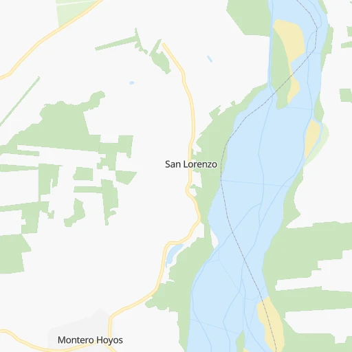
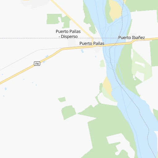
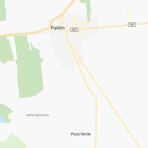
Roadmap (route) to go from Estación El Pailón to Charagua detailed above, you can also see the course layout on the map.
While doing trip Estación El Pailón - Charagua by car, the calculated route ends at a distance , or more straight.
Distance and duration of the route between Estación El Pailón and Charagua
Calculation of distance and route from Charagua to Estación El Pailón :
243.3295.0 km5h29mn
Continue onto RN4: Pailon-Paraiso 0h0mn 54 mKeep left 0h0mn 206 mTurn left 0h0mn 155 mTurn right 0h2mn 789 mContinue onto Camino Pailon-Abapo 0h24mn 25.9 kmContinue onto Camino Pailon-Abapo 3h35mn 157.1 kmTurn sharp left onto RN36: Abapó-Boyuibe 2h25mn 108.4 kmKeep right onto RN36: Abapó-Boyuibe 0h0mn 219 mKeep right onto Camino Charagua-Estacion Charagua 0h2mn 1.6 kmTurn left onto Avenida Ejercito 0h0mn 84 mTurn right onto Calle Bolivar 0h0mn 208 mTurn left onto Calle Coronel Mercado 0h0mn 164 mTurn right onto Calle 24 de Septiembre 0h0mn 65 mArrive at destination 0h0mn 0 m
Travel from Estación El Pailón (Santa Cruz) to a selection of major cities.
Distances from Estación El Pailón to biggest cities in Santa Cruz
Other major cities in country :
Route from Charagua to major cities (Bolivia).
- Distance Charagua Cochabamba411 km
- Distance Charagua La Paz639 km
- Distance Charagua Sucre233 km
- Distance Charagua Oruro462 km
- Distance Charagua Tarija251 km
- Distance Charagua Potosi269 km
- Distance Charagua Sacaba401 km
- Distance Charagua Quillacollo421 km
- Distance Charagua Trinidad581 km
- Distance Charagua Yacuiba253 km
- Distance Charagua Riberalta1,025 km
- Distance Charagua Tiquipaya419 km
Nearest cities to Estación El Pailón :
- Santa Cruz de la Sierra, 1,364,389 inhabitants. 52 km
- Sucre, 224,838 inhabitants. 310 km
- Montero, 88,616 inhabitants. 66 km
- Trinidad, 84,259 inhabitants. 391 km
- Mizque, 30,481 inhabitants. 280 km
- Camiri, 27,961 inhabitants. 279 km
- San Ignacio de Velasco, 23,569 inhabitants. 236 km
- Warnes, 22,036 inhabitants. 50 km
- Ascencion de Guarayos, 18,816 inhabitants. 202 km
- Cotoca, 18,347 inhabitants. 40 km
- Villa Yapacani, 18,187 inhabitants. 122 km
- Santiago del Torno, 15,543 inhabitants. 80 km
- Ascension, 14,429 inhabitants. 221 km
- Mineros, 14,385 inhabitants. 81 km
- Portachuelo, 11,485 inhabitants. 79 km
- Robore, 9,882 inhabitants. 322 km
- Pailon, 9,304 inhabitants. 4 km
- Vallegrande, 8,422 inhabitants. 174 km
- Monteagudo, 8,289 inhabitants. 273 km
- Aiquile, 8,224 inhabitants. 268 km
- San Julian, 7,706 inhabitants. 22 km
- Concepcion, 6,900 inhabitants. 236 km
- La Belgica, 5,501 inhabitants. 54 km
- Santa Rosa del Sara, 5,251 inhabitants. 111 km
- Chimore, 5,147 inhabitants. 269 km
- Okinawa Numero Uno, 4,944 inhabitants. 48 km
- Betanzos, 4,847 inhabitants. 358 km
- Camargo, 4,715 inhabitants. 424 km
- Comarapa, 4,445 inhabitants. 195 km
- Mairana, 4,298 inhabitants. 142 km
- Buena Vista, 4,282 inhabitants. 104 km
- San Carlos, 4,180 inhabitants. 113 km
- Jorochito, 4,013 inhabitants. 88 km
- San Juan del Surutu, 3,707 inhabitants. 106 km
- Limoncito, 3,622 inhabitants. 84 km
- Samaipata, 3,500 inhabitants. 136 km
- Urubicha, 3,267 inhabitants. 252 km
- Boyuibe, 3,075 inhabitants. 315 km
- Los Negros, 3,046 inhabitants. 77 km
- Charagua, 3,025 inhabitants. 244 km
Location Estación El Pailón (Santa Cruz) :
| Country flag |  |
| Location | Estación El Pailón |
| State | Santa Cruz |
| County | |
| Country | Bolivia |
| Country code / ISO 2 | BO |
| Latitude | -17.6500000 |
| Longitude | -62.7166700 |
| Altitude | 0 meters |
| Time zone | America/La_Paz |
Location Charagua (Santa Cruz) :
| Country flag | |
| Location | Charagua |
| State | Santa Cruz |
| County | |
| Country | Bolivia |
| Country code / ISO 2 | BO |
| Latitude | -19.7915100 |
| Longitude | -63.1986400 |
| Altitude | 0 meters |
| Time zone | America/La_Paz |