
How to get from Estación Higuerani (Cochabamba) to Vallegrande (Santa Cruz)
Calculate route from Estación Higuerani (Cochabamba, Bolivia) to Vallegrande (Santa Cruz, Bolivia).
The flight distance (as the crow flies) between Estación Higuerani and Vallegrande is 249.6 km.
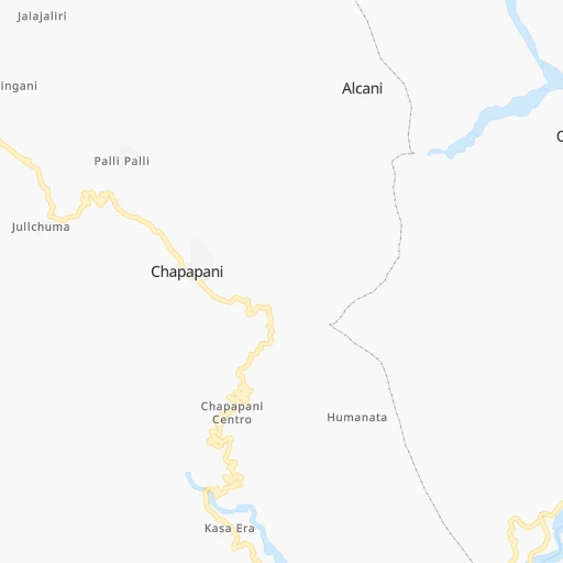
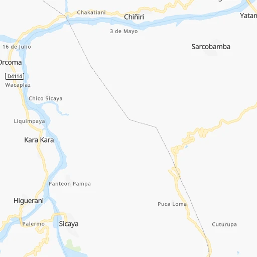
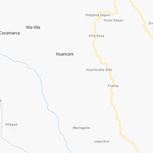
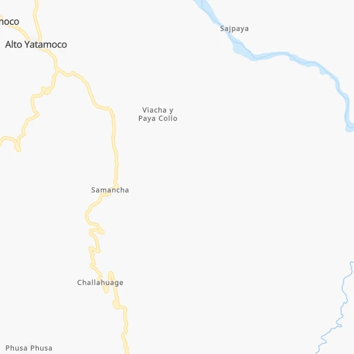
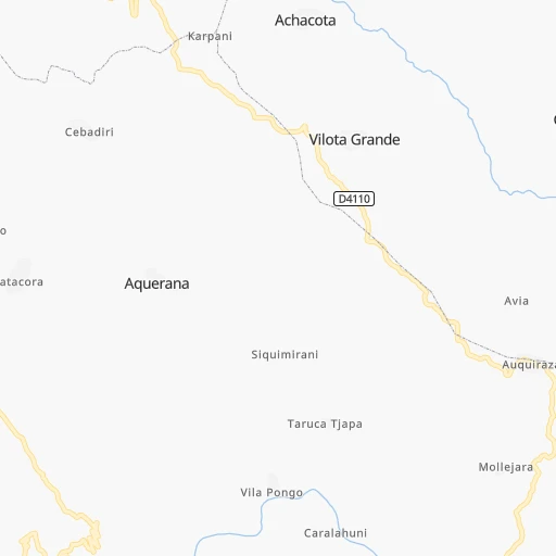
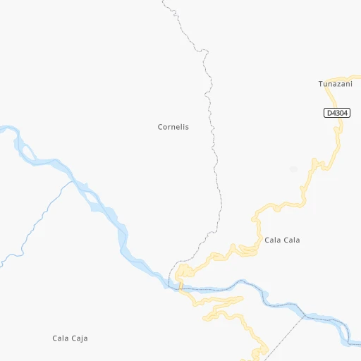
Roadmap (route) to go from Estación Higuerani to Vallegrande detailed above, you can also see the course layout on the map.
While doing trip Estación Higuerani - Vallegrande by car, the calculated route ends at a distance , or more straight.
Distance and duration of the route between Estación Higuerani and Vallegrande
Calculation of distance and route from Vallegrande to Estación Higuerani :
249.6412.1 km6h28mn
Continue 0h6mn 996 mTurn sharp left onto Camino Orcoma-Arque 0h11mn 9.1 kmTurn slight right 0h2mn 1.1 kmTurn right 0h7mn 3.5 kmTurn sharp right 0h3mn 1.4 kmTurn slight right onto Camino Capinota-Irpa Irpa 0h1mn 291 mContinue onto Carretera Parotani-Irpa Irpa 0h4mn 3.6 kmKeep left 0h0mn 16 mAt roundabout, take exit 1 onto Parotani - Capinota 0h0mn 135 mContinue onto Parotani (RN4)-Capinota 0h3mn 3.8 kmTurn right 0h0mn 159 mTurn right onto Panamericana 0h10mn 7.8 kmTurn right onto Panamericana 0h18mn 16.2 kmKeep right onto Camino Santivañez-Laguna Angostura and drive toward Laguna La Angostura 0h11mn 10.6 kmTurn slight left onto Camino a Tarata-Cliza-Punata 0h4mn 5.1 kmAt roundabout, take exit 1 onto Rotonda La Angostura - Cruce Tarata 0h7mn 7.9 kmKeep right and drive toward laphia, sacaba 0h0mn 27 mAt roundabout, take exit 1 onto Rotonda Khuchu Carcaje 0h16mn 18.2 kmAt roundabout, take exit 2 onto Doble Vía Avenida Petrolera-Angostura-Paracaya 0h2mn 2.6 kmTurn slight right onto RN7: Paracaya-Epizana 2h58mn 141.9 kmTurn sharp left 0h3mn 789 mContinue onto RN7: Epizana-Comarapa 1h32mn 38.3 kmTurn right 0h2mn 1.1 kmTurn sharp left 0h5mn 2.4 kmTurn left 0h4mn 2.0 kmKeep left 0h0mn 181 mKeep left 0h6mn 2.9 kmTurn right onto RN7: Epizana-Comarapa 1h40mn 46.8 kmKeep left onto RN7: Empalme con RN5 0h0mn 50 mContinue onto RN7: La Palizada-Mataral 0h1mn 888 mAt roundabout, take exit 2 onto RN7: La Palizada-Mataral 0h0mn 137 mTurn slight right onto RN7: La Palizada-Mataral 0h26mn 30.4 kmKeep right onto Cruce a RN22 and take F22 toward Vallegrande, Cochabambita, Guadalupe 0h0mn 55 mTurn slight right onto RN22: Mataral-Valle Grande 1h44mn 50.5 kmAt roundabout, take exit 2 onto RN22: Mataral-Vallegrande 0h0mn 516 mAt roundabout, take exit 2 onto Calle 2 de Noviembre 0h0mn 246 mTurn right onto Avenida Primero de Mayo 0h0mn 89 mKeep left onto Calle Ignacio Terán 0h1mn 323 mTurn right onto Calle Manuel Maria Caballero 0h0mn 70 mTurn left onto Calle Leonor Suarez 0h0mn 211 mArrive at destination 0h0mn 0 m
Travel from Estación Higuerani (Santa Cruz) to a selection of major cities.
Distances from Estación Higuerani to biggest cities in Cochabamba
Other major cities in country :
Route from Vallegrande to major cities (Bolivia).
- Distance Vallegrande Cochabamba249 km
- Distance Vallegrande La Paz483 km
- Distance Vallegrande Sucre136 km
- Distance Vallegrande Oruro327 km
- Distance Vallegrande Tarija345 km
- Distance Vallegrande Potosi212 km
- Distance Vallegrande Sacaba238 km
- Distance Vallegrande Quillacollo260 km
- Distance Vallegrande Trinidad416 km
- Distance Vallegrande Yacuiba395 km
- Distance Vallegrande Riberalta859 km
- Distance Vallegrande Tiquipaya258 km
Nearest cities to Estación Higuerani :
- Cochabamba, 900,414 inhabitants. 48 km
- La Paz, 812,799 inhabitants. 239 km
- Sucre, 224,838 inhabitants. 180 km
- Oruro, 208,684 inhabitants. 88 km
- Potosi, 141,251 inhabitants. 210 km
- Sacaba, 107,628 inhabitants. 54 km
- Quillacollo, 87,309 inhabitants. 44 km
- Trinidad, 84,259 inhabitants. 363 km
- Tiquipaya, 53,904 inhabitants. 52 km
- Mizque, 30,481 inhabitants. 108 km
- Llallagua, 28,069 inhabitants. 76 km
- Camiri, 27,961 inhabitants. 390 km
- San Borja, 24,610 inhabitants. 329 km
- San Borja, 19,640 inhabitants. 335 km
- Villa Yapacani, 18,187 inhabitants. 270 km
- Santiago del Torno, 15,543 inhabitants. 315 km
- Huanuni, 15,492 inhabitants. 76 km
- Punata, 15,194 inhabitants. 61 km
- Patacamaya, 12,260 inhabitants. 178 km
- Colchani, 11,988 inhabitants. 287 km
- Portachuelo, 11,485 inhabitants. 317 km
- Uyuni, 10,293 inhabitants. 302 km
- Cliza, 8,654 inhabitants. 49 km
- Achacachi, 8,447 inhabitants. 315 km
- Vallegrande, 8,422 inhabitants. 250 km
- Monteagudo, 8,289 inhabitants. 338 km
- Aiquile, 8,224 inhabitants. 132 km
- Tarata, 8,043 inhabitants. 40 km
- Challapata, 8,016 inhabitants. 132 km
- Santa Rosa del Sara, 5,251 inhabitants. 302 km
- Capinota, 5,157 inhabitants. 12 km
- Chimore, 5,147 inhabitants. 155 km
- San Pedro, 5,002 inhabitants. 317 km
- Betanzos, 4,847 inhabitants. 218 km
- Camargo, 4,715 inhabitants. 340 km
- Comarapa, 4,445 inhabitants. 193 km
- Mairana, 4,298 inhabitants. 256 km
- Buena Vista, 4,282 inhabitants. 286 km
- San Carlos, 4,180 inhabitants. 279 km
- Jorochito, 4,013 inhabitants. 311 km
- Colquiri, 3,933 inhabitants. 93 km
- Colomi, 3,921 inhabitants. 70 km
- Arani, 3,906 inhabitants. 66 km
- Sipe Sipe, 3,776 inhabitants. 37 km
- San Juan del Surutu, 3,707 inhabitants. 283 km
- Huatajata, 3,700 inhabitants. 305 km
- Limoncito, 3,622 inhabitants. 313 km
- Samaipata, 3,500 inhabitants. 266 km
- San Pablo, 3,245 inhabitants. 317 km
- Lahuachaca, 3,235 inhabitants. 148 km
Location Estación Higuerani (Cochabamba) :
| Country flag |  |
| Location | Estación Higuerani |
| State | Cochabamba |
| County | |
| Country | Bolivia |
| Country code / ISO 2 | BO |
| Latitude | -17.7833300 |
| Longitude | -66.3500000 |
| Altitude | 0 meters |
| Time zone | America/La_Paz |
Location Vallegrande (Santa Cruz) :
| Country flag | |
| Location | Vallegrande |
| State | Santa Cruz |
| County | |
| Country | Bolivia |
| Country code / ISO 2 | BO |
| Latitude | -18.4892300 |
| Longitude | -64.1060900 |
| Altitude | 0 meters |
| Time zone | America/La_Paz |
