


How to get from Estación Medinaceli (Potosí) to Colchani (Potosí)
Calculate route from Estación Medinaceli (Potosí, Bolivia) to Colchani (Potosí, Bolivia).
The flight distance (as the crow flies) between Estación Medinaceli and Colchani is 222.4 km.
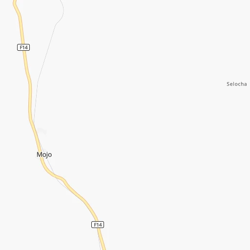
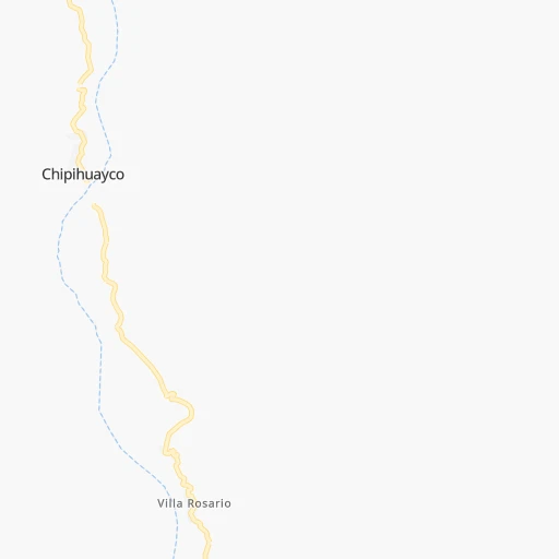
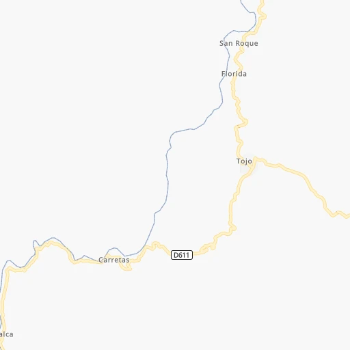
Roadmap (route) to go from Estación Medinaceli to Colchani detailed above, you can also see the course layout on the map.
While doing trip Estación Medinaceli - Colchani by car, the calculated route ends at a distance , or more straight.
Distance and duration of the route between Estación Medinaceli and Colchani
Calculation of distance and route from Colchani to Estación Medinaceli :
222.4273.1 km4h59mn
Continue 0h0mn 46 mTurn sharp left 0h0mn 124 mTurn right 0h0mn 91 mTurn slight right onto RN14: Tupiza-Villazon 1h52mn 56.4 kmAt roundabout, take exit 1 onto Avenida José Luis San Juan García 0h1mn 1.0 kmTurn slight right onto Avenida Circunvalación 0h3mn 3.1 kmTurn left onto RN21: Uyuni-Tupiza 3h41mn 189.0 kmAt roundabout, take exit 2 onto Calle Ayacucho 0h0mn 275 mTurn right onto Calle Avaroa 0h1mn 837 mAt roundabout, take exit 1 onto Avenida Ferroviaria 0h0mn 120 mTurn left onto Calle Bolivar 0h2mn 972 mTurn right onto Calle Boqueron 0h0mn 37 mTurn left 0h0mn 10 mTurn slight right 0h0mn 178 mKeep left 0h0mn 178 mTurn left 0h0mn 78 mTurn right onto Calle Ballivián 0h0mn 56 mTurn right onto Calle Camacho 0h0mn 7 mMake a U-turn onto Calle Camacho 0h0mn 268 mTurn slight right onto RN30: Challapata-Uyuni 0h17mn 20.1 kmTurn left onto Ruta Colchani - Salar de Uyuni and drive toward Colchani 0h0mn 113 mArrive at destination 0h0mn 0 m
Travel from Estación Medinaceli (Potosí) to a selection of major cities.
Distances from Estación Medinaceli to biggest cities in Potosí
Other major cities in country :
Route from Colchani to major cities (Bolivia).
- Distance Colchani Santa Cruz de la Sierra484 km
- Distance Colchani Cochabamba334 km
- Distance Colchani La Paz442 km
- Distance Colchani Sucre225 km
- Distance Colchani Oruro259 km
- Distance Colchani Tarija267 km
- Distance Colchani Sacaba337 km
- Distance Colchani Montero509 km
- Distance Colchani Quillacollo331 km
- Distance Colchani Trinidad646 km
- Distance Colchani Yacuiba388 km
- Distance Colchani Riberalta1,039 km
- Distance Colchani Tiquipaya338 km
Nearest cities to Estación Medinaceli :
- Sucre, 224,838 inhabitants. 313 km
- Tarija, 159,269 inhabitants. 91 km
- Potosi, 141,251 inhabitants. 251 km
- Yacuiba, 82,803 inhabitants. 195 km
- Bermejo, 35,411 inhabitants. 160 km
- Villazon, 30,253 inhabitants. 29 km
- Camiri, 27,961 inhabitants. 291 km
- Tupiza, 22,233 inhabitants. 46 km
- Villamontes, 18,761 inhabitants. 225 km
- Colchani, 11,988 inhabitants. 223 km
- Uyuni, 10,293 inhabitants. 202 km
- Monteagudo, 8,289 inhabitants. 280 km
- Challapata, 8,016 inhabitants. 350 km
- Betanzos, 4,847 inhabitants. 254 km
- Camargo, 4,715 inhabitants. 137 km
- Boyuibe, 3,075 inhabitants. 282 km
- Charagua, 3,025 inhabitants. 334 km
Location Estación Medinaceli (Potosí) :
| Country flag |  |
| Location | Estación Medinaceli |
| State | Potosí |
| County | |
| Country | Bolivia |
| Country code / ISO 2 | BO |
| Latitude | -21.8297100 |
| Longitude | -65.5506700 |
| Altitude | 0 meters |
| Time zone | America/La_Paz |
Location Colchani (Potosí) :
| Country flag | |
| Location | Colchani |
| State | Potosí |
| County | |
| Country | Bolivia |
| Country code / ISO 2 | BO |
| Latitude | -20.3000000 |
| Longitude | -66.9333300 |
| Altitude | 0 meters |
| Time zone | America/La_Paz |


