
How to get from Estación Parotani (Cochabamba) to Patacamaya (La Paz)
Calculate route from Estación Parotani (Cochabamba, Bolivia) to Patacamaya (La Paz, Bolivia).
The flight distance (as the crow flies) between Estación Parotani and Patacamaya is 170.7 km.
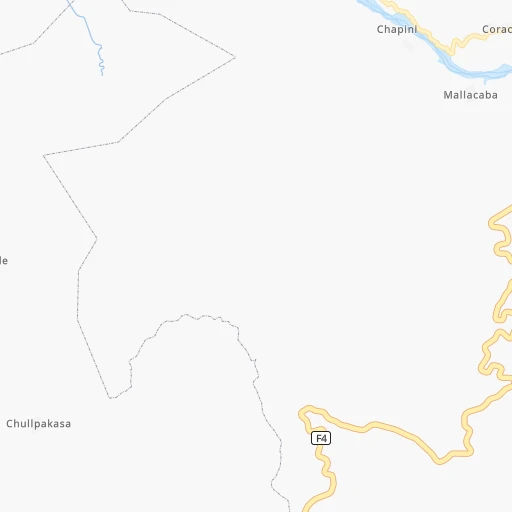
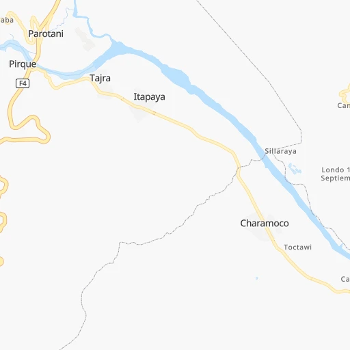
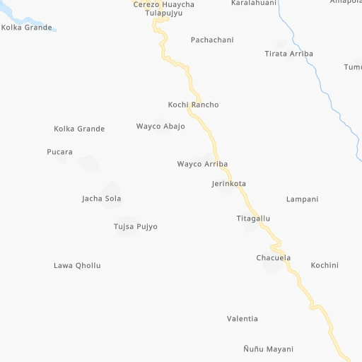
Roadmap (route) to go from Estación Parotani to Patacamaya detailed above, you can also see the course layout on the map.
While doing trip Estación Parotani - Patacamaya by car, the calculated route ends at a distance , or more straight.
Distance and duration of the route between Estación Parotani and Patacamaya
Calculation of distance and route from Patacamaya to Estación Parotani :
170.7242.8 km4h44mn
Continue 0h0mn 97 mTurn left onto Camino Parotani-Tapacarí 0h1mn 643 mKeep right onto Camino Parotani-Tapacarí and drive toward Tapacarí 0h0mn 33 mTurn right onto RN4: Parotani-Confital 2h31mn 94.6 kmKeep right onto RN4: Doble Vía Caracollo-Confital 0h15mn 16.8 kmKeep right toward F4 0h0mn 62 mAt roundabout, take exit 1 0h2mn 1.6 kmKeep right toward F4 0h0mn 78 mAt roundabout, take exit 1 0h1mn 966 mKeep right toward F4 0h0mn 102 mAt roundabout, take exit 2 0h2mn 1.6 kmKeep right toward F4 0h0mn 81 mAt roundabout, take exit 2 0h6mn 5.5 kmKeep right toward F4 0h0mn 54 mAt roundabout, take exit 1 0h6mn 6.0 kmKeep right toward F4 0h0mn 24 mAt roundabout, take exit 1 0h21mn 24.0 kmKeep right and drive toward Caracollo 1h13mn 86.3 kmKeep right and drive toward Patacamaya 0h0mn 380 mKeep right and drive toward Patacamaya 0h0mn 84 mTurn slight right onto Avenida Panamericana 0h3mn 2.3 kmTurn left onto Avenida Tambo Quemado 0h1mn 390 mTurn right onto Avenida 16 de Julio 0h2mn 929 mTurn left 0h0mn 41 mArrive at destination 0h0mn 0 m
Travel from Estación Parotani (La Paz) to a selection of major cities.
Distances from Estación Parotani to biggest cities in Cochabamba
Other major cities in country :
Route from Patacamaya to major cities (Bolivia).
- Distance Patacamaya Santa Cruz de la Sierra507 km
- Distance Patacamaya Cochabamba188 km
- Distance Patacamaya Sucre345 km
- Distance Patacamaya Oruro117 km
- Distance Patacamaya Tarija584 km
- Distance Patacamaya Potosi348 km
- Distance Patacamaya Sacaba201 km
- Distance Patacamaya Montero497 km
- Distance Patacamaya Quillacollo176 km
- Distance Patacamaya Trinidad420 km
- Distance Patacamaya Yacuiba694 km
- Distance Patacamaya Riberalta722 km
- Distance Patacamaya Tiquipaya182 km
Nearest cities to Estación Parotani :
- Cochabamba, 900,414 inhabitants. 28 km
- La Paz, 812,799 inhabitants. 225 km
- Sucre, 224,838 inhabitants. 200 km
- Oruro, 208,684 inhabitants. 97 km
- Potosi, 141,251 inhabitants. 233 km
- Sacaba, 107,628 inhabitants. 38 km
- Quillacollo, 87,309 inhabitants. 21 km
- Trinidad, 84,259 inhabitants. 341 km
- Tiquipaya, 53,904 inhabitants. 29 km
- Mizque, 30,481 inhabitants. 115 km
- Llallagua, 28,069 inhabitants. 99 km
- Camiri, 27,961 inhabitants. 406 km
- San Borja, 24,610 inhabitants. 305 km
- San Borja, 19,640 inhabitants. 311 km
- Villa Yapacani, 18,187 inhabitants. 268 km
- Santiago del Torno, 15,543 inhabitants. 318 km
- Huanuni, 15,492 inhabitants. 95 km
- Punata, 15,194 inhabitants. 55 km
- Patacamaya, 12,260 inhabitants. 171 km
- Colchani, 11,988 inhabitants. 310 km
- Portachuelo, 11,485 inhabitants. 315 km
- Uyuni, 10,293 inhabitants. 326 km
- Cliza, 8,654 inhabitants. 44 km
- Achacachi, 8,447 inhabitants. 301 km
- Vallegrande, 8,422 inhabitants. 259 km
- Monteagudo, 8,289 inhabitants. 354 km
- Aiquile, 8,224 inhabitants. 143 km
- Tarata, 8,043 inhabitants. 35 km
- Challapata, 8,016 inhabitants. 155 km
- Santa Rosa del Sara, 5,251 inhabitants. 297 km
- Capinota, 5,157 inhabitants. 19 km
- Chimore, 5,147 inhabitants. 142 km
- San Pedro, 5,002 inhabitants. 305 km
- Betanzos, 4,847 inhabitants. 240 km
- Comarapa, 4,445 inhabitants. 197 km
- Mairana, 4,298 inhabitants. 261 km
- Buena Vista, 4,282 inhabitants. 285 km
- San Carlos, 4,180 inhabitants. 277 km
- Jorochito, 4,013 inhabitants. 314 km
- Colquiri, 3,933 inhabitants. 85 km
- Colomi, 3,921 inhabitants. 57 km
- Arani, 3,906 inhabitants. 62 km
- Sipe Sipe, 3,776 inhabitants. 13 km
- San Juan del Surutu, 3,707 inhabitants. 281 km
- Huatajata, 3,700 inhabitants. 291 km
- Limoncito, 3,622 inhabitants. 316 km
- Samaipata, 3,500 inhabitants. 271 km
- San Pablo, 3,245 inhabitants. 304 km
- Lahuachaca, 3,235 inhabitants. 142 km
- Los Negros, 3,046 inhabitants. 310 km
Location Estación Parotani (Cochabamba) :
| Country flag |  |
| Location | Estación Parotani |
| State | Cochabamba |
| County | |
| Country | Bolivia |
| Country code / ISO 2 | BO |
| Latitude | -17.5666700 |
| Longitude | -66.3500000 |
| Altitude | 0 meters |
| Time zone | America/La_Paz |
Location Patacamaya (La Paz) :
| Country flag | |
| Location | Patacamaya |
| State | La Paz |
| County | |
| Country | Bolivia |
| Country code / ISO 2 | BO |
| Latitude | -17.2358000 |
| Longitude | -67.9216900 |
| Altitude | 0 meters |
| Time zone | America/La_Paz |