
How to get from Estación Portachuelo (Santa Cruz) to Limoncito (Santa Cruz)
Calculate route from Estación Portachuelo (Santa Cruz, Bolivia) to Limoncito (Santa Cruz, Bolivia).
The flight distance (as the crow flies) between Estación Portachuelo and Limoncito is 79.4 km.
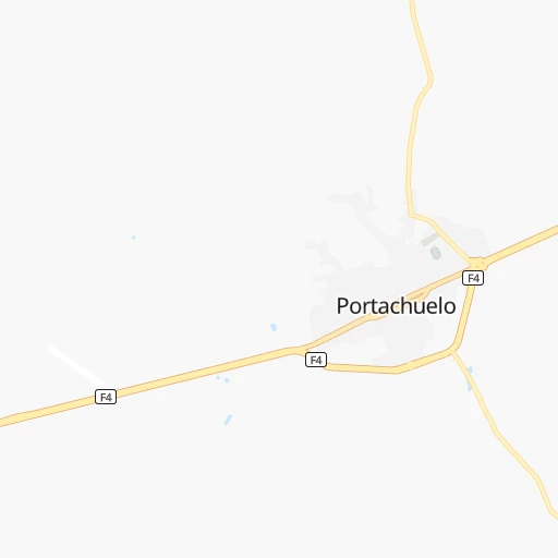
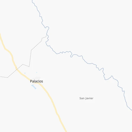
Roadmap (route) to go from Estación Portachuelo to Limoncito detailed above, you can also see the course layout on the map.
While doing trip Estación Portachuelo - Limoncito by car, the calculated route ends at a distance , or more straight.
Distance and duration of the route between Estación Portachuelo and Limoncito
Calculation of distance and route from Limoncito to Estación Portachuelo :
79.4111.9 km2h41mn
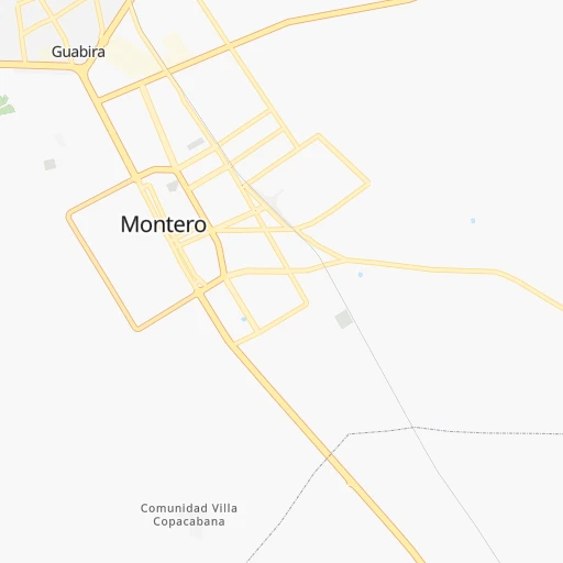
Continue 0h5mn 2.5 kmTurn left 0h1mn 696 mContinue onto Camino Portachuelo-Azubi 0h1mn 1.4 kmAt roundabout, take exit 3 0h11mn 13.2 kmKeep right onto RN4: Vía Santa Cruz-Montero-Guabirá 0h2mn 1.9 kmAt roundabout, take exit 2 onto Calle Independencia 0h2mn 2.2 kmAt roundabout, take exit 2 onto RN4: Vía Santa Cruz-Montero-Guabira 0h16mn 19.6 kmAt roundabout, take exit 1 onto Avenida 25 de Mayo 0h1mn 1.3 kmAt roundabout, take exit 2 onto Vía Santa Cruz-Montero-Guabira 0h23mn 26.2 kmAt roundabout, take exit 2 0h2mn 2.4 kmKeep right 0h0mn 48 mKeep right onto Avenida Cristóbal de Mendoza 0h1mn 1.0 kmTurn sharp left onto Avenida Busch 0h0mn 14 mTurn right onto Avenida 26 de Febrero 0h1mn 1.3 kmTurn right onto Avenida Roca y Coronado 0h0mn 10 mTurn left onto Avenida 26 de Febrero 0h1mn 1.5 kmAt roundabout, take exit 1 onto Avenida Grigotá 0h11mn 11.7 kmContinue onto RN7: Doble Vía Santa Cruz - La Guardia 0h5mn 5.6 kmAt roundabout, take exit 2 onto RN7: Doble Vía Santa Cruz-La Guardia 0h1mn 1.1 kmContinue onto RN7: La Guardia-Samaipata 0h15mn 17.9 kmTurn right 0h0mn 121 mArrive at destination 0h0mn 0 m
Travel from Estación Portachuelo (Santa Cruz) to a selection of major cities.
Distances from Estación Portachuelo to biggest cities in Santa Cruz
Other major cities in country :
Route from Limoncito to major cities (Bolivia).
- Distance Limoncito Cochabamba300 km
- Distance Limoncito La Paz532 km
- Distance Limoncito Sucre226 km
- Distance Limoncito Oruro396 km
- Distance Limoncito Tarija414 km
- Distance Limoncito Potosi302 km
- Distance Limoncito Sacaba288 km
- Distance Limoncito Quillacollo313 km
- Distance Limoncito Trinidad390 km
- Distance Limoncito Yacuiba445 km
- Distance Limoncito Riberalta833 km
- Distance Limoncito Tiquipaya308 km
Nearest cities to Estación Portachuelo :
- Santa Cruz de la Sierra, 1,364,389 inhabitants. 57 km
- Cochabamba, 900,414 inhabitants. 293 km
- Sucre, 224,838 inhabitants. 274 km
- Potosi, 141,251 inhabitants. 354 km
- Sacaba, 107,628 inhabitants. 280 km
- Montero, 88,616 inhabitants. 16 km
- Quillacollo, 87,309 inhabitants. 306 km
- Trinidad, 84,259 inhabitants. 320 km
- Tiquipaya, 53,904 inhabitants. 299 km
- Mizque, 30,481 inhabitants. 217 km
- Camiri, 27,961 inhabitants. 303 km
- San Ignacio de Velasco, 23,569 inhabitants. 282 km
- Warnes, 22,036 inhabitants. 33 km
- Ascencion de Guarayos, 18,816 inhabitants. 160 km
- Cotoca, 18,347 inhabitants. 67 km
- Villa Yapacani, 18,187 inhabitants. 47 km
- Santiago del Torno, 15,543 inhabitants. 75 km
- Punata, 15,194 inhabitants. 260 km
- Ascension, 14,429 inhabitants. 183 km
- Mineros, 14,385 inhabitants. 28 km
- Portachuelo, 11,485 inhabitants. 4 km
- Pailon, 9,304 inhabitants. 78 km
- Cliza, 8,654 inhabitants. 271 km
- Vallegrande, 8,422 inhabitants. 150 km
- Monteagudo, 8,289 inhabitants. 283 km
- Aiquile, 8,224 inhabitants. 213 km
- Tarata, 8,043 inhabitants. 280 km
- San Julian, 7,706 inhabitants. 77 km
- Concepcion, 6,900 inhabitants. 284 km
- La Belgica, 5,501 inhabitants. 32 km
- Santa Rosa del Sara, 5,251 inhabitants. 31 km
- Capinota, 5,157 inhabitants. 307 km
- Chimore, 5,147 inhabitants. 190 km
- Okinawa Numero Uno, 4,944 inhabitants. 63 km
- Betanzos, 4,847 inhabitants. 330 km
- Comarapa, 4,445 inhabitants. 137 km
- Mairana, 4,298 inhabitants. 107 km
- Buena Vista, 4,282 inhabitants. 33 km
- San Carlos, 4,180 inhabitants. 38 km
- Jorochito, 4,013 inhabitants. 82 km
- Colomi, 3,921 inhabitants. 262 km
- Arani, 3,906 inhabitants. 253 km
- Sipe Sipe, 3,776 inhabitants. 317 km
- San Juan del Surutu, 3,707 inhabitants. 37 km
- Limoncito, 3,622 inhabitants. 80 km
- Samaipata, 3,500 inhabitants. 109 km
- Urubicha, 3,267 inhabitants. 220 km
- Los Negros, 3,046 inhabitants. 47 km
- Charagua, 3,025 inhabitants. 276 km
Location Estación Portachuelo (Santa Cruz) :
| Country flag |  |
| Location | Estación Portachuelo |
| State | Santa Cruz |
| County | |
| Country | Bolivia |
| Country code / ISO 2 | BO |
| Latitude | -17.3166700 |
| Longitude | -63.4000000 |
| Altitude | 0 meters |
| Time zone | America/La_Paz |
Location Limoncito (Santa Cruz) :
| Country flag | |
| Location | Limoncito |
| State | Santa Cruz |
| County | |
| Country | Bolivia |
| Country code / ISO 2 | BO |
| Latitude | -18.0310400 |
| Longitude | -63.4052300 |
| Altitude | 0 meters |
| Time zone | America/La_Paz |