

How to get from Estación Quiñe (Santa Cruz) to Portachuelo (Santa Cruz)
Calculate route from Estación Quiñe (Santa Cruz, Bolivia) to Portachuelo (Santa Cruz, Bolivia).
The flight distance (as the crow flies) between Estación Quiñe and Portachuelo is 127.4 km.
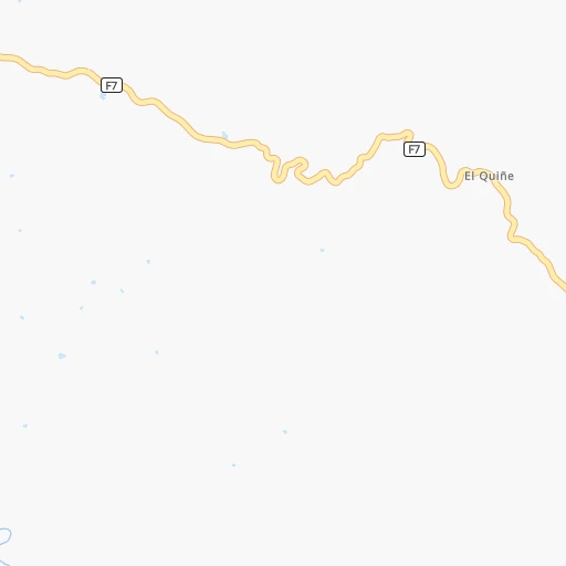
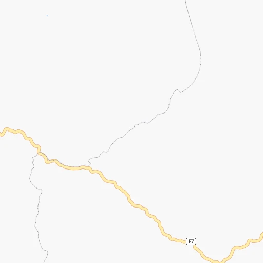
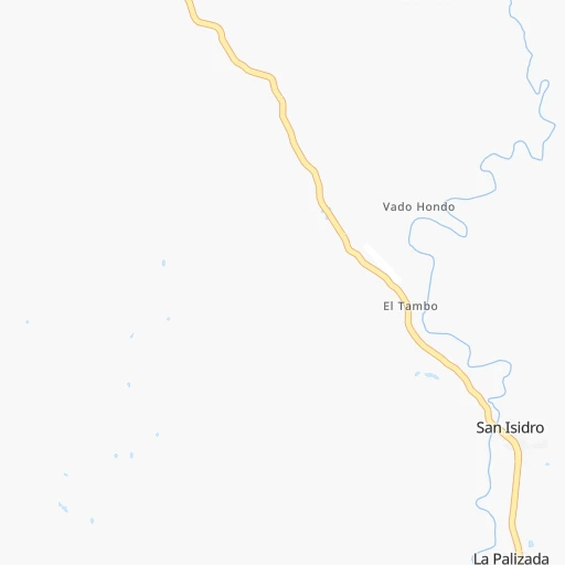
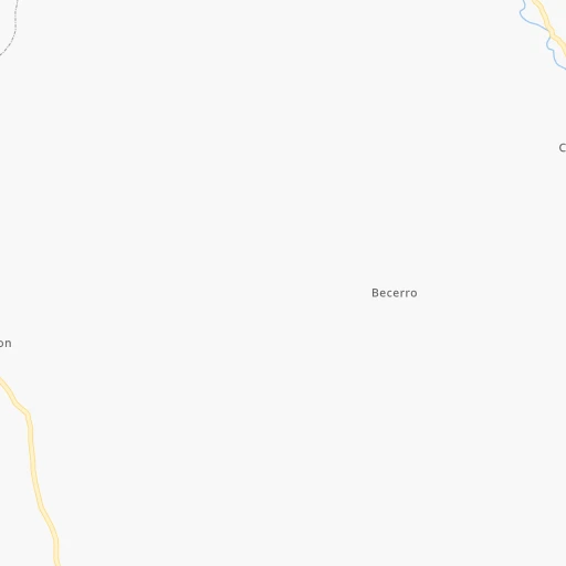
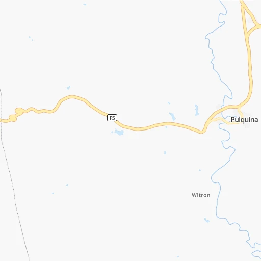
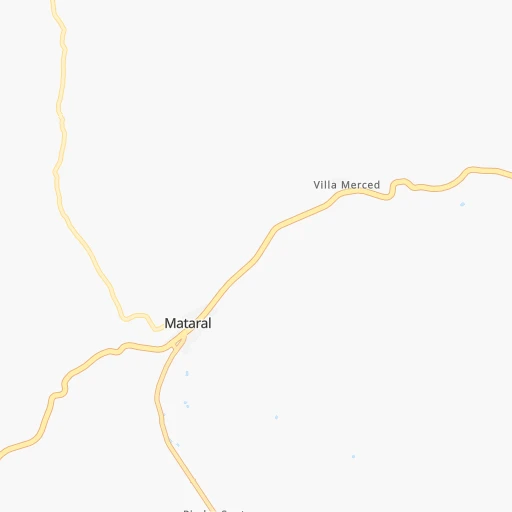
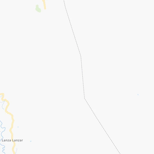
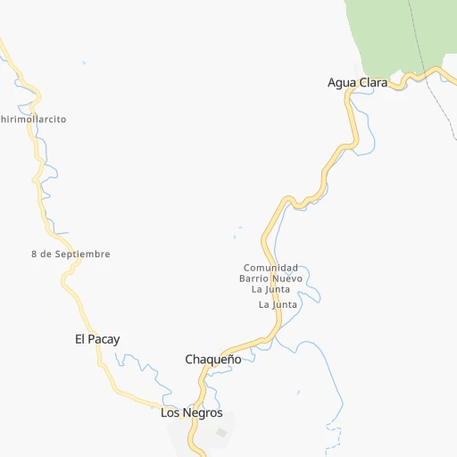
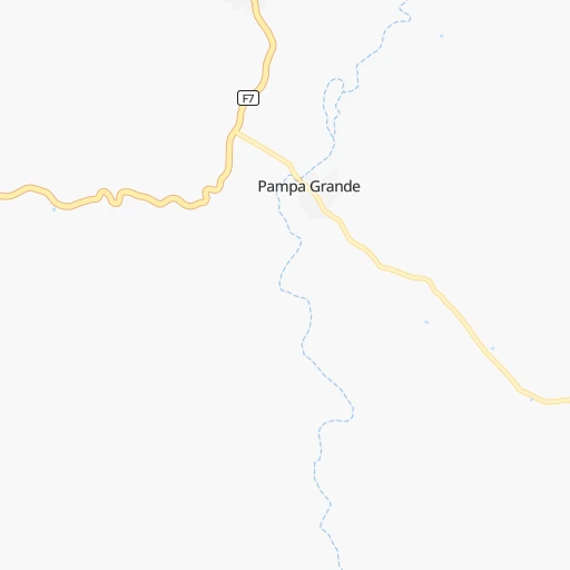
Roadmap (route) to go from Estación Quiñe to Portachuelo detailed above, you can also see the course layout on the map.
While doing trip Estación Quiñe - Portachuelo by car, the calculated route ends at a distance , or more straight.
Distance and duration of the route between Estación Quiñe and Portachuelo
Calculation of distance and route from Portachuelo to Estación Quiñe :
127.4268.1 km5h39mn
Continue 0h0mn 64 mTurn right 0h17mn 2.8 kmTurn right 0h0mn 143 mKeep right 0h12mn 6.2 kmTurn left onto RN7: La Palizada-Mataral 0h28mn 32.2 kmTurn right 0h2mn 1.6 kmTurn left 0h0mn 57 mTurn right 0h18mn 9.1 kmKeep left 0h3mn 871 mKeep right 0h3mn 857 mTurn right 0h1mn 304 mContinue 0h3mn 1.4 kmKeep right 0h10mn 3.3 kmTurn slight left 0h8mn 4.0 kmTurn right onto Avenida Avaroa 0h0mn 362 mTurn slight right onto RN7: Mataral-Samaipata 1h48mn 56.8 kmTurn right 0h0mn 13 mTurn left 0h0mn 77 mTurn right onto RN7: La Guardia-Samaipata 0h0mn 24 mKeep right 0h0mn 48 mKeep left 0h0mn 82 mTurn right 0h0mn 97 mTurn slight right onto RN7: La Guardia-Samaipata 1h49mn 58.2 kmAt roundabout, take exit 2 onto RN7: Doble Vía Santa Cruz-La Guardia 0h16mn 17.4 kmAt roundabout, take exit 3 onto Avenida 26 de Febrero 0h0mn 72 mKeep right onto Avenida 26 de Febrero 0h1mn 934 mKeep left onto Avenida 26 de Febrero 0h1mn 1.5 kmKeep right 0h0mn 395 mKeep left onto Avenida Cristóbal de Mendoza 0h1mn 974 mTurn left onto Avenida Cristo Redentor 0h25mn 28.7 kmAt roundabout, take exit 2 onto Avenida 25 de Mayo 0h1mn 1.3 kmAt roundabout, take exit 2 onto RN4: Vía Santa Cruz-Montero-Guabira 0h16mn 19.6 kmAt roundabout, take exit 1 onto Circunvalación Norte 0h0mn 152 mTurn left onto Calle 24 de Septiembre 0h2mn 2.0 kmTurn left onto Calle Héroes Nacionales 0h0mn 129 mTurn right onto Calle Independencia 0h0mn 171 mAt roundabout, take exit 2 onto RN4: Vía Santa Cruz-Montero-Guabirá 0h2mn 2.0 kmKeep left onto RN4: Guabirá-Portachuelo-Yapacaní 0h11mn 12.9 kmKeep right and drive toward Portachuelo 0h0mn 57 mKeep left and drive toward Portachuelo 0h0mn 12 mAt roundabout, take exit 3 onto Calle Warnes 0h1mn 1.2 kmTurn right onto Calle Beni 0h0mn 180 mArrive at destination 0h0mn 0 m
Travel from Estación Quiñe (Santa Cruz) to a selection of major cities.
Distances from Estación Quiñe to biggest cities in Santa Cruz
Other major cities in country :
Route from Portachuelo to major cities (Bolivia).
- Distance Portachuelo Cochabamba294 km
- Distance Portachuelo La Paz515 km
- Distance Portachuelo Sucre272 km
- Distance Portachuelo Oruro405 km
- Distance Portachuelo Tarija486 km
- Distance Portachuelo Potosi352 km
- Distance Portachuelo Sacaba281 km
- Distance Portachuelo Quillacollo307 km
- Distance Portachuelo Trinidad323 km
- Distance Portachuelo Yacuiba520 km
- Distance Portachuelo Riberalta763 km
- Distance Portachuelo Tiquipaya300 km
Nearest cities to Estación Quiñe :
- Santa Cruz de la Sierra, 1,364,389 inhabitants. 126 km
- Cochabamba, 900,414 inhabitants. 208 km
- Sucre, 224,838 inhabitants. 146 km
- Oruro, 208,684 inhabitants. 298 km
- Potosi, 141,251 inhabitants. 226 km
- Sacaba, 107,628 inhabitants. 195 km
- Montero, 88,616 inhabitants. 141 km
- Quillacollo, 87,309 inhabitants. 219 km
- Tiquipaya, 53,904 inhabitants. 215 km
- Mizque, 30,481 inhabitants. 108 km
- Llallagua, 28,069 inhabitants. 241 km
- Camiri, 27,961 inhabitants. 236 km
- Warnes, 22,036 inhabitants. 138 km
- Ascencion de Guarayos, 18,816 inhabitants. 271 km
- Cotoca, 18,347 inhabitants. 139 km
- Villa Yapacani, 18,187 inhabitants. 91 km
- Santiago del Torno, 15,543 inhabitants. 101 km
- Huanuni, 15,492 inhabitants. 266 km
- Punata, 15,194 inhabitants. 169 km
- Ascension, 14,429 inhabitants. 295 km
- Mineros, 14,385 inhabitants. 158 km
- Colchani, 11,988 inhabitants. 369 km
- Portachuelo, 11,485 inhabitants. 128 km
- Uyuni, 10,293 inhabitants. 374 km
- Pailon, 9,304 inhabitants. 174 km
- Cliza, 8,654 inhabitants. 178 km
- Vallegrande, 8,422 inhabitants. 53 km
- Monteagudo, 8,289 inhabitants. 197 km
- Aiquile, 8,224 inhabitants. 91 km
- Tarata, 8,043 inhabitants. 186 km
- Challapata, 8,016 inhabitants. 274 km
- San Julian, 7,706 inhabitants. 159 km
- La Belgica, 5,501 inhabitants. 132 km
- Santa Rosa del Sara, 5,251 inhabitants. 132 km
- Capinota, 5,157 inhabitants. 208 km
- Chimore, 5,147 inhabitants. 148 km
- Okinawa Numero Uno, 4,944 inhabitants. 186 km
- Betanzos, 4,847 inhabitants. 203 km
- Camargo, 4,715 inhabitants. 301 km
- Comarapa, 4,445 inhabitants. 27 km
- Mairana, 4,298 inhabitants. 40 km
- Buena Vista, 4,282 inhabitants. 98 km
- San Carlos, 4,180 inhabitants. 97 km
- Jorochito, 4,013 inhabitants. 96 km
- Colquiri, 3,933 inhabitants. 306 km
- Colomi, 3,921 inhabitants. 181 km
- Arani, 3,906 inhabitants. 162 km
- Sipe Sipe, 3,776 inhabitants. 228 km
- San Juan del Surutu, 3,707 inhabitants. 93 km
- Limoncito, 3,622 inhabitants. 98 km
Location Estación Quiñe (Santa Cruz) :
| Country flag |  |
| Location | Estación Quiñe |
| State | Santa Cruz |
| County | |
| Country | Bolivia |
| Country code / ISO 2 | BO |
| Latitude | -18.0666700 |
| Longitude | -64.3333300 |
| Altitude | 0 meters |
| Time zone | America/La_Paz |
Location Portachuelo (Santa Cruz) :
| Country flag | |
| Location | Portachuelo |
| State | Santa Cruz |
| County | |
| Country | Bolivia |
| Country code / ISO 2 | BO |
| Latitude | -17.3516800 |
| Longitude | -63.3928200 |
| Altitude | 0 meters |
| Time zone | America/La_Paz |