
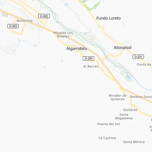

How to get from Altovalsol (Coquimbo Region) to Talagante (Santiago Metropolitan)
Calculate route from Altovalsol (Coquimbo Region, Chile) to Talagante (Santiago Metropolitan, Chile).
The flight distance (as the crow flies) between Altovalsol and Talagante is 413.5 km.
Roadmap (route) to go from Altovalsol to Talagante detailed above, you can also see the course layout on the map.
While doing trip Altovalsol - Talagante by car, the calculated route ends at a distance , or more straight.
Distance and duration of the route between Altovalsol and Talagante
Calculation of distance and route from Talagante to Altovalsol :
413.5522.8 km6h30mn
Continue 0h0mn 167 mTurn right onto Acceso Antiguo a Altovalsol 0h0mn 74 mTurn sharp left onto Acceso a Altovalsol 0h1mn 976 mKeep right 0h11mn 11.4 kmKeep left onto Avenida Juan Cisternas 0h1mn 437 mAt roundabout, take exit 2 onto Avenida Amunátegui 0h2mn 1.5 kmTurn left onto Ruta 5 Norte 3h28mn 342.0 kmContinue onto Ruta 5 Norte 1h3mn 101.7 kmKeep left onto Ruta 5 Norte 0h6mn 10.5 kmKeep right and drive toward Quilicura 0h1mn 553 mTurn right onto Cañaveral 0h2mn 1.8 kmTurn right onto Avenida San Ignacio 0h2mn 2.4 kmTurn right onto Lo Marcoleta 0h1mn 1.3 kmContinue onto General San Martín 0h1mn 893 mKeep right 0h0mn 447 mKeep left toward 70 0h10mn 14.8 kmKeep right and drive toward San Antonio, Maipú 0h1mn 700 mKeep right toward 78 0h17mn 29.3 kmKeep right and take G-40 toward Talagante, Isla de Maipo 0h0mn 98 mKeep left and take G-40 toward Talagante, Isla de Maipo 0h0mn 296 mAt roundabout, take exit 2 onto Avenida 21 de Mayo 0h1mn 501 mTurn right onto Avenida Tala Canta Ilabe 0h0mn 118 mTurn left onto Francisco Chacón 0h0mn 343 mTurn right onto Julio Vrancken 0h0mn 167 mTurn left onto José Leyan 0h0mn 273 mArrive at destination 0h0mn 0 m
Travel from Altovalsol (Santiago Metropolitan) to a selection of major cities.
Distances from Altovalsol to biggest cities in Coquimbo Region
Other major cities in country :
- Copiapo [05], 129,280 inhabitants. 297 km
- Los Angeles [06], 125,430 inhabitants. 845 km
- Punta Arenas [10], 117,430 inhabitants. 2,584 km
- Lo Prado [12], 104,316 inhabitants. 391 km
- Curico [11], 102,438 inhabitants. 561 km
- Villa Alemana [01], 97,320 inhabitants. 345 km
- Coronel [06], 92,940 inhabitants. 811 km
- San Antonio [01], 85,651 inhabitants. 409 km
- Chiguayante [06], 82,545 inhabitants. 797 km
- Linares [11], 69,535 inhabitants. 658 km
- Quillota [01], 67,779 inhabitants. 327 km
- Penaflor [12], 65,495 inhabitants. 408 km
- Melipilla [12], 63,100 inhabitants. 417 km
- San Felipe [01], 59,294 inhabitants. 314 km
- Los Andes [01], 56,859 inhabitants. 325 km
- Buin [12], 55,441 inhabitants. 423 km
- Talagante [12], 51,764 inhabitants. 414 km
Route from Talagante to major cities (Chile).
- Distance Talagante Antofagasta1,116 km
- Distance Talagante Vina del Mar92 km
- Distance Talagante Valparaiso96 km
- Distance Talagante Talcahuano395 km
- Distance Talagante Temuco585 km
- Distance Talagante Iquique1,499 km
- Distance Talagante Concepcion401 km
- Distance Talagante Rancagua59 km
- Distance Talagante Talca207 km
- Distance Talagante Arica1,692 km
- Distance Talagante Coquimbo415 km
- Distance Talagante Puerto Montt887 km
- Distance Talagante La Serena420 km
- Distance Talagante Chillan345 km
- Distance Talagante Calama1,263 km
- Distance Talagante Osorno794 km
- Distance Talagante Valdivia715 km
- Distance Talagante Quilpue84 km
- Distance Talagante Copiapo703 km
- Distance Talagante Los Angeles443 km
Nearest cities to Altovalsol :
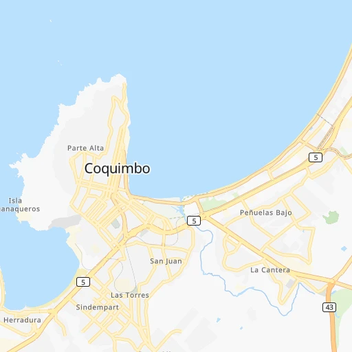
- Coquimbo, 161,317 inhabitants. 21 km
- La Serena, 154,521 inhabitants. 13 km
- Copiapo, 129,280 inhabitants. 297 km
- Ovalle, 77,138 inhabitants. 73 km
- Quillota, 67,779 inhabitants. 327 km
- San Felipe, 59,294 inhabitants. 314 km
- Los Andes, 56,859 inhabitants. 325 km
- Hacienda La Calera, 49,106 inhabitants. 316 km
- Vallenar, 44,895 inhabitants. 157 km
- La Ligua, 24,857 inhabitants. 279 km
- Illapel, 22,816 inhabitants. 188 km
- Llaillay, 16,646 inhabitants. 323 km
- Monte Patria, 13,945 inhabitants. 85 km
- Vicuna, 13,496 inhabitants. 41 km
- Salamanca, 13,265 inhabitants. 205 km
Location Altovalsol (Coquimbo Region) :
| Country flag |  |
| Location | Altovalsol |
| State | Coquimbo Region |
| County | Provincia de Elqui |
| Country | Chile |
| Country code / ISO 2 | CL |
| Latitude | -29.9466900 |
| Longitude | -71.1232900 |
| Altitude | 0 meters |
| Time zone | America/Santiago |
Location Talagante (Santiago Metropolitan) :
| Country flag | |
| Location | Talagante |
| State | Santiago Metropolitan |
| County | Provincia de Talagante |
| Country | Chile |
| Country code / ISO 2 | CL |
| Latitude | -33.6638600 |
| Longitude | -70.9273400 |
| Altitude | 0 meters |
| Time zone | America/Santiago |