
How to get from Chacayal (Los Lagos Region) to Collipulli (Araucanía)
Calculate route from Chacayal (Los Lagos Region, Chile) to Collipulli (Araucanía, Chile).
The flight distance (as the crow flies) between Chacayal and Collipulli is 288.8 km.
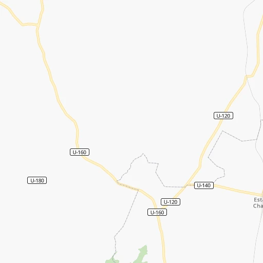
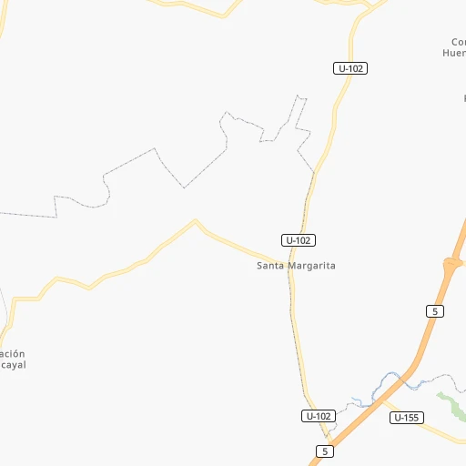
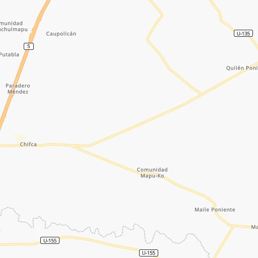
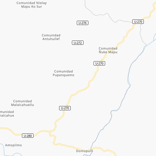
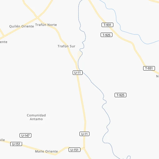
Roadmap (route) to go from Chacayal to Collipulli detailed above, you can also see the course layout on the map.
While doing trip Chacayal - Collipulli by car, the calculated route ends at a distance , or more straight.
Distance and duration of the route between Chacayal and Collipulli
Calculation of distance and route from Collipulli to Chacayal :
288.8345.1 km4h48mn
Continue 0h0mn 163 mTurn right onto Ruta U-140 0h0mn 76 mTurn left onto Ruta U-140 0h3mn 1.6 kmTurn right onto Ruta U-140 0h5mn 2.6 kmTurn right onto Ruta U-140 0h1mn 436 mTurn sharp left 0h2mn 1.2 kmTurn right 0h3mn 1.3 kmTurn left onto Camino a Caracol 0h2mn 877 mTurn right 0h5mn 2.5 kmTurn left onto Ruta U-152 0h3mn 2.3 kmTurn right onto Ruta U-152 0h0mn 182 mTurn right 0h0mn 69 mTurn left 0h0mn 74 mTurn left onto Caletera Ruta 5 0h1mn 421 mContinue toward 5 1h29mn 147.8 kmKeep right and drive toward Loncoche 0h1mn 1.1 kmTurn sharp right onto Aníbal Pinto 0h0mn 40 mTurn left onto Diego Portales 0h1mn 494 mTurn left onto Diego Portales 0h0mn 234 mTurn left onto Avenida José Manuel Balmaceda 0h0mn 177 mKeep right toward 5 2h48mn 179.7 kmKeep right and take R-49 toward Curaco, Termas Pemehue 0h0mn 72 mKeep right and take R-49 toward Curaco, Termas Pemehue 0h0mn 333 mTurn sharp left onto Ruta R-49 0h0mn 364 mTurn right onto Saavedra Sur 0h0mn 233 mTurn right onto Cerro 0h0mn 63 mTurn left onto Saavedra Norte 0h0mn 358 mTurn right onto Bulnes 0h0mn 120 mTurn left onto Sargento Aldea 0h0mn 180 mArrive at destination 0h0mn 0 m
Travel from Chacayal (Araucanía) to a selection of major cities.
Distances from Chacayal to biggest cities in Los Lagos Region
Other major cities in country :
- Copiapo [05], 129,280 inhabitants. 1,484 km
- Los Angeles [06], 125,430 inhabitants. 344 km
- Punta Arenas [10], 117,430 inhabitants. 1,419 km
- Lo Prado [12], 104,316 inhabitants. 814 km
- Curico [11], 102,438 inhabitants. 636 km
- Villa Alemana [01], 97,320 inhabitants. 844 km
- Coronel [06], 92,940 inhabitants. 386 km
- San Antonio [01], 85,651 inhabitants. 780 km
- Chiguayante [06], 82,545 inhabitants. 398 km
- Ovalle [07], 77,138 inhabitants. 1,115 km
- Linares [11], 69,535 inhabitants. 535 km
- Quillota [01], 67,779 inhabitants. 864 km
- Penaflor [12], 65,495 inhabitants. 793 km
- Melipilla [12], 63,100 inhabitants. 777 km
- San Felipe [01], 59,294 inhabitants. 889 km
- Los Andes [01], 56,859 inhabitants. 882 km
- Buin [12], 55,441 inhabitants. 782 km
- Talagante [12], 51,764 inhabitants. 785 km
Route from Collipulli to major cities (Chile).
- Distance Collipulli Santiago526 km
- Distance Collipulli Puente Alto512 km
- Distance Collipulli Antofagasta1,604 km
- Distance Collipulli Vina del Mar555 km
- Distance Collipulli Valparaiso552 km
- Distance Collipulli Talcahuano150 km
- Distance Collipulli San Bernardo510 km
- Distance Collipulli Iquique1,987 km
- Distance Collipulli Concepcion137 km
- Distance Collipulli Rancagua448 km
- Distance Collipulli La Pintana513 km
- Distance Collipulli Talca290 km
- Distance Collipulli Arica2,178 km
- Distance Collipulli Coquimbo896 km
- Distance Collipulli Puerto Montt394 km
- Distance Collipulli La Serena903 km
- Distance Collipulli Chillan153 km
- Distance Collipulli Calama1,758 km
- Distance Collipulli Osorno298 km
- Distance Collipulli Valdivia219 km
Nearest cities to Chacayal :
- Temuco, 238,129 inhabitants. 201 km
- Puerto Montt, 160,054 inhabitants. 109 km
- Osorno, 135,773 inhabitants. 8 km
- Valdivia, 133,419 inhabitants. 77 km
- Angol, 44,856 inhabitants. 303 km
- Villarrica, 31,602 inhabitants. 155 km
- Las Animas, 30,000 inhabitants. 77 km
- Castro, 29,926 inhabitants. 226 km
- Ancud, 28,020 inhabitants. 163 km
- Pucon, 26,953 inhabitants. 168 km
- La Union, 26,298 inhabitants. 23 km
- Puerto Varas, 24,958 inhabitants. 92 km
- Victoria, 24,555 inhabitants. 261 km
- Lebu, 22,345 inhabitants. 325 km
- Mulchen, 22,170 inhabitants. 319 km
- Quellon, 21,823 inhabitants. 295 km
- Lautaro, 21,579 inhabitants. 227 km
- Nacimiento, 21,220 inhabitants. 336 km
- Canete, 20,158 inhabitants. 301 km
- Nueva Imperial, 18,777 inhabitants. 196 km
- Frutillar, 16,939 inhabitants. 70 km
- Collipulli, 16,392 inhabitants. 289 km
- Panguipulli, 16,312 inhabitants. 117 km
- Loncoche, 15,590 inhabitants. 133 km
- Rio Bueno, 15,456 inhabitants. 23 km
- Traiguen, 14,481 inhabitants. 253 km
- Pitrufquen, 13,743 inhabitants. 173 km
- Purranque, 13,619 inhabitants. 46 km
- Chonchi, 12,572 inhabitants. 243 km
- Calbuco, 12,490 inhabitants. 142 km
- Carahue, 11,875 inhabitants. 199 km
- Vilcun, 9,241 inhabitants. 218 km
- Freire, 7,813 inhabitants. 177 km
- Chaiten, 4,065 inhabitants. 271 km
- Puyehue, 3,932 inhabitants. 48 km
- Corral, 3,500 inhabitants. 73 km
Location Chacayal (Los Lagos Region) :
| Country flag |  |
| Location | Chacayal |
| State | Los Lagos Region |
| County | Provincia de Osorno |
| Country | Chile |
| Country code / ISO 2 | CL |
| Latitude | -40.4979800 |
| Longitude | -73.1254200 |
| Altitude | 0 meters |
| Time zone | America/Santiago |
Location Collipulli (Araucanía) :
| Country flag | |
| Location | Collipulli |
| State | Araucanía |
| County | Provincia de Malleco |
| Country | Chile |
| Country code / ISO 2 | CL |
| Latitude | -37.9545300 |
| Longitude | -72.4343800 |
| Altitude | 0 meters |
| Time zone | America/Santiago |