


How to get from Estación Pan de Azúcar (Tarapacá) to Talagante (Santiago Metropolitan)
Calculate route from Estación Pan de Azúcar (Tarapacá, Chile) to Talagante (Santiago Metropolitan, Chile).
The flight distance (as the crow flies) between Estación Pan de Azúcar and Talagante is 1,444.8 km.
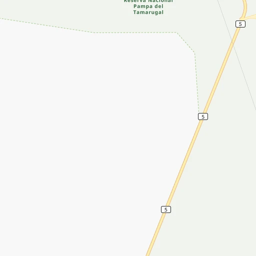
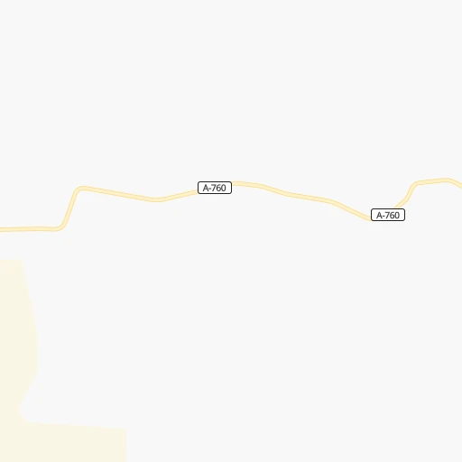
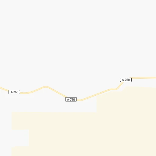
Roadmap (route) to go from Estación Pan de Azúcar to Talagante detailed above, you can also see the course layout on the map.
While doing trip Estación Pan de Azúcar - Talagante by car, the calculated route ends at a distance , or more straight.
Distance and duration of the route between Estación Pan de Azúcar and Talagante
Calculation of distance and route from Talagante to Estación Pan de Azúcar :
1,444.81,744.7 km20h9mn
Continue 0h2mn 260 mTurn right onto Ruta 5 Norte 5h3mn 430.6 kmKeep right and take B-710 toward Paposo 0h0mn 117 mTurn slight right onto Ruta B-700 2h30mn 121.6 kmTurn left 0h7mn 3.4 kmTurn left onto Ruta 1 1h33mn 45.7 kmTurn left onto Copiapó 0h0mn 60 mTurn right onto Avenida Cementerio 0h1mn 1.0 kmTurn left onto Ruta 1 0h16mn 19.2 kmKeep right onto Acceso a Aeródromo Las Breas 0h2mn 1.2 kmKeep right 0h5mn 2.6 kmKeep left 0h1mn 605 mTurn left 0h0mn 40 mTurn right onto Ruta 5 Norte 1h20mn 115.1 kmKeep right 0h0mn 184 mTurn left onto Camino a Planta Resguardo 0h0mn 19 mTurn right onto Ruta 5 Norte 0h3mn 2.0 kmTurn left onto Avenida La Paz 0h0mn 177 mAt roundabout, take exit 1 onto Costanera 0h0mn 204 mKeep left onto Costanera 0h0mn 15 mTurn slight right onto Diego de Almeyda 0h0mn 274 mTurn right onto Quebrada Conchuelas 0h0mn 17 mTurn left onto Ruta 5 Norte 6h46mn 488.6 kmKeep right and drive toward Caleta San Pedro, La Compañía 4h32mn 345.7 kmContinue onto Ruta 5 Norte 1h3mn 101.7 kmKeep left onto Ruta 5 Norte 0h6mn 10.5 kmKeep right and drive toward Quilicura 0h1mn 553 mTurn right onto Cañaveral 0h2mn 1.8 kmTurn right onto Avenida San Ignacio 0h2mn 2.4 kmTurn right onto Lo Marcoleta 0h1mn 1.3 kmContinue onto General San Martín 0h1mn 893 mKeep right 0h0mn 447 mKeep left toward 70 0h10mn 14.8 kmKeep right and drive toward San Antonio, Maipú 0h1mn 700 mKeep right toward 78 0h17mn 29.3 kmKeep right and take G-40 toward Talagante, Isla de Maipo 0h0mn 98 mKeep left and take G-40 toward Talagante, Isla de Maipo 0h0mn 296 mAt roundabout, take exit 2 onto Avenida 21 de Mayo 0h1mn 501 mTurn right onto Avenida Tala Canta Ilabe 0h0mn 118 mTurn left onto Francisco Chacón 0h0mn 343 mTurn right onto Julio Vrancken 0h0mn 167 mTurn left onto José Leyan 0h0mn 273 mArrive at destination 0h0mn 0 m
Travel from Estación Pan de Azúcar (Santiago Metropolitan) to a selection of major cities.
Distances from Estación Pan de Azúcar to biggest cities in Tarapacá
Other major cities in country :
- Quilpue [01], 130,263 inhabitants. 1,385 km
- Copiapo [05], 129,280 inhabitants. 744 km
- Los Angeles [06], 125,430 inhabitants. 1,884 km
- Punta Arenas [10], 117,430 inhabitants. 3,613 km
- Lo Prado [12], 104,316 inhabitants. 1,421 km
- Curico [11], 102,438 inhabitants. 1,596 km
- Villa Alemana [01], 97,320 inhabitants. 1,383 km
- Coronel [06], 92,940 inhabitants. 1,848 km
- San Antonio [01], 85,651 inhabitants. 1,447 km
- Chiguayante [06], 82,545 inhabitants. 1,834 km
- Ovalle [07], 77,138 inhabitants. 1,112 km
- Linares [11], 69,535 inhabitants. 1,695 km
- Quillota [01], 67,779 inhabitants. 1,364 km
- Penaflor [12], 65,495 inhabitants. 1,441 km
- Melipilla [12], 63,100 inhabitants. 1,453 km
- San Felipe [01], 59,294 inhabitants. 1,344 km
- Los Andes [01], 56,859 inhabitants. 1,353 km
- Buin [12], 55,441 inhabitants. 1,453 km
- Talagante [12], 51,764 inhabitants. 1,447 km
Route from Talagante to major cities (Chile).
- Distance Talagante Antofagasta1,116 km
- Distance Talagante Vina del Mar92 km
- Distance Talagante Valparaiso96 km
- Distance Talagante Talcahuano395 km
- Distance Talagante Temuco585 km
- Distance Talagante Iquique1,499 km
- Distance Talagante Concepcion401 km
- Distance Talagante Rancagua59 km
- Distance Talagante Talca207 km
- Distance Talagante Arica1,692 km
- Distance Talagante Coquimbo415 km
- Distance Talagante Puerto Montt887 km
- Distance Talagante La Serena420 km
- Distance Talagante Chillan345 km
- Distance Talagante Calama1,263 km
- Distance Talagante Osorno794 km
- Distance Talagante Valdivia715 km
- Distance Talagante Quilpue84 km
- Distance Talagante Copiapo703 km
- Distance Talagante Los Angeles443 km
Nearest cities to Estación Pan de Azúcar :
Location Estación Pan de Azúcar (Tarapacá) :
| Country flag |  |
| Location | Estación Pan de Azúcar |
| State | Tarapacá |
| County | Provincia del Tamarugal |
| Country | Chile |
| Country code / ISO 2 | CL |
| Latitude | -20.7116400 |
| Longitude | -69.6480500 |
| Altitude | 0 meters |
| Time zone | America/Santiago |
Location Talagante (Santiago Metropolitan) :
| Country flag | |
| Location | Talagante |
| State | Santiago Metropolitan |
| County | Provincia de Talagante |
| Country | Chile |
| Country code / ISO 2 | CL |
| Latitude | -33.6638600 |
| Longitude | -70.9273400 |
| Altitude | 0 meters |
| Time zone | America/Santiago |