

How to get from Panguipulli (Araucanía) to Arauco (Biobío)
Calculate route from Panguipulli (Araucanía, Chile) to Arauco (Biobío, Chile).
The flight distance (as the crow flies) between Panguipulli and Arauco is 279.6 km.
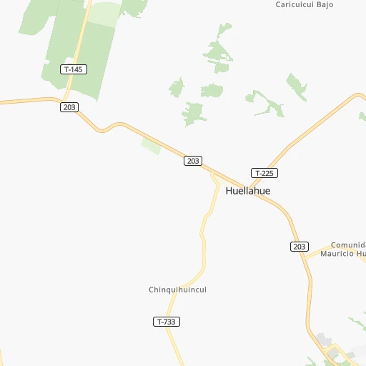
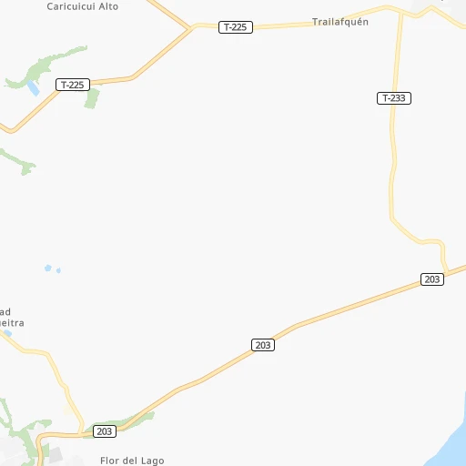
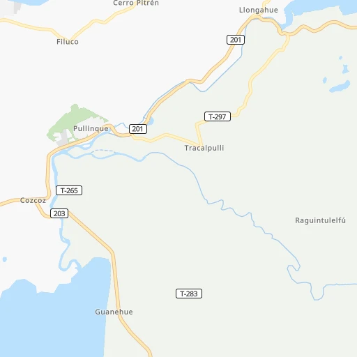
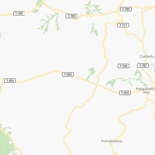
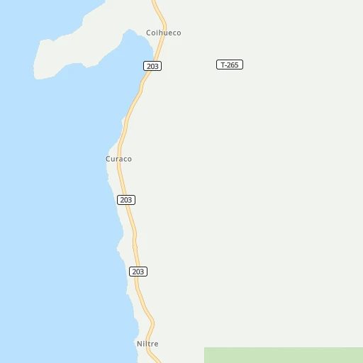
Roadmap (route) to go from Panguipulli to Arauco detailed above, you can also see the course layout on the map.
While doing trip Panguipulli - Arauco by car, the calculated route ends at a distance , or more straight.
Distance and duration of the route between Panguipulli and Arauco
Calculation of distance and route from Arauco to Panguipulli :
279.6388.5 km6h13mn
Continue 0h0mn 70 mTurn left 0h0mn 11 mContinue onto Gabriela Mistral 0h0mn 11 mTurn left onto Gabriela Mistral 0h0mn 148 mTurn sharp right onto Avenida Juan Pablo II 0h0mn 61 mTurn left onto Avenida Juan Pablo II 0h0mn 48 mTurn left onto Bernardo O'Higgins 0h6mn 4.7 kmTurn sharp right onto Ruta T-225 0h8mn 6.9 kmTurn left onto Ruta T-785-S 0h8mn 5.4 kmTurn right onto Ruta T-261-S 0h6mn 4.9 kmTurn left onto Ruta T-243 0h5mn 2.4 kmTurn left 0h2mn 826 mTurn left 0h1mn 626 mTurn right onto Camino Chesque - Catani 0h10mn 9.3 kmTurn left onto Ruta S-95-T 0h14mn 15.4 kmTurn right onto Manuel Antonio Matta 0h1mn 919 mTurn left onto General Basilio Urrutia 0h0mn 363 mTurn right onto Avenida José Miguel Carrera 1h40mn 52.1 kmContinue onto Camino Internacional Monseñor Francisco Valdés Subercaseaux 0h0mn 320 mKeep right toward 5 1h17mn 125.6 kmKeep right and take R-49 toward Curaco, Termas Pemehue 0h0mn 72 mKeep right and take R-49 toward Curaco, Termas Pemehue 0h0mn 333 mTurn sharp left onto Ruta R-49 0h2mn 1.3 kmTurn left onto Balmaceda 0h0mn 236 mContinue onto Avenida Dino Stagno 0h19mn 26.1 kmTurn right onto Camino Huequén 0h2mn 1.5 kmKeep right onto Ruta 180 0h25mn 30.9 kmTurn slight left onto Ruta de la Madera 0h6mn 5.8 kmKeep right 0h7mn 5.7 kmTurn slight right onto Ruta de la Madera 1h38mn 34.6 kmTurn left onto Camino Coihue 0h7mn 3.6 kmTurn left onto Ruta O-926 0h5mn 2.5 kmTurn left onto Ruta O-926 0h4mn 1.9 kmTurn right onto Ruta O-186-P 0h13mn 6.4 kmTurn slight left onto Ruta O-186-P 0h4mn 1.5 kmTurn slight right onto Ruta O-186-P 1h47mn 23.3 kmTurn slight right onto Ruta P-240 0h5mn 4.3 kmTurn left onto Patria 0h0mn 9 mTurn right onto Monsalves 0h1mn 647 mKeep left 0h0mn 26 mTurn slight left onto Ex Ruta 160 0h0mn 61 mAt roundabout, take exit 2 onto Caletera Ruta 160 0h9mn 7.5 kmTurn left onto Caupolicán 0h0mn 62 mArrive at destination 0h0mn 0 m
Travel from Panguipulli (Biobío) to a selection of major cities.
Distances from Panguipulli to biggest cities in Araucanía
Other major cities in country :
- Quilpue [01], 130,263 inhabitants. 739 km
- Copiapo [05], 129,280 inhabitants. 1,379 km
- Los Angeles [06], 125,430 inhabitants. 242 km
- Punta Arenas [10], 117,430 inhabitants. 1,508 km
- Lo Prado [12], 104,316 inhabitants. 705 km
- Curico [11], 102,438 inhabitants. 528 km
- Villa Alemana [01], 97,320 inhabitants. 740 km
- Coronel [06], 92,940 inhabitants. 299 km
- San Antonio [01], 85,651 inhabitants. 676 km
- Chiguayante [06], 82,545 inhabitants. 308 km
- Ovalle [07], 77,138 inhabitants. 1,012 km
- Linares [11], 69,535 inhabitants. 428 km
- Quillota [01], 67,779 inhabitants. 759 km
- Penaflor [12], 65,495 inhabitants. 685 km
- Melipilla [12], 63,100 inhabitants. 670 km
- San Felipe [01], 59,294 inhabitants. 781 km
- Los Andes [01], 56,859 inhabitants. 774 km
- Buin [12], 55,441 inhabitants. 673 km
- Talagante [12], 51,764 inhabitants. 677 km
Route from Arauco to major cities (Chile).
- Distance Arauco Santiago486 km
- Distance Arauco Puente Alto475 km
- Distance Arauco Antofagasta1,539 km
- Distance Arauco Vina del Mar497 km
- Distance Arauco Valparaiso493 km
- Distance Arauco San Bernardo471 km
- Distance Arauco Temuco178 km
- Distance Arauco Iquique1,921 km
- Distance Arauco Rancagua414 km
- Distance Arauco La Pintana475 km
- Distance Arauco Talca252 km
- Distance Arauco Arica2,110 km
- Distance Arauco Coquimbo832 km
- Distance Arauco Puerto Montt471 km
- Distance Arauco La Serena839 km
- Distance Arauco Calama1,700 km
- Distance Arauco Osorno371 km
- Distance Arauco Valdivia286 km
- Distance Arauco Quilpue498 km
- Distance Arauco Copiapo1,135 km
Nearest cities to Panguipulli :
- Talcahuano, 252,968 inhabitants. 332 km
- Temuco, 238,129 inhabitants. 103 km
- Concepcion, 215,413 inhabitants. 320 km
- Puerto Montt, 160,054 inhabitants. 210 km
- Osorno, 135,773 inhabitants. 124 km
- Valdivia, 133,419 inhabitants. 80 km
- Los Angeles, 125,430 inhabitants. 242 km
- Coronel, 92,940 inhabitants. 299 km
- Chiguayante, 82,545 inhabitants. 308 km
- Lota, 49,763 inhabitants. 293 km
- Penco, 46,091 inhabitants. 328 km
- Angol, 44,856 inhabitants. 208 km
- Villarrica, 31,602 inhabitants. 41 km
- Curanilahue, 30,611 inhabitants. 256 km
- Las Animas, 30,000 inhabitants. 78 km
- Castro, 29,926 inhabitants. 337 km
- Ancud, 28,020 inhabitants. 278 km
- Pucon, 26,953 inhabitants. 52 km
- La Union, 26,298 inhabitants. 96 km
- Puerto Varas, 24,958 inhabitants. 195 km
- Arauco, 24,659 inhabitants. 280 km
- Victoria, 24,555 inhabitants. 157 km
- Lebu, 22,345 inhabitants. 254 km
- Mulchen, 22,170 inhabitants. 214 km
- Lautaro, 21,579 inhabitants. 124 km
- Nacimiento, 21,220 inhabitants. 240 km
- Canete, 20,158 inhabitants. 225 km
- Nueva Imperial, 18,777 inhabitants. 113 km
- Cabrero, 18,327 inhabitants. 290 km
- Frutillar, 16,939 inhabitants. 176 km
- La Laja, 16,550 inhabitants. 265 km
- Collipulli, 16,392 inhabitants. 188 km
- Panguipulli, 16,312 inhabitants. 0 km
- Loncoche, 15,590 inhabitants. 40 km
- Rio Bueno, 15,456 inhabitants. 93 km
- Traiguen, 14,481 inhabitants. 158 km
- Pitrufquen, 13,743 inhabitants. 77 km
- Purranque, 13,619 inhabitants. 158 km
- Bulnes, 12,715 inhabitants. 323 km
- Chonchi, 12,572 inhabitants. 353 km
- Calbuco, 12,490 inhabitants. 246 km
- Carahue, 11,875 inhabitants. 126 km
- Yumbel, 11,111 inhabitants. 284 km
- Vilcun, 9,241 inhabitants. 109 km
- Freire, 7,813 inhabitants. 81 km
- Puyehue, 3,932 inhabitants. 115 km
- Corral, 3,500 inhabitants. 97 km
Location Panguipulli (Araucanía) :
| Country flag |  |
| Location | Panguipulli |
| State | Araucanía |
| County | |
| Country | Chile |
| Country code / ISO 2 | CL |
| Latitude | -39.6428500 |
| Longitude | -72.3382100 |
| Altitude | 0 meters |
| Time zone | America/Santiago |
Location Arauco (Biobío) :
| Country flag | |
| Location | Arauco |
| State | Biobío |
| County | Provincia de Arauco |
| Country | Chile |
| Country code / ISO 2 | CL |
| Latitude | -37.2463000 |
| Longitude | -73.3175200 |
| Altitude | 0 meters |
| Time zone | America/Santiago |
