

How to get from Estación Peleco (Biobío) to Parral (Maule Region)
Calculate route from Estación Peleco (Biobío, Chile) to Parral (Maule Region, Chile).
The flight distance (as the crow flies) between Estación Peleco and Parral is 236.5 km.
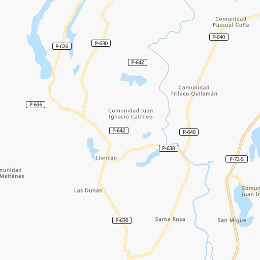
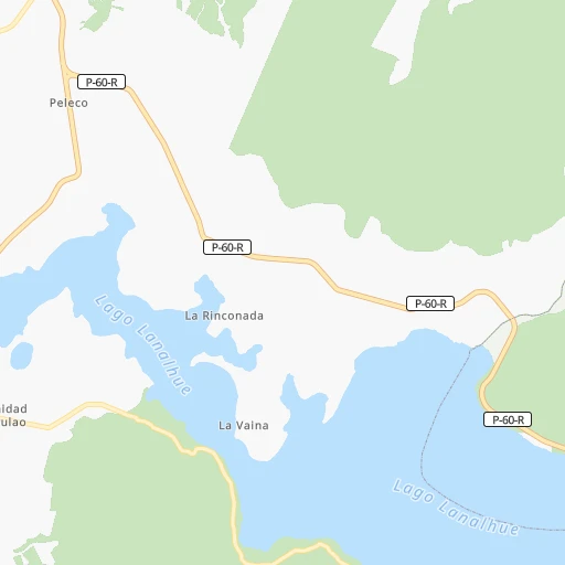
Roadmap (route) to go from Estación Peleco to Parral detailed above, you can also see the course layout on the map.
While doing trip Estación Peleco - Parral by car, the calculated route ends at a distance , or more straight.
Distance and duration of the route between Estación Peleco and Parral
Calculation of distance and route from Parral to Estación Peleco :
236.5303.4 km4h1mn
Continue onto Ruta P-72-S 0h1mn 901 mContinue onto Ruta P-60-R 1h34mn 30.0 kmAt roundabout, take exit 1 onto Diego Portales 0h3mn 2.6 kmAt roundabout, take exit 2 onto Ruta 160 1h43mn 54.1 kmKeep right and drive toward Laraquete 0h1mn 660 mKeep right and drive toward Laraquete 0h0mn 117 mContinue onto Gabriela Mistral 1h44mn 45.0 kmKeep right 0h0mn 67 mTurn slight left onto Calle de Servicio Ruta 160 0h0mn 302 mKeep left toward 160 0h2mn 1.8 kmKeep right onto Avenida Pedro Aguirre Cerda and drive toward San Pedro de la Paz 0h0mn 199 mKeep left 0h0mn 112 mTurn sharp right 0h2mn 1.7 kmKeep right and drive toward Concepción, Talcahuano 0h6mn 6.7 kmKeep right and drive toward Las Monjas 0h1mn 610 mKeep left and drive toward Aeropuerto, Ruta Interportuaria 0h1mn 541 mKeep right 0h0mn 106 mKeep left 0h0mn 168 mAt roundabout, take exit 1 onto Avenida Jorge Alessandri 0h3mn 3.3 kmKeep right and drive toward Penco, Ruta 5 0h0mn 257 mContinue onto Ruta Interportuaria 1h51mn 78.4 kmKeep left and take 5 toward Al Norte 1h43mn 73.0 kmKeep right and take 128, L-851 toward Parral, Catillo 0h0mn 137 mKeep right and take L-851 toward Catillo 0h0mn 142 mTurn sharp left onto Camino a Catillo 0h0mn 170 mTurn left onto Camino a Catillo 0h0mn 239 mKeep right and take 128 toward Parral, Cauquenes 0h0mn 101 mTurn slight right onto Camino a Catillo 0h2mn 1.2 kmTurn right onto Balmaceda 0h1mn 485 mTurn left onto San Martín 0h0mn 277 mTurn right onto Igualdad 0h0mn 86 mArrive at destination 0h0mn 0 m
Travel from Estación Peleco (Maule Region) to a selection of major cities.
Distances from Estación Peleco to biggest cities in Biobío
Other major cities in country :
- Punta Arenas [10], 117,430 inhabitants. 1,712 km
- Lo Prado [12], 104,316 inhabitants. 548 km
- Curico [11], 102,438 inhabitants. 374 km
- Villa Alemana [01], 97,320 inhabitants. 568 km
- San Antonio [01], 85,651 inhabitants. 502 km
- Ovalle [07], 77,138 inhabitants. 834 km
- Linares [11], 69,535 inhabitants. 276 km
- Quillota [01], 67,779 inhabitants. 588 km
- Penaflor [12], 65,495 inhabitants. 526 km
- Melipilla [12], 63,100 inhabitants. 505 km
- San Felipe [01], 59,294 inhabitants. 619 km
- Los Andes [01], 56,859 inhabitants. 615 km
- Buin [12], 55,441 inhabitants. 519 km
- Talagante [12], 51,764 inhabitants. 518 km
Route from Parral to major cities (Chile).
- Distance Parral Santiago318 km
- Distance Parral Puente Alto304 km
- Distance Parral Antofagasta1,397 km
- Distance Parral Vina del Mar348 km
- Distance Parral Valparaiso346 km
- Distance Parral Talcahuano133 km
- Distance Parral San Bernardo302 km
- Distance Parral Temuco297 km
- Distance Parral Iquique1,781 km
- Distance Parral Concepcion133 km
- Distance Parral Rancagua241 km
- Distance Parral La Pintana305 km
- Distance Parral Arica1,973 km
- Distance Parral Coquimbo691 km
- Distance Parral Puerto Montt601 km
- Distance Parral La Serena697 km
- Distance Parral Chillan57 km
- Distance Parral Calama1,549 km
- Distance Parral Osorno506 km
- Distance Parral Valdivia427 km
Nearest cities to Estación Peleco :
- Talcahuano, 252,968 inhabitants. 130 km
- Temuco, 238,129 inhabitants. 118 km
- Concepcion, 215,413 inhabitants. 120 km
- Talca, 197,479 inhabitants. 313 km
- Chillan, 150,396 inhabitants. 181 km
- Osorno, 135,773 inhabitants. 301 km
- Valdivia, 133,419 inhabitants. 216 km
- Los Angeles, 125,430 inhabitants. 101 km
- Curico, 102,438 inhabitants. 374 km
- Coronel, 92,940 inhabitants. 96 km
- Chiguayante, 82,545 inhabitants. 110 km
- Linares, 69,535 inhabitants. 276 km
- Lota, 49,763 inhabitants. 89 km
- Tome, 46,698 inhabitants. 145 km
- Penco, 46,091 inhabitants. 131 km
- Angol, 44,856 inhabitants. 59 km
- Constitucion, 37,917 inhabitants. 296 km
- Villarrica, 31,602 inhabitants. 186 km
- San Carlos, 31,517 inhabitants. 205 km
- Cauquenes, 31,362 inhabitants. 232 km
- Curanilahue, 30,611 inhabitants. 44 km
- Las Animas, 30,000 inhabitants. 216 km
- Molina, 28,775 inhabitants. 360 km
- Pucon, 26,953 inhabitants. 200 km
- Parral, 26,904 inhabitants. 237 km
- La Union, 26,298 inhabitants. 271 km
- Arauco, 24,659 inhabitants. 70 km
- Victoria, 24,555 inhabitants. 100 km
- San Javier, 22,427 inhabitants. 293 km
- Lebu, 22,345 inhabitants. 38 km
- Mulchen, 22,170 inhabitants. 101 km
- Lautaro, 21,579 inhabitants. 110 km
- Nacimiento, 21,220 inhabitants. 75 km
- Canete, 20,158 inhabitants. 8 km
- Nueva Imperial, 18,777 inhabitants. 104 km
- Cabrero, 18,327 inhabitants. 127 km
- La Laja, 16,550 inhabitants. 88 km
- Collipulli, 16,392 inhabitants. 83 km
- Panguipulli, 16,312 inhabitants. 217 km
- Loncoche, 15,590 inhabitants. 179 km
- Rio Bueno, 15,456 inhabitants. 276 km
- Traiguen, 14,481 inhabitants. 75 km
- Pitrufquen, 13,743 inhabitants. 140 km
- San Clemente, 13,656 inhabitants. 310 km
- Bulnes, 12,715 inhabitants. 158 km
- Carahue, 11,875 inhabitants. 95 km
- Yumbel, 11,111 inhabitants. 112 km
- Vilcun, 9,241 inhabitants. 134 km
- Rauco, 8,566 inhabitants. 376 km
- Freire, 7,813 inhabitants. 137 km
Location Estación Peleco (Biobío) :
| Country flag |  |
| Location | Estación Peleco |
| State | Biobío |
| County | Provincia de Arauco |
| Country | Chile |
| Country code / ISO 2 | CL |
| Latitude | -37.8733100 |
| Longitude | -73.3773500 |
| Altitude | 0 meters |
| Time zone | America/Santiago |
Location Parral (Maule Region) :
| Country flag | |
| Location | Parral |
| State | Maule Region |
| County | Provincia de Linares |
| Country | Chile |
| Country code / ISO 2 | CL |
| Latitude | -36.1431100 |
| Longitude | -71.8260500 |
| Altitude | 0 meters |
| Time zone | America/Santiago |