


How to get from Vizcachitas (Atacama) to San Antonio (Valparaíso)
Calculate route from Vizcachitas (Atacama, Chile) to San Antonio (Valparaíso, Chile).
The flight distance (as the crow flies) between Vizcachitas and San Antonio is 534.0 km.
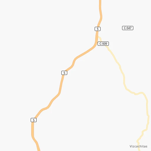
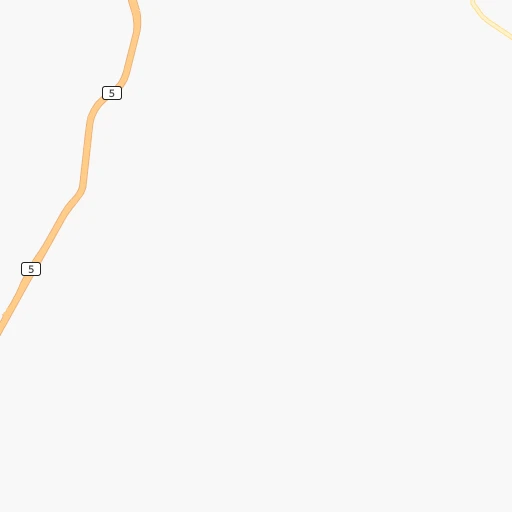
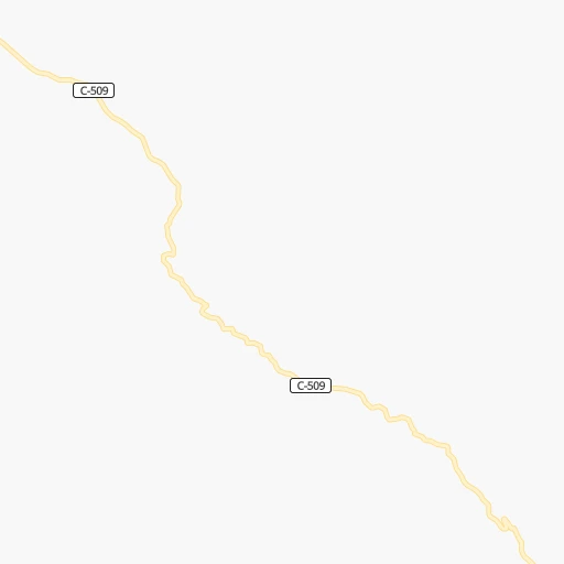
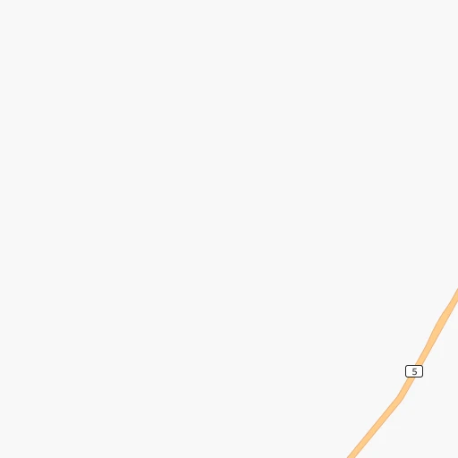
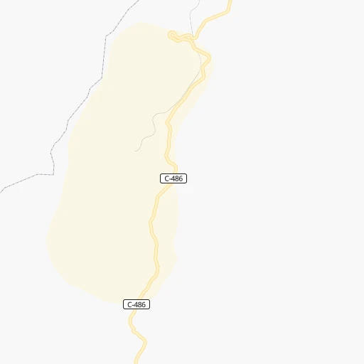
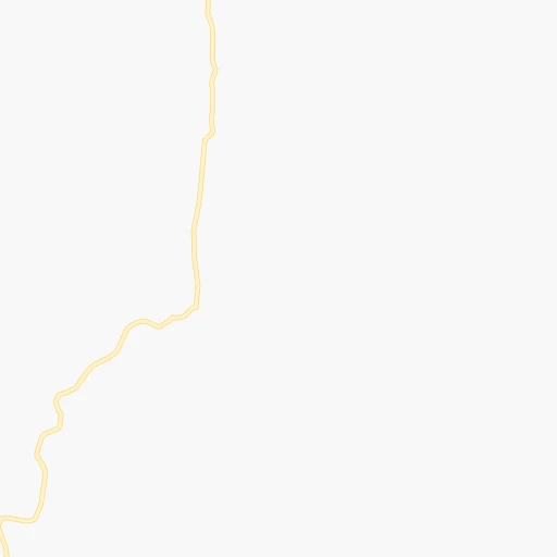
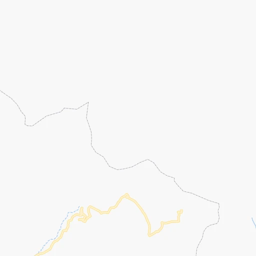
Roadmap (route) to go from Vizcachitas to San Antonio detailed above, you can also see the course layout on the map.
While doing trip Vizcachitas - San Antonio by car, the calculated route ends at a distance , or more straight.
Distance and duration of the route between Vizcachitas and San Antonio
Calculation of distance and route from San Antonio to Vizcachitas :
534.0664.2 km8h48mn
Continue onto Ruta C-509 0h16mn 8.2 kmTurn right onto Ruta 5 Norte 0h2mn 2.8 kmKeep left and take 5 toward La Serena 2h2mn 164.0 kmKeep right and drive toward Caleta San Pedro, La Compañía 4h32mn 345.7 kmContinue onto Ruta 5 Norte 0h11mn 16.5 kmKeep right and take F-62 toward La Calera, Artificio 0h0mn 230 mTurn slight right onto Manuel Rodríguez 0h0mn 222 mTurn left onto Avenida Adrián 0h2mn 1.9 kmTurn right onto Caletera 0h0mn 489 mTurn left onto La Feria 0h0mn 19 mTurn right and take 60 toward Viña del Mar 0h27mn 40.1 kmKeep right and take F-560 toward Villa Alemana 0h0mn 374 mKeep left toward F-560 0h0mn 26 mTurn left onto Marga Marga 0h1mn 778 mContinue onto Ruta F-560 0h2mn 1.9 kmTurn left onto Ruta F-50 0h21mn 24.5 kmTurn left onto Calle de Servicio Ruta 68 0h2mn 2.1 kmTurn right onto Ruta F-852 0h0mn 90 mTurn left and take 68 toward Santiago 0h3mn 5.5 kmKeep right and drive toward Casablanca, Lo Vásquez 0h1mn 509 mKeep right and drive toward Casablanca 0h0mn 47 mKeep right onto Avenida Constitución 0h0mn 361 mKeep left onto Avenida Arturo Prat 0h2mn 1.5 kmTurn right onto Avenida Bernardo O'Higgins 0h1mn 592 mTurn left onto Avenida Diego Portales 0h0mn 91 mTurn sharp right onto Melipilla 0h0mn 171 mTurn slight left onto Ruta F-74-G 0h4mn 4.0 kmKeep right and drive toward Algarrobo 0h4mn 6.0 kmKeep right and take F-962-G, F-930 toward Lagunillas, San Antonio, Orrego Abajo 0h0mn 239 mKeep right and take F-962-G toward Lagunillas, San Antonio 0h0mn 109 mTurn slight right 0h4mn 5.0 kmKeep right and drive toward Lagunillas 0h0mn 58 mTurn slight right onto Avenida Rojas Montt 0h3mn 2.7 kmTurn left onto Avenida Rojas Montt 0h0mn 46 mTurn right onto Ruta F-962-G 0h11mn 12.7 kmKeep right and drive toward Algarrobo 0h1mn 572 mTurn sharp left onto Autopista Litoral Central 0h6mn 7.1 kmKeep right and take G-82 toward San Antonio 0h4mn 4.6 kmKeep left onto Avenida Lauro Barros 0h1mn 682 mTurn right onto Avenida Caupolicán 0h1mn 900 mKeep right onto Avenida Domingo Fernández Concha 0h1mn 402 mTurn left onto José Orella 0h0mn 161 mTurn right onto República 0h0mn 108 mKeep right onto Pudeto 0h0mn 21 mArrive at destination 0h0mn 0 m
Travel from Vizcachitas (Valparaíso) to a selection of major cities.
Distances from Vizcachitas to biggest cities in Atacama
Other major cities in country :
- Valdivia [17], 133,419 inhabitants. 1,242 km
- Quilpue [01], 130,263 inhabitants. 472 km
- Los Angeles [06], 125,430 inhabitants. 972 km
- Punta Arenas [10], 117,430 inhabitants. 2,706 km
- Lo Prado [12], 104,316 inhabitants. 512 km
- Curico [11], 102,438 inhabitants. 685 km
- Villa Alemana [01], 97,320 inhabitants. 471 km
- Coronel [06], 92,940 inhabitants. 938 km
- San Antonio [01], 85,651 inhabitants. 535 km
- Chiguayante [06], 82,545 inhabitants. 924 km
- Ovalle [07], 77,138 inhabitants. 200 km
- Linares [11], 69,535 inhabitants. 783 km
- Quillota [01], 67,779 inhabitants. 452 km
- Penaflor [12], 65,495 inhabitants. 530 km
- Melipilla [12], 63,100 inhabitants. 541 km
- San Felipe [01], 59,294 inhabitants. 435 km
- Los Andes [01], 56,859 inhabitants. 444 km
- Buin [12], 55,441 inhabitants. 544 km
- Talagante [12], 51,764 inhabitants. 537 km
Route from San Antonio to major cities (Chile).
- Distance San Antonio Santiago90 km
- Distance San Antonio Puente Alto96 km
- Distance San Antonio Antofagasta1,113 km
- Distance San Antonio Talcahuano375 km
- Distance San Antonio San Bernardo84 km
- Distance San Antonio Temuco580 km
- Distance San Antonio Iquique1,497 km
- Distance San Antonio Concepcion383 km
- Distance San Antonio Rancagua102 km
- Distance San Antonio La Pintana90 km
- Distance San Antonio Talca204 km
- Distance San Antonio Arica1,688 km
- Distance San Antonio Coquimbo406 km
- Distance San Antonio Puerto Montt884 km
- Distance San Antonio La Serena412 km
- Distance San Antonio Chillan338 km
- Distance San Antonio Calama1,267 km
- Distance San Antonio Osorno789 km
- Distance San Antonio Valdivia708 km
- Distance San Antonio Copiapo704 km
Nearest cities to Vizcachitas :
- Coquimbo, 161,317 inhabitants. 136 km
- La Serena, 154,521 inhabitants. 127 km
- Copiapo, 129,280 inhabitants. 170 km
- Ovalle, 77,138 inhabitants. 200 km
- Vallenar, 44,895 inhabitants. 30 km
- Illapel, 22,816 inhabitants. 313 km
- Diego de Almagro, 18,137 inhabitants. 285 km
- Monte Patria, 13,945 inhabitants. 207 km
- Vicuna, 13,496 inhabitants. 133 km
- Salamanca, 13,265 inhabitants. 327 km
Location Vizcachitas (Atacama) :
| Country flag |  |
| Location | Vizcachitas |
| State | Atacama |
| County | Provincia de Huasco |
| Country | Chile |
| Country code / ISO 2 | CL |
| Latitude | -28.8438000 |
| Longitude | -70.7613200 |
| Altitude | 0 meters |
| Time zone | America/Santiago |
Location San Antonio (Valparaíso) :
| Country flag | |
| Location | San Antonio |
| State | Valparaíso |
| County | San Antonio Province |
| Country | Chile |
| Country code / ISO 2 | CL |
| Latitude | -33.5947300 |
| Longitude | -71.6074600 |
| Altitude | 0 meters |
| Time zone | America/Santiago |
