
How to get from Estación Kilómetro 465 (Santa Fe) to Chacabuco (Buenos Aires)
Calculate route from Estación Kilómetro 465 (Santa Fe, Argentina) to Chacabuco (Buenos Aires, Argentina).
The flight distance (as the crow flies) between Estación Kilómetro 465 and Chacabuco is 335.7 km.
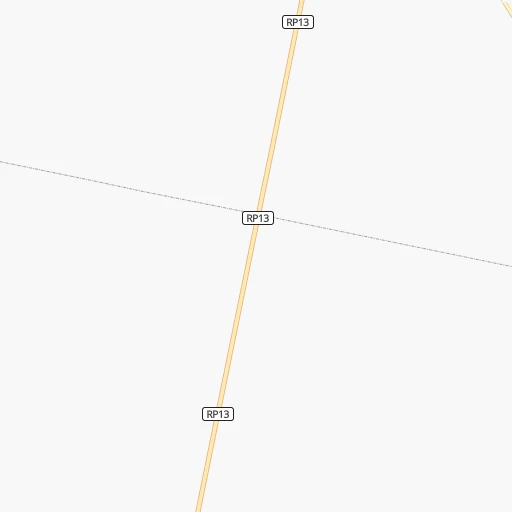
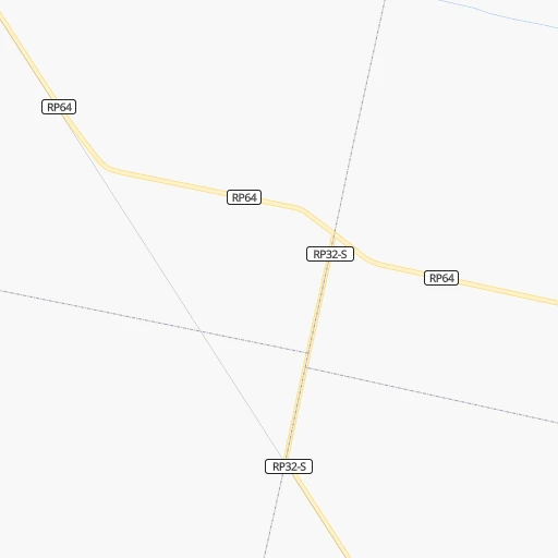
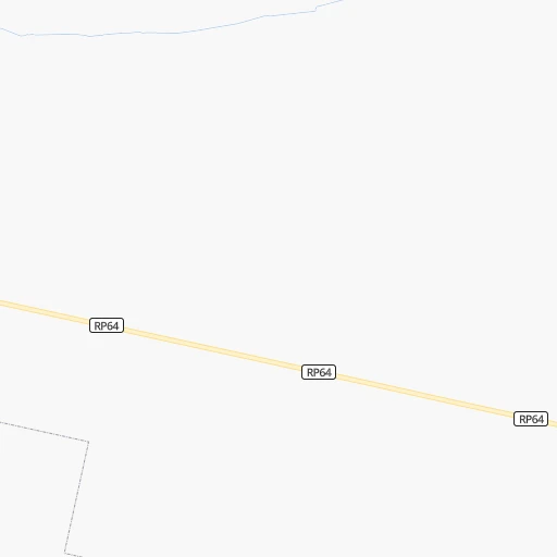
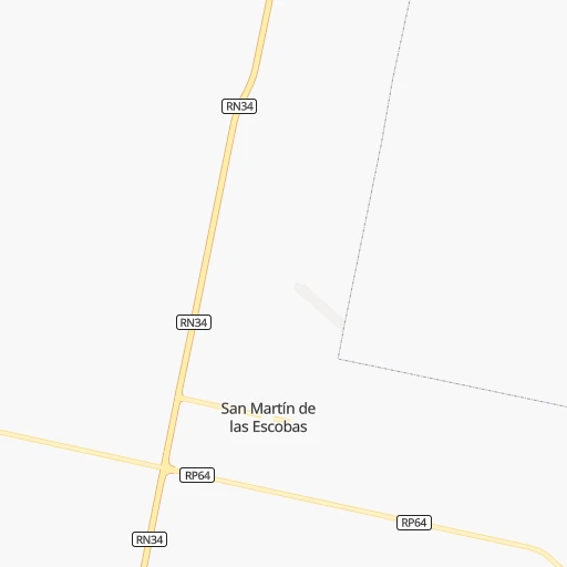
Roadmap (route) to go from Estación Kilómetro 465 to Chacabuco detailed above, you can also see the course layout on the map.
While doing trip Estación Kilómetro 465 - Chacabuco by car, the calculated route ends at a distance , or more straight.
Distance and duration of the route between Estación Kilómetro 465 and Chacabuco
Calculation of distance and route from Chacabuco to Estación Kilómetro 465 :
335.7380.9 km5h57mn
Continue onto Ruta Provincial 64 0h0mn 156 mTurn right 0h0mn 174 mTurn right 0h10mn 5.2 kmTurn left onto Ruta Provincial 13 1h48mn 80.3 kmTurn left onto Ruta Provincial 65 0h2mn 1.6 kmTurn right onto Santa Fe 0h1mn 958 mTurn right onto Uruguay 0h1mn 1.0 kmTurn left onto Roque Sáenz Peña 0h1mn 1.3 kmTurn left onto Ruta Nacional 178 0h29mn 33.3 kmAt roundabout, take exit 2 onto Ruta Nacional 178 1h46mn 51.1 kmKeep right and take RN33 toward Chabás 0h2mn 2.9 kmAt roundabout, take exit 2 onto Ruta Nacional 178 0h29mn 45.6 kmAt roundabout, take exit 2 onto Ruta Nacional 178 0h17mn 27.3 kmAt roundabout, take exit 1 onto Ruta Provincial 50 Gobernador Bartolomé Mitre 0h10mn 16.0 kmTurn left onto Camino Secundario 021-02 0h20mn 10.0 kmTurn slight right onto Camino Secundario 021-02 0h2mn 1.6 kmKeep right onto Ruta Nacional 8 0h1mn 1.0 kmKeep left onto Ruta Provincial 31 Gobernador José Luis Cantilo 0h0mn 24 mTurn left onto Ruta Provincial 31 Gobernador José Luis Cantilo 1h35mn 38.1 kmAt roundabout, take exit 1 onto Ruta Nacional 188 0h10mn 14.5 kmKeep left onto Ruta Provincial 30 0h23mn 37.1 kmTurn slight right onto Ruta Provincial 191 0h2mn 3.1 kmTurn left onto Desvío obra ruta 191 0h1mn 686 mAt roundabout, take exit 1 onto Ruta Nacional 7 0h4mn 3.7 kmTurn left onto Elguea Roman 0h3mn 3.2 kmTurn right onto Avenida Urquiza 0h1mn 627 mTurn left onto Avenida Saavedra 0h1mn 445 mTurn right onto 25 de Mayo 0h0mn 136 mArrive at destination 0h0mn 0 m
Travel from Estación Kilómetro 465 (Buenos Aires) to a selection of major cities.
Distances from Estación Kilómetro 465 to biggest cities in Santa Fe
Other major cities in country :
- San Fernando del Valle de Catamarca [02], 188,812 inhabitants. 537 km
- San Luis [19], 183,982 inhabitants. 458 km
- Berazategui [01], 167,498 inhabitants. 466 km
- La Rioja [12], 162,620 inhabitants. 555 km
- Rio Cuarto [05], 153,757 inhabitants. 282 km
- Balvanera [07], 152,198 inhabitants. 442 km
- Concordia [08], 145,210 inhabitants. 359 km
- Comodoro Rivadavia [04], 140,850 inhabitants. 1,639 km
- Belgrano [07], 138,942 inhabitants. 434 km
- San Nicolas de los Arroyos [01], 127,742 inhabitants. 223 km
- Villa Lugano [07], 114,000 inhabitants. 442 km
- Santa Rosa [11], 111,424 inhabitants. 581 km
- San Rafael [13], 109,163 inhabitants. 685 km
- Tandil [01], 104,325 inhabitants. 658 km
- Villa Mercedes [19], 96,781 inhabitants. 402 km
- San Carlos de Bariloche [16], 95,394 inhabitants. 1,342 km
- Trelew [04], 93,442 inhabitants. 1,309 km
- Villa Maria [05], 92,453 inhabitants. 153 km
- Zarate [01], 88,781 inhabitants. 360 km
- Pergamino [01], 87,652 inhabitants. 256 km
Route from Chacabuco to major cities (Argentina).
- Distance Chacabuco Buenos Aires192 km
- Distance Chacabuco Cordoba499 km
- Distance Chacabuco Rosario189 km
- Distance Chacabuco Mendoza797 km
- Distance Chacabuco San Miguel de Tucuman981 km
- Distance Chacabuco Salta1,196 km
- Distance Chacabuco Santa Fe de la Vera Cruz336 km
- Distance Chacabuco San Juan827 km
- Distance Chacabuco Resistencia812 km
- Distance Chacabuco Santiago del Estero843 km
- Distance Chacabuco Corrientes812 km
- Distance Chacabuco Posadas920 km
- Distance Chacabuco San Salvador de Jujuy1,253 km
- Distance Chacabuco Parana324 km
- Distance Chacabuco Neuquen829 km
- Distance Chacabuco Formosa968 km
- Distance Chacabuco San Fernando del Valle de Catamarca852 km
- Distance Chacabuco San Luis561 km
- Distance Chacabuco La Rioja837 km
- Distance Chacabuco Rio Cuarto396 km
Nearest cities to Estación Kilómetro 465 :
- Cordoba, 1,428,214 inhabitants. 233 km
- Rosario, 1,173,533 inhabitants. 164 km
- Santa Fe de la Vera Cruz, 489,505 inhabitants. 104 km
- Parana, 262,295 inhabitants. 119 km
- Pilar, 226,517 inhabitants. 396 km
- Rio Cuarto, 153,757 inhabitants. 282 km
- San Nicolas de los Arroyos, 127,742 inhabitants. 223 km
- Villa Maria, 92,453 inhabitants. 153 km
- Reconquista, 90,184 inhabitants. 361 km
- Zarate, 88,781 inhabitants. 360 km
- Rafaela, 88,713 inhabitants. 69 km
- Pergamino, 87,652 inhabitants. 256 km
- Junin, 85,007 inhabitants. 317 km
- Lujan, 81,749 inhabitants. 394 km
- Campana, 81,612 inhabitants. 370 km
- Gobernador Galvez, 74,650 inhabitants. 171 km
- Venado Tuerto, 72,340 inhabitants. 215 km
- Goya, 70,245 inhabitants. 383 km
- Villa Carlos Paz, 69,451 inhabitants. 262 km
- Santo Tome, 59,072 inhabitants. 97 km
- San Francisco, 59,062 inhabitants. 53 km
- Rio Tercero, 53,389 inhabitants. 224 km
- Mercedes, 52,949 inhabitants. 383 km
- San Pedro, 47,452 inhabitants. 286 km
- Villa Constitucion, 44,271 inhabitants. 207 km
- Alta Gracia, 40,384 inhabitants. 252 km
- Canada de Gomez, 36,000 inhabitants. 116 km
- Esperanza, 35,885 inhabitants. 90 km
- Bell Ville, 35,105 inhabitants. 124 km
- Chacabuco, 34,587 inhabitants. 336 km
- Gualeguay, 33,120 inhabitants. 274 km
- Granadero Baigorria, 32,427 inhabitants. 152 km
- Villaguay, 32,027 inhabitants. 260 km
- Casilda, 32,002 inhabitants. 147 km
- Capitan Bermudez, 27,060 inhabitants. 149 km
- Jesus Maria, 26,825 inhabitants. 240 km
- Esquina, 26,399 inhabitants. 294 km
- Victoria, 25,139 inhabitants. 176 km
- La Calera, 24,796 inhabitants. 249 km
- La Paz, 24,716 inhabitants. 235 km
- Perez, 24,436 inhabitants. 161 km
- Marcos Juarez, 24,226 inhabitants. 102 km
- Avellaneda, 23,077 inhabitants. 363 km
- San Justo, 21,809 inhabitants. 161 km
- Villa Allende, 21,683 inhabitants. 246 km
- Dean Funes, 20,164 inhabitants. 291 km
- Arroyo Seco, 20,008 inhabitants. 190 km
- Laboulaye, 19,908 inhabitants. 298 km
- Vera, 19,797 inhabitants. 303 km
- Arroyito, 19,577 inhabitants. 129 km
Location Estación Kilómetro 465 (Santa Fe) :
| Country flag |  |
| Location | Estación Kilómetro 465 |
| State | Santa Fe |
| County | Departamento de San Martín |
| Country | Argentina |
| Country code / ISO 2 | AR |
| Latitude | -31.8231500 |
| Longitude | -61.7742900 |
| Altitude | 0 meters |
| Time zone | America/Argentina/Cordoba |
Location Chacabuco (Buenos Aires) :
| Country flag | |
| Location | Chacabuco |
| State | Buenos Aires |
| County | Partido de Chacabuco |
| Country | Argentina |
| Country code / ISO 2 | AR |
| Latitude | -34.6416700 |
| Longitude | -60.4738900 |
| Altitude | 0 meters |
| Time zone | America/Argentina/Buenos_Aires |
