
How to get from Palpalá (Jujuy) to El Carril (Salta)
Calculate route from Palpalá (Jujuy, Argentina) to El Carril (Salta, Argentina).
The flight distance (as the crow flies) between Palpalá and El Carril is 95.2 km.
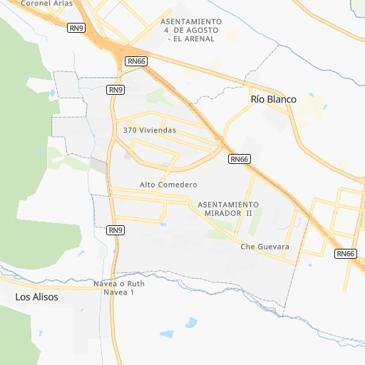
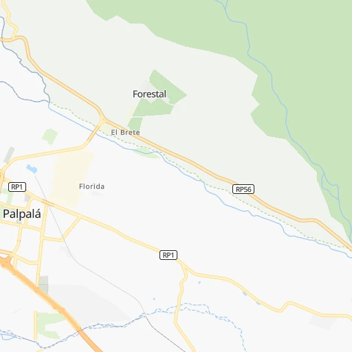
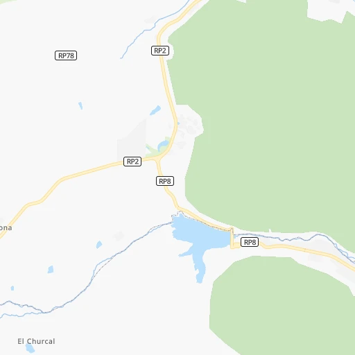
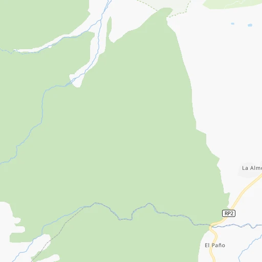
Roadmap (route) to go from Palpalá to El Carril detailed above, you can also see the course layout on the map.
While doing trip Palpalá - El Carril by car, the calculated route ends at a distance , or more straight.
Distance and duration of the route between Palpalá and El Carril
Calculation of distance and route from El Carril to Palpalá :
95.2136.2 km2h44mn
Continue 0h0mn 132 mTurn left onto Avenida Río de la Plata 0h0mn 358 mTurn right onto Juan José Paso 0h1mn 771 mAt roundabout, take exit 2 0h0mn 343 mKeep left 0h10mn 17.3 kmKeep right onto Autopista Presidente Raúl Alfonsín 0h1mn 1.4 kmContinue onto Ruta Nacional 1V66 0h6mn 10.7 kmTurn right onto Ruta Nacional 34 0h4mn 6.7 kmContinue onto Ruta Nacional 34 0h7mn 9.6 kmKeep right onto RP12 0h0mn 37 mTurn right onto Ruta Provincial 12 0h7mn 9.4 kmContinue onto Doctor J. Cornejo 0h0mn 146 mTurn left onto 9 de Julio 0h9mn 7.3 kmTurn right onto Ruta Nacional 9 0h19mn 32.9 kmKeep left onto Avenida Italia 0h2mn 1.7 kmAt roundabout, take exit 2 onto Ecuador 0h0mn 225 mTurn right onto Profesor Vicente Héctor Baffa Trasci 0h0mn 163 mTurn left onto Avenida Italia 0h0mn 311 mTurn slight right onto Avenida José Gervasio Artigas 0h3mn 1.6 kmTurn left onto Avenida Hipólito Yrigoyen 0h4mn 4.3 kmAt roundabout, take exit 3 onto Ruta Nacional 68 0h7mn 7.4 kmAt roundabout, take exit 2 onto Ruta Nacional 68 0h0mn 128 mAt roundabout, take exit 1 onto Ruta Nacional 68 0h22mn 22.8 kmTurn left onto Hernando de Lerma 0h1mn 525 mTurn left 0h0mn 55 mArrive at destination 0h0mn 0 m
Travel from Palpalá (Salta) to a selection of major cities.
Distances from Palpalá to biggest cities in Jujuy
Other major cities in country :
- Formosa [09], 221,383 inhabitants. 740 km
- San Fernando del Valle de Catamarca [02], 188,812 inhabitants. 472 km
- San Luis [19], 183,982 inhabitants. 1,012 km
- Berazategui [01], 167,498 inhabitants. 1,351 km
- La Rioja [12], 162,620 inhabitants. 596 km
- Rio Cuarto [05], 153,757 inhabitants. 991 km
- Balvanera [07], 152,198 inhabitants. 1,328 km
- Concordia [08], 145,210 inhabitants. 1,063 km
- Comodoro Rivadavia [04], 140,850 inhabitants. 2,414 km
- Belgrano [07], 138,942 inhabitants. 1,320 km
- San Nicolas de los Arroyos [01], 127,742 inhabitants. 1,122 km
- Villa Lugano [07], 114,000 inhabitants. 1,331 km
- Santa Rosa [11], 111,424 inhabitants. 1,379 km
- San Rafael [13], 109,163 inhabitants. 1,192 km
- Tandil [01], 104,325 inhabitants. 1,565 km
- Villa Mercedes [19], 96,781 inhabitants. 1,049 km
- San Carlos de Bariloche [16], 95,394 inhabitants. 1,964 km
- Trelew [04], 93,442 inhabitants. 2,114 km
- Villa Maria [05], 92,453 inhabitants. 928 km
- Reconquista [21], 90,184 inhabitants. 776 km
Route from El Carril to major cities (Argentina).
- Distance El Carril Buenos Aires1,264 km
- Distance El Carril Cordoba717 km
- Distance El Carril Rosario995 km
- Distance El Carril Mendoza929 km
- Distance El Carril San Miguel de Tucuman197 km
- Distance El Carril La Plata1,314 km
- Distance El Carril Mar del Plata1,622 km
- Distance El Carril Quilmes1,280 km
- Distance El Carril Santa Fe de la Vera Cruz868 km
- Distance El Carril San Juan779 km
- Distance El Carril Resistencia702 km
- Distance El Carril Santiago del Estero327 km
- Distance El Carril Corrientes716 km
- Distance El Carril Posadas991 km
- Distance El Carril Moron1,255 km
- Distance El Carril San Salvador de Jujuy100 km
- Distance El Carril Bahia Blanca1,549 km
- Distance El Carril Parana886 km
- Distance El Carril Neuquen1,564 km
- Distance El Carril Pilar1,222 km
Nearest cities to Palpalá :
- San Miguel de Tucuman, 781,023 inhabitants. 286 km
- Salta, 512,686 inhabitants. 62 km
- San Salvador de Jujuy, 305,891 inhabitants. 11 km
- San Ramon de la Nueva Oran, 74,059 inhabitants. 154 km
- Tartagal, 60,819 inhabitants. 241 km
- San Pedro, 58,430 inhabitants. 35 km
- Yerba Buena, 50,783 inhabitants. 285 km
- Libertador General San Martin, 49,267 inhabitants. 66 km
- Tafi Viejo, 48,459 inhabitants. 276 km
- Palpala, 48,199 inhabitants. 0 km
- Alderetes, 38,466 inhabitants. 285 km
- Famailla, 30,951 inhabitants. 312 km
- Embarcacion, 23,961 inhabitants. 163 km
- Monteros, 23,771 inhabitants. 325 km
- General Enrique Mosconi, 19,811 inhabitants. 234 km
- Joaquin V. Gonzalez, 19,185 inhabitants. 139 km
- Bella Vista, 15,126 inhabitants. 309 km
- La Quiaca, 14,751 inhabitants. 243 km
- Fraile Pintado, 13,682 inhabitants. 55 km
- Cafayate, 11,785 inhabitants. 216 km
- Humahuaca, 11,369 inhabitants. 118 km
- El Quebrachal, 10,243 inhabitants. 163 km
- El Carril, 9,780 inhabitants. 95 km
- Abra Pampa, 9,425 inhabitants. 178 km
- Las Lajitas, 9,151 inhabitants. 108 km
- Apolinario Saravia, 8,595 inhabitants. 125 km
- Taco Pozo, 8,470 inhabitants. 247 km
- Chicoana, 8,468 inhabitants. 99 km
- El Galpon, 8,357 inhabitants. 137 km
- Yuto, 7,732 inhabitants. 102 km
- Trancas, 6,658 inhabitants. 218 km
- Tilcara, 5,640 inhabitants. 77 km
- Campo Gallo, 5,455 inhabitants. 351 km
- Caimancito, 5,403 inhabitants. 85 km
- Palma Sola, 5,318 inhabitants. 98 km
- Calilegua, 5,174 inhabitants. 70 km
- Ingenio La Esperanza, 5,002 inhabitants. 38 km
- Campo Quijano, 5,000 inhabitants. 84 km
- Santa Clara, 4,883 inhabitants. 56 km
- Tafi del Valle, 4,028 inhabitants. 293 km
- San Antonio de los Cobres, 4,000 inhabitants. 112 km
- Tintina, 3,868 inhabitants. 398 km
- La Mendieta, 3,812 inhabitants. 26 km
- El Aguilar, 3,655 inhabitants. 125 km
Location Palpalá (Jujuy) :
| Country flag |  |
| Location | Palpalá |
| State | Jujuy |
| County | Departamento de Palpalá |
| Country | Argentina |
| Country code / ISO 2 | AR |
| Latitude | -24.2564700 |
| Longitude | -65.2116300 |
| Altitude | 0 meters |
| Time zone | America/Argentina/Jujuy |
Location El Carril (Salta) :
| Country flag | |
| Location | El Carril |
| State | Salta |
| County | Departamento de Chicoana |
| Country | Argentina |
| Country code / ISO 2 | AR |
| Latitude | -25.0741000 |
| Longitude | -65.4917400 |
| Altitude | 0 meters |
| Time zone | America/Argentina/Salta |

