
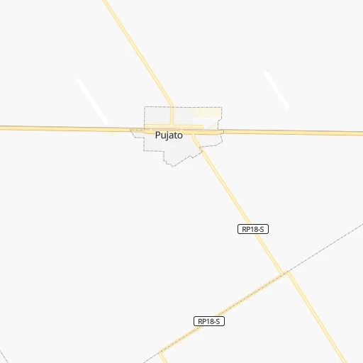
How to get from Estación Pujato (Santa Fe) to Pergamino (Buenos Aires)
Calculate route from Estación Pujato (Santa Fe, Argentina) to Pergamino (Buenos Aires, Argentina).
The flight distance (as the crow flies) between Estación Pujato and Pergamino is 106.0 km.
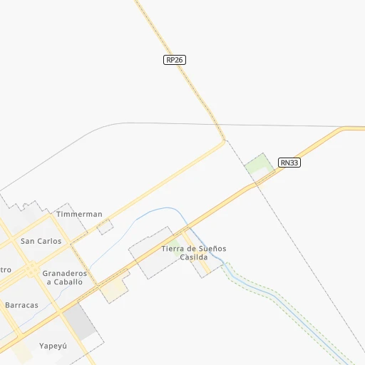
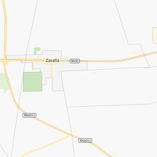
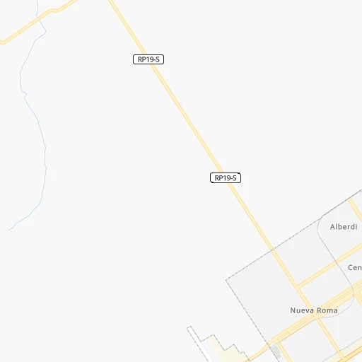
Roadmap (route) to go from Estación Pujato to Pergamino detailed above, you can also see the course layout on the map.
While doing trip Estación Pujato - Pergamino by car, the calculated route ends at a distance , or more straight.
Distance and duration of the route between Estación Pujato and Pergamino
Calculation of distance and route from Pergamino to Estación Pujato :
106.0124.9 km2h54mn
Continue onto Bulevar Raúl Rodríguez 0h7mn 11.7 kmKeep right onto RNA012 and take RNA012 toward Álvarez, Alvear, Pueblo Esther 0h9mn 14.9 kmTurn sharp right onto Ruta Provincial 20-S 0h21mn 16.6 kmTurn right onto Ruta Provincial 26 0h0mn 62 mTurn left onto Bulevar Centenario 0h1mn 1.4 kmTurn left onto Cornelio Saavedra 0h0mn 67 mTurn right onto RP20-s 0h9mn 7.7 kmTurn left onto Carreras 0h1mn 1.0 kmKeep right 0h6mn 3.0 kmTurn right onto Ruta Provincial 18 0h12mn 13.7 kmAt roundabout, take exit 2 onto Ruta Provincial 18 1h42mn 51.1 kmTurn right onto Avenida Juan Manuel de Rosas 0h3mn 2.9 kmTurn left onto Boulevard Alsina 0h1mn 548 mTurn right onto 9 de Julio 0h0mn 141 mArrive at destination 0h0mn 0 m
Travel from Estación Pujato (Buenos Aires) to a selection of major cities.
Distances from Estación Pujato to biggest cities in Santa Fe
Other major cities in country :
- San Fernando del Valle de Catamarca [02], 188,812 inhabitants. 680 km
- San Luis [19], 183,982 inhabitants. 495 km
- Berazategui [01], 167,498 inhabitants. 325 km
- La Rioja [12], 162,620 inhabitants. 684 km
- Rio Cuarto [05], 153,757 inhabitants. 310 km
- Balvanera [07], 152,198 inhabitants. 301 km
- Concordia [08], 145,210 inhabitants. 336 km
- Comodoro Rivadavia [04], 140,850 inhabitants. 1,533 km
- Belgrano [07], 138,942 inhabitants. 294 km
- San Nicolas de los Arroyos [01], 127,742 inhabitants. 84 km
- Villa Lugano [07], 114,000 inhabitants. 300 km
- Santa Rosa [11], 111,424 inhabitants. 499 km
- San Rafael [13], 109,163 inhabitants. 698 km
- Tandil [01], 104,325 inhabitants. 509 km
- Villa Mercedes [19], 96,781 inhabitants. 418 km
- San Carlos de Bariloche [16], 95,394 inhabitants. 1,283 km
- Trelew [04], 93,442 inhabitants. 1,198 km
- Villa Maria [05], 92,453 inhabitants. 218 km
- Zarate [01], 88,781 inhabitants. 222 km
- Pergamino [01], 87,652 inhabitants. 106 km
Route from Pergamino to major cities (Argentina).
- Distance Pergamino Buenos Aires218 km
- Distance Pergamino Cordoba436 km
- Distance Pergamino Rosario105 km
- Distance Pergamino Mendoza775 km
- Distance Pergamino San Miguel de Tucuman904 km
- Distance Pergamino Salta1,117 km
- Distance Pergamino Santa Fe de la Vera Cruz251 km
- Distance Pergamino San Juan790 km
- Distance Pergamino Resistencia732 km
- Distance Pergamino Santiago del Estero764 km
- Distance Pergamino Corrientes733 km
- Distance Pergamino Posadas853 km
- Distance Pergamino San Salvador de Jujuy1,173 km
- Distance Pergamino Parana240 km
- Distance Pergamino Neuquen875 km
- Distance Pergamino Formosa889 km
- Distance Pergamino San Fernando del Valle de Catamarca781 km
- Distance Pergamino San Luis538 km
- Distance Pergamino La Rioja776 km
- Distance Pergamino Rio Cuarto361 km
Nearest cities to Estación Pujato :
- Buenos Aires, 13,076,300 inhabitants. 303 km
- Rosario, 1,173,533 inhabitants. 38 km
- Quilmes, 518,788 inhabitants. 319 km
- Santa Fe de la Vera Cruz, 489,505 inhabitants. 157 km
- Moron, 319,934 inhabitants. 288 km
- Parana, 262,295 inhabitants. 151 km
- Pilar, 226,517 inhabitants. 253 km
- Berazategui, 167,498 inhabitants. 325 km
- Balvanera, 152,198 inhabitants. 301 km
- Belgrano, 138,942 inhabitants. 294 km
- San Nicolas de los Arroyos, 127,742 inhabitants. 84 km
- Villa Lugano, 114,000 inhabitants. 300 km
- Villa Maria, 92,453 inhabitants. 218 km
- Zarate, 88,781 inhabitants. 222 km
- Rafaela, 88,713 inhabitants. 201 km
- Pergamino, 87,652 inhabitants. 106 km
- Junin, 85,007 inhabitants. 175 km
- Lujan, 81,749 inhabitants. 248 km
- Campana, 81,612 inhabitants. 231 km
- Gualeguaychu, 78,676 inhabitants. 235 km
- Barracas, 77,474 inhabitants. 305 km
- Gobernador Galvez, 74,650 inhabitants. 37 km
- Venado Tuerto, 72,340 inhabitants. 119 km
- Concepcion del Uruguay, 67,895 inhabitants. 268 km
- Santo Tome, 59,072 inhabitants. 153 km
- San Francisco, 59,062 inhabitants. 203 km
- General Pico, 57,029 inhabitants. 386 km
- Colegiales, 57,000 inhabitants. 295 km
- Chivilcoy, 54,514 inhabitants. 229 km
- Mercedes, 52,949 inhabitants. 235 km
- Boedo, 48,231 inhabitants. 302 km
- San Pedro, 47,452 inhabitants. 147 km
- San Isidro, 45,190 inhabitants. 283 km
- Villa Constitucion, 44,271 inhabitants. 70 km
- Lincoln, 41,808 inhabitants. 211 km
- Retiro, 38,635 inhabitants. 301 km
- Canada de Gomez, 36,000 inhabitants. 40 km
- Esperanza, 35,885 inhabitants. 175 km
- Bell Ville, 35,105 inhabitants. 161 km
- Nueve de Julio, 34,718 inhabitants. 271 km
- Chacabuco, 34,587 inhabitants. 188 km
- Villa Santa Rita, 34,000 inhabitants. 295 km
- Pontevedra, 33,515 inhabitants. 289 km
- Gualeguay, 33,120 inhabitants. 161 km
- Granadero Baigorria, 32,427 inhabitants. 34 km
- Villaguay, 32,027 inhabitants. 228 km
- Casilda, 32,002 inhabitants. 13 km
- Tigre, 31,106 inhabitants. 276 km
- Adrogue, 28,265 inhabitants. 315 km
- Capitan Bermudez, 27,060 inhabitants. 36 km
Location Estación Pujato (Santa Fe) :
| Country flag |  |
| Location | Estación Pujato |
| State | Santa Fe |
| County | Departamento de San Lorenzo |
| Country | Argentina |
| Country code / ISO 2 | AR |
| Latitude | -33.0166700 |
| Longitude | -61.0333300 |
| Altitude | 0 meters |
| Time zone | America/Argentina/Cordoba |
Location Pergamino (Buenos Aires) :
| Country flag | |
| Location | Pergamino |
| State | Buenos Aires |
| County | Partido de Pergamino |
| Country | Argentina |
| Country code / ISO 2 | AR |
| Latitude | -33.8899500 |
| Longitude | -60.5735700 |
| Altitude | 0 meters |
| Time zone | America/Argentina/Buenos_Aires |
