
How to get from Estación Teodelina (Santa Fe) to Rafaela (Santa Fe)
Calculate route from Estación Teodelina (Santa Fe, Argentina) to Rafaela (Santa Fe, Argentina).
The flight distance (as the crow flies) between Estación Teodelina and Rafaela is 321.3 km.
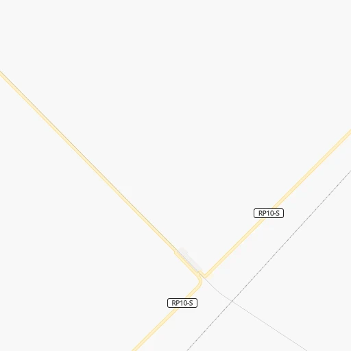
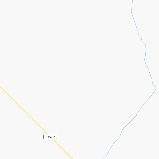
Roadmap (route) to go from Estación Teodelina to Rafaela detailed above, you can also see the course layout on the map.
While doing trip Estación Teodelina - Rafaela by car, the calculated route ends at a distance , or more straight.
Distance and duration of the route between Estación Teodelina and Rafaela
Calculation of distance and route from Rafaela to Estación Teodelina :
321.3378.6 km6h40mn
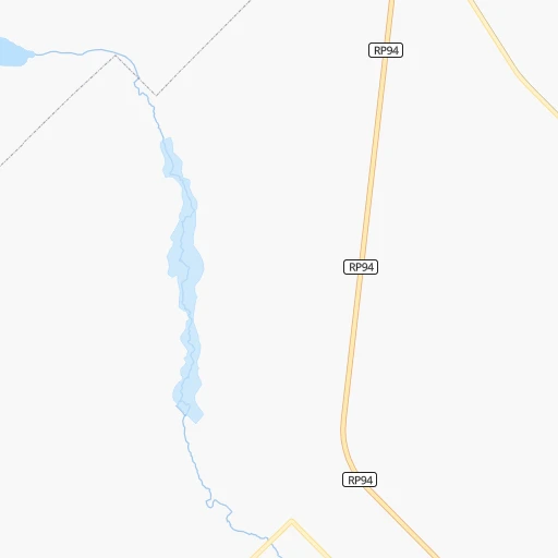
Continue 0h0mn 128 mTurn left onto Ruta 94 0h1mn 310 mTurn right onto RP203-S 0h20mn 10.1 kmContinue onto Ruta Provincial 94 0h5mn 5.5 kmTurn right onto Avenida 51 Sur 0h4mn 4.3 kmAt roundabout, take exit 2 onto Avenida 51 0h2mn 1.6 kmAt roundabout, take exit 1 onto Ruta Provicinal 94 0h0mn 145 mContinue onto Ruta Provincial 94 0h22mn 23.6 kmTurn right onto Ruta Provincial 90 0h4mn 3.6 kmTurn left onto Ruta Provincial 94 0h19mn 19.4 kmKeep right toward RN33 0h0mn 178 mContinue onto Ruta Nacional 33 Ruta del Desierto Doctor Adolfo Alsina 1h55mn 71.2 kmAt roundabout, take exit 3 onto Ruta Nacional 33 0h2mn 2.9 kmKeep right and take RN178 toward Cañada de Gómez, Las Parejas 0h0mn 279 mContinue onto Ruta Nacional 178 1h46mn 51.1 kmAt roundabout, take exit 2 onto Ruta Nacional 178 0h29mn 33.4 kmKeep right 0h1mn 1.3 kmTurn right onto Bulevar Kenmis 0h1mn 923 mTurn right onto Uruguay 0h0mn 68 mTurn left onto Santa Fe 0h1mn 958 mTurn left onto Ruta Provincial 65 0h1mn 1.4 kmKeep right 0h17mn 27.6 kmTurn sharp right 0h5mn 2.4 kmTurn left 0h6mn 2.8 kmTurn right onto RP40-S 0h0mn 30 mTurn left 0h7mn 3.7 kmTurn right 0h4mn 2.2 kmTurn right 0h1mn 398 mTurn left 0h20mn 11.9 kmKeep right 0h1mn 344 mKeep right 0h0mn 118 mTurn slight right onto Avenida Malvinas 0h0mn 177 mTurn left onto Belgrano 0h1mn 777 mTurn right onto Avenida Sarmiento 0h1mn 591 mKeep left onto Storni 0h1mn 399 mTurn left onto Ruta Nacional 34 1h54mn 84.8 kmKeep right onto Avenida Angela de la Casa 0h1mn 837 mAt roundabout, take exit 2 onto Avenida Angela de la Casa 0h2mn 2.2 kmTurn right onto Estanislao del Campo 0h2mn 1.4 kmTurn right onto Hipólito Vieytes 0h0mn 25 mTurn left onto Estanislao del Campo 0h1mn 1.2 kmTurn right 0h0mn 57 mKeep right onto Bulevar Hipólito Yrigoyen 0h1mn 575 mTurn right onto 26 de Enero 0h0mn 70 mTurn left onto 9 de Julio 0h1mn 616 mTurn right onto Santa Fe 0h0mn 206 mTurn left onto Sargento Cabral 0h1mn 513 mTurn right onto Leandro N. Alem 0h0mn 104 mTurn right onto Güemes 0h0mn 160 mArrive at destination 0h0mn 0 m
Travel from Estación Teodelina (Santa Fe) to a selection of major cities.
Distances from Estación Teodelina to biggest cities in Santa Fe
Other major cities in country :
- San Fernando del Valle de Catamarca [02], 188,812 inhabitants. 753 km
- San Luis [19], 183,982 inhabitants. 460 km
- Berazategui [01], 167,498 inhabitants. 307 km
- La Rioja [12], 162,620 inhabitants. 732 km
- Rio Cuarto [05], 153,757 inhabitants. 289 km
- Balvanera [07], 152,198 inhabitants. 288 km
- Concordia [08], 145,210 inhabitants. 445 km
- Comodoro Rivadavia [04], 140,850 inhabitants. 1,401 km
- Belgrano [07], 138,942 inhabitants. 281 km
- San Nicolas de los Arroyos [01], 127,742 inhabitants. 148 km
- Villa Lugano [07], 114,000 inhabitants. 282 km
- Santa Rosa [11], 111,424 inhabitants. 375 km
- San Rafael [13], 109,163 inhabitants. 632 km
- Tandil [01], 104,325 inhabitants. 412 km
- Villa Mercedes [19], 96,781 inhabitants. 371 km
- San Carlos de Bariloche [16], 95,394 inhabitants. 1,164 km
- Trelew [04], 93,442 inhabitants. 1,067 km
- Villa Maria [05], 92,453 inhabitants. 253 km
- Zarate [01], 88,781 inhabitants. 226 km
- Pergamino [01], 87,652 inhabitants. 88 km
Route from Rafaela to major cities (Argentina).
- Distance Rafaela Buenos Aires474 km
- Distance Rafaela Cordoba257 km
- Distance Rafaela Mendoza716 km
- Distance Rafaela San Miguel de Tucuman612 km
- Distance Rafaela La Plata525 km
- Distance Rafaela Mar del Plata833 km
- Distance Rafaela Quilmes490 km
- Distance Rafaela Salta816 km
- Distance Rafaela San Juan671 km
- Distance Rafaela Resistencia487 km
- Distance Rafaela Santiago del Estero469 km
- Distance Rafaela Corrientes492 km
- Distance Rafaela Posadas694 km
- Distance Rafaela Moron464 km
- Distance Rafaela San Salvador de Jujuy870 km
- Distance Rafaela Bahia Blanca835 km
- Distance Rafaela Parana106 km
- Distance Rafaela Neuquen1,045 km
- Distance Rafaela Pilar431 km
- Distance Rafaela Formosa650 km
Nearest cities to Estación Teodelina :
- Cordoba, 1,428,214 inhabitants. 395 km
- Rosario, 1,173,533 inhabitants. 154 km
- Santa Fe de la Vera Cruz, 489,505 inhabitants. 289 km
- Moron, 319,934 inhabitants. 268 km
- Parana, 262,295 inhabitants. 283 km
- Pilar, 226,517 inhabitants. 238 km
- Rio Cuarto, 153,757 inhabitants. 289 km
- San Nicolas de los Arroyos, 127,742 inhabitants. 148 km
- Santa Rosa, 111,424 inhabitants. 375 km
- Villa Maria, 92,453 inhabitants. 253 km
- Zarate, 88,781 inhabitants. 226 km
- Rafaela, 88,713 inhabitants. 322 km
- Pergamino, 87,652 inhabitants. 88 km
- Olavarria, 86,320 inhabitants. 324 km
- Junin, 85,007 inhabitants. 69 km
- Lujan, 81,749 inhabitants. 223 km
- Campana, 81,612 inhabitants. 232 km
- Gualeguaychu, 78,676 inhabitants. 302 km
- Gobernador Galvez, 74,650 inhabitants. 146 km
- Venado Tuerto, 72,340 inhabitants. 63 km
- Santo Tome, 59,072 inhabitants. 284 km
- San Francisco, 59,062 inhabitants. 307 km
- General Pico, 57,029 inhabitants. 268 km
- Chivilcoy, 54,514 inhabitants. 158 km
- Azul, 53,941 inhabitants. 328 km
- Rio Tercero, 53,389 inhabitants. 329 km
- Mercedes, 52,949 inhabitants. 196 km
- San Pedro, 47,452 inhabitants. 175 km
- San Isidro, 45,190 inhabitants. 274 km
- Villa Constitucion, 44,271 inhabitants. 147 km
- Lincoln, 41,808 inhabitants. 81 km
- Alta Gracia, 40,384 inhabitants. 391 km
- Canada de Gomez, 36,000 inhabitants. 148 km
- Esperanza, 35,885 inhabitants. 304 km
- Bell Ville, 35,105 inhabitants. 203 km
- Nueve de Julio, 34,718 inhabitants. 155 km
- Chacabuco, 34,587 inhabitants. 108 km
- Villa Santa Rita, 34,000 inhabitants. 280 km
- Pontevedra, 33,515 inhabitants. 264 km
- Gualeguay, 33,120 inhabitants. 230 km
- Granadero Baigorria, 32,427 inhabitants. 159 km
- Villaguay, 32,027 inhabitants. 341 km
- Casilda, 32,002 inhabitants. 126 km
- Tigre, 31,106 inhabitants. 268 km
- Capitan Bermudez, 27,060 inhabitants. 163 km
- Victoria, 25,139 inhabitants. 209 km
- La Calera, 24,796 inhabitants. 411 km
- Veinticinco de Mayo, 24,668 inhabitants. 187 km
- Perez, 24,436 inhabitants. 143 km
- Marcos Juarez, 24,226 inhabitants. 171 km
Location Estación Teodelina (Santa Fe) :
| Country flag |  |
| Location | Estación Teodelina |
| State | Santa Fe |
| County | General López Department |
| Country | Argentina |
| Country code / ISO 2 | AR |
| Latitude | -34.1421500 |
| Longitude | -61.4764100 |
| Altitude | 0 meters |
| Time zone | America/Argentina/Cordoba |
Location Rafaela (Santa Fe) :
| Country flag | |
| Location | Rafaela |
| State | Santa Fe |
| County | Departamento de Castellanos |
| Country | Argentina |
| Country code / ISO 2 | AR |
| Latitude | -31.2503300 |
| Longitude | -61.4867000 |
| Altitude | 0 meters |
| Time zone | America/Argentina/Cordoba |


