
How to get from Suchumpa (Chiapas) to Cárdenas (Tabasco)
Calculate route from Suchumpa (Chiapas, Mexico) to Cárdenas (Tabasco, Mexico).
The flight distance (as the crow flies) between Suchumpa and Cárdenas is 169.9 km.
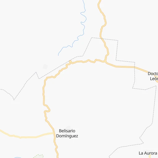
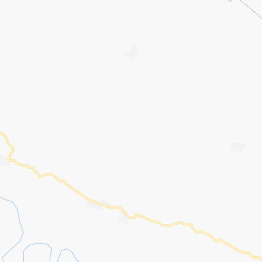
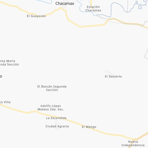
Roadmap (route) to go from Suchumpa to Cárdenas detailed above, you can also see the course layout on the map.
While doing trip Suchumpa - Cárdenas by car, the calculated route ends at a distance , or more straight.
Distance and duration of the route between Suchumpa and Cárdenas
Calculation of distance and route from Cárdenas to Suchumpa :
169.9211.6 km3h49mn
Continue 0h2mn 659 mTurn right 0h3mn 2.8 kmTurn left onto Carretera Palenque-Benemérito de las Américas 0h6mn 7.7 kmKeep right 0h8mn 8.9 kmAt roundabout, take exit 1 onto Calle Carretera Palenque-Ruinas 0h0mn 442 mAt roundabout, take exit 2 onto Calle Carretera Palenque-Ruinas 0h3mn 3.2 kmContinue onto MEX 199 0h1mn 963 mTurn left onto Calzada Lázaro Cárdenas 0h1mn 839 mTurn left onto MEX 199 0h14mn 22.2 kmTurn left onto Carretera Catazajá - Pakalná 0h1mn 774 mTurn sharp right 2h35mn 111.4 kmKeep left onto Boulevard Adolfo Ruíz Cortines 0h0mn 527 mContinue onto Villahermosa-Frontera 0h1mn 820 mKeep right 0h0mn 362 mKeep left 1h33mn 49.4 kmKeep right and drive toward Cardenas 0h0mn 382 mKeep right onto Calle Coronel Gregorio Méndez Magaña 0h0mn 162 mTurn left onto Calle José María Pino Suárez 0h0mn 66 mTurn right onto Cerrada Altamirano 0h0mn 74 mArrive at destination 0h0mn 0 m
Travel from Suchumpa (Tabasco) to a selection of major cities.
Distances from Suchumpa to biggest cities in Chiapas
Other major cities in country :
- Aguascalientes [01], 658,179 inhabitants. 1,197 km
- Acapulco de Juarez [12], 652,136 inhabitants. 854 km
- Coyoacan [09], 628,063 inhabitants. 797 km
- Santiago de Queretaro [22], 626,495 inhabitants. 961 km
- Saltillo [07], 621,250 inhabitants. 1,298 km
- Tlalpan [09], 607,545 inhabitants. 796 km
- Mexicali [02], 597,099 inhabitants. 2,907 km
- Hermosillo [26], 595,811 inhabitants. 2,341 km
- Morelia [16], 592,797 inhabitants. 1,013 km
- Veracruz [30], 568,313 inhabitants. 490 km
- Cancun [23], 542,043 inhabitants. 677 km
- Santa Maria Chimalhuacan [15], 525,389 inhabitants. 778 km
- Torreon [07], 524,066 inhabitants. 1,497 km
- Cuauhtemoc [09], 521,348 inhabitants. 798 km
- Ciudad Lopez Mateos [15], 521,034 inhabitants. 813 km
- Toluca [15], 505,881 inhabitants. 846 km
- Reynosa [28], 498,654 inhabitants. 1,170 km
- Tlaquepaque [14], 493,646 inhabitants. 1,252 km
- Cuautitlan Izcalli [15], 475,179 inhabitants. 812 km
- Victoria de Durango [10], 457,140 inhabitants. 1,518 km
Route from Cárdenas to major cities (Mexico).
- Distance Cárdenas Mexico City627 km
- Distance Cárdenas Iztapalapa618 km
- Distance Cárdenas Ecatepec de Morelos625 km
- Distance Cárdenas Guadalajara1,093 km
- Distance Cárdenas Puebla522 km
- Distance Cárdenas Juarez2,016 km
- Distance Cárdenas Tijuana2,864 km
- Distance Cárdenas Ciudad Nezahualcoyotl615 km
- Distance Cárdenas Gustavo Adolfo Madero627 km
- Distance Cárdenas Monterrey1,115 km
- Distance Cárdenas Leon de los Aldama937 km
- Distance Cárdenas Zapopan1,094 km
- Distance Cárdenas Naucalpan de Juarez640 km
- Distance Cárdenas Chihuahua1,755 km
- Distance Cárdenas Alvaro Obregon633 km
- Distance Cárdenas Guadalupe1,111 km
- Distance Cárdenas Merida515 km
- Distance Cárdenas Tlalnepantla637 km
- Distance Cárdenas San Luis Potosi919 km
- Distance Cárdenas Culiacan1,636 km
Nearest cities to Suchumpa :
- Tuxtla, 481,128 inhabitants. 147 km
- Villahermosa, 362,401 inhabitants. 127 km
- Coatzacoalcos, 230,717 inhabitants. 282 km
- Campeche, 205,212 inhabitants. 308 km
- Tapachula, 197,961 inhabitants. 280 km
- Minatitlan, 150,895 inhabitants. 290 km
- Ciudad del Carmen, 141,308 inhabitants. 139 km
- San Cristobal de las Casas, 128,996 inhabitants. 108 km
- Las Margaritas, 103,403 inhabitants. 121 km
- Cardenas, 85,350 inhabitants. 170 km
- Comitan, 79,944 inhabitants. 131 km
- Comalcalco, 40,992 inhabitants. 170 km
- Las Choapas, 40,304 inhabitants. 240 km
- Palenque, 36,669 inhabitants. 15 km
- Agua Dulce, 36,119 inhabitants. 252 km
- Cintalapa de Figueroa, 33,464 inhabitants. 209 km
- Tonala, 32,855 inhabitants. 246 km
- Tenosique, 32,415 inhabitants. 51 km
- Chiapa de Corzo, 32,182 inhabitants. 141 km
- Ocozocoautla de Espinosa, 31,596 inhabitants. 172 km
- Macuspana, 30,409 inhabitants. 84 km
- Ticul, 30,282 inhabitants. 416 km
- Huixtla, 29,257 inhabitants. 259 km
- Ocosingo, 28,721 inhabitants. 59 km
- Escarcega, 28,159 inhabitants. 182 km
- Huimanguillo, 26,602 inhabitants. 165 km
- Rio de Teapa, 26,500 inhabitants. 114 km
- Teapa, 26,331 inhabitants. 113 km
- Nanchital de Lazaro Cardenas del Rio, 25,982 inhabitants. 276 km
- Champoton, 24,809 inhabitants. 250 km
- Paraiso, 23,830 inhabitants. 178 km
- Arriaga, 22,820 inhabitants. 249 km
- Tecax, 22,806 inhabitants. 416 km
- Frontera, 22,621 inhabitants. 150 km
- Oxkutzkab, 21,508 inhabitants. 416 km
- Allende, 21,398 inhabitants. 277 km
- Berriozabal, 20,952 inhabitants. 161 km
- Cosoleacaque, 20,371 inhabitants. 298 km
- Motozintla, 19,092 inhabitants. 229 km
- Comalapa, 18,704 inhabitants. 195 km
- Emiliano Zapata, 18,608 inhabitants. 40 km
- Cunduacan, 17,904 inhabitants. 154 km
- Peto, 17,607 inhabitants. 437 km
- Mapastepec, 16,082 inhabitants. 244 km
- Fraccionamiento Ciudad Olmeca, 16,074 inhabitants. 293 km
- Jalpa de Mendez, 15,320 inhabitants. 151 km
- Pijijiapan, 15,101 inhabitants. 236 km
- Venustiano Carranza, 15,074 inhabitants. 138 km
- Yajalon, 14,763 inhabitants. 53 km
- Cacahoatan, 14,404 inhabitants. 270 km
Location Suchumpa (Chiapas) :
| Country flag |  |
| Location | Suchumpa |
| State | Chiapas |
| County | Palenque |
| Country | Mexico |
| Country code / ISO 2 | MX |
| Latitude | 17.4000000 |
| Longitude | -91.9000000 |
| Altitude | 0 meters |
| Time zone | America/Merida |
Location Cárdenas (Tabasco) :
| Country flag | |
| Location | Cárdenas |
| State | Tabasco |
| County | Cárdenas |
| Country | Mexico |
| Country code / ISO 2 | MX |
| Latitude | 18.0013500 |
| Longitude | -93.3755900 |
| Altitude | 0 meters |
| Time zone | America/Mexico_City |
