

Home
››
Estación Placa Kilómetro Trescientos Sesenta y Tres
››
Roadmap from Estación Placa Kilómetro Trescientos Sesenta y Tres to Tlalpan
How to get from Estación Placa Kilómetro Trescientos Sesenta y Tres (Chiapas) to Tlalpan (Mexico City)
Calculate route from Estación Placa Kilómetro Trescientos Sesenta y Tres (Chiapas, Mexico) to Tlalpan (Mexico City, Mexico).
The flight distance (as the crow flies) between Estación Placa Kilómetro Trescientos Sesenta y Tres and Tlalpan is 809.4 km.
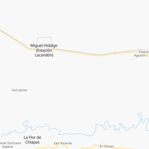
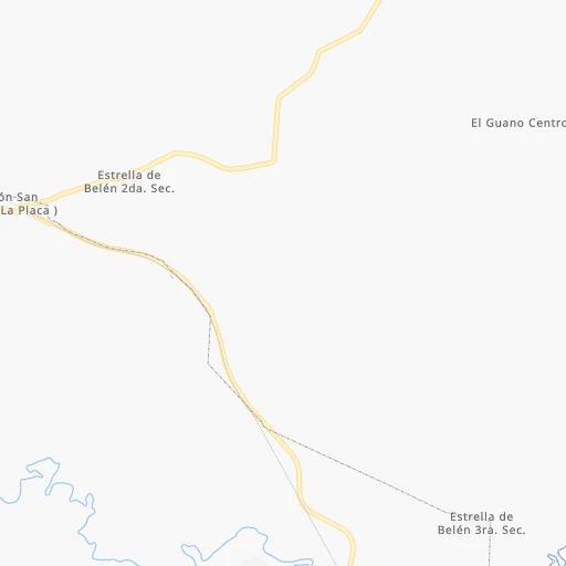
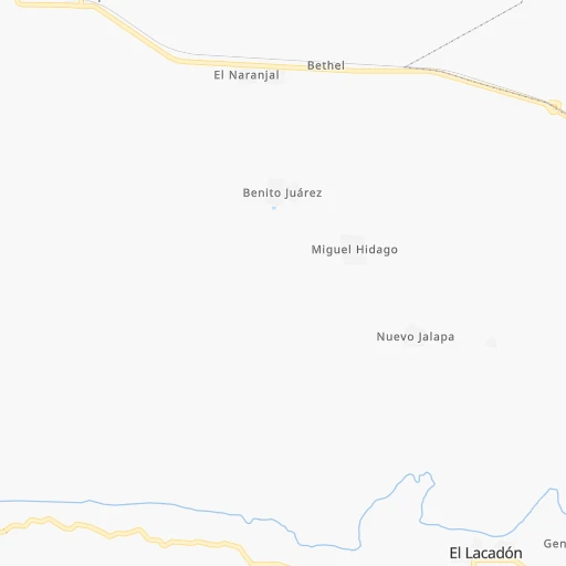
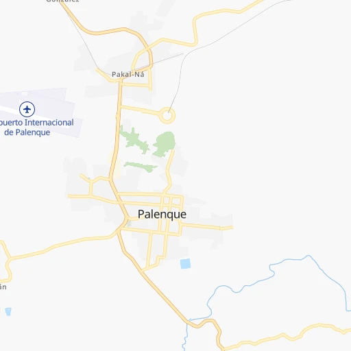
Roadmap (route) to go from Estación Placa Kilómetro Trescientos Sesenta y Tres to Tlalpan detailed above, you can also see the course layout on the map.
While doing trip Estación Placa Kilómetro Trescientos Sesenta y Tres - Tlalpan by car, the calculated route ends at a distance , or more straight.
Distance and duration of the route between Estación Placa Kilómetro Trescientos Sesenta y Tres and Tlalpan
Calculation of distance and route from Tlalpan to Estación Placa Kilómetro Trescientos Sesenta y Tres :
809.4927.9 km11h44mn
Continue 0h5mn 4.2 kmTurn left onto E.C. (Palenque - La Libertad)- Estación Lacandón - La Placa - Aldama - La Libertad 0h27mn 22.1 kmTurn sharp left onto Carretera Estación Palenque-La Libertad 0h6mn 5.5 kmTurn right onto MEX 199 0h14mn 22.2 kmTurn left onto Carretera Catazajá - Pakalná 0h1mn 774 mTurn sharp right 2h35mn 111.4 kmKeep left onto Boulevard Adolfo Ruíz Cortines 0h0mn 527 mContinue onto Villahermosa-Frontera 0h1mn 820 mKeep right 0h0mn 362 mKeep left 1h48mn 67.2 kmKeep left onto Autopista Coatzacoalcos - Villahermosa 1h32mn 53.5 kmKeep left onto MEX 180 0h26mn 30.7 kmKeep right onto Autopista Nuevo Teapa - Cosoleacaque 0h7mn 11.9 kmContinue onto Autopista Nuevo Teapa - Cosoleacaque 3h33mn 250.1 kmKeep left onto México Córdoba and take MEX 150D toward Córdoba, Orizaba, Puebla, México 1h58mn 95.2 kmKeep right 0h0mn 79 mContinue 0h0mn 353 mTurn left 0h2mn 1.8 kmContinue onto Avenida 5 de Febrero 0h0mn 66 mKeep right onto Carretera a Pemex 0h10mn 8.8 kmTurn left 0h1mn 259 mTurn right 0h1mn 282 mTurn sharp left onto Autopista Puebla - Orizaba 1h56mn 92.8 kmContinue onto Autopista Puebla - Orizaba 0h10mn 12.7 kmKeep right onto Autopista Puebla - Orizaba 1h7mn 108.0 kmKeep right and drive toward Texcoco - Los Reyes, Eje 5 0h1mn 1.8 kmKeep right 0h0mn 449 mTurn slight right onto Avenida de las Torres 0h3mn 3.4 kmTurn left onto Calzada Ermita Iztapalapa 0h2mn 2.2 kmContinue onto Calzada Ermita Iztapalapa 0h3mn 3.2 kmKeep right 0h6mn 7.0 kmKeep left onto Anillo Periférico 0h3mn 4.3 kmKeep right 0h0mn 100 mKeep left onto Boulevard Adolfo Ruiz Cortines 0h3mn 2.9 kmTurn left onto Avenida Renato Leduc 0h1mn 727 mTurn right onto Calle Chimalcoyotl 0h0mn 90 mTurn right onto Calle Puente de Piedra 0h0mn 101 mTurn right 0h0mn 40 mArrive at destination 0h0mn 0 m
Travel from Estación Placa Kilómetro Trescientos Sesenta y Tres (Mexico City) to a selection of major cities.
Distances from Estación Placa Kilómetro Trescientos Sesenta y Tres to biggest cities in Chiapas
Other major cities in country :
- Aguascalientes [01], 658,179 inhabitants. 1,209 km
- Acapulco de Juarez [12], 652,136 inhabitants. 874 km
- Coyoacan [09], 628,063 inhabitants. 812 km
- Santiago de Queretaro [22], 626,495 inhabitants. 974 km
- Saltillo [07], 621,250 inhabitants. 1,304 km
- Tlalpan [09], 607,545 inhabitants. 811 km
- Mexicali [02], 597,099 inhabitants. 2,914 km
- Hermosillo [26], 595,811 inhabitants. 2,349 km
- Morelia [16], 592,797 inhabitants. 1,028 km
- Veracruz [30], 568,313 inhabitants. 503 km
- Cancun [23], 542,043 inhabitants. 655 km
- Santa Maria Chimalhuacan [15], 525,389 inhabitants. 793 km
- Torreon [07], 524,066 inhabitants. 1,505 km
- Cuauhtemoc [09], 521,348 inhabitants. 813 km
- Ciudad Lopez Mateos [15], 521,034 inhabitants. 827 km
- Toluca [15], 505,881 inhabitants. 861 km
- Reynosa [28], 498,654 inhabitants. 1,171 km
- Tlaquepaque [14], 493,646 inhabitants. 1,266 km
- Cuautitlan Izcalli [15], 475,179 inhabitants. 826 km
- Victoria de Durango [10], 457,140 inhabitants. 1,528 km
Route from Tlalpan to major cities (Mexico).
- Distance Tlalpan Ecatepec de Morelos36 km
- Distance Tlalpan Guadalajara468 km
- Distance Tlalpan Puebla105 km
- Distance Tlalpan Juarez1,564 km
- Distance Tlalpan Tijuana2,308 km
- Distance Tlalpan Ciudad Nezahualcoyotl19 km
- Distance Tlalpan Monterrey720 km
- Distance Tlalpan Leon de los Aldama332 km
- Distance Tlalpan Zapopan469 km
- Distance Tlalpan Naucalpan de Juarez22 km
- Distance Tlalpan Chihuahua1,255 km
- Distance Tlalpan Guadalupe719 km
- Distance Tlalpan Merida1,015 km
- Distance Tlalpan Tlalnepantla27 km
- Distance Tlalpan San Luis Potosi370 km
- Distance Tlalpan Culiacan1,046 km
- Distance Tlalpan Aguascalientes434 km
- Distance Tlalpan Acapulco de Juarez283 km
- Distance Tlalpan Santiago de Queretaro193 km
- Distance Tlalpan Saltillo708 km
Nearest cities to Estación Placa Kilómetro Trescientos Sesenta y Tres :
- Tuxtla, 481,128 inhabitants. 170 km
- Villahermosa, 362,401 inhabitants. 139 km
- Coatzacoalcos, 230,717 inhabitants. 297 km
- Campeche, 205,212 inhabitants. 289 km
- Tapachula, 197,961 inhabitants. 296 km
- Minatitlan, 150,895 inhabitants. 306 km
- Ciudad del Carmen, 141,308 inhabitants. 127 km
- San Cristobal de las Casas, 128,996 inhabitants. 131 km
- Las Margaritas, 103,403 inhabitants. 136 km
- Cardenas, 85,350 inhabitants. 184 km
- Comitan, 79,944 inhabitants. 147 km
- Comalcalco, 40,992 inhabitants. 180 km
- Las Choapas, 40,304 inhabitants. 256 km
- Palenque, 36,669 inhabitants. 28 km
- Agua Dulce, 36,119 inhabitants. 266 km
- Cintalapa de Figueroa, 33,464 inhabitants. 232 km
- Tonala, 32,855 inhabitants. 268 km
- Tenosique, 32,415 inhabitants. 32 km
- Chiapa de Corzo, 32,182 inhabitants. 164 km
- Ocozocoautla de Espinosa, 31,596 inhabitants. 195 km
- Macuspana, 30,409 inhabitants. 97 km
- Ticul, 30,282 inhabitants. 395 km
- Huixtla, 29,257 inhabitants. 275 km
- Ocosingo, 28,721 inhabitants. 78 km
- Escarcega, 28,159 inhabitants. 160 km
- Huimanguillo, 26,602 inhabitants. 181 km
- Rio de Teapa, 26,500 inhabitants. 129 km
- Teapa, 26,331 inhabitants. 131 km
- Nanchital de Lazaro Cardenas del Rio, 25,982 inhabitants. 292 km
- Champoton, 24,809 inhabitants. 230 km
- Paraiso, 23,830 inhabitants. 187 km
- Arriaga, 22,820 inhabitants. 272 km
- Tecax, 22,806 inhabitants. 395 km
- Frontera, 22,621 inhabitants. 151 km
- Oxkutzkab, 21,508 inhabitants. 395 km
- Allende, 21,398 inhabitants. 292 km
- Berriozabal, 20,952 inhabitants. 183 km
- Cosoleacaque, 20,371 inhabitants. 314 km
- Motozintla, 19,092 inhabitants. 245 km
- Comalapa, 18,704 inhabitants. 211 km
- Emiliano Zapata, 18,608 inhabitants. 26 km
- Cunduacan, 17,904 inhabitants. 166 km
- Peto, 17,607 inhabitants. 415 km
- Mapastepec, 16,082 inhabitants. 263 km
- Fraccionamiento Ciudad Olmeca, 16,074 inhabitants. 309 km
- Jalpa de Mendez, 15,320 inhabitants. 161 km
- Pijijiapan, 15,101 inhabitants. 258 km
- Venustiano Carranza, 15,074 inhabitants. 158 km
- Yajalon, 14,763 inhabitants. 75 km
- Cacahoatan, 14,404 inhabitants. 284 km
Location Estación Placa Kilómetro Trescientos Sesenta y Tres (Chiapas) :
| Country flag |  |
| Location | Estación Placa Kilómetro Trescientos Sesenta y Tres |
| State | Chiapas |
| County | La Libertad |
| Country | Mexico |
| Country code / ISO 2 | MX |
| Latitude | 17.5083300 |
| Longitude | -91.7194400 |
| Altitude | 0 meters |
| Time zone | America/Merida |
Location Tlalpan (Mexico City) :
| Country flag | |
| Location | Tlalpan |
| State | Mexico City |
| County | Tlalpan |
| Country | Mexico |
| Country code / ISO 2 | MX |
| Latitude | 19.2951300 |
| Longitude | -99.1620600 |
| Altitude | 0 meters |
| Time zone | America/Mexico_City |


