

How to get from Estación Guibiche (Oaxaca) to Cintalapa de Figueroa (Chiapas)
Calculate route from Estación Guibiche (Oaxaca, Mexico) to Cintalapa de Figueroa (Chiapas, Mexico).
The flight distance (as the crow flies) between Estación Guibiche and Cintalapa de Figueroa is 160.3 km.
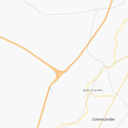
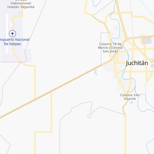
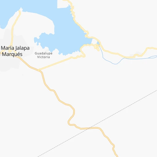
Roadmap (route) to go from Estación Guibiche to Cintalapa de Figueroa detailed above, you can also see the course layout on the map.
While doing trip Estación Guibiche - Cintalapa de Figueroa by car, the calculated route ends at a distance , or more straight.
Distance and duration of the route between Estación Guibiche and Cintalapa de Figueroa
Calculation of distance and route from Cintalapa de Figueroa to Estación Guibiche :
160.3207.3 km3h7mn
Continue onto Calle Guerrero 0h3mn 2.4 kmTurn left 0h10mn 5.2 kmTurn right 0h1mn 916 mTurn sharp left onto MEX 185 0h28mn 30.7 kmKeep right onto MEX 200 1h18mn 91.0 kmTurn sharp left and take MEX 190 toward Tuxtla Gutierrez, Tapanatepec 0h0mn 264 mTurn slight right onto Tapanatepec -La Tijera - Cintalapa 1h3mn 75.5 kmTurn right onto Avenida Benito Juárez 0h1mn 252 mTurn left onto Mezquite 0h0mn 153 mTurn left onto Calle Juan de la Barrera 0h1mn 256 mTurn left 0h0mn 10 mTurn right 0h0mn 60 mTurn right onto Avenida Décima Quinta Sur 0h1mn 536 mTurn left onto Calle Francisco Márquez 0h0mn 39 mTurn right 0h0mn 110 mArrive at destination 0h0mn 0 m
Travel from Estación Guibiche (Chiapas) to a selection of major cities.
Distances from Estación Guibiche to biggest cities in Oaxaca
Other major cities in country :
- Aguascalientes [01], 658,179 inhabitants. 963 km
- Acapulco de Juarez [12], 652,136 inhabitants. 505 km
- Coyoacan [09], 628,063 inhabitants. 533 km
- Santiago de Queretaro [22], 626,495 inhabitants. 719 km
- Saltillo [07], 621,250 inhabitants. 1,171 km
- Tlalpan [09], 607,545 inhabitants. 529 km
- Mexicali [02], 597,099 inhabitants. 2,724 km
- Hermosillo [26], 595,811 inhabitants. 2,146 km
- Morelia [16], 592,797 inhabitants. 732 km
- Veracruz [30], 568,313 inhabitants. 325 km
- Cancun [23], 542,043 inhabitants. 1,027 km
- Santa Maria Chimalhuacan [15], 525,389 inhabitants. 520 km
- Torreon [07], 524,066 inhabitants. 1,328 km
- Cuauhtemoc [09], 521,348 inhabitants. 538 km
- Ciudad Lopez Mateos [15], 521,034 inhabitants. 555 km
- Toluca [15], 505,881 inhabitants. 571 km
- Reynosa [28], 498,654 inhabitants. 1,124 km
- Tlaquepaque [14], 493,646 inhabitants. 976 km
- Tuxtla [05], 481,128 inhabitants. 226 km
- Cuautitlan Izcalli [15], 475,179 inhabitants. 558 km
Route from Cintalapa de Figueroa to major cities (Mexico).
- Distance Cintalapa de Figueroa Mexico City649 km
- Distance Cintalapa de Figueroa Iztapalapa639 km
- Distance Cintalapa de Figueroa Ecatepec de Morelos652 km
- Distance Cintalapa de Figueroa Guadalajara1,112 km
- Distance Cintalapa de Figueroa Puebla543 km
- Distance Cintalapa de Figueroa Juarez2,112 km
- Distance Cintalapa de Figueroa Tijuana2,930 km
- Distance Cintalapa de Figueroa Ciudad Nezahualcoyotl637 km
- Distance Cintalapa de Figueroa Gustavo Adolfo Madero651 km
- Distance Cintalapa de Figueroa Monterrey1,212 km
- Distance Cintalapa de Figueroa Leon de los Aldama973 km
- Distance Cintalapa de Figueroa Zapopan1,114 km
- Distance Cintalapa de Figueroa Naucalpan de Juarez662 km
- Distance Cintalapa de Figueroa Chihuahua1,837 km
- Distance Cintalapa de Figueroa Alvaro Obregon652 km
- Distance Cintalapa de Figueroa Guadalupe1,209 km
- Distance Cintalapa de Figueroa Merida644 km
- Distance Cintalapa de Figueroa Tlalnepantla661 km
- Distance Cintalapa de Figueroa San Luis Potosi975 km
- Distance Cintalapa de Figueroa Culiacan1,683 km
Nearest cities to Estación Guibiche :
- Veracruz, 568,313 inhabitants. 325 km
- Tuxtla, 481,128 inhabitants. 226 km
- Villahermosa, 362,401 inhabitants. 298 km
- Oaxaca, 262,566 inhabitants. 179 km
- Tehuacan, 241,429 inhabitants. 327 km
- Coatzacoalcos, 230,717 inhabitants. 210 km
- Tapachula, 197,961 inhabitants. 357 km
- Minatitlan, 150,895 inhabitants. 190 km
- Cordoba, 134,403 inhabitants. 331 km
- San Cristobal de las Casas, 128,996 inhabitants. 275 km
- Orizaba, 121,348 inhabitants. 339 km
- Tuxtepec, 92,121 inhabitants. 212 km
- Cardenas, 85,350 inhabitants. 263 km
- Amozoc de Mota, 77,106 inhabitants. 421 km
- Salina Cruz, 73,648 inhabitants. 26 km
- Juchitan de Zaragoza, 67,637 inhabitants. 19 km
- Santa Cruz Xoxocotlan, 61,846 inhabitants. 178 km
- San Andres Tuxtla, 55,697 inhabitants. 227 km
- Villa Vicente Guerrero, 52,591 inhabitants. 436 km
- Ciudad de Huajuapan de Leon, 47,844 inhabitants. 316 km
- Acayucan, 46,990 inhabitants. 174 km
- Huamantla, 45,903 inhabitants. 434 km
- Comalcalco, 40,992 inhabitants. 294 km
- Las Choapas, 40,304 inhabitants. 204 km
- Rio Blanco, 39,543 inhabitants. 341 km
- Loma Bonita, 39,166 inhabitants. 203 km
- Santo Domingo Tehuantepec, 37,389 inhabitants. 10 km
- Agua Dulce, 36,119 inhabitants. 223 km
- Ciudad Mendoza, 35,546 inhabitants. 340 km
- Cintalapa de Figueroa, 33,464 inhabitants. 161 km
- Tonala, 32,855 inhabitants. 158 km
- Chiapa de Corzo, 32,182 inhabitants. 235 km
- Ocozocoautla de Espinosa, 31,596 inhabitants. 198 km
- Macuspana, 30,409 inhabitants. 315 km
- Huatusco, 29,387 inhabitants. 358 km
- Huixtla, 29,257 inhabitants. 325 km
- Cosamaloapan, 28,768 inhabitants. 228 km
- Huimanguillo, 26,602 inhabitants. 249 km
- Rio de Teapa, 26,500 inhabitants. 288 km
- Teapa, 26,331 inhabitants. 271 km
- Tecamachalco, 26,227 inhabitants. 385 km
- Nanchital de Lazaro Cardenas del Rio, 25,982 inhabitants. 203 km
- Pinotepa Nacional, 25,669 inhabitants. 305 km
- Tepeaca, 24,956 inhabitants. 404 km
- Contla, 24,569 inhabitants. 453 km
- La Isla, 24,558 inhabitants. 264 km
- Catemaco, 24,257 inhabitants. 224 km
- Ajalpan, 24,218 inhabitants. 310 km
- Paraiso, 23,830 inhabitants. 306 km
- Ixtaczoquitlan, 23,522 inhabitants. 337 km
Location Estación Guibiche (Oaxaca) :
| Country flag |  |
| Location | Estación Guibiche |
| State | Oaxaca |
| County | Santo Domingo Tehuantepec |
| Country | Mexico |
| Country code / ISO 2 | MX |
| Latitude | 16.4061100 |
| Longitude | -95.1952800 |
| Altitude | 0 meters |
| Time zone | America/Mexico_City |
Location Cintalapa de Figueroa (Chiapas) :
| Country flag | |
| Location | Cintalapa de Figueroa |
| State | Chiapas |
| County | Cintalapa |
| Country | Mexico |
| Country code / ISO 2 | MX |
| Latitude | 16.6839300 |
| Longitude | -93.7181400 |
| Altitude | 0 meters |
| Time zone | America/Mexico_City |
