


How to get from Las Lomas (Chiriquí) to Vista Alegre (Panamá Oeste)
Calculate route from Las Lomas (Chiriquí, Panama) to Vista Alegre (Panamá Oeste, Panama).
The flight distance (as the crow flies) between Las Lomas and Vista Alegre is 300.1 km.
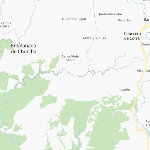
Roadmap (route) to go from Las Lomas to Vista Alegre detailed above, you can also see the course layout on the map.
While doing trip Las Lomas - Vista Alegre by car, the calculated route ends at a distance , or more straight.
Distance and duration of the route between Las Lomas and Vista Alegre
Calculation of distance and route from Vista Alegre to Las Lomas :
300.1410.1 km6h49mn
Continue onto Calle Llano Grande 0h0mn 88 mTurn right 0h0mn 147 mTurn left onto Carretera Interamericana 3h32mn 177.3 kmKeep right 0h1mn 641 mTurn right 3h4mn 216.2 kmKeep right onto Autopista Arraiján - Chorrera 0h9mn 13.5 kmKeep right and drive toward El Tecal 0h0mn 165 mKeep left 0h0mn 25 mTurn left 0h1mn 1.0 kmTurn right onto Carretera Panamericana 0h1mn 827 mTurn right 0h0mn 203 mArrive at destination 0h0mn 0 m
Travel from Las Lomas (Panamá Oeste) to a selection of major cities.
Distances from Las Lomas to biggest cities in Chiriquí
Other major cities in country :
Route from Vista Alegre to major cities (Panama).
Nearest cities to Las Lomas :
- Panama, 408,168 inhabitants. 322 km
- San Miguelito, 321,501 inhabitants. 328 km
- Juan Diaz, 100,636 inhabitants. 330 km
- David, 81,957 inhabitants. 5 km
- Arraijan, 76,815 inhabitants. 306 km
- Colon, 76,643 inhabitants. 292 km
- Las Cumbres, 69,102 inhabitants. 323 km
- La Chorrera, 61,232 inhabitants. 291 km
- Pedregal, 51,641 inhabitants. 333 km
- Santiago de Veraguas, 45,355 inhabitants. 159 km
- Parque Lefevre, 36,997 inhabitants. 326 km
- Chilibre, 33,536 inhabitants. 315 km
- Cativa, 29,607 inhabitants. 300 km
- Rio Abajo, 26,607 inhabitants. 324 km
- Nuevo Belen, 24,056 inhabitants. 337 km
- Ancon, 20,706 inhabitants. 318 km
- Alcalde Diaz, 20,285 inhabitants. 321 km
- El Chorrillo, 18,302 inhabitants. 318 km
- Changuinola, 17,997 inhabitants. 112 km
- La Cabima, 17,975 inhabitants. 323 km
- La Concepcion, 17,698 inhabitants. 27 km
- Pedregal, 17,427 inhabitants. 9 km
- Veracruz, 17,144 inhabitants. 308 km
- Curundu, 16,361 inhabitants. 318 km
- Penonome, 16,250 inhabitants. 224 km
- Sabanitas, 15,577 inhabitants. 301 km
- Nuevo Arraijan, 14,920 inhabitants. 299 km
- Villa Unida, 14,854 inhabitants. 315 km
- San Vicente, 14,109 inhabitants. 316 km
- Puerto Escondido, 12,371 inhabitants. 267 km
- Pocri, 12,304 inhabitants. 203 km
- El Coco, 11,935 inhabitants. 289 km
- San Juan Bautista, 11,798 inhabitants. 224 km
- Puerto Armuelles, 11,743 inhabitants. 55 km
- Las Lomas, 11,726 inhabitants. 0 km
- El Empalme, 11,035 inhabitants. 111 km
- Monagrillo, 10,821 inhabitants. 221 km
- Volcan, 10,286 inhabitants. 47 km
- Llano Bonito, 9,716 inhabitants. 223 km
- Chitre, 8,969 inhabitants. 222 km
- Las Tablas, 8,939 inhabitants. 244 km
- Puerto Pilon, 8,754 inhabitants. 304 km
- Almirante, 8,744 inhabitants. 97 km
- Vista Alegre, 8,673 inhabitants. 301 km
- Aguadulce, 8,501 inhabitants. 204 km
- Altos de San Francisco, 8,189 inhabitants. 290 km
- Canto del Llano, 7,854 inhabitants. 160 km
- Gonzalillo, 7,793 inhabitants. 324 km
- La Pesa, 7,773 inhabitants. 286 km
- Sona, 7,669 inhabitants. 126 km
Location Las Lomas (Chiriquí) :
| Country flag |  |
| Location | Las Lomas |
| State | Chiriquí |
| County | |
| Country | Panama |
| Country code / ISO 2 | PA |
| Latitude | 8.4292700 |
| Longitude | -82.3874300 |
| Altitude | 0 meters |
| Time zone | America/Panama |
Location Vista Alegre (Panamá Oeste) :
| Country flag | |
| Location | Vista Alegre |
| State | Panamá Oeste |
| County | |
| Country | Panama |
| Country code / ISO 2 | PA |
| Latitude | 8.9277200 |
| Longitude | -79.7028000 |
| Altitude | 0 meters |
| Time zone | America/Panama |