
How to get from Estación Puente de Boyacá (Boyacá) to Ocaña (Norte de Santander)
Calculate route from Estación Puente de Boyacá (Boyacá, Colombia) to Ocaña (Norte de Santander, Colombia).
The flight distance (as the crow flies) between Estación Puente de Boyacá and Ocaña is 310.0 km.
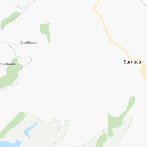
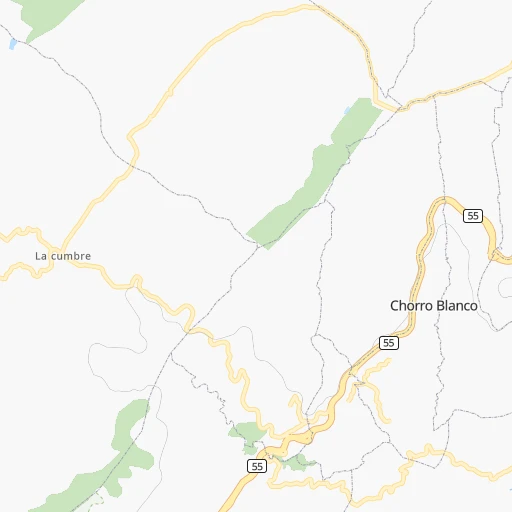
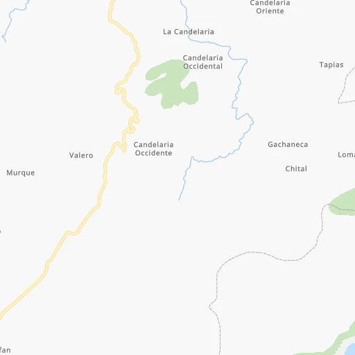
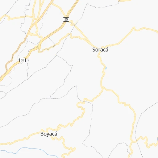
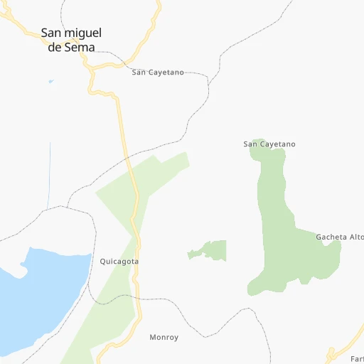
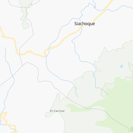
Roadmap (route) to go from Estación Puente de Boyacá to Ocaña detailed above, you can also see the course layout on the map.
While doing trip Estación Puente de Boyacá - Ocaña by car, the calculated route ends at a distance , or more straight.
Distance and duration of the route between Estación Puente de Boyacá and Ocaña
Calculation of distance and route from Ocaña to Estación Puente de Boyacá :
310.0460.4 km8h20mn
Continue 0h1mn 250 mKeep left 0h1mn 334 mTurn slight left 0h1mn 284 mTurn sharp left 0h0mn 172 mTurn slight right 0h0mn 231 mTurn sharp left 0h2mn 811 mKeep left 0h7mn 3.4 kmTurn left 0h0mn 165 mTurn slight right 0h1mn 586 mContinue 0h8mn 8.1 kmTurn left onto Ruta 60 0h19mn 16.6 kmTurn right 0h2mn 2.0 kmTurn sharp left onto Vía Moniquirá - Villa de Leyva 0h12mn 11.6 kmKeep right 0h1mn 580 mContinue 0h1mn 353 mTurn right onto Vía Moniquirá - Villa de Leyva 0h22mn 22.1 kmTurn right 0h1mn 758 mContinue onto 62 0h10mn 9.3 kmContinue onto Carrera 3 0h1mn 1.1 kmTurn left onto Calle 19 0h0mn 65 mTurn right onto Calle 19 0h0mn 114 mTurn right onto Carrera 10 0h0mn 27 mTurn left onto Calle 19 0h10mn 4.9 kmKeep right 0h0mn 43 mTurn slight right 0h0mn 143 mKeep left 0h2mn 979 mTurn right 0h0mn 50 mTurn right onto Vía Vélez Barbosa 0h6mn 7.0 kmKeep right onto Carrera 5 0h0mn 40 mContinue onto Carrera 6 0h1mn 732 mTurn left onto Calle 10 0h0mn 93 mTurn left onto Calle 11 0h4mn 2.0 kmTurn left 0h2mn 910 mKeep left 0h2mn 480 mTurn left onto Matemora - Peña Tambor 0h2mn 1.2 kmTurn right onto Vía Vélez - Landázuri 1h39mn 42.1 kmTurn right onto Calle 9 0h1mn 415 mTurn left onto Vía Hospital 0h0mn 164 mTurn slight right onto Calle 7 0h0mn 155 mTurn sharp right onto Carrera 4 1h30mn 29.8 kmTurn right onto 62 0h28mn 30.6 kmKeep right 0h0mn 200 mTurn slight right onto Troncal del Magdalena Medio - Puerto Araujo - La Rochela 1h19mn 91.7 kmKeep right onto Troncal Magdalena Medio - Peroles - La Gomez 1h45mn 52.7 kmTurn slight right onto Troncal Magdalena Medio - La Gómeza - San Alberto 1h51mn 59.4 kmKeep right onto Vía a la Costa San Martin - Morrison 0h3mn 3.1 kmTurn right 0h4mn 1.8 kmTurn slight left 0h17mn 8.6 kmTurn sharp right 0h8mn 4.2 kmTurn left 1h43mn 21.3 kmTurn right 0h28mn 14.0 kmKeep right 0h3mn 1.3 kmTurn slight left onto Vía Agua de Lavirgen 0h1mn 435 mKeep right 0h0mn 60 mTurn right onto Carrera 10 0h0mn 369 mTurn left onto Calle 5C 0h0mn 46 mKeep right onto Calle 5C 0h0mn 106 mTurn sharp right onto Carrera 11B 0h0mn 130 mTurn left onto Calle 7 0h0mn 102 mTurn left onto Calle 7 0h0mn 151 mContinue onto Calle 7 0h0mn 42 mTurn right onto Carrera 14 0h0mn 37 mArrive at destination 0h0mn 0 m
Travel from Estación Puente de Boyacá (Norte de Santander) to a selection of major cities.
Distances from Estación Puente de Boyacá to biggest cities in Boyacá
Other major cities in country :
- Monteria [12], 272,420 inhabitants. 454 km
- Sincelejo [27], 261,187 inhabitants. 479 km
- Popayan [09], 258,653 inhabitants. 484 km
- Floridablanca [26], 252,267 inhabitants. 184 km
- Palmira [29], 247,986 inhabitants. 380 km
- Buenaventura [29], 240,387 inhabitants. 432 km
- Barrancabermeja [26], 191,403 inhabitants. 185 km
- Dos Quebradas [24], 179,583 inhabitants. 253 km
- Tulua [29], 165,501 inhabitants. 339 km
- Envigado [02], 163,007 inhabitants. 249 km
- Cartago [29], 134,827 inhabitants. 282 km
- Maicao [17], 130,348 inhabitants. 674 km
- Florencia [08], 130,337 inhabitants. 489 km
- Girardot City [33], 130,289 inhabitants. 196 km
- Buga [29], 118,004 inhabitants. 358 km
- Giron [26], 108,466 inhabitants. 183 km
- Malambo [04], 101,534 inhabitants. 619 km
- Magangue [35], 100,313 inhabitants. 445 km
- Facatativa [33], 94,611 inhabitants. 121 km
- Riohacha [17], 92,431 inhabitants. 681 km
Route from Ocaña to major cities (Colombia).
- Distance Ocaña Bogota412 km
- Distance Ocaña Cali639 km
- Distance Ocaña Medellin329 km
- Distance Ocaña Barranquilla342 km
- Distance Ocaña Cartagena338 km
- Distance Ocaña Bucaramanga127 km
- Distance Ocaña Pereira461 km
- Distance Ocaña Santa Marta347 km
- Distance Ocaña Ibague471 km
- Distance Ocaña Bello322 km
- Distance Ocaña Pasto895 km
- Distance Ocaña Manizales426 km
- Distance Ocaña Neiva628 km
- Distance Ocaña Soledad336 km
- Distance Ocaña Villavicencio457 km
- Distance Ocaña Armenia486 km
- Distance Ocaña Soacha418 km
- Distance Ocaña Valledupar248 km
- Distance Ocaña Itaguei337 km
- Distance Ocaña Monteria284 km
Nearest cities to Estación Puente de Boyacá :
- Bogota, 7,674,366 inhabitants. 116 km
- Medellin, 1,999,979 inhabitants. 249 km
- Cucuta, 721,398 inhabitants. 292 km
- Bucaramanga, 571,820 inhabitants. 190 km
- Pereira, 440,118 inhabitants. 257 km
- Ibague, 421,685 inhabitants. 226 km
- Bello, 392,939 inhabitants. 252 km
- Manizales, 357,814 inhabitants. 231 km
- Neiva, 352,855 inhabitants. 346 km
- Villavicencio, 321,717 inhabitants. 147 km
- Armenia, 315,328 inhabitants. 266 km
- Soacha, 313,945 inhabitants. 128 km
- Itaguei, 281,853 inhabitants. 250 km
- Floridablanca, 252,267 inhabitants. 184 km
- Palmira, 247,986 inhabitants. 380 km
- Barrancabermeja, 191,403 inhabitants. 185 km
- Dos Quebradas, 179,583 inhabitants. 253 km
- Tulua, 165,501 inhabitants. 339 km
- Envigado, 163,007 inhabitants. 249 km
- Cartago, 134,827 inhabitants. 282 km
- Girardot City, 130,289 inhabitants. 196 km
- Sogamoso, 126,551 inhabitants. 66 km
- Buga, 118,004 inhabitants. 358 km
- Tunja, 117,479 inhabitants. 14 km
- Giron, 108,466 inhabitants. 183 km
- Facatativa, 94,611 inhabitants. 121 km
- Duitama, 92,040 inhabitants. 64 km
- Zipaquira, 91,235 inhabitants. 76 km
- Fusagasuga, 88,820 inhabitants. 159 km
- Piedecuesta, 86,387 inhabitants. 177 km
- Montelibano, 85,000 inhabitants. 355 km
- Ocana, 83,511 inhabitants. 311 km
- La Dorada, 81,950 inhabitants. 133 km
- Aguachica, 73,360 inhabitants. 319 km
- Arauca, 69,264 inhabitants. 351 km
- Chinchina, 68,512 inhabitants. 243 km
- Caldas, 65,565 inhabitants. 251 km
- Villa del Rosario, 64,951 inhabitants. 287 km
- Chia, 64,569 inhabitants. 93 km
- Rionegro, 62,291 inhabitants. 225 km
- Calarca, 62,170 inhabitants. 262 km
- Yopal, 61,029 inhabitants. 119 km
- Los Patios, 58,661 inhabitants. 286 km
- Caucasia, 58,034 inhabitants. 341 km
- Santa Rosa de Cabal, 57,928 inhabitants. 248 km
- Espinal, 56,213 inhabitants. 214 km
- Funza, 54,421 inhabitants. 116 km
- Puerto Tejada, 53,674 inhabitants. 410 km
- Pamplona, 53,587 inhabitants. 233 km
- Madrid, 50,437 inhabitants. 119 km
Location Estación Puente de Boyacá (Boyacá) :
| Country flag |  |
| Location | Estación Puente de Boyacá |
| State | Boyacá |
| County | Samacá |
| Country | Colombia |
| Country code / ISO 2 | CO |
| Latitude | 5.4500000 |
| Longitude | -73.4666700 |
| Altitude | 0 meters |
| Time zone | America/Bogota |
Location Ocaña (Norte de Santander) :
| Country flag | |
| Location | Ocaña |
| State | Norte de Santander |
| County | Ocaña |
| Country | Colombia |
| Country code / ISO 2 | CO |
| Latitude | 8.2377300 |
| Longitude | -73.3560400 |
| Altitude | 0 meters |
| Time zone | America/Bogota |

