
How to get from Paján (Manabí) to Chone (Manabí)
Calculate route from Paján (Manabí, Ecuador) to Chone (Manabí, Ecuador).
The flight distance (as the crow flies) between Paján and Chone is 102.0 km.
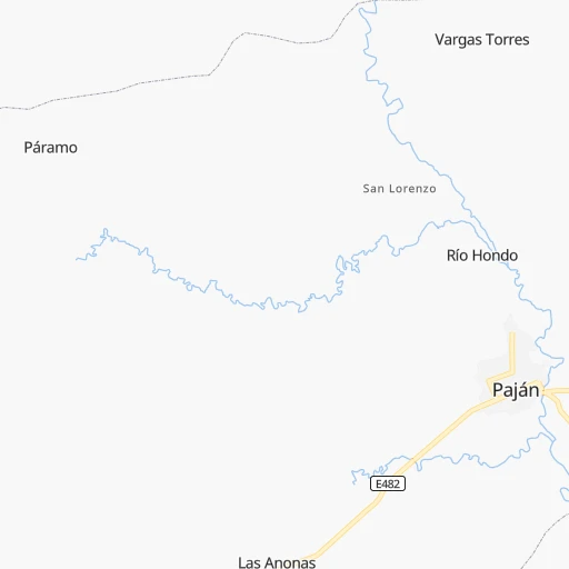
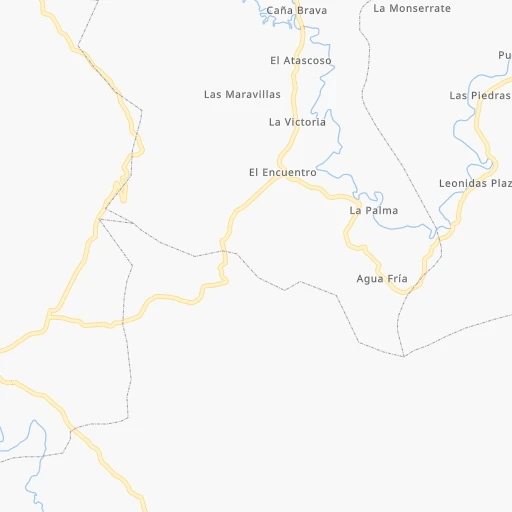
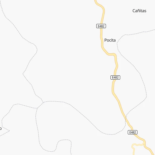
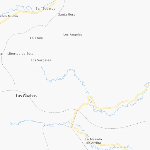
Roadmap (route) to go from Paján to Chone detailed above, you can also see the course layout on the map.
While doing trip Paján - Chone by car, the calculated route ends at a distance , or more straight.
Distance and duration of the route between Paján and Chone
Calculation of distance and route from Chone to Paján :
102.0139.1 km2h19mn
Continue onto Galo Plaza 0h0mn 29 mTurn right onto 7 de Noviembre 0h1mn 265 mTurn left onto 9 de Octubre 0h0mn 465 mTurn right 0h0mn 194 mTurn left 0h8mn 8.3 kmTurn left 0h15mn 15.3 kmTurn right 0h15mn 15.0 kmTurn right 0h18mn 12.6 kmTurn left onto Avenida Luis Alberto Giler 0h15mn 16.4 kmTurn right 0h10mn 8.5 kmTurn right onto Avenida Pedro Gual 0h3mn 4.1 kmTurn sharp left onto E384 0h0mn 35 mTurn right onto E384 0h23mn 25.8 kmTurn left onto Via Junin - Calceta 0h10mn 11.2 kmTurn left onto Salinas 0h0mn 95 mTurn right onto Ricaurte 0h1mn 614 mTurn left onto Juan Montalvo 0h18mn 19.8 kmTurn left onto Sucre 0h0mn 104 mTurn right onto Rocafuerte 0h0mn 184 mArrive at destination 0h0mn 0 m
Travel from Paján (Manabí) to a selection of major cities.
Distances from Paján to biggest cities in Manabí
Other major cities in country :
Route from Chone to major cities (Ecuador).
- Distance Chone Guayaquil168 km
- Distance Chone Quito182 km
- Distance Chone Cuenca273 km
- Distance Chone Santo Domingo de los Colorados114 km
- Distance Chone Machala285 km
- Distance Chone Eloy Alfaro167 km
- Distance Chone Esmeraldas191 km
- Distance Chone Ambato175 km
- Distance Chone Tutamandahostel186 km
- Distance Chone Milagro169 km
- Distance Chone Ibarra249 km
- Distance Chone Riobamba194 km
- Distance Chone Quevedo79 km
- Distance Chone Loja380 km
- Distance Chone Tulcan313 km
- Distance Chone Babahoyo138 km
- Distance Chone La Libertad194 km
- Distance Chone Latacunga167 km
Nearest cities to Paján :
- Guayaquil, 1,952,029 inhabitants. 94 km
- Quito, 1,399,814 inhabitants. 258 km
- Cuenca, 276,964 inhabitants. 218 km
- Santo Domingo de los Colorados, 200,421 inhabitants. 201 km
- Machala, 198,123 inhabitants. 197 km
- Manta, 183,166 inhabitants. 73 km
- Portoviejo, 170,326 inhabitants. 55 km
- Eloy Alfaro, 167,784 inhabitants. 94 km
- Esmeraldas, 165,216 inhabitants. 293 km
- Ambato, 154,369 inhabitants. 205 km
- Tutamandahostel, 140,000 inhabitants. 263 km
- Milagro, 133,508 inhabitants. 113 km
- Ibarra, 132,977 inhabitants. 333 km
- Riobamba, 124,478 inhabitants. 199 km
- Quevedo, 119,436 inhabitants. 122 km
- Loja, 117,796 inhabitants. 304 km
- Tulcan, 86,498 inhabitants. 401 km
- Babahoyo, 76,279 inhabitants. 103 km
- La Libertad, 75,881 inhabitants. 93 km
- Latacunga, 51,717 inhabitants. 213 km
- Velasco Ibarra, 48,754 inhabitants. 105 km
- Ventanas, 46,708 inhabitants. 109 km
- Pasaje, 44,860 inhabitants. 209 km
- Chone, 44,751 inhabitants. 102 km
- Salinas, 43,862 inhabitants. 94 km
- Santa Elena, 42,214 inhabitants. 89 km
- Rosa Zarate, 42,121 inhabitants. 235 km
- Santa Rosa, 41,816 inhabitants. 217 km
- Balzar, 40,115 inhabitants. 62 km
- Huaquillas, 39,757 inhabitants. 215 km
- Bahia de Caraquez, 37,056 inhabitants. 106 km
- La Troncal, 36,353 inhabitants. 155 km
- Jipijapa, 35,901 inhabitants. 28 km
- Azogues, 34,877 inhabitants. 220 km
- Naranjito, 34,206 inhabitants. 127 km
- Vinces, 32,497 inhabitants. 75 km
- Otavalo, 32,330 inhabitants. 313 km
- El Triunfo, 32,282 inhabitants. 67 km
- Naranjal, 32,045 inhabitants. 154 km
- Playas, 30,564 inhabitants. 120 km
- Yaguachi Nuevo, 27,947 inhabitants. 102 km
- Cayambe, 26,582 inhabitants. 310 km
- Machachi, 25,742 inhabitants. 238 km
- Puyo, 24,881 inhabitants. 270 km
- Samborondon, 24,118 inhabitants. 91 km
- Macas, 23,687 inhabitants. 271 km
- Pedro Carbo, 23,372 inhabitants. 37 km
- Guaranda, 22,199 inhabitants. 159 km
- San Lorenzo de Esmeraldas, 20,209 inhabitants. 362 km
- Catamayo, 18,565 inhabitants. 296 km
Location Paján (Manabí) :
| Country flag |  |
| Location | Paján |
| State | Manabí |
| County | Cantón Paján |
| Country | Ecuador |
| Country code / ISO 2 | EC |
| Latitude | -1.5523800 |
| Longitude | -80.4295800 |
| Altitude | 0 meters |
| Time zone | America/Guayaquil |
Location Chone (Manabí) :
| Country flag | |
| Location | Chone |
| State | Manabí |
| County | Cantón Chone |
| Country | Ecuador |
| Country code / ISO 2 | EC |
| Latitude | -0.6981900 |
| Longitude | -80.0936100 |
| Altitude | 0 meters |
| Time zone | America/Guayaquil |