
How to get from Estacion Ajusco (Mexico City) to San Antonio Tecómitl (Mexico City)
Calculate route from Estacion Ajusco (Mexico City, Mexico) to San Antonio Tecómitl (Mexico City, Mexico).
The flight distance (as the crow flies) between Estacion Ajusco and San Antonio Tecómitl is 21.2 km.
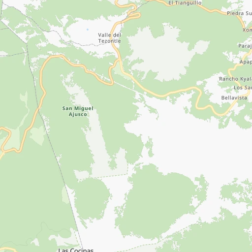
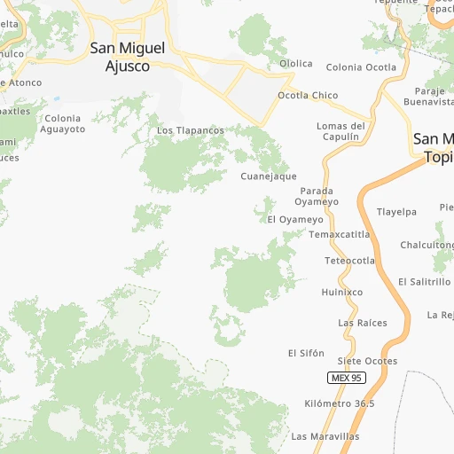
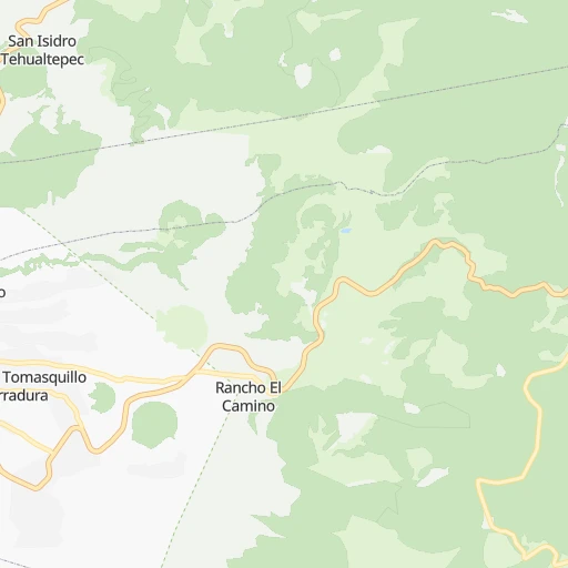
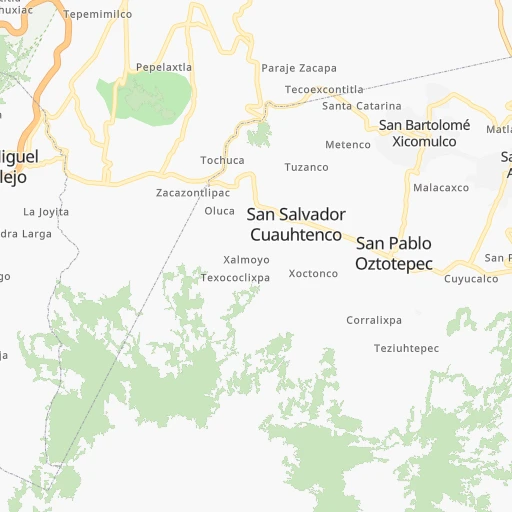
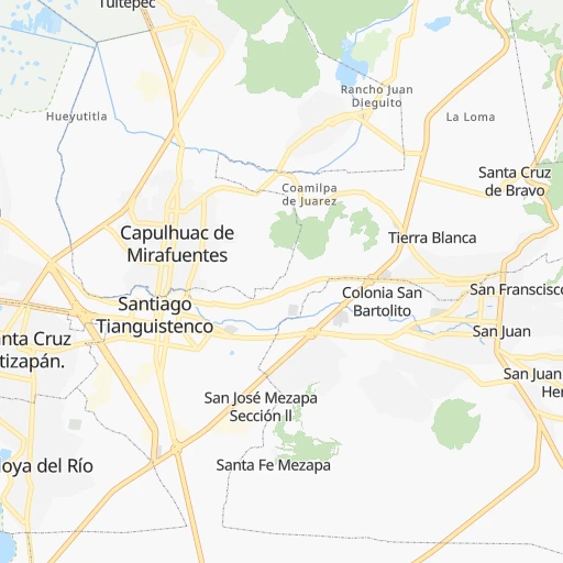
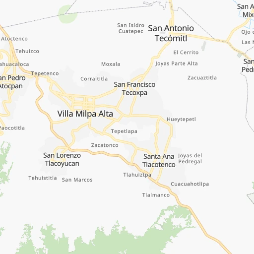
Roadmap (route) to go from Estacion Ajusco to San Antonio Tecómitl detailed above, you can also see the course layout on the map.
While doing trip Estacion Ajusco - San Antonio Tecómitl by car, the calculated route ends at a distance , or more straight.
Distance and duration of the route between Estacion Ajusco and San Antonio Tecómitl
Calculation of distance and route from San Antonio Tecómitl to Estacion Ajusco :
21.227.5 km1h31mn
Continue onto Calle Ferrocarril de Cuernavaca 0h3mn 2.5 kmTurn right onto Avenida Anacatitla 0h2mn 2.0 kmContinue 0h1mn 173 mTurn sharp left onto Calle Ahuacatitla 0h0mn 239 mTurn slight right onto Calle Mirador Chapultepec 0h0mn 164 mTurn left onto Calle Mirador Chapultepec 0h1mn 297 mTurn right onto Avenida Cruz Blanca 0h1mn 796 mKeep right 0h1mn 1.3 kmTurn right onto Prolongación 16 de Septiembre 0h0mn 374 mTurn left onto Prolongación 16 de Septiembre 0h0mn 14 mTurn left onto Prolongación 16 de Septiembre 0h0mn 33 mTurn right onto Camino a Topilejo 0h0mn 166 mTurn left onto Camino a Topilejo 0h0mn 72 mTurn right onto Calle Hidalgo 0h0mn 201 mTurn slight right onto Calle 16 de Septiembre 0h3mn 2.8 kmKeep right 0h0mn 17 mTurn right onto Avenida José María Morelos 0h6mn 5.8 kmTurn left onto Calle Real a San Pedro 0h2mn 1.8 kmTurn right onto Calle Aquiles Serdán 0h0mn 78 mTurn left onto Calle Atzayacatl 0h0mn 235 mTurn right onto Calle Venustiano Carranza 0h0mn 316 mTurn left onto Calle Cuauhtémoc 0h0mn 173 mTurn right onto Calle Miguel Hidalgo 0h1mn 1.4 kmKeep left onto Avenida Puebla Norte 0h1mn 993 mTurn left onto Avenida Nuevo León 0h5mn 5.0 kmTurn right onto Calle 5 de Mayo 0h1mn 562 mTurn left onto Calle Barranca Seca 0h0mn 27 mContinue onto Calle Barranca Seca 0h0mn 81 mArrive at destination 0h0mn 0 m
Travel from Estacion Ajusco (Mexico City) to a selection of major cities.
Distances from Estacion Ajusco to biggest cities in Mexico City
- San Antonio Tecomitl,24,397 inhabitants.21 km
- San Lorenzo Acopilco,23,037 inhabitants.19 km
Other major cities in country :
- Mexicali [02], 597,099 inhabitants. 2,204 km
- Hermosillo [26], 595,811 inhabitants. 1,624 km
- Morelia [16], 592,797 inhabitants. 216 km
- Veracruz [30], 568,313 inhabitants. 320 km
- Cancun [23], 542,043 inhabitants. 1,308 km
- Santa Maria Chimalhuacan [15], 525,389 inhabitants. 34 km
- Torreon [07], 524,066 inhabitants. 828 km
- Ciudad Lopez Mateos [15], 521,034 inhabitants. 39 km
- Toluca [15], 505,881 inhabitants. 49 km
- Reynosa [28], 498,654 inhabitants. 770 km
- Tlaquepaque [14], 493,646 inhabitants. 458 km
- Tuxtla [05], 481,128 inhabitants. 699 km
- Cuautitlan Izcalli [15], 475,179 inhabitants. 48 km
- Victoria de Durango [10], 457,140 inhabitants. 779 km
- Heroica Matamoros [28], 449,815 inhabitants. 762 km
- San Nicolas de los Garza [19], 443,273 inhabitants. 736 km
- Xalapa de Enriquez [30], 425,148 inhabitants. 241 km
- Tonala [14], 401,509 inhabitants. 451 km
- Xico [15], 365,777 inhabitants. 26 km
- Villahermosa [27], 362,401 inhabitants. 674 km
Route from San Antonio Tecómitl to major cities (Mexico).
- Distance San Antonio Tecómitl Ecatepec de Morelos44 km
- Distance San Antonio Tecómitl Guadalajara488 km
- Distance San Antonio Tecómitl Puebla85 km
- Distance San Antonio Tecómitl Juarez1,580 km
- Distance San Antonio Tecómitl Tijuana2,327 km
- Distance San Antonio Tecómitl Ciudad Nezahualcoyotl21 km
- Distance San Antonio Tecómitl Monterrey732 km
- Distance San Antonio Tecómitl Leon de los Aldama352 km
- Distance San Antonio Tecómitl Zapopan490 km
- Distance San Antonio Tecómitl Naucalpan de Juarez39 km
- Distance San Antonio Tecómitl Chihuahua1,272 km
- Distance San Antonio Tecómitl Guadalupe731 km
- Distance San Antonio Tecómitl Merida999 km
- Distance San Antonio Tecómitl Tlalnepantla42 km
- Distance San Antonio Tecómitl San Luis Potosi387 km
- Distance San Antonio Tecómitl Culiacan1,066 km
- Distance San Antonio Tecómitl Aguascalientes454 km
- Distance San Antonio Tecómitl Acapulco de Juarez281 km
- Distance San Antonio Tecómitl Santiago de Queretaro212 km
- Distance San Antonio Tecómitl Saltillo721 km
Nearest cities to Estacion Ajusco :
- Mexico City, 12,294,193 inhabitants. 25 km
- Iztapalapa, 1,820,888 inhabitants. 21 km
- Ecatepec de Morelos, 1,806,226 inhabitants. 46 km
- Puebla, 1,590,256 inhabitants. 106 km
- Ciudad Nezahualcoyotl, 1,232,220 inhabitants. 28 km
- Gustavo Adolfo Madero, 1,193,161 inhabitants. 32 km
- Leon de los Aldama, 1,114,626 inhabitants. 336 km
- Naucalpan de Juarez, 846,185 inhabitants. 30 km
- Alvaro Obregon, 727,034 inhabitants. 16 km
- Tlalnepantla, 715,767 inhabitants. 36 km
- San Luis Potosi, 677,704 inhabitants. 376 km
- Acapulco de Juarez, 652,136 inhabitants. 274 km
- Coyoacan, 628,063 inhabitants. 15 km
- Santiago de Queretaro, 626,495 inhabitants. 198 km
- Tlalpan, 607,545 inhabitants. 10 km
- Morelia, 592,797 inhabitants. 216 km
- Santa Maria Chimalhuacan, 525,389 inhabitants. 34 km
- Cuauhtemoc, 521,348 inhabitants. 26 km
- Ciudad Lopez Mateos, 521,034 inhabitants. 39 km
- Toluca, 505,881 inhabitants. 49 km
- Cuautitlan Izcalli, 475,179 inhabitants. 48 km
- Venustiano Carranza, 447,459 inhabitants. 27 km
- Azcapotzalco, 425,298 inhabitants. 30 km
- Xalapa de Enriquez, 425,148 inhabitants. 241 km
- Xochimilco, 404,458 inhabitants. 10 km
- Iztacalco, 384,326 inhabitants. 22 km
- Xico, 365,777 inhabitants. 26 km
- Benito Juarez, 355,017 inhabitants. 21 km
- Miguel Hidalgo, 353,534 inhabitants. 25 km
- Ixtapaluca, 351,001 inhabitants. 34 km
- Tlahuac, 344,106 inhabitants. 21 km
- Cuernavaca, 343,769 inhabitants. 32 km
- Irapuato, 339,554 inhabitants. 279 km
- Pachuca de Soto, 319,581 inhabitants. 111 km
- Coacalco, 313,405 inhabitants. 47 km
- Celaya, 305,901 inhabitants. 224 km
- Oaxaca, 262,566 inhabitants. 354 km
- Los Reyes Acaquilpan, 251,168 inhabitants. 28 km
- Colonia del Valle, 250,000 inhabitants. 19 km
- Nicolas Romero, 245,383 inhabitants. 49 km
- Ojo de Agua, 242,272 inhabitants. 55 km
- Tehuacan, 241,429 inhabitants. 206 km
- Uruapan, 237,308 inhabitants. 302 km
- Magdalena Contreras, 228,927 inhabitants. 13 km
- Buenavista, 206,081 inhabitants. 44 km
- Soledad de Graciano Sanchez, 194,006 inhabitants. 378 km
- Ciudad Valles, 176,935 inhabitants. 310 km
- Poza Rica de Hidalgo, 174,526 inhabitants. 233 km
- Delegacion Cuajimalpa de Morelos, 173,625 inhabitants. 20 km
- San Pablo de las Salinas, 173,557 inhabitants. 51 km
Location Estacion Ajusco (Mexico City) :
| Country flag |  |
| Location | Estacion Ajusco |
| State | Mexico City |
| County | Tlalpan |
| Country | Mexico |
| Country code / ISO 2 | MX |
| Latitude | 19.2133000 |
| Longitude | -99.1896400 |
| Altitude | 0 meters |
| Time zone | America/Mexico_City |
Location San Antonio Tecómitl (Mexico City) :
| Country flag | |
| Location | San Antonio Tecómitl |
| State | Mexico City |
| County | Milpa Alta |
| Country | Mexico |
| Country code / ISO 2 | MX |
| Latitude | 19.2177800 |
| Longitude | -98.9880600 |
| Altitude | 0 meters |
| Time zone | America/Mexico_City |

