

How to get from Apipilulco (Guerrero) to Tlapa de Comonfort (Guerrero)
Calculate route from Apipilulco (Guerrero, Mexico) to Tlapa de Comonfort (Guerrero, Mexico).
The flight distance (as the crow flies) between Apipilulco and Tlapa de Comonfort is 136.3 km.
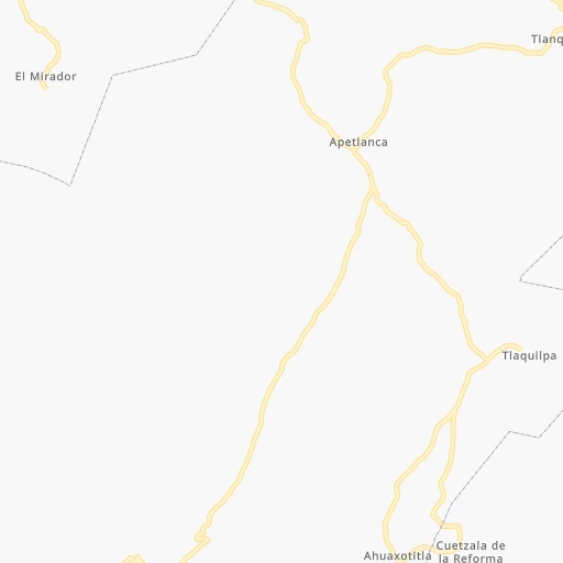
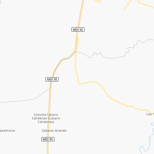
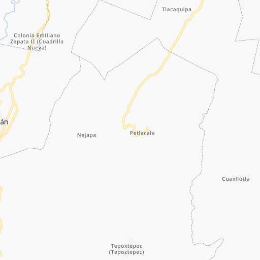
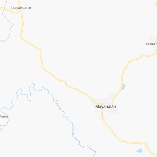
Roadmap (route) to go from Apipilulco to Tlapa de Comonfort detailed above, you can also see the course layout on the map.
While doing trip Apipilulco - Tlapa de Comonfort by car, the calculated route ends at a distance , or more straight.
Distance and duration of the route between Apipilulco and Tlapa de Comonfort
Calculation of distance and route from Tlapa de Comonfort to Apipilulco :
136.3231.9 km4h6mn
Continue onto Calle Vicente Guerrero 0h0mn 22 mTurn left 0h1mn 656 mTurn slight right onto Calle El Sifón 0h16mn 15.3 kmTurn right 0h9mn 7.6 kmTurn right onto Calle Periférico Sur 0h5mn 4.1 kmTurn right 0h1mn 833 mKeep right 0h3mn 2.1 kmKeep left onto Calle Caritino Maldonado 0h0mn 34 mContinue onto Calle Caritino Maldonado 0h0mn 162 mContinue onto Calle Caritino Maldonado 0h2mn 1.1 kmTurn sharp right 0h7mn 3.5 kmTurn sharp left onto Carretera Atenango del Río 1h42mn 48.4 kmTurn left onto Calle Heroína de Tixtla 0h0mn 178 mTurn right 0h0mn 20 mTurn left onto Carretera Atenango del Río 0h7mn 7.8 kmTurn left onto Avenida Río Frío 0h14mn 15.0 kmTurn right 1h46mn 46.2 kmTurn left 0h2mn 2.0 kmTurn right 0h3mn 3.5 kmTurn left 0h11mn 11.3 kmTurn slight right onto Carretera Olinalá - Ixcamilpa 0h10mn 11.5 kmKeep right onto Calle Reforma 0h1mn 922 mTurn left onto Calle Reforma 0h1mn 332 mTurn slight right onto Calle Reforma 0h0mn 68 mTurn left onto Calle Independencia 0h0mn 37 mTurn right onto Calle Josefa Ortiz de Domínguez 0h1mn 295 mTurn right onto Calle Heróico Colegio Militar Norte 0h1mn 379 mTurn slight right onto Calle Plutarco Elías Calles 0h0mn 73 mTurn left onto Calle Luis Donaldo Colosio 0h1mn 298 mTurn right onto Calle Tlapa-Olinalá 0h21mn 22.8 kmKeep left 0h8mn 3.8 kmKeep right 0h1mn 508 mTurn right 0h0mn 182 mTurn slight right 0h1mn 516 mTurn slight right 0h0mn 216 mContinue 0h0mn 33 mKeep right 0h1mn 281 mTurn slight right 0h10mn 6.6 kmTurn left 0h5mn 4.0 kmTurn left 0h5mn 2.5 kmKeep left 0h6mn 3.0 kmTurn slight right 0h0mn 12 mTurn left 0h1mn 316 mTurn slight right 0h0mn 304 mTurn sharp right 0h0mn 70 mTurn left 0h0mn 228 mTurn right onto TLAPA: 18 de Marzo, Caltitlan, Tlapa, Gro., México 0h1mn 372 mTurn sharp left onto Avenida Heróico Colegio Militar 0h2mn 2.4 kmKeep right onto Calle Chula Vista 0h0mn 39 mTurn right onto Calle Primera de San Francisco 0h0mn 36 mArrive at destination 0h0mn 0 m
Travel from Apipilulco (Guerrero) to a selection of major cities.
Distances from Apipilulco to biggest cities in Guerrero
Other major cities in country :
- Aguascalientes [01], 658,179 inhabitants. 493 km
- Coyoacan [09], 628,063 inhabitants. 139 km
- Santiago de Queretaro [22], 626,495 inhabitants. 277 km
- Saltillo [07], 621,250 inhabitants. 817 km
- Tlalpan [09], 607,545 inhabitants. 134 km
- Mexicali [02], 597,099 inhabitants. 2,253 km
- Hermosillo [26], 595,811 inhabitants. 1,672 km
- Morelia [16], 592,797 inhabitants. 231 km
- Veracruz [30], 568,313 inhabitants. 388 km
- Cancun [23], 542,043 inhabitants. 1,384 km
- Santa Maria Chimalhuacan [15], 525,389 inhabitants. 157 km
- Torreon [07], 524,066 inhabitants. 905 km
- Cuauhtemoc [09], 521,348 inhabitants. 150 km
- Ciudad Lopez Mateos [15], 521,034 inhabitants. 158 km
- Toluca [15], 505,881 inhabitants. 122 km
- Reynosa [28], 498,654 inhabitants. 890 km
- Tlaquepaque [14], 493,646 inhabitants. 468 km
- Tuxtla [05], 481,128 inhabitants. 714 km
- Cuautitlan Izcalli [15], 475,179 inhabitants. 169 km
- Victoria de Durango [10], 457,140 inhabitants. 830 km
Route from Tlapa de Comonfort to major cities (Mexico).
- Distance Tlapa de Comonfort Mexico City218 km
- Distance Tlapa de Comonfort Iztapalapa208 km
- Distance Tlapa de Comonfort Ecatepec de Morelos235 km
- Distance Tlapa de Comonfort Guadalajara614 km
- Distance Tlapa de Comonfort Puebla171 km
- Distance Tlapa de Comonfort Juarez1,767 km
- Distance Tlapa de Comonfort Tijuana2,488 km
- Distance Tlapa de Comonfort Ciudad Nezahualcoyotl212 km
- Distance Tlapa de Comonfort Gustavo Adolfo Madero224 km
- Distance Tlapa de Comonfort Monterrey923 km
- Distance Tlapa de Comonfort Leon de los Aldama515 km
- Distance Tlapa de Comonfort Zapopan617 km
- Distance Tlapa de Comonfort Naucalpan de Juarez226 km
- Distance Tlapa de Comonfort Chihuahua1,454 km
- Distance Tlapa de Comonfort Alvaro Obregon212 km
- Distance Tlapa de Comonfort Guadalupe922 km
- Distance Tlapa de Comonfort Merida1,016 km
- Distance Tlapa de Comonfort Tlalnepantla231 km
- Distance Tlapa de Comonfort San Luis Potosi571 km
- Distance Tlapa de Comonfort Culiacan1,219 km
Nearest cities to Apipilulco :
- Mexico City, 12,294,193 inhabitants. 149 km
- Iztapalapa, 1,820,888 inhabitants. 145 km
- Ecatepec de Morelos, 1,806,226 inhabitants. 170 km
- Puebla, 1,590,256 inhabitants. 181 km
- Ciudad Nezahualcoyotl, 1,232,220 inhabitants. 151 km
- Gustavo Adolfo Madero, 1,193,161 inhabitants. 156 km
- Leon de los Aldama, 1,114,626 inhabitants. 389 km
- Naucalpan de Juarez, 846,185 inhabitants. 150 km
- Alvaro Obregon, 727,034 inhabitants. 139 km
- Tlalnepantla, 715,767 inhabitants. 158 km
- Acapulco de Juarez, 652,136 inhabitants. 152 km
- Coyoacan, 628,063 inhabitants. 139 km
- Santiago de Queretaro, 626,495 inhabitants. 277 km
- Tlalpan, 607,545 inhabitants. 134 km
- Morelia, 592,797 inhabitants. 231 km
- Santa Maria Chimalhuacan, 525,389 inhabitants. 157 km
- Cuauhtemoc, 521,348 inhabitants. 150 km
- Ciudad Lopez Mateos, 521,034 inhabitants. 158 km
- Toluca, 505,881 inhabitants. 122 km
- Cuautitlan Izcalli, 475,179 inhabitants. 169 km
- Venustiano Carranza, 447,459 inhabitants. 152 km
- Azcapotzalco, 425,298 inhabitants. 153 km
- Xalapa de Enriquez, 425,148 inhabitants. 326 km
- Xochimilco, 404,458 inhabitants. 133 km
- Iztacalco, 384,326 inhabitants. 147 km
- Xico, 365,777 inhabitants. 142 km
- Benito Juarez, 355,017 inhabitants. 145 km
- Miguel Hidalgo, 353,534 inhabitants. 147 km
- Ixtapaluca, 351,001 inhabitants. 150 km
- Tlahuac, 344,106 inhabitants. 141 km
- Cuernavaca, 343,769 inhabitants. 94 km
- Irapuato, 339,554 inhabitants. 328 km
- Pachuca de Soto, 319,581 inhabitants. 236 km
- Coacalco, 313,405 inhabitants. 171 km
- Celaya, 305,901 inhabitants. 286 km
- Oaxaca, 262,566 inhabitants. 337 km
- Los Reyes Acaquilpan, 251,168 inhabitants. 150 km
- Colonia del Valle, 250,000 inhabitants. 143 km
- Nicolas Romero, 245,383 inhabitants. 166 km
- Ojo de Agua, 242,272 inhabitants. 180 km
- Tehuacan, 241,429 inhabitants. 242 km
- Uruapan, 237,308 inhabitants. 286 km
- Magdalena Contreras, 228,927 inhabitants. 136 km
- Buenavista, 206,081 inhabitants. 166 km
- Poza Rica de Hidalgo, 174,526 inhabitants. 349 km
- Delegacion Cuajimalpa de Morelos, 173,625 inhabitants. 137 km
- San Pablo de las Salinas, 173,557 inhabitants. 175 km
- Metepec, 172,982 inhabitants. 119 km
- Chilpancingo, 165,250 inhabitants. 74 km
- Chalco, 163,996 inhabitants. 144 km
Location Apipilulco (Guerrero) :
| Country flag |  |
| Location | Apipilulco |
| State | Guerrero |
| County | Cocula |
| Country | Mexico |
| Country code / ISO 2 | MX |
| Latitude | 18.1920900 |
| Longitude | -99.6715100 |
| Altitude | 0 meters |
| Time zone | America/Mexico_City |
Location Tlapa de Comonfort (Guerrero) :
| Country flag | |
| Location | Tlapa de Comonfort |
| State | Guerrero |
| County | Tlapa de Comonfort |
| Country | Mexico |
| Country code / ISO 2 | MX |
| Latitude | 17.5452800 |
| Longitude | -98.5759900 |
| Altitude | 0 meters |
| Time zone | America/Mexico_City |