

How to get from Chiná (Campeche) to Tenosique (Tabasco)
Calculate route from Chiná (Campeche, Mexico) to Tenosique (Tabasco, Mexico).
The flight distance (as the crow flies) between Chiná and Tenosique is 272.7 km.
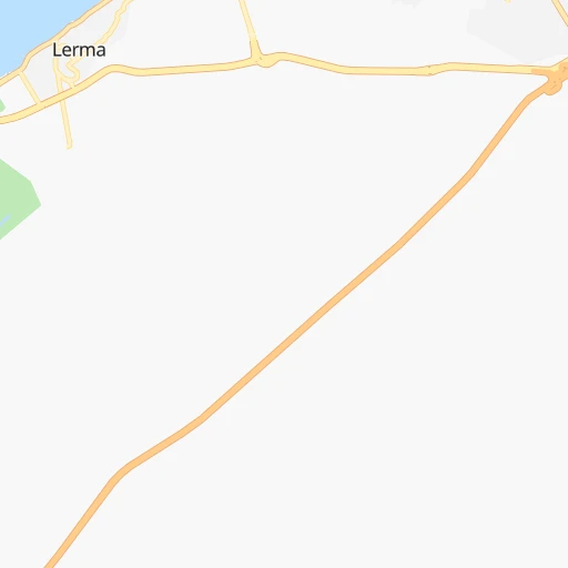
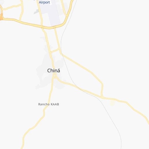
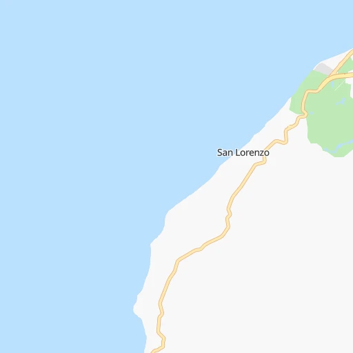
Roadmap (route) to go from Chiná to Tenosique detailed above, you can also see the course layout on the map.
While doing trip Chiná - Tenosique by car, the calculated route ends at a distance , or more straight.
Distance and duration of the route between Chiná and Tenosique
Calculation of distance and route from Tenosique to Chiná :
272.7327.2 km5h54mn
Continue onto Calle 26 0h0mn 21 mTurn sharp left onto Calle 24 0h1mn 573 mTurn right onto Calle 24 0h0mn 9 mTurn left onto Calle 22 0h3mn 2.8 kmTurn left 0h2mn 2.7 kmKeep right 1h36mn 56.7 kmTurn left onto Calle 30 0h1mn 475 mTurn left onto Calle 34 0h2mn 2.2 kmAt roundabout, take exit 2 onto Calle 34 0h1mn 1.6 kmAt roundabout, take exit 2 onto Carretera Champotón-Escárcega 1h8mn 80.3 kmAt roundabout, take exit 1 onto Avenida Solidaridad 0h1mn 1.4 kmContinue onto Carretera Federal Villahermosa - Chetumal 0h2mn 2.5 kmTurn left 0h9mn 9.3 kmTurn left onto Calle 12 0h0mn 274 mTurn right onto Calle 26 0h21mn 21.4 kmKeep left 0h9mn 9.4 kmTurn right onto Carretera División del Norte-Candelaria 0h0mn 185 mTurn left onto Carretera División del Norte-Candelaria 0h16mn 16.5 kmTurn right onto Carretera División del Norte-Candelaria 0h5mn 4.8 kmTurn right onto Calle 23 0h1mn 517 mTurn left onto Calle 25 0h0mn 17 mContinue onto Calle 10 0h10mn 11.7 kmKeep right 0h16mn 14.6 kmTurn left onto Carretera La Tolva-Conquista Campesina 0h0mn 99 mTurn right onto Calle Benito Juárez 0h6mn 6.9 kmTurn left onto Al Naranjo 0h10mn 10.5 kmTurn right onto Avenida Francisco Javier Santamaría 0h1mn 998 mTurn right 0h0mn 65 mTurn left onto Avenida 27 de Febrero 0h1mn 599 mTurn slight right onto 27 de Febrero 0h11mn 11.1 kmTurn left onto A la Cuchilla 0h27mn 25.6 kmTurn right onto El Guayacán 1h30mn 30.3 kmTurn right onto Calle 15 0h0mn 126 mTurn left onto Calle 24 0h0mn 436 mTurn left onto Calle 31 0h0mn 217 mTurn right onto Calle 36 0h1mn 263 mTurn right onto Calle 45 0h0mn 78 mArrive at destination 0h0mn 0 m
Travel from Chiná (Tabasco) to a selection of major cities.
Distances from Chiná to biggest cities in Campeche
Other major cities in country :
- Aguascalientes [01], 658,179 inhabitants. 1,248 km
- Acapulco de Juarez [12], 652,136 inhabitants. 1,046 km
- Coyoacan [09], 628,063 inhabitants. 910 km
- Santiago de Queretaro [22], 626,495 inhabitants. 1,037 km
- Saltillo [07], 621,250 inhabitants. 1,250 km
- Tlalpan [09], 607,545 inhabitants. 911 km
- Mexicali [02], 597,099 inhabitants. 2,864 km
- Hermosillo [26], 595,811 inhabitants. 2,316 km
- Morelia [16], 592,797 inhabitants. 1,120 km
- Veracruz [30], 568,313 inhabitants. 596 km
- Cancun [23], 542,043 inhabitants. 412 km
- Santa Maria Chimalhuacan [15], 525,389 inhabitants. 887 km
- Torreon [07], 524,066 inhabitants. 1,474 km
- Cuauhtemoc [09], 521,348 inhabitants. 908 km
- Ciudad Lopez Mateos [15], 521,034 inhabitants. 919 km
- Toluca [15], 505,881 inhabitants. 962 km
- Reynosa [28], 498,654 inhabitants. 1,064 km
- Tlaquepaque [14], 493,646 inhabitants. 1,340 km
- Tuxtla [05], 481,128 inhabitants. 434 km
- Cuautitlan Izcalli [15], 475,179 inhabitants. 914 km
Route from Tenosique to major cities (Mexico).
- Distance Tenosique Mexico City842 km
- Distance Tenosique Iztapalapa833 km
- Distance Tenosique Ecatepec de Morelos840 km
- Distance Tenosique Guadalajara1,308 km
- Distance Tenosique Puebla738 km
- Distance Tenosique Juarez2,193 km
- Distance Tenosique Tijuana3,062 km
- Distance Tenosique Ciudad Nezahualcoyotl830 km
- Distance Tenosique Gustavo Adolfo Madero842 km
- Distance Tenosique Monterrey1,296 km
- Distance Tenosique Leon de los Aldama1,151 km
- Distance Tenosique Zapopan1,309 km
- Distance Tenosique Naucalpan de Juarez855 km
- Distance Tenosique Chihuahua1,946 km
- Distance Tenosique Alvaro Obregon848 km
- Distance Tenosique Guadalupe1,291 km
- Distance Tenosique Merida434 km
- Distance Tenosique Tlalnepantla852 km
- Distance Tenosique San Luis Potosi1,128 km
- Distance Tenosique Culiacan1,845 km
Nearest cities to Chiná :
- Merida, 717,175 inhabitants. 163 km
- Villahermosa, 362,401 inhabitants. 324 km
- Campeche, 205,212 inhabitants. 9 km
- Ciudad del Carmen, 141,308 inhabitants. 187 km
- Chetumal, 134,412 inhabitants. 269 km
- Cardenas, 85,350 inhabitants. 361 km
- Kanasin, 77,240 inhabitants. 163 km
- Progreso, 47,124 inhabitants. 190 km
- Tizimin, 41,993 inhabitants. 289 km
- Comalcalco, 40,992 inhabitants. 332 km
- Valladolid, 39,663 inhabitants. 261 km
- Palenque, 36,669 inhabitants. 296 km
- Tenosique, 32,415 inhabitants. 273 km
- Macuspana, 30,409 inhabitants. 314 km
- Ticul, 30,282 inhabitants. 123 km
- Ocosingo, 28,721 inhabitants. 360 km
- Uman, 28,472 inhabitants. 147 km
- Escarcega, 28,159 inhabitants. 131 km
- Huimanguillo, 26,602 inhabitants. 373 km
- Rio de Teapa, 26,500 inhabitants. 336 km
- Teapa, 26,331 inhabitants. 358 km
- Champoton, 24,809 inhabitants. 52 km
- Paraiso, 23,830 inhabitants. 324 km
- Felipe Carrillo Puerto, 23,109 inhabitants. 258 km
- Tecax, 22,806 inhabitants. 136 km
- Frontera, 22,621 inhabitants. 264 km
- Hunucma, 22,288 inhabitants. 154 km
- Oxkutzkab, 21,508 inhabitants. 128 km
- Motul, 21,109 inhabitants. 195 km
- Berriozabal, 20,952 inhabitants. 442 km
- Emiliano Zapata, 18,608 inhabitants. 262 km
- Chichen-Itza, 18,000 inhabitants. 225 km
- Cunduacan, 17,904 inhabitants. 339 km
- Peto, 17,607 inhabitants. 170 km
- Jalpa de Mendez, 15,320 inhabitants. 323 km
- Izamal, 14,954 inhabitants. 202 km
- Yajalon, 14,763 inhabitants. 348 km
- Pichucalco, 14,220 inhabitants. 373 km
- Calkini, 14,195 inhabitants. 82 km
- San Carlos, 13,054 inhabitants. 256 km
- Maxcanu, 11,930 inhabitants. 105 km
- Balancan, 11,895 inhabitants. 244 km
- Bacalar, 11,513 inhabitants. 252 km
- Muna, 11,363 inhabitants. 115 km
- Dzitbalche, 10,902 inhabitants. 77 km
- Pomoca, 10,864 inhabitants. 320 km
- Chemax, 10,596 inhabitants. 285 km
- Nueva Palestina, 10,588 inhabitants. 338 km
- Bochil, 10,383 inhabitants. 399 km
- Tixkokob, 10,228 inhabitants. 179 km
Location Chiná (Campeche) :
| Country flag |  |
| Location | Chiná |
| State | Campeche |
| County | Campeche |
| Country | Mexico |
| Country code / ISO 2 | MX |
| Latitude | 19.7642100 |
| Longitude | -90.4964500 |
| Altitude | 0 meters |
| Time zone | America/Merida |
Location Tenosique (Tabasco) :
| Country flag | |
| Location | Tenosique |
| State | Tabasco |
| County | Tenosique |
| Country | Mexico |
| Country code / ISO 2 | MX |
| Latitude | 17.4729000 |
| Longitude | -91.4236000 |
| Altitude | 0 meters |
| Time zone | America/Mexico_City |