


How to get from Cocula (Guerrero) to Atoyac de Álvarez (Guerrero)
Calculate route from Cocula (Guerrero, Mexico) to Atoyac de Álvarez (Guerrero, Mexico).
The flight distance (as the crow flies) between Cocula and Atoyac de Álvarez is 141.0 km.
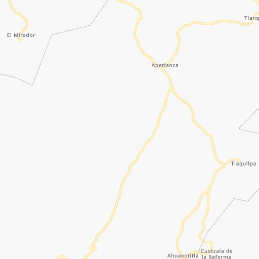
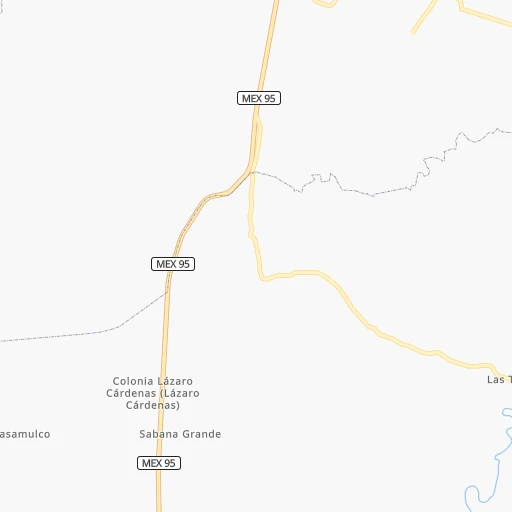
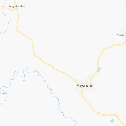
Roadmap (route) to go from Cocula to Atoyac de Álvarez detailed above, you can also see the course layout on the map.
While doing trip Cocula - Atoyac de Álvarez by car, the calculated route ends at a distance , or more straight.
Distance and duration of the route between Cocula and Atoyac de Álvarez
Calculation of distance and route from Atoyac de Álvarez to Cocula :
141.0280.0 km4h45mn
Continue onto Línea C 0h1mn 1.1 kmTurn sharp left 0h1mn 561 mTurn sharp right 0h10mn 5.2 kmTurn left onto Avenida Apipilulco a Coacoyula 0h24mn 12.0 kmTurn sharp left 0h4mn 1.8 kmTurn left 0h12mn 9.7 kmTurn right onto Carretera Cuernavaca-Chilpancingo 1h44mn 56.4 kmTurn sharp right onto Calle del Panteón 0h0mn 7 mTurn left 0h0mn 49 mTurn left onto Avenida 20 de Noviembre 0h8mn 6.5 kmTurn right 0h0mn 38 mTurn right 0h0mn 83 mTurn right 0h0mn 386 mKeep right 1h59mn 98.4 kmKeep right and take GRO 260 toward Acapulco Cuota, Viaducto Diamante 0h0mn 256 mKeep right toward GRO 260 0h13mn 21.2 kmTurn left onto Libramiento Norte de Acapulco 0h2mn 2.3 kmTurn slight right onto Carretera Federal Acapulco - Zihuatanejo 0h11mn 14.0 kmTurn slight right onto Carretera Federal Acapulco - Zihuatanejo 0h12mn 18.0 kmKeep right 0h19mn 26.4 kmKeep right onto Carretera Nacional Atoyac-Y Griega 0h4mn 5.3 kmTurn right onto Calle Francisco Javier Mina 0h1mn 327 mTurn right onto Calle Palma 0h0mn 31 mArrive at destination 0h0mn 0 m
Travel from Cocula (Guerrero) to a selection of major cities.
Distances from Cocula to biggest cities in Guerrero
Other major cities in country :
- Aguascalientes [01], 658,179 inhabitants. 491 km
- Coyoacan [09], 628,063 inhabitants. 134 km
- Santiago de Queretaro [22], 626,495 inhabitants. 273 km
- Saltillo [07], 621,250 inhabitants. 813 km
- Tlalpan [09], 607,545 inhabitants. 129 km
- Mexicali [02], 597,099 inhabitants. 2,251 km
- Hermosillo [26], 595,811 inhabitants. 1,671 km
- Morelia [16], 592,797 inhabitants. 230 km
- Veracruz [30], 568,313 inhabitants. 385 km
- Cancun [23], 542,043 inhabitants. 1,381 km
- Santa Maria Chimalhuacan [15], 525,389 inhabitants. 151 km
- Torreon [07], 524,066 inhabitants. 902 km
- Cuauhtemoc [09], 521,348 inhabitants. 145 km
- Ciudad Lopez Mateos [15], 521,034 inhabitants. 153 km
- Toluca [15], 505,881 inhabitants. 117 km
- Reynosa [28], 498,654 inhabitants. 885 km
- Tlaquepaque [14], 493,646 inhabitants. 467 km
- Tuxtla [05], 481,128 inhabitants. 713 km
- Cuautitlan Izcalli [15], 475,179 inhabitants. 164 km
- Victoria de Durango [10], 457,140 inhabitants. 828 km
Route from Atoyac de Álvarez to major cities (Mexico).
- Distance Atoyac de Álvarez Mexico City283 km
- Distance Atoyac de Álvarez Iztapalapa280 km
- Distance Atoyac de Álvarez Ecatepec de Morelos304 km
- Distance Atoyac de Álvarez Guadalajara495 km
- Distance Atoyac de Álvarez Puebla312 km
- Distance Atoyac de Álvarez Juarez1,726 km
- Distance Atoyac de Álvarez Tijuana2,381 km
- Distance Atoyac de Álvarez Ciudad Nezahualcoyotl287 km
- Distance Atoyac de Álvarez Gustavo Adolfo Madero290 km
- Distance Atoyac de Álvarez Monterrey943 km
- Distance Atoyac de Álvarez Leon de los Aldama456 km
- Distance Atoyac de Álvarez Zapopan500 km
- Distance Atoyac de Álvarez Naucalpan de Juarez283 km
- Distance Atoyac de Álvarez Chihuahua1,398 km
- Distance Atoyac de Álvarez Alvaro Obregon273 km
- Distance Atoyac de Álvarez Guadalupe943 km
- Distance Atoyac de Álvarez Merida1,212 km
- Distance Atoyac de Álvarez Tlalnepantla291 km
- Distance Atoyac de Álvarez San Luis Potosi553 km
- Distance Atoyac de Álvarez Culiacan1,111 km
Nearest cities to Cocula :
- Mexico City, 12,294,193 inhabitants. 144 km
- Iztapalapa, 1,820,888 inhabitants. 139 km
- Ecatepec de Morelos, 1,806,226 inhabitants. 165 km
- Puebla, 1,590,256 inhabitants. 177 km
- Ciudad Nezahualcoyotl, 1,232,220 inhabitants. 146 km
- Gustavo Adolfo Madero, 1,193,161 inhabitants. 151 km
- Leon de los Aldama, 1,114,626 inhabitants. 386 km
- Naucalpan de Juarez, 846,185 inhabitants. 145 km
- Alvaro Obregon, 727,034 inhabitants. 134 km
- Tlalnepantla, 715,767 inhabitants. 153 km
- Acapulco de Juarez, 652,136 inhabitants. 156 km
- Coyoacan, 628,063 inhabitants. 134 km
- Santiago de Queretaro, 626,495 inhabitants. 273 km
- Tlalpan, 607,545 inhabitants. 129 km
- Morelia, 592,797 inhabitants. 230 km
- Santa Maria Chimalhuacan, 525,389 inhabitants. 151 km
- Cuauhtemoc, 521,348 inhabitants. 145 km
- Ciudad Lopez Mateos, 521,034 inhabitants. 153 km
- Toluca, 505,881 inhabitants. 117 km
- Cuautitlan Izcalli, 475,179 inhabitants. 164 km
- Venustiano Carranza, 447,459 inhabitants. 146 km
- Azcapotzalco, 425,298 inhabitants. 148 km
- Xalapa de Enriquez, 425,148 inhabitants. 322 km
- Xochimilco, 404,458 inhabitants. 127 km
- Iztacalco, 384,326 inhabitants. 142 km
- Xico, 365,777 inhabitants. 137 km
- Benito Juarez, 355,017 inhabitants. 140 km
- Miguel Hidalgo, 353,534 inhabitants. 142 km
- Ixtapaluca, 351,001 inhabitants. 145 km
- Tlahuac, 344,106 inhabitants. 136 km
- Cuernavaca, 343,769 inhabitants. 89 km
- Irapuato, 339,554 inhabitants. 326 km
- Pachuca de Soto, 319,581 inhabitants. 231 km
- Coacalco, 313,405 inhabitants. 166 km
- Celaya, 305,901 inhabitants. 283 km
- Oaxaca, 262,566 inhabitants. 337 km
- Los Reyes Acaquilpan, 251,168 inhabitants. 144 km
- Colonia del Valle, 250,000 inhabitants. 138 km
- Nicolas Romero, 245,383 inhabitants. 161 km
- Ojo de Agua, 242,272 inhabitants. 175 km
- Tehuacan, 241,429 inhabitants. 239 km
- Uruapan, 237,308 inhabitants. 285 km
- Magdalena Contreras, 228,927 inhabitants. 131 km
- Buenavista, 206,081 inhabitants. 161 km
- Poza Rica de Hidalgo, 174,526 inhabitants. 344 km
- Delegacion Cuajimalpa de Morelos, 173,625 inhabitants. 132 km
- San Pablo de las Salinas, 173,557 inhabitants. 170 km
- Metepec, 172,982 inhabitants. 114 km
- Chilpancingo, 165,250 inhabitants. 78 km
- Chalco, 163,996 inhabitants. 139 km
Location Cocula (Guerrero) :
| Country flag |  |
| Location | Cocula |
| State | Guerrero |
| County | Cocula |
| Country | Mexico |
| Country code / ISO 2 | MX |
| Latitude | 18.2333300 |
| Longitude | -99.6500000 |
| Altitude | 0 meters |
| Time zone | America/Mexico_City |
Location Atoyac de Álvarez (Guerrero) :
| Country flag | |
| Location | Atoyac de Álvarez |
| State | Guerrero |
| County | Atoyac de Álvarez |
| Country | Mexico |
| Country code / ISO 2 | MX |
| Latitude | 17.2066700 |
| Longitude | -100.4330600 |
| Altitude | 0 meters |
| Time zone | America/Mexico_City |