
How to get from Ciudad Mante (Tamaulipas) to Teziutlán (Puebla)
Calculate route from Ciudad Mante (Tamaulipas, Mexico) to Teziutlán (Puebla, Mexico).
The flight distance (as the crow flies) between Ciudad Mante and Teziutlán is 365.5 km.
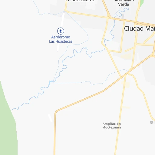
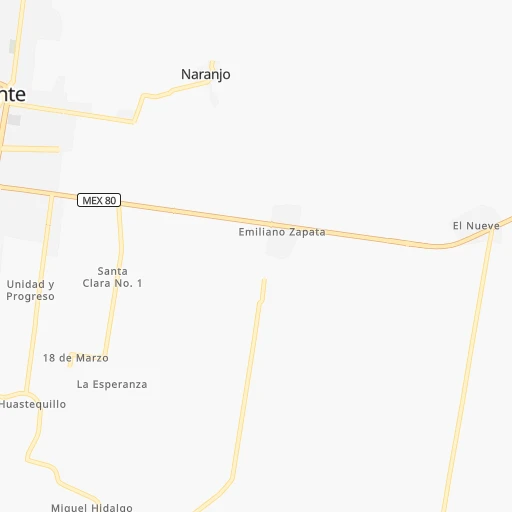
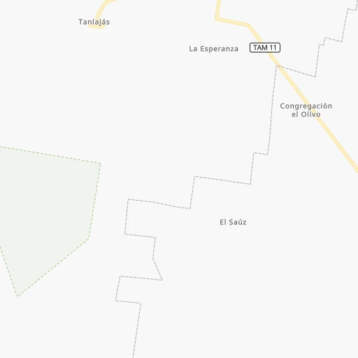
Roadmap (route) to go from Ciudad Mante to Teziutlán detailed above, you can also see the course layout on the map.
While doing trip Ciudad Mante - Teziutlán by car, the calculated route ends at a distance , or more straight.
Distance and duration of the route between Ciudad Mante and Teziutlán
Calculation of distance and route from Teziutlán to Ciudad Mante :
365.5496.2 km6h15mn
Continue onto Calle Ignacio Zaragoza 0h0mn 14 mTurn right onto Calle Vicente Guerrero 0h1mn 1.1 kmTurn right onto Boulevard Luis Echeverría Álvarez 0h1mn 1.6 kmAt roundabout, take exit 3 onto Carretera Mante-Tampico 0h26mn 28.9 kmTurn slight right onto Carretera Mante-Tampico 1h40mn 44.2 kmContinue onto Calle Insurgentes 0h1mn 913 mKeep right onto Calle Insurgentes 0h3mn 3.7 kmKeep right onto MEX 80 1h44mn 63.1 kmKeep left onto Sexta Avenida 0h2mn 1.8 kmKeep left 0h1mn 626 mTurn right onto Río Tamesi 0h5mn 4.9 kmKeep right onto Boulevard Adolfo López Mateos 0h5mn 5.5 kmKeep left onto Calle Santo Niño 0h0mn 19 mTurn sharp left onto Boulevard Licenciado Adolfo López Mateos 0h0mn 143 mTurn right onto MEX 180 1h55mn 62.6 kmKeep right onto Autopista Tuxpan - Tampico 0h29mn 47.7 kmKeep left onto MEX 180D 1h45mn 74.1 kmKeep right and take MEX 180D toward Veracruz, Poza Rica 0h1mn 1.1 kmContinue onto Autopista Poza Rica - Cardel 1h53mn 84.8 kmKeep right 0h0mn 513 mContinue onto Carretera Federal Martínez de la Torre - Nautla 0h11mn 13.4 kmKeep right onto MEX 129 0h6mn 6.8 kmKeep right onto MEX 129 0h0mn 246 mContinue onto Carretera Federal Tlapacoyan - Martínez de la Torre 0h15mn 16.7 kmContinue onto Calle Héroes de Tlapacoyan 0h1mn 792 mTurn left onto Avenida Cuauhtémoc 0h0mn 491 mTurn right onto Prolongación Cuauhtémoc 0h0mn 197 mContinue onto Carretera Federal Teziutlán - Tlapacoyan 0h17mn 19.2 kmTurn sharp right 0h0mn 100 mTurn sharp left onto Calle Granadas 0h1mn 285 mTurn right onto Carretera Federal Teziutlán - Tlapacoyan 0h8mn 9.1 kmTurn right onto Calle Morelia 0h1mn 339 mTurn left onto Avenida Carmen M. de Tapia 0h0mn 44 mKeep left onto Calle Carmen M. de Tapia 0h0mn 225 mTurn slight right onto Avenida Benito Juárez 0h0mn 539 mTurn left onto Avenida Benito Juárez 0h1mn 569 mArrive at destination 0h0mn 0 m
Travel from Ciudad Mante (Puebla) to a selection of major cities.
Distances from Ciudad Mante to biggest cities in Tamaulipas
Other major cities in country :
- Aguascalientes [01], 658,179 inhabitants. 354 km
- Acapulco de Juarez [12], 652,136 inhabitants. 663 km
- Coyoacan [09], 628,063 inhabitants. 379 km
- Santiago de Queretaro [22], 626,495 inhabitants. 281 km
- Saltillo [07], 621,250 inhabitants. 363 km
- Tlalpan [09], 607,545 inhabitants. 384 km
- Mexicali [02], 597,099 inhabitants. 1,958 km
- Hermosillo [26], 595,811 inhabitants. 1,394 km
- Morelia [16], 592,797 inhabitants. 409 km
- Veracruz [30], 568,313 inhabitants. 494 km
- Cancun [23], 542,043 inhabitants. 1,264 km
- Santa Maria Chimalhuacan [15], 525,389 inhabitants. 370 km
- Torreon [07], 524,066 inhabitants. 549 km
- Cuauhtemoc [09], 521,348 inhabitants. 368 km
- Ciudad Lopez Mateos [15], 521,034 inhabitants. 356 km
- Toluca [15], 505,881 inhabitants. 391 km
- Tlaquepaque [14], 493,646 inhabitants. 504 km
- Tuxtla [05], 481,128 inhabitants. 906 km
- Cuautitlan Izcalli [15], 475,179 inhabitants. 346 km
- Victoria de Durango [10], 457,140 inhabitants. 598 km
Route from Teziutlán to major cities (Mexico).
- Distance Teziutlán Mexico City190 km
- Distance Teziutlán Iztapalapa186 km
- Distance Teziutlán Ecatepec de Morelos180 km
- Distance Teziutlán Guadalajara637 km
- Distance Teziutlán Juarez1,607 km
- Distance Teziutlán Tijuana2,411 km
- Distance Teziutlán Ciudad Nezahualcoyotl180 km
- Distance Teziutlán Gustavo Adolfo Madero187 km
- Distance Teziutlán Monterrey719 km
- Distance Teziutlán Leon de los Aldama473 km
- Distance Teziutlán Zapopan637 km
- Distance Teziutlán Naucalpan de Juarez201 km
- Distance Teziutlán Chihuahua1,321 km
- Distance Teziutlán Alvaro Obregon200 km
- Distance Teziutlán Guadalupe717 km
- Distance Teziutlán Merida818 km
- Distance Teziutlán Tlalnepantla195 km
- Distance Teziutlán San Luis Potosi457 km
- Distance Teziutlán Culiacan1,171 km
- Distance Teziutlán Aguascalientes561 km
Nearest cities to Ciudad Mante :
- Monterrey, 1,122,874 inhabitants. 354 km
- Leon de los Aldama, 1,114,626 inhabitants. 332 km
- Guadalupe, 724,921 inhabitants. 352 km
- San Luis Potosi, 677,704 inhabitants. 217 km
- Santiago de Queretaro, 626,495 inhabitants. 281 km
- Saltillo, 621,250 inhabitants. 363 km
- San Nicolas de los Garza, 443,273 inhabitants. 360 km
- Irapuato, 339,554 inhabitants. 337 km
- Pachuca de Soto, 319,581 inhabitants. 293 km
- Tampico, 309,003 inhabitants. 130 km
- Celaya, 305,901 inhabitants. 312 km
- Ciudad Victoria, 269,923 inhabitants. 113 km
- Santa Catarina, 254,472 inhabitants. 359 km
- Soledad de Graciano Sanchez, 194,006 inhabitants. 211 km
- Ciudad Madero, 192,736 inhabitants. 128 km
- Ciudad Valles, 176,935 inhabitants. 83 km
- Poza Rica de Hidalgo, 174,526 inhabitants. 292 km
- Salamanca, 138,614 inhabitants. 333 km
- Tuxpam de Rodriguez Cano, 134,394 inhabitants. 256 km
- San Pedro Garza Garcia, 130,646 inhabitants. 356 km
- San Pedro Garza Garcia, 122,009 inhabitants. 355 km
- San Juan del Rio, 118,173 inhabitants. 283 km
- Tantoyuca, 103,610 inhabitants. 173 km
- Tulancingo, 102,383 inhabitants. 303 km
- Temapache, 101,558 inhabitants. 232 km
- Martinez de la Torre, 100,377 inhabitants. 357 km
- Lagos de Moreno, 84,677 inhabitants. 343 km
- Ciudad Mante, 79,981 inhabitants. 0 km
- Guanajuato, 78,364 inhabitants. 304 km
- Teziutlan, 70,819 inhabitants. 366 km
- San Miguel de Allende, 69,811 inhabitants. 274 km
- Cadereyta, 67,994 inhabitants. 332 km
- Matehuala, 67,717 inhabitants. 198 km
- Miramar, 67,689 inhabitants. 124 km
- San Francisco del Rincon, 66,949 inhabitants. 354 km
- Silao, 65,195 inhabitants. 323 km
- Teoloyucan, 61,376 inhabitants. 335 km
- Valle de Santiago, 60,528 inhabitants. 348 km
- Dolores Hidalgo Cuna de la Independencia Nacional, 59,240 inhabitants. 269 km
- Linares, 57,731 inhabitants. 243 km
- Cortazar, 56,360 inhabitants. 325 km
- Acambaro, 56,263 inhabitants. 352 km
- Altamira, 54,954 inhabitants. 113 km
- Jardines de la Silla (Jardines), 53,742 inhabitants. 344 km
- Zumpango, 50,742 inhabitants. 328 km
- Zacapu, 50,112 inhabitants. 438 km
- Huauchinango, 49,852 inhabitants. 301 km
- Uriangato, 49,745 inhabitants. 369 km
- Rioverde, 48,854 inhabitants. 139 km
- Papantla de Olarte, 47,958 inhabitants. 307 km
Location Ciudad Mante (Tamaulipas) :
| Country flag |  |
| Location | Ciudad Mante |
| State | Tamaulipas |
| County | El Mante |
| Country | Mexico |
| Country code / ISO 2 | MX |
| Latitude | 22.7430400 |
| Longitude | -98.9739000 |
| Altitude | 0 meters |
| Time zone | America/Monterrey |
Location Teziutlán (Puebla) :
| Country flag | |
| Location | Teziutlán |
| State | Puebla |
| County | Teziutlán |
| Country | Mexico |
| Country code / ISO 2 | MX |
| Latitude | 19.8173000 |
| Longitude | -97.3599200 |
| Altitude | 0 meters |
| Time zone | America/Mexico_City |


