


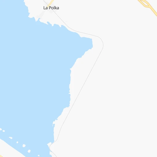


How to get from La Polka (Chiapas) to Matías Romero (Oaxaca)
Calculate route from La Polka (Chiapas, Mexico) to Matías Romero (Oaxaca, Mexico).
The flight distance (as the crow flies) between La Polka and Matías Romero is 178.7 km.
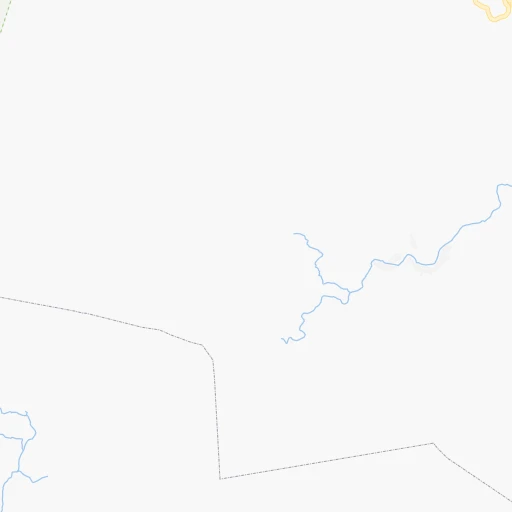
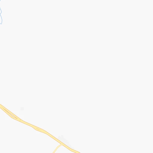
Roadmap (route) to go from La Polka to Matías Romero detailed above, you can also see the course layout on the map.
While doing trip La Polka - Matías Romero by car, the calculated route ends at a distance , or more straight.
Distance and duration of the route between La Polka and Matías Romero
Calculation of distance and route from Matías Romero to La Polka :
178.7221.6 km3h11mn
Continue 0h0mn 46 mTurn left 0h5mn 4.3 kmTurn left onto MEX 200 1h31mn 37.5 kmKeep left 0h7mn 7.9 kmKeep left onto MEX 200 0h1mn 732 mTurn slight right onto MEX 200 1h32mn 37.3 kmKeep right 0h1mn 866 mTurn slight right onto MEX 200 0h2mn 1.8 kmKeep left onto MEX 200 0h0mn 108 mTurn left onto Carretera Tapanatepec - Tuxtla Gutiérrez 0h3mn 3.2 kmContinue onto MEX 200 1h12mn 85.9 kmKeep right 0h1mn 888 mContinue onto Matías Romero la Ventosa 0h25mn 26.9 kmKeep left 0h3mn 4.8 kmContinue onto Carretera Transistmica 0h7mn 7.9 kmTurn left 0h1mn 1.3 kmTurn right onto Avenida Morelos Norte 0h0mn 114 mTurn left onto Calle Iturbide 0h0mn 74 mArrive at destination 0h0mn 0 m
Travel from La Polka (Oaxaca) to a selection of major cities.
Distances from La Polka to biggest cities in Chiapas
Other major cities in country :
- Aguascalientes [01], 658,179 inhabitants. 1,121 km
- Acapulco de Juarez [12], 652,136 inhabitants. 674 km
- Coyoacan [09], 628,063 inhabitants. 694 km
- Santiago de Queretaro [22], 626,495 inhabitants. 878 km
- Saltillo [07], 621,250 inhabitants. 1,301 km
- Tlalpan [09], 607,545 inhabitants. 691 km
- Mexicali [02], 597,099 inhabitants. 2,875 km
- Hermosillo [26], 595,811 inhabitants. 2,299 km
- Morelia [16], 592,797 inhabitants. 899 km
- Veracruz [30], 568,313 inhabitants. 445 km
- Cancun [23], 542,043 inhabitants. 924 km
- Santa Maria Chimalhuacan [15], 525,389 inhabitants. 680 km
- Torreon [07], 524,066 inhabitants. 1,472 km
- Cuauhtemoc [09], 521,348 inhabitants. 699 km
- Ciudad Lopez Mateos [15], 521,034 inhabitants. 715 km
- Toluca [15], 505,881 inhabitants. 735 km
- Reynosa [28], 498,654 inhabitants. 1,225 km
- Tlaquepaque [14], 493,646 inhabitants. 1,143 km
- Cuautitlan Izcalli [15], 475,179 inhabitants. 717 km
- Victoria de Durango [10], 457,140 inhabitants. 1,458 km
Route from Matías Romero to major cities (Mexico).
- Distance Matías Romero Mexico City517 km
- Distance Matías Romero Iztapalapa507 km
- Distance Matías Romero Ecatepec de Morelos522 km
- Distance Matías Romero Guadalajara976 km
- Distance Matías Romero Puebla412 km
- Distance Matías Romero Juarez2,015 km
- Distance Matías Romero Tijuana2,811 km
- Distance Matías Romero Ciudad Nezahualcoyotl506 km
- Distance Matías Romero Gustavo Adolfo Madero520 km
- Distance Matías Romero Monterrey1,122 km
- Distance Matías Romero Leon de los Aldama843 km
- Distance Matías Romero Zapopan978 km
- Distance Matías Romero Naucalpan de Juarez530 km
- Distance Matías Romero Chihuahua1,730 km
- Distance Matías Romero Alvaro Obregon520 km
- Distance Matías Romero Guadalupe1,119 km
- Distance Matías Romero Merida731 km
- Distance Matías Romero Tlalnepantla530 km
- Distance Matías Romero San Luis Potosi856 km
- Distance Matías Romero Culiacan1,556 km
Nearest cities to La Polka :
- Tuxtla, 481,128 inhabitants. 107 km
- Villahermosa, 362,401 inhabitants. 239 km
- Coatzacoalcos, 230,717 inhabitants. 258 km
- Tapachula, 197,961 inhabitants. 191 km
- Minatitlan, 150,895 inhabitants. 246 km
- Ciudad del Carmen, 141,308 inhabitants. 357 km
- San Cristobal de las Casas, 128,996 inhabitants. 139 km
- Las Margaritas, 103,403 inhabitants. 184 km
- Tuxtepec, 92,121 inhabitants. 353 km
- Cardenas, 85,350 inhabitants. 229 km
- Comitan, 79,944 inhabitants. 167 km
- Salina Cruz, 73,648 inhabitants. 165 km
- Juchitan de Zaragoza, 67,637 inhabitants. 154 km
- San Andres Tuxtla, 55,697 inhabitants. 322 km
- Acayucan, 46,990 inhabitants. 259 km
- Comalcalco, 40,992 inhabitants. 261 km
- Las Choapas, 40,304 inhabitants. 222 km
- Loma Bonita, 39,166 inhabitants. 336 km
- Santo Domingo Tehuantepec, 37,389 inhabitants. 173 km
- Palenque, 36,669 inhabitants. 249 km
- Agua Dulce, 36,119 inhabitants. 248 km
- Cintalapa de Figueroa, 33,464 inhabitants. 81 km
- Tonala, 32,855 inhabitants. 18 km
- Tenosique, 32,415 inhabitants. 292 km
- Chiapa de Corzo, 32,182 inhabitants. 109 km
- Ocozocoautla de Espinosa, 31,596 inhabitants. 95 km
- Macuspana, 30,409 inhabitants. 231 km
- Huixtla, 29,257 inhabitants. 158 km
- Cosamaloapan, 28,768 inhabitants. 351 km
- Ocosingo, 28,721 inhabitants. 198 km
- Escarcega, 28,159 inhabitants. 428 km
- Huimanguillo, 26,602 inhabitants. 211 km
- Rio de Teapa, 26,500 inhabitants. 219 km
- Teapa, 26,331 inhabitants. 193 km
- Nanchital de Lazaro Cardenas del Rio, 25,982 inhabitants. 248 km
- La Isla, 24,558 inhabitants. 395 km
- Catemaco, 24,257 inhabitants. 315 km
- Paraiso, 23,830 inhabitants. 276 km
- Ixtepec, 23,150 inhabitants. 168 km
- Arriaga, 22,820 inhabitants. 40 km
- Frontera, 22,621 inhabitants. 307 km
- Alvarado, 21,518 inhabitants. 384 km
- Allende, 21,398 inhabitants. 257 km
- Matias Romero, 21,064 inhabitants. 179 km
- Berriozabal, 20,952 inhabitants. 102 km
- Cosoleacaque, 20,371 inhabitants. 250 km
- Motozintla, 19,092 inhabitants. 166 km
- Lerdo de Tejada, 18,941 inhabitants. 357 km
- Comalapa, 18,704 inhabitants. 166 km
- Emiliano Zapata, 18,608 inhabitants. 283 km
Location La Polka (Chiapas) :
| Country flag |  |
| Location | La Polka |
| State | Chiapas |
| County | Tonalá |
| Country | Mexico |
| Country code / ISO 2 | MX |
| Latitude | 15.9587300 |
| Longitude | -93.6643300 |
| Altitude | 0 meters |
| Time zone | America/Mexico_City |
Location Matías Romero (Oaxaca) :
| Country flag | |
| Location | Matías Romero |
| State | Oaxaca |
| County | Matías Romero Avendaño |
| Country | Mexico |
| Country code / ISO 2 | MX |
| Latitude | 16.8790200 |
| Longitude | -95.0393900 |
| Altitude | 0 meters |
| Time zone | America/Mexico_City |