


How to get from Mata Loma (Veracruz) to Colonia del Valle (Mexico City)
Calculate route from Mata Loma (Veracruz, Mexico) to Colonia del Valle (Mexico City, Mexico).
The flight distance (as the crow flies) between Mata Loma and Colonia del Valle is 302.1 km.
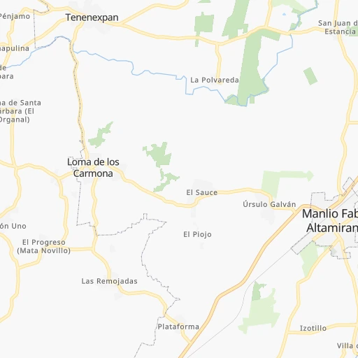
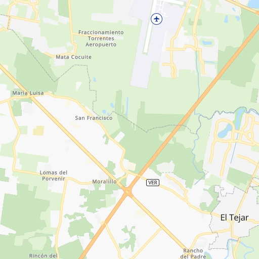
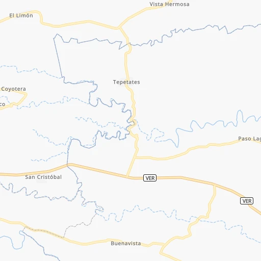
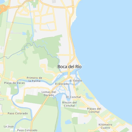
Roadmap (route) to go from Mata Loma to Colonia del Valle detailed above, you can also see the course layout on the map.
While doing trip Mata Loma - Colonia del Valle by car, the calculated route ends at a distance , or more straight.
Distance and duration of the route between Mata Loma and Colonia del Valle
Calculation of distance and route from Colonia del Valle to Mata Loma :
302.1388.1 km4h25mn
Continue onto Calle Vicente Guerrero 0h0mn 60 mTurn right onto Calle Emiliano Zapata 0h0mn 224 mTurn right onto Calle Benito Juárez 0h0mn 380 mTurn right onto Carretera Estatal Soledad de Doblado - Veracruz 0h6mn 7.0 kmTurn sharp right 0h0mn 20 mKeep right 0h0mn 164 mTurn right onto Carretera Costera del Golfo 0h5mn 8.4 kmTurn slight right onto MEX 180 0h0mn 99 mKeep right 0h12mn 19.3 kmKeep left onto Emiliano Zapata 0h0mn 195 mContinue onto Emiliano Zapata 0h18mn 28.4 kmKeep left onto Autopista Xalapa - Veracruz 0h11mn 18.2 kmKeep right onto Libramiento Xalapa and drive toward Mexico, Perote 1h23mn 135.5 kmKeep right and take MEX 140D, MEX 136 toward Huamantla 0h1mn 451 mKeep right and take MEX 136 toward Apizaco, Huamantla 0h10mn 11.5 kmTurn left onto Carretera México-Veracruz 0h0mn 169 mTurn slight right onto Avenida Abasolo Oriente 0h2mn 1.6 kmTurn left onto Avenida Reforma Norte 0h1mn 328 mTurn right onto Avenida Hidalgo Poniente 0h1mn 1.1 kmContinue onto Carretera México-Veracruz 0h17mn 19.6 kmKeep right onto Libramiento Ciudad de Apizaco 0h1mn 592 mKeep left onto Libramiento Ciudad de Apizaco 0h7mn 8.0 kmKeep right and drive toward Apizaco 0h0mn 398 mTurn left 0h0mn 40 mTurn left onto Boulevard Apizaco-Amaxac 0h3mn 2.5 kmTurn right onto Avenida Ignacio Zaragoza 0h1mn 873 mTurn left onto Calle Acxotecatl 0h0mn 309 mAt roundabout, take exit 2 0h0mn 115 mKeep left and take MEX 117D toward Tlaxcala 0h18mn 29.0 kmTurn right onto Boulevard Xicohténcatl 0h1mn 718 mTurn right onto Boulevard Licenciado B. G. Pérez de A. 0h1mn 1.5 kmTurn right onto Avenida Libertad Norte 0h5mn 5.9 kmKeep left 0h1mn 324 mTurn slight left 0h1mn 574 mKeep right 1h38mn 62.2 kmKeep right and drive toward Texcoco - Los Reyes, Eje 5 0h1mn 1.8 kmKeep right 0h0mn 449 mTurn slight right onto Avenida de las Torres 0h7mn 7.7 kmKeep left onto EJE 5 SUR 0h1mn 768 mTurn slight right onto Calle Cadéna Azul 0h0mn 35 mKeep left onto Avenida Marcelino Buendía 0h5mn 4.9 kmTurn right onto Avenida Santa María La Purísima 0h7mn 6.9 kmArrive at destination 0h0mn 0 m
Travel from Mata Loma (Mexico City) to a selection of major cities.
Distances from Mata Loma to biggest cities in Veracruz
- Tlapacoyan,33,667 inhabitants.133 km
- Perote,32,559 inhabitants.111 km
- Coatzintla,30,607 inhabitants.195 km
- Huatusco,29,387 inhabitants.71 km
- Cosamaloapan,28,768 inhabitants.100 km
- Nanchital de Lazaro Cardenas del Rio,25,982 inhabitants.231 km
- La Isla,24,558 inhabitants.61 km
- Catemaco,24,257 inhabitants.147 km
- Ixtaczoquitlan,23,522 inhabitants.87 km
- Misantla,23,242 inhabitants.106 km
- Alamo,22,740 inhabitants.245 km
- Alvarado,21,518 inhabitants.69 km
- Allende,21,398 inhabitants.228 km
- Fortin de las Flores,21,370 inhabitants.78 km
- Cosoleacaque,20,371 inhabitants.216 km
Other major cities in country :
- Aguascalientes [01], 658,179 inhabitants. 695 km
- Acapulco de Juarez [12], 652,136 inhabitants. 459 km
- Coyoacan [09], 628,063 inhabitants. 302 km
- Santiago de Queretaro [22], 626,495 inhabitants. 458 km
- Saltillo [07], 621,250 inhabitants. 852 km
- Tlalpan [09], 607,545 inhabitants. 302 km
- Mexicali [02], 597,099 inhabitants. 2,430 km
- Hermosillo [26], 595,811 inhabitants. 1,856 km
- Morelia [16], 592,797 inhabitants. 517 km
- Cancun [23], 542,043 inhabitants. 1,013 km
- Santa Maria Chimalhuacan [15], 525,389 inhabitants. 281 km
- Torreon [07], 524,066 inhabitants. 1,023 km
- Cuauhtemoc [09], 521,348 inhabitants. 302 km
- Ciudad Lopez Mateos [15], 521,034 inhabitants. 315 km
- Toluca [15], 505,881 inhabitants. 354 km
- Reynosa [28], 498,654 inhabitants. 800 km
- Tlaquepaque [14], 493,646 inhabitants. 752 km
- Tuxtla [05], 481,128 inhabitants. 428 km
- Cuautitlan Izcalli [15], 475,179 inhabitants. 312 km
- Victoria de Durango [10], 457,140 inhabitants. 1,022 km
Route from Colonia del Valle to major cities (Mexico).
- Distance Colonia del Valle Ecatepec de Morelos27 km
- Distance Colonia del Valle Guadalajara465 km
- Distance Colonia del Valle Puebla108 km
- Distance Colonia del Valle Juarez1,555 km
- Distance Colonia del Valle Tijuana2,301 km
- Distance Colonia del Valle Ciudad Nezahualcoyotl16 km
- Distance Colonia del Valle Monterrey710 km
- Distance Colonia del Valle Leon de los Aldama326 km
- Distance Colonia del Valle Zapopan466 km
- Distance Colonia del Valle Naucalpan de Juarez13 km
- Distance Colonia del Valle Chihuahua1,247 km
- Distance Colonia del Valle Guadalupe709 km
- Distance Colonia del Valle Merida1,013 km
- Distance Colonia del Valle Tlalnepantla17 km
- Distance Colonia del Valle San Luis Potosi361 km
- Distance Colonia del Valle Culiacan1,040 km
- Distance Colonia del Valle Aguascalientes428 km
- Distance Colonia del Valle Acapulco de Juarez293 km
- Distance Colonia del Valle Santiago de Queretaro185 km
- Distance Colonia del Valle Saltillo698 km
Nearest cities to Mata Loma :
- Mexico City, 12,294,193 inhabitants. 300 km
- Iztapalapa, 1,820,888 inhabitants. 292 km
- Ecatepec de Morelos, 1,806,226 inhabitants. 295 km
- Puebla, 1,590,256 inhabitants. 201 km
- Ciudad Nezahualcoyotl, 1,232,220 inhabitants. 287 km
- Gustavo Adolfo Madero, 1,193,161 inhabitants. 299 km
- Naucalpan de Juarez, 846,185 inhabitants. 312 km
- Alvaro Obregon, 727,034 inhabitants. 307 km
- Tlalnepantla, 715,767 inhabitants. 308 km
- Coyoacan, 628,063 inhabitants. 302 km
- Tlalpan, 607,545 inhabitants. 302 km
- Veracruz, 568,313 inhabitants. 17 km
- Santa Maria Chimalhuacan, 525,389 inhabitants. 281 km
- Cuauhtemoc, 521,348 inhabitants. 302 km
- Ciudad Lopez Mateos, 521,034 inhabitants. 315 km
- Cuautitlan Izcalli, 475,179 inhabitants. 312 km
- Venustiano Carranza, 447,459 inhabitants. 297 km
- Azcapotzalco, 425,298 inhabitants. 306 km
- Xalapa de Enriquez, 425,148 inhabitants. 79 km
- Xochimilco, 404,458 inhabitants. 296 km
- Iztacalco, 384,326 inhabitants. 296 km
- Xico, 365,777 inhabitants. 280 km
- Benito Juarez, 355,017 inhabitants. 302 km
- Miguel Hidalgo, 353,534 inhabitants. 307 km
- Ixtapaluca, 351,001 inhabitants. 273 km
- Tlahuac, 344,106 inhabitants. 285 km
- Cuernavaca, 343,769 inhabitants. 310 km
- Pachuca de Soto, 319,581 inhabitants. 278 km
- Coacalco, 313,405 inhabitants. 300 km
- Oaxaca, 262,566 inhabitants. 234 km
- Los Reyes Acaquilpan, 251,168 inhabitants. 283 km
- Colonia del Valle, 250,000 inhabitants. 303 km
- Ojo de Agua, 242,272 inhabitants. 292 km
- Tehuacan, 241,429 inhabitants. 138 km
- Coatzacoalcos, 230,717 inhabitants. 224 km
- Magdalena Contreras, 228,927 inhabitants. 307 km
- Buenavista, 206,081 inhabitants. 307 km
- Ciudad Valles, 176,935 inhabitants. 426 km
- Poza Rica de Hidalgo, 174,526 inhabitants. 198 km
- Delegacion Cuajimalpa de Morelos, 173,625 inhabitants. 316 km
- San Pablo de las Salinas, 173,557 inhabitants. 300 km
- Chalco, 163,996 inhabitants. 274 km
- Jiutepec, 162,427 inhabitants. 305 km
- Cholula, 151,667 inhabitants. 211 km
- Minatitlan, 150,895 inhabitants. 222 km
- Cuautla, 146,178 inhabitants. 280 km
- Cordoba, 134,403 inhabitants. 72 km
- Tuxpam de Rodriguez Cano, 134,394 inhabitants. 234 km
- Orizaba, 121,348 inhabitants. 90 km
- Milpa Alta, 115,895 inhabitants. 287 km
Location Mata Loma (Veracruz) :
| Country flag |  |
| Location | Mata Loma |
| State | Veracruz |
| County | Manlio Fabio Altamirano |
| Country | Mexico |
| Country code / ISO 2 | MX |
| Latitude | 19.1314500 |
| Longitude | -96.2944300 |
| Altitude | 0 meters |
| Time zone | America/Mexico_City |
Location Colonia del Valle (Mexico City) :
| Country flag | |
| Location | Colonia del Valle |
| State | Mexico City |
| County | Benito Juárez |
| Country | Mexico |
| Country code / ISO 2 | MX |
| Latitude | 19.3861100 |
| Longitude | -99.1620400 |
| Altitude | 0 meters |
| Time zone | America/Mexico_City |


