
How to get from Palo Gacho (Oaxaca) to Santa Cruz Zenzontepec (Oaxaca)
Calculate route from Palo Gacho (Oaxaca, Mexico) to Santa Cruz Zenzontepec (Oaxaca, Mexico).
The flight distance (as the crow flies) between Palo Gacho and Santa Cruz Zenzontepec is 237.1 km.
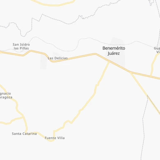
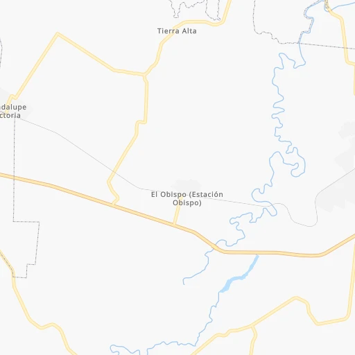
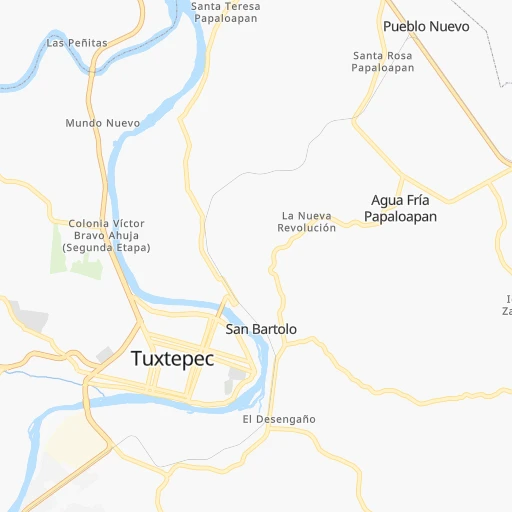
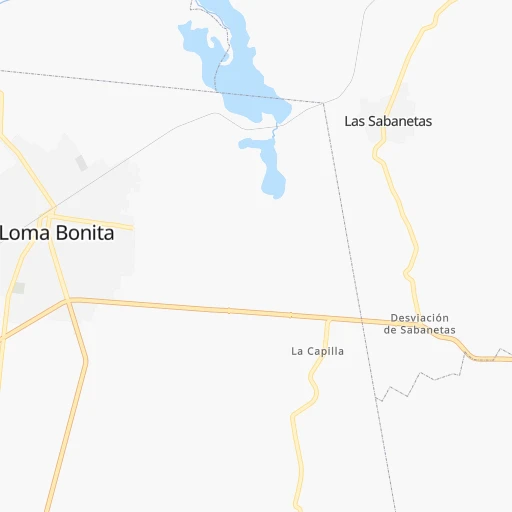
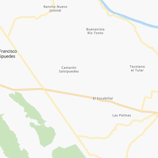
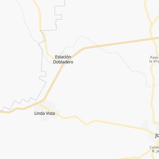
Roadmap (route) to go from Palo Gacho to Santa Cruz Zenzontepec detailed above, you can also see the course layout on the map.
While doing trip Palo Gacho - Santa Cruz Zenzontepec by car, the calculated route ends at a distance , or more straight.
Distance and duration of the route between Palo Gacho and Santa Cruz Zenzontepec
Calculation of distance and route from Santa Cruz Zenzontepec to Palo Gacho :
237.1404.0 km7h36mn
Continue onto Calle Artículo 123 0h0mn 212 mTurn left 0h0mn 222 mTurn right 0h0mn 64 mTurn left onto Avenida Serapio Rendón 0h0mn 220 mTurn right onto Calle Justo Sierra 0h1mn 435 mTurn sharp right onto Carretera Federal Tierra Blanca-Sayula de Alemán 0h5mn 6.3 kmKeep left onto Calle Lagunes 0h2mn 2.4 kmTurn sharp left onto Carretera a Tuxtepec 0h10mn 10.1 kmTurn left onto Avenida Libertad 1h41mn 46.6 kmTurn left onto Calle Poniente Cuatro 2h35mn 112.5 kmTurn left 0h0mn 41 mTurn right 0h8mn 4.2 kmTurn right 0h10mn 5.1 kmTurn slight left onto Carretera Federal Oaxaca - Tuxtepec 0h15mn 18.0 kmTurn right 0h5mn 2.5 kmKeep right 0h1mn 488 mTurn slight left 0h2mn 917 mKeep right 0h2mn 1.1 kmTurn left 0h0mn 21 mTurn right onto Carretera Federal Oaxaca - Tuxtepec 0h13mn 13.9 kmTurn left onto Calle Calicanto 0h0mn 313 mTurn right onto Avenida Ferrocarril 0h3mn 3.5 kmKeep left onto Avenida Ferrocarril 0h8mn 6.6 kmAt roundabout, take exit 2 0h14mn 15.4 kmKeep left onto Avenida Ferrocarril 0h1mn 515 mTurn right 0h0mn 108 mTurn left onto Avenida Juan N. Álvarez 0h0mn 78 mTurn right onto Calle San Lorenzo Mártir 0h0mn 7 mKeep left onto Calle San Lorenzo Mártir 0h1mn 433 mTurn left onto Carretera Oaxaca - Puerto Escondido 0h12mn 13.5 kmKeep left onto Avenida Porfirio Díaz 0h12mn 7.2 kmTurn sharp right onto Calle Lozeta 0h0mn 140 mTurn left onto Carretera Oaxaca - Puerto Escondido 0h9mn 9.7 kmKeep left 0h5mn 4.0 kmKeep left 0h3mn 2.4 kmTurn sharp left onto Carretera Oaxaca - Puerto Escondido 0h12mn 13.1 kmKeep right 0h0mn 42 mTurn right 0h2mn 788 mTurn left 0h5mn 2.5 kmTurn slight right 0h6mn 6.2 kmTurn left 1h35mn 36.9 kmTurn left 0h0mn 173 mTurn right 0h0mn 262 mTurn left 0h0mn 207 mTurn right 0h25mn 25.4 kmTurn left 0h1mn 711 mTurn left 0h0mn 223 mContinue 0h0mn 169 mTurn right 0h1mn 300 mTurn right 0h1mn 396 mTurn sharp right 0h4mn 4.1 kmTurn left onto Avenida Revolución 0h22mn 22.5 kmTurn sharp left 0h0mn 181 mTurn sharp left 0h0mn 182 mTurn right 0h0mn 134 mTurn right 0h0mn 302 mArrive at destination 0h0mn 0 m
Travel from Palo Gacho (Oaxaca) to a selection of major cities.
Distances from Palo Gacho to biggest cities in Oaxaca
Other major cities in country :
- Aguascalientes [01], 658,179 inhabitants. 779 km
- Acapulco de Juarez [12], 652,136 inhabitants. 438 km
- Coyoacan [09], 628,063 inhabitants. 360 km
- Santiago de Queretaro [22], 626,495 inhabitants. 536 km
- Saltillo [07], 621,250 inhabitants. 963 km
- Tlalpan [09], 607,545 inhabitants. 358 km
- Mexicali [02], 597,099 inhabitants. 2,529 km
- Hermosillo [26], 595,811 inhabitants. 1,953 km
- Morelia [16], 592,797 inhabitants. 573 km
- Veracruz [30], 568,313 inhabitants. 119 km
- Cancun [23], 542,043 inhabitants. 1,018 km
- Santa Maria Chimalhuacan [15], 525,389 inhabitants. 343 km
- Torreon [07], 524,066 inhabitants. 1,126 km
- Cuauhtemoc [09], 521,348 inhabitants. 363 km
- Ciudad Lopez Mateos [15], 521,034 inhabitants. 378 km
- Toluca [15], 505,881 inhabitants. 406 km
- Reynosa [28], 498,654 inhabitants. 917 km
- Tlaquepaque [14], 493,646 inhabitants. 815 km
- Tuxtla [05], 481,128 inhabitants. 342 km
- Cuautitlan Izcalli [15], 475,179 inhabitants. 379 km
Route from Santa Cruz Zenzontepec to major cities (Mexico).
- Distance Santa Cruz Zenzontepec Mexico City366 km
- Distance Santa Cruz Zenzontepec Iztapalapa355 km
- Distance Santa Cruz Zenzontepec Ecatepec de Morelos380 km
- Distance Santa Cruz Zenzontepec Guadalajara774 km
- Distance Santa Cruz Zenzontepec Puebla289 km
- Distance Santa Cruz Zenzontepec Juarez1,918 km
- Distance Santa Cruz Zenzontepec Tijuana2,649 km
- Distance Santa Cruz Zenzontepec Ciudad Nezahualcoyotl357 km
- Distance Santa Cruz Zenzontepec Gustavo Adolfo Madero371 km
- Distance Santa Cruz Zenzontepec Monterrey1,059 km
- Distance Santa Cruz Zenzontepec Leon de los Aldama675 km
- Distance Santa Cruz Zenzontepec Zapopan777 km
- Distance Santa Cruz Zenzontepec Naucalpan de Juarez376 km
- Distance Santa Cruz Zenzontepec Chihuahua1,609 km
- Distance Santa Cruz Zenzontepec Alvaro Obregon363 km
- Distance Santa Cruz Zenzontepec Guadalupe1,057 km
- Distance Santa Cruz Zenzontepec Merida966 km
- Distance Santa Cruz Zenzontepec Tlalnepantla380 km
- Distance Santa Cruz Zenzontepec San Luis Potosi724 km
- Distance Santa Cruz Zenzontepec Culiacan1,380 km
Nearest cities to Palo Gacho :
- Puebla, 1,590,256 inhabitants. 254 km
- Veracruz, 568,313 inhabitants. 119 km
- Santa Maria Chimalhuacan, 525,389 inhabitants. 343 km
- Tuxtla, 481,128 inhabitants. 342 km
- Xalapa de Enriquez, 425,148 inhabitants. 184 km
- Xico, 365,777 inhabitants. 336 km
- Ixtapaluca, 351,001 inhabitants. 332 km
- Pachuca de Soto, 319,581 inhabitants. 363 km
- Oaxaca, 262,566 inhabitants. 140 km
- Los Reyes Acaquilpan, 251,168 inhabitants. 343 km
- Tehuacan, 241,429 inhabitants. 152 km
- Coatzacoalcos, 230,717 inhabitants. 165 km
- Poza Rica de Hidalgo, 174,526 inhabitants. 309 km
- Chalco, 163,996 inhabitants. 331 km
- Cholula, 151,667 inhabitants. 265 km
- Minatitlan, 150,895 inhabitants. 154 km
- Cuautla, 146,178 inhabitants. 319 km
- Cordoba, 134,403 inhabitants. 129 km
- Tuxpam de Rodriguez Cano, 134,394 inhabitants. 348 km
- Orizaba, 121,348 inhabitants. 142 km
- Texcoco de Mora, 115,378 inhabitants. 341 km
- Tulancingo, 102,383 inhabitants. 331 km
- Temapache, 101,558 inhabitants. 370 km
- Martinez de la Torre, 100,377 inhabitants. 244 km
- Tuxtepec, 92,121 inhabitants. 14 km
- Atlixco, 85,891 inhabitants. 271 km
- Cardenas, 85,350 inhabitants. 278 km
- Tlaxcala, 84,670 inhabitants. 267 km
- Chicoloapan, 84,440 inhabitants. 338 km
- San Andres Cholula, 80,118 inhabitants. 263 km
- Amozoc de Mota, 77,106 inhabitants. 239 km
- San Martin Texmelucan de Labastida, 75,903 inhabitants. 288 km
- Chiautla, 73,696 inhabitants. 343 km
- Salina Cruz, 73,648 inhabitants. 233 km
- Teziutlan, 70,819 inhabitants. 237 km
- Juchitan de Zaragoza, 67,637 inhabitants. 215 km
- Santa Cruz Xoxocotlan, 61,846 inhabitants. 144 km
- San Andres Tuxtla, 55,697 inhabitants. 91 km
- Villa Vicente Guerrero, 52,591 inhabitants. 254 km
- Huauchinango, 49,852 inhabitants. 314 km
- Coatepec, 48,453 inhabitants. 179 km
- Santa Ana Chiautempan, 48,322 inhabitants. 268 km
- Papantla de Olarte, 47,958 inhabitants. 294 km
- Ciudad de Huajuapan de Leon, 47,844 inhabitants. 191 km
- Acayucan, 46,990 inhabitants. 117 km
- Apizaco, 46,459 inhabitants. 268 km
- Huamantla, 45,903 inhabitants. 242 km
- San Buenaventura, 44,761 inhabitants. 329 km
- Izucar de Matamoros, 42,936 inhabitants. 265 km
- Comalcalco, 40,992 inhabitants. 294 km
Location Palo Gacho (Oaxaca) :
| Country flag |  |
| Location | Palo Gacho |
| State | Oaxaca |
| County | San Juan Bautista Tuxtepec |
| Country | Mexico |
| Country code / ISO 2 | MX |
| Latitude | 18.1218300 |
| Longitude | -96.0019800 |
| Altitude | 0 meters |
| Time zone | America/Mexico_City |
Location Santa Cruz Zenzontepec (Oaxaca) :
| Country flag | |
| Location | Santa Cruz Zenzontepec |
| State | Oaxaca |
| County | Santa Cruz Zenzontepec |
| Country | Mexico |
| Country code / ISO 2 | MX |
| Latitude | 16.5339900 |
| Longitude | -97.4954600 |
| Altitude | 0 meters |
| Time zone | America/Mexico_City |