

How to get from Pejay (Puebla) to Xochimilco (Mexico City)
Calculate route from Pejay (Puebla, Mexico) to Xochimilco (Mexico City, Mexico).
The flight distance (as the crow flies) between Pejay and Xochimilco is 141.8 km.
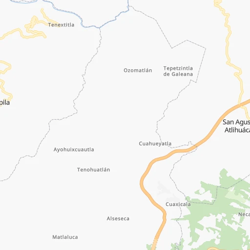
Roadmap (route) to go from Pejay to Xochimilco detailed above, you can also see the course layout on the map.
While doing trip Pejay - Xochimilco by car, the calculated route ends at a distance , or more straight.
Distance and duration of the route between Pejay and Xochimilco
Calculation of distance and route from Xochimilco to Pejay :
141.8161.6 km2h0mn
Continue 0h2mn 1.2 kmTurn sharp left 0h1mn 316 mTurn right 0h0mn 81 mTurn left 0h2mn 1.0 kmTurn right onto Calle Hidalgo 0h0mn 153 mKeep left onto Calle Hidalgo 0h1mn 282 mTurn right onto PUE 106 0h7mn 7.1 kmKeep right onto Venustiano Carranza 0h0mn 53 mTurn right onto Carretera Tulancingo - Acaxochitlán 0h3mn 2.8 kmKeep right onto MEX 132D and drive toward México Cuota 0h15mn 22.4 kmKeep left onto Venta de Carpio - T.C. (Pachuca - Túxpam) and drive toward Ciudad de México, Pirámides 1h46mn 70.1 kmKeep right and drive toward Acolman 0h0mn 293 mAt roundabout, take exit 2 onto Calzada de Los Agustinos 0h20mn 27.9 kmKeep left onto Calle Periférico 0h17mn 19.8 kmKeep left onto Anillo Periférico 0h2mn 2.8 kmKeep right and drive toward Villa Coapa 0h0mn 321 mKeep right toward EJE 1 OTE 0h0mn 17 mKeep left 0h0mn 184 mKeep right and drive toward Xochimilco, Cuemanco 0h4mn 4.7 kmMake a U-turn onto Camino a Nativitas 0h0mn 64 mArrive at destination 0h0mn 0 m
Travel from Pejay (Mexico City) to a selection of major cities.
Distances from Pejay to biggest cities in Puebla
- San Bernardino Tlaxcalancingo,20,363 inhabitants.134 km
Other major cities in country :
- Acapulco de Juarez [12], 652,136 inhabitants. 416 km
- Coyoacan [09], 628,063 inhabitants. 139 km
- Santiago de Queretaro [22], 626,495 inhabitants. 228 km
- Saltillo [07], 621,250 inhabitants. 644 km
- Tlalpan [09], 607,545 inhabitants. 143 km
- Mexicali [02], 597,099 inhabitants. 2,197 km
- Hermosillo [26], 595,811 inhabitants. 1,622 km
- Morelia [16], 592,797 inhabitants. 314 km
- Veracruz [30], 568,313 inhabitants. 248 km
- Cancun [23], 542,043 inhabitants. 1,190 km
- Santa Maria Chimalhuacan [15], 525,389 inhabitants. 117 km
- Torreon [07], 524,066 inhabitants. 795 km
- Cuauhtemoc [09], 521,348 inhabitants. 130 km
- Ciudad Lopez Mateos [15], 521,034 inhabitants. 131 km
- Toluca [15], 505,881 inhabitants. 182 km
- Reynosa [28], 498,654 inhabitants. 651 km
- Tlaquepaque [14], 493,646 inhabitants. 530 km
- Tuxtla [05], 481,128 inhabitants. 665 km
- Cuautitlan Izcalli [15], 475,179 inhabitants. 122 km
- Victoria de Durango [10], 457,140 inhabitants. 785 km
Route from Xochimilco to major cities (Mexico).
- Distance Xochimilco Ecatepec de Morelos39 km
- Distance Xochimilco Guadalajara475 km
- Distance Xochimilco Puebla98 km
- Distance Xochimilco Juarez1,571 km
- Distance Xochimilco Tijuana2,315 km
- Distance Xochimilco Ciudad Nezahualcoyotl19 km
- Distance Xochimilco Monterrey726 km
- Distance Xochimilco Leon de los Aldama340 km
- Distance Xochimilco Zapopan477 km
- Distance Xochimilco Naucalpan de Juarez29 km
- Distance Xochimilco Chihuahua1,262 km
- Distance Xochimilco Guadalupe725 km
- Distance Xochimilco Merida1,010 km
- Distance Xochimilco Tlalnepantla33 km
- Distance Xochimilco San Luis Potosi377 km
- Distance Xochimilco Culiacan1,053 km
- Distance Xochimilco Aguascalientes442 km
- Distance Xochimilco Acapulco de Juarez281 km
- Distance Xochimilco Santiago de Queretaro200 km
- Distance Xochimilco Saltillo714 km
Nearest cities to Pejay :
- Mexico City, 12,294,193 inhabitants. 130 km
- Iztapalapa, 1,820,888 inhabitants. 131 km
- Ecatepec de Morelos, 1,806,226 inhabitants. 111 km
- Puebla, 1,590,256 inhabitants. 133 km
- Ciudad Nezahualcoyotl, 1,232,220 inhabitants. 124 km
- Gustavo Adolfo Madero, 1,193,161 inhabitants. 123 km
- Naucalpan de Juarez, 846,185 inhabitants. 135 km
- Alvaro Obregon, 727,034 inhabitants. 141 km
- Tlalnepantla, 715,767 inhabitants. 127 km
- San Luis Potosi, 677,704 inhabitants. 356 km
- Coyoacan, 628,063 inhabitants. 139 km
- Santiago de Queretaro, 626,495 inhabitants. 228 km
- Tlalpan, 607,545 inhabitants. 143 km
- Morelia, 592,797 inhabitants. 314 km
- Veracruz, 568,313 inhabitants. 248 km
- Santa Maria Chimalhuacan, 525,389 inhabitants. 117 km
- Cuauhtemoc, 521,348 inhabitants. 130 km
- Ciudad Lopez Mateos, 521,034 inhabitants. 131 km
- Toluca, 505,881 inhabitants. 182 km
- Cuautitlan Izcalli, 475,179 inhabitants. 122 km
- Venustiano Carranza, 447,459 inhabitants. 127 km
- Azcapotzalco, 425,298 inhabitants. 130 km
- Xalapa de Enriquez, 425,148 inhabitants. 159 km
- Xochimilco, 404,458 inhabitants. 142 km
- Iztacalco, 384,326 inhabitants. 130 km
- Xico, 365,777 inhabitants. 131 km
- Benito Juarez, 355,017 inhabitants. 134 km
- Miguel Hidalgo, 353,534 inhabitants. 135 km
- Ixtapaluca, 351,001 inhabitants. 123 km
- Tlahuac, 344,106 inhabitants. 133 km
- Cuernavaca, 343,769 inhabitants. 179 km
- Pachuca de Soto, 319,581 inhabitants. 54 km
- Coacalco, 313,405 inhabitants. 113 km
- Tampico, 309,003 inhabitants. 228 km
- Celaya, 305,901 inhabitants. 271 km
- Los Reyes Acaquilpan, 251,168 inhabitants. 124 km
- Colonia del Valle, 250,000 inhabitants. 135 km
- Nicolas Romero, 245,383 inhabitants. 130 km
- Ojo de Agua, 242,272 inhabitants. 102 km
- Tehuacan, 241,429 inhabitants. 216 km
- Magdalena Contreras, 228,927 inhabitants. 143 km
- Buenavista, 206,081 inhabitants. 120 km
- Soledad de Graciano Sanchez, 194,006 inhabitants. 355 km
- Ciudad Madero, 192,736 inhabitants. 231 km
- Ciudad Valles, 176,935 inhabitants. 212 km
- Poza Rica de Hidalgo, 174,526 inhabitants. 87 km
- Delegacion Cuajimalpa de Morelos, 173,625 inhabitants. 147 km
- San Pablo de las Salinas, 173,557 inhabitants. 110 km
- Metepec, 172,982 inhabitants. 180 km
- Chilpancingo, 165,250 inhabitants. 327 km
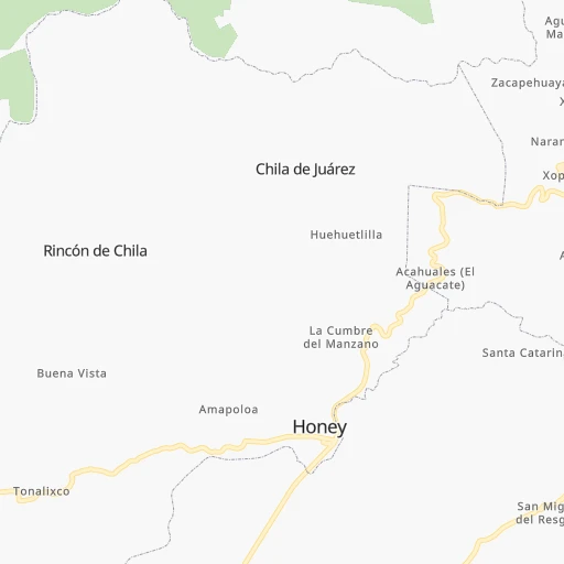
Location Pejay (Puebla) :
| Country flag |  |
| Location | Pejay |
| State | Puebla |
| County | Honey |
| Country | Mexico |
| Country code / ISO 2 | MX |
| Latitude | 20.2333300 |
| Longitude | -98.2333300 |
| Altitude | 0 meters |
| Time zone | America/Mexico_City |
Location Xochimilco (Mexico City) :
| Country flag | |
| Location | Xochimilco |
| State | Mexico City |
| County | Xochimilco |
| Country | Mexico |
| Country code / ISO 2 | MX |
| Latitude | 19.2546500 |
| Longitude | -99.1035600 |
| Altitude | 0 meters |
| Time zone | America/Mexico_City |


