

How to get from San Francisco (Tamaulipas) to San Luis de la Paz (Guanajuato)
Calculate route from San Francisco (Tamaulipas, Mexico) to San Luis de la Paz (Guanajuato, Mexico).
The flight distance (as the crow flies) between San Francisco and San Luis de la Paz is 295.7 km.
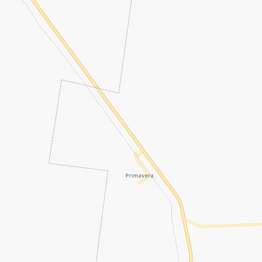
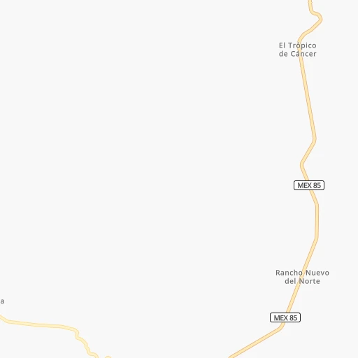
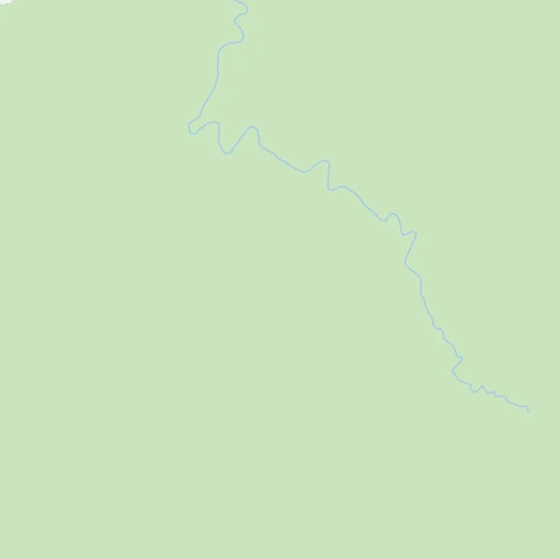
Roadmap (route) to go from San Francisco to San Luis de la Paz detailed above, you can also see the course layout on the map.
While doing trip San Francisco - San Luis de la Paz by car, the calculated route ends at a distance , or more straight.
Distance and duration of the route between San Francisco and San Luis de la Paz
Calculation of distance and route from San Luis de la Paz to San Francisco :
295.7486.1 km6h12mn
Continue 0h4mn 2.2 kmTurn right 0h4mn 1.9 kmTurn right onto Carretera Ciudad Victoria-Ignacio Zaragoza 0h10mn 12.5 kmTurn left 0h5mn 2.6 kmKeep right 0h1mn 484 mContinue 0h1mn 415 mTurn slight right 0h14mn 7.1 kmTurn sharp right onto Carretera Ciudad Victoria-Ciudad Valles 0h20mn 24.3 kmKeep left onto Carretera Ciudad Valles-Ciudad Victoria 0h0mn 188 mTurn slight right onto Carretera Ciudad Victoria-Ciudad Valles 0h0mn 494 mTurn sharp left onto Libramiento Ciudad Victoria 1h31mn 37.1 kmContinue onto Carretera Ciudad Tula-Ciudad Victoria 2h12mn 184.5 kmKeep right toward SLP 75D 0h1mn 1.1 kmContinue onto Supercarretera Cerritos-Rioverde 1h48mn 70.2 kmKeep left onto Libramiento Oriente de San Luis Potosí 0h20mn 32.9 kmKeep left 1h8mn 99.1 kmKeep right and take MEX 110 toward San Luis de la Paz, Dolores Hidalgo 0h0mn 571 mKeep left onto MEX 110 0h0mn 53 mTurn left onto MEX 110 0h4mn 4.2 kmKeep left 0h3mn 2.9 kmAt roundabout, take exit 2 onto Boulevard Sierra Gorda 0h1mn 717 mContinue onto Calle Rayón 0h2mn 728 mArrive at destination 0h0mn 0 m
Travel from San Francisco (Guanajuato) to a selection of major cities.
Distances from San Francisco to biggest cities in Tamaulipas
Other major cities in country :
- Aguascalientes [01], 658,179 inhabitants. 397 km
- Acapulco de Juarez [12], 652,136 inhabitants. 742 km
- Coyoacan [09], 628,063 inhabitants. 456 km
- Santiago de Queretaro [22], 626,495 inhabitants. 357 km
- Saltillo [07], 621,250 inhabitants. 315 km
- Tlalpan [09], 607,545 inhabitants. 462 km
- Mexicali [02], 597,099 inhabitants. 1,926 km
- Hermosillo [26], 595,811 inhabitants. 1,368 km
- Morelia [16], 592,797 inhabitants. 483 km
- Veracruz [30], 568,313 inhabitants. 548 km
- Cancun [23], 542,043 inhabitants. 1,256 km
- Santa Maria Chimalhuacan [15], 525,389 inhabitants. 447 km
- Torreon [07], 524,066 inhabitants. 524 km
- Cuauhtemoc [09], 521,348 inhabitants. 445 km
- Ciudad Lopez Mateos [15], 521,034 inhabitants. 434 km
- Toluca [15], 505,881 inhabitants. 470 km
- Tlaquepaque [14], 493,646 inhabitants. 558 km
- Tuxtla [05], 481,128 inhabitants. 951 km
- Cuautitlan Izcalli [15], 475,179 inhabitants. 424 km
- Victoria de Durango [10], 457,140 inhabitants. 600 km
Route from San Luis de la Paz to major cities (Mexico).
- Distance San Luis de la Paz Mexico City254 km
- Distance San Luis de la Paz Iztapalapa264 km
- Distance San Luis de la Paz Ecatepec de Morelos242 km
- Distance San Luis de la Paz Guadalajara307 km
- Distance San Luis de la Paz Puebla349 km
- Distance San Luis de la Paz Juarez1,302 km
- Distance San Luis de la Paz Tijuana2,053 km
- Distance San Luis de la Paz Ciudad Nezahualcoyotl263 km
- Distance San Luis de la Paz Gustavo Adolfo Madero249 km
- Distance San Luis de la Paz Monterrey488 km
- Distance San Luis de la Paz Zapopan305 km
- Distance San Luis de la Paz Naucalpan de Juarez242 km
- Distance San Luis de la Paz Chihuahua991 km
- Distance San Luis de la Paz Alvaro Obregon256 km
- Distance San Luis de la Paz Guadalupe488 km
- Distance San Luis de la Paz Merida1,132 km
- Distance San Luis de la Paz Tlalnepantla239 km
- Distance San Luis de la Paz San Luis Potosi106 km
- Distance San Luis de la Paz Culiacan804 km
- Distance San Luis de la Paz Aguascalientes194 km
Nearest cities to San Francisco :
- Monterrey, 1,122,874 inhabitants. 293 km
- Leon de los Aldama, 1,114,626 inhabitants. 392 km
- Guadalupe, 724,921 inhabitants. 290 km
- San Luis Potosi, 677,704 inhabitants. 265 km
- Santiago de Queretaro, 626,495 inhabitants. 357 km
- Saltillo, 621,250 inhabitants. 315 km
- Reynosa, 498,654 inhabitants. 299 km
- Heroica Matamoros, 449,815 inhabitants. 302 km
- San Nicolas de los Garza, 443,273 inhabitants. 299 km
- Ciudad Apodaca, 352,064 inhabitants. 297 km
- Irapuato, 339,554 inhabitants. 405 km
- Tampico, 309,003 inhabitants. 165 km
- Ciudad General Escobedo, 308,206 inhabitants. 305 km
- Celaya, 305,901 inhabitants. 385 km
- Ciudad Victoria, 269,923 inhabitants. 49 km
- Santa Catarina, 254,472 inhabitants. 301 km
- Soledad de Graciano Sanchez, 194,006 inhabitants. 259 km
- Ciudad Madero, 192,736 inhabitants. 163 km
- Ciudad Valles, 176,935 inhabitants. 161 km
- Poza Rica de Hidalgo, 174,526 inhabitants. 351 km
- Salamanca, 138,614 inhabitants. 403 km
- Tuxpam de Rodriguez Cano, 134,394 inhabitants. 311 km
- San Pedro Garza Garcia, 130,646 inhabitants. 297 km
- San Pedro Garza Garcia, 122,009 inhabitants. 296 km
- Tantoyuca, 103,610 inhabitants. 239 km
- Temapache, 101,558 inhabitants. 289 km
- Ciudad Rio Bravo, 85,481 inhabitants. 293 km
- Ciudad Mante, 79,981 inhabitants. 79 km
- Guanajuato, 78,364 inhabitants. 369 km
- San Miguel de Allende, 69,811 inhabitants. 345 km
- Cadereyta, 67,994 inhabitants. 268 km
- Matehuala, 67,717 inhabitants. 190 km
- Miramar, 67,689 inhabitants. 157 km
- Silao, 65,195 inhabitants. 387 km
- Dolores Hidalgo Cuna de la Independencia Nacional, 59,240 inhabitants. 335 km
- Linares, 57,731 inhabitants. 177 km
- Cortazar, 56,360 inhabitants. 397 km
- Altamira, 54,954 inhabitants. 146 km
- Jardines de la Silla (Jardines), 53,742 inhabitants. 282 km
- Rioverde, 48,854 inhabitants. 207 km
- Papantla de Olarte, 47,958 inhabitants. 366 km
- Valle Hermoso, 47,831 inhabitants. 268 km
- San Luis de la Paz, 47,321 inhabitants. 296 km
- Huejutla de Reyes, 40,015 inhabitants. 258 km
- Ramos Arizpe, 38,258 inhabitants. 320 km
- Juventino Rosas, 38,198 inhabitants. 384 km
- Montemorelos, 37,694 inhabitants. 222 km
- Santiago, 35,968 inhabitants. 261 km
- Panuco, 35,316 inhabitants. 166 km
- Fraccionamiento Real Palmas, 34,636 inhabitants. 308 km
Location San Francisco (Tamaulipas) :
| Country flag |  |
| Location | San Francisco |
| State | Tamaulipas |
| County | Casas |
| Country | Mexico |
| Country code / ISO 2 | MX |
| Latitude | 23.4333300 |
| Longitude | -98.8000000 |
| Altitude | 0 meters |
| Time zone | America/Monterrey |
Location San Luis de la Paz (Guanajuato) :
| Country flag | |
| Location | San Luis de la Paz |
| State | Guanajuato |
| County | San Luis de la Paz |
| Country | Mexico |
| Country code / ISO 2 | MX |
| Latitude | 21.2977100 |
| Longitude | -100.5173600 |
| Altitude | 0 meters |
| Time zone | America/Mexico_City |


