
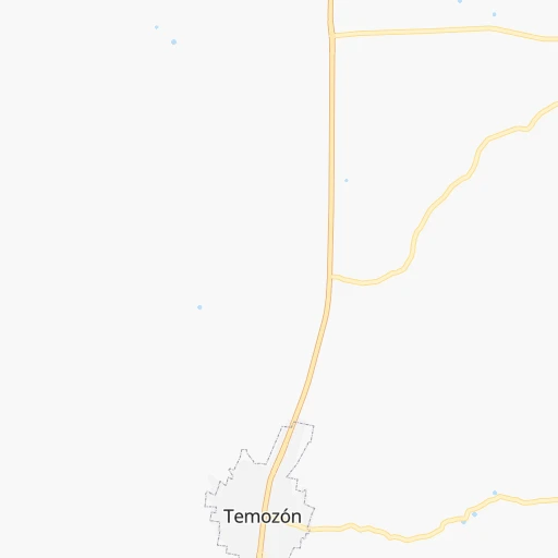
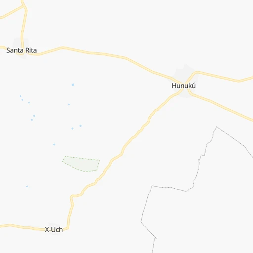
How to get from Temozon (Yucatán) to Hunucmá (Yucatán)
Calculate route from Temozon (Yucatán, Mexico) to Hunucmá (Yucatán, Mexico).
The flight distance (as the crow flies) between Temozon and Hunucmá is 175.4 km.
Roadmap (route) to go from Temozon to Hunucmá detailed above, you can also see the course layout on the map.
While doing trip Temozon - Hunucmá by car, the calculated route ends at a distance , or more straight.
Distance and duration of the route between Temozon and Hunucmá
Calculation of distance and route from Hunucmá to Temozon :
175.4191.9 km2h27mn
Continue onto Calle 10 A 0h0mn 121 mTurn left onto Calle 13 0h0mn 58 mTurn right onto Calle 10 0h6mn 6.6 kmKeep right and take MEX 180D toward Merida, Chichen Itza 2h43mn 149.7 kmAt roundabout, take exit 2 onto Avenida Quetzalcóatl 0h9mn 7.3 kmTurn right onto Calle 76 0h1mn 427 mTurn left onto Calle 59 A 0h2mn 845 mContinue onto Avenida Jacinto Canek 0h4mn 4.1 kmAt roundabout, take exit 2 onto Calle 23 0h1mn 1.2 kmAt roundabout, take exit 3 onto Calle 23 0h0mn 540 mAt roundabout, take exit 2 onto Calle 23 0h0mn 515 mAt roundabout, take exit 2 onto Calle 23 0h19mn 20.2 kmTurn left onto Calle 28 0h1mn 477 mTurn right onto Calle 27 0h0mn 28 mArrive at destination 0h0mn 0 m
Travel from Temozon (Yucatán) to a selection of major cities.
Distances from Temozon to biggest cities in Yucatán
Other major cities in country :
- Acapulco de Juarez [12], 652,136 inhabitants. 1,309 km
- Coyoacan [09], 628,063 inhabitants. 1,157 km
- Santiago de Queretaro [22], 626,495 inhabitants. 1,269 km
- Saltillo [07], 621,250 inhabitants. 1,407 km
- Tlalpan [09], 607,545 inhabitants. 1,158 km
- Mexicali [02], 597,099 inhabitants. 3,000 km
- Hermosillo [26], 595,811 inhabitants. 2,472 km
- Morelia [16], 592,797 inhabitants. 1,361 km
- Veracruz [30], 568,313 inhabitants. 850 km
- Cancun [23], 542,043 inhabitants. 147 km
- Santa Maria Chimalhuacan [15], 525,389 inhabitants. 1,134 km
- Torreon [07], 524,066 inhabitants. 1,643 km
- Cuauhtemoc [09], 521,348 inhabitants. 1,154 km
- Ciudad Lopez Mateos [15], 521,034 inhabitants. 1,163 km
- Toluca [15], 505,881 inhabitants. 1,209 km
- Reynosa [28], 498,654 inhabitants. 1,185 km
- Tlaquepaque [14], 493,646 inhabitants. 1,571 km
- Tuxtla [05], 481,128 inhabitants. 686 km
- Cuautitlan Izcalli [15], 475,179 inhabitants. 1,158 km
- Victoria de Durango [10], 457,140 inhabitants. 1,730 km
Route from Hunucmá to major cities (Mexico).
- Distance Hunucmá Mexico City982 km
- Distance Hunucmá Iztapalapa977 km
- Distance Hunucmá Ecatepec de Morelos972 km
- Distance Hunucmá Guadalajara1,406 km
- Distance Hunucmá Puebla898 km
- Distance Hunucmá Juarez2,034 km
- Distance Hunucmá Tijuana2,972 km
- Distance Hunucmá Ciudad Nezahualcoyotl971 km
- Distance Hunucmá Gustavo Adolfo Madero979 km
- Distance Hunucmá Monterrey1,186 km
- Distance Hunucmá Leon de los Aldama1,225 km
- Distance Hunucmá Zapopan1,405 km
- Distance Hunucmá Naucalpan de Juarez993 km
- Distance Hunucmá Chihuahua1,842 km
- Distance Hunucmá Alvaro Obregon992 km
- Distance Hunucmá Guadalupe1,180 km
- Distance Hunucmá Tlalnepantla987 km
- Distance Hunucmá San Luis Potosi1,156 km
- Distance Hunucmá Culiacan1,843 km
- Distance Hunucmá Aguascalientes1,289 km
Nearest cities to Temozon :
- Merida, 717,175 inhabitants. 148 km
- Cancun, 542,043 inhabitants. 147 km
- Campeche, 205,212 inhabitants. 265 km
- Chetumal, 134,412 inhabitants. 255 km
- Playa del Carmen, 100,383 inhabitants. 118 km
- Kanasin, 77,240 inhabitants. 142 km
- Cozumel, 73,934 inhabitants. 135 km
- Progreso, 47,124 inhabitants. 161 km
- Tizimin, 41,993 inhabitants. 38 km
- Valladolid, 39,663 inhabitants. 13 km
- Ticul, 30,282 inhabitants. 146 km
- Uman, 28,472 inhabitants. 161 km
- Escarcega, 28,159 inhabitants. 362 km
- Champoton, 24,809 inhabitants. 309 km
- Felipe Carrillo Puerto, 23,109 inhabitants. 137 km
- Tecax, 22,806 inhabitants. 131 km
- Hunucma, 22,288 inhabitants. 176 km
- Oxkutzkab, 21,508 inhabitants. 138 km
- Motul, 21,109 inhabitants. 117 km
- Chichen-Itza, 18,000 inhabitants. 41 km
- Peto, 17,607 inhabitants. 106 km
- Izamal, 14,954 inhabitants. 86 km
- Calkini, 14,195 inhabitants. 199 km
- Isla Mujeres, 12,491 inhabitants. 160 km
- Maxcanu, 11,930 inhabitants. 189 km
- Bacalar, 11,513 inhabitants. 237 km
- Muna, 11,363 inhabitants. 161 km
- Dzitbalche, 10,902 inhabitants. 201 km
- Chemax, 10,596 inhabitants. 32 km
- Tixkokob, 10,228 inhabitants. 126 km
- Hecelchakan, 10,153 inhabitants. 213 km
- Alfredo V. Bonfil, 10,153 inhabitants. 144 km
- Espita, 9,960 inhabitants. 26 km
- Acanceh, 9,892 inhabitants. 130 km
- Akil, 9,858 inhabitants. 134 km
- Tzucacab, 9,819 inhabitants. 120 km
- Halacho, 9,165 inhabitants. 199 km
- Seybaplaya, 8,884 inhabitants. 290 km
- Tekit, 8,852 inhabitants. 122 km
- Tekoh, 8,700 inhabitants. 133 km
- Tulum, 8,390 inhabitants. 101 km
- Dzidzantun, 8,301 inhabitants. 100 km
- Pomuch, 7,838 inhabitants. 219 km
- Seye, 7,834 inhabitants. 122 km
- Kantunilkin, 7,205 inhabitants. 81 km
- Buctzotz, 7,162 inhabitants. 76 km
- Hopelchen, 7,021 inhabitants. 208 km
- Becal, 6,894 inhabitants. 194 km
- Tenabo, 6,814 inhabitants. 228 km
- Cacalchen, 6,671 inhabitants. 108 km
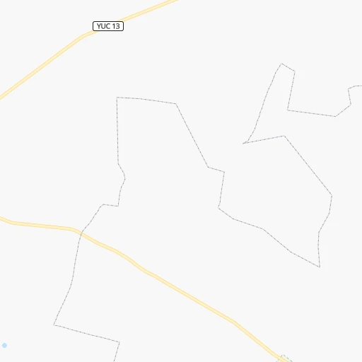
Location Temozon (Yucatán) :
| Country flag |  |
| Location | Temozon |
| State | Yucatán |
| County | Temozón |
| Country | Mexico |
| Country code / ISO 2 | MX |
| Latitude | 20.8039300 |
| Longitude | -88.2015500 |
| Altitude | 0 meters |
| Time zone | America/Merida |
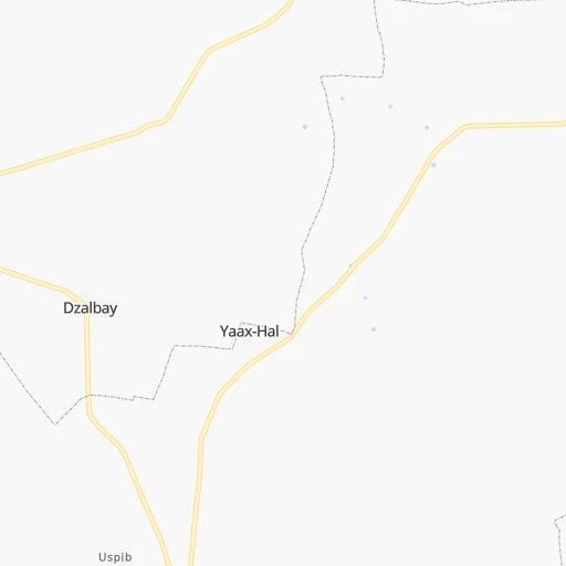
Location Hunucmá (Yucatán) :
| Country flag | |
| Location | Hunucmá |
| State | Yucatán |
| County | Hunucmá |
| Country | Mexico |
| Country code / ISO 2 | MX |
| Latitude | 21.0172300 |
| Longitude | -89.8755100 |
| Altitude | 0 meters |
| Time zone | America/Merida |