

How to get from Tezontepec de Aldama (Hidalgo) to Coyoacán (Mexico City)
Calculate route from Tezontepec de Aldama (Hidalgo, Mexico) to Coyoacán (Mexico City, Mexico).
The flight distance (as the crow flies) between Tezontepec de Aldama and Coyoacán is 94.5 km.
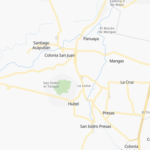
Roadmap (route) to go from Tezontepec de Aldama to Coyoacán detailed above, you can also see the course layout on the map.
While doing trip Tezontepec de Aldama - Coyoacán by car, the calculated route ends at a distance , or more straight.
Distance and duration of the route between Tezontepec de Aldama and Coyoacán
Calculation of distance and route from Coyoacán to Tezontepec de Aldama :
94.5104.6 km2h38mn
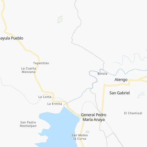
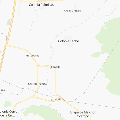
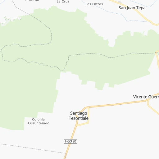
Continue onto Calle Emiliano Zapata 0h0mn 149 mTurn sharp left onto General Pedro María Anaya- Tezontepec de Aldama 0h0mn 12 mKeep right onto Calle Benito Juárez 0h0mn 185 mTurn right onto General Pedro María Anaya- Tezontepec de Aldama 0h4mn 4.0 kmContinue onto Calle Ignacio Altamirano 0h3mn 2.5 kmTurn left onto Avenida Revolución 0h0mn 134 mTurn right onto Calle Primero de Enero de 1970 0h0mn 26 mTurn left onto Calle Sánchez Vite 0h1mn 376 mTurn right onto Avenida Sergio Buitrón Casas 0h1mn 1.4 kmTurn left onto Avenida San Francisco 0h0mn 178 mKeep right onto Calle Francisco I. Madero 0h0mn 41 mTurn slight left onto Calle San Francisco 0h0mn 211 mTurn right onto Avenida Vicente Guerrero 0h4mn 4.7 kmTurn right onto Calle Plaza Juárez 0h0mn 109 mTurn left onto Calle Allende 0h0mn 75 mTurn left onto Calle Plaza Juárez 0h0mn 64 mTurn right onto Avenida Reforma 0h3mn 3.6 kmTurn right onto Calle 16 de Enero 0h1mn 599 mTurn left onto Calle Mariano Matamoros 0h1mn 1.2 kmContinue onto Calle Matamoros 0h2mn 1.7 kmTurn right 0h0mn 311 mTurn left onto Avenida Pedro María Anaya 0h4mn 2.0 kmTurn right onto Avenida del Trabajo 0h0mn 393 mTurn left onto Entrada Tula-Jorobas 0h10mn 11.5 kmKeep right toward MEX 87 0h1mn 694 mKeep right 0h0mn 181 mKeep left 0h4mn 3.9 kmKeep right toward MEX 87 0h0mn 497 mKeep right toward MEX 87 0h3mn 3.1 kmKeep right 0h3mn 2.6 kmTurn sharp left toward MEX 57D 0h18mn 24.7 kmKeep right and drive toward Coacalco 0h0mn 435 mKeep right 0h0mn 391 mKeep left 0h0mn 33 mTurn right 0h0mn 140 mTurn right onto Avenida Lecheria Cuautitlán 0h6mn 6.1 kmTurn left onto Calle Fernando Montes de Oca 0h2mn 1.5 kmTurn left onto Avenida Río Lerma 0h0mn 368 mTurn right onto Avenida Ayuntamiento 0h2mn 1.8 kmTurn right onto Avenida Ixtacala 0h3mn 2.9 kmContinue onto Avenida Licenciado Andrés Hernestrosa 0h2mn 2.0 kmTurn left onto Avenida Aquiles Serdán 0h3mn 5.2 kmKeep right onto Calzada General Mariano Escobedo 0h4mn 3.6 kmTurn sharp left onto Avenida Constituyentes 0h0mn 55 mTurn slight right onto Calle Juan Escutia 0h1mn 835 mTurn right onto Avenida Nuevo León 0h2mn 1.5 kmKeep left onto Avenida División del Norte 0h1mn 1.0 kmContinue onto Avenida División del Norte 0h2mn 1.6 kmKeep left onto Avenida División del Norte 0h0mn 49 mTurn right onto Avenida Cuauhtémoc 0h4mn 3.6 kmTurn left onto Calle Presidente Venustiano Carranza 0h1mn 316 mArrive at destination 0h0mn 0 m
Travel from Tezontepec de Aldama (Mexico City) to a selection of major cities.
Distances from Tezontepec de Aldama to biggest cities in Hidalgo
Other major cities in country :
- Aguascalientes [01], 658,179 inhabitants. 365 km
- Acapulco de Juarez [12], 652,136 inhabitants. 378 km
- Coyoacan [09], 628,063 inhabitants. 95 km
- Santiago de Queretaro [22], 626,495 inhabitants. 124 km
- Saltillo [07], 621,250 inhabitants. 609 km
- Tlalpan [09], 607,545 inhabitants. 100 km
- Mexicali [02], 597,099 inhabitants. 2,121 km
- Hermosillo [26], 595,811 inhabitants. 1,543 km
- Morelia [16], 592,797 inhabitants. 207 km
- Veracruz [30], 568,313 inhabitants. 347 km
- Cancun [23], 542,043 inhabitants. 1,299 km
- Santa Maria Chimalhuacan [15], 525,389 inhabitants. 92 km
- Torreon [07], 524,066 inhabitants. 732 km
- Cuauhtemoc [09], 521,348 inhabitants. 84 km
- Ciudad Lopez Mateos [15], 521,034 inhabitants. 70 km
- Toluca [15], 505,881 inhabitants. 108 km
- Reynosa [28], 498,654 inhabitants. 663 km
- Tlaquepaque [14], 493,646 inhabitants. 422 km
- Tuxtla [05], 481,128 inhabitants. 754 km
- Cuautitlan Izcalli [15], 475,179 inhabitants. 61 km
Route from Coyoacán to major cities (Mexico).
- Distance Coyoacán Ecatepec de Morelos31 km
- Distance Coyoacán Guadalajara466 km
- Distance Coyoacán Puebla106 km
- Distance Coyoacán Juarez1,559 km
- Distance Coyoacán Tijuana2,304 km
- Distance Coyoacán Ciudad Nezahualcoyotl17 km
- Distance Coyoacán Monterrey714 km
- Distance Coyoacán Leon de los Aldama329 km
- Distance Coyoacán Zapopan467 km
- Distance Coyoacán Naucalpan de Juarez17 km
- Distance Coyoacán Chihuahua1,250 km
- Distance Coyoacán Guadalupe714 km
- Distance Coyoacán Merida1,014 km
- Distance Coyoacán Tlalnepantla22 km
- Distance Coyoacán San Luis Potosi365 km
- Distance Coyoacán Culiacan1,042 km
- Distance Coyoacán Aguascalientes431 km
- Distance Coyoacán Acapulco de Juarez289 km
- Distance Coyoacán Santiago de Queretaro189 km
- Distance Coyoacán Saltillo703 km
Nearest cities to Tezontepec de Aldama :
- Mexico City, 12,294,193 inhabitants. 86 km
- Iztapalapa, 1,820,888 inhabitants. 96 km
- Ecatepec de Morelos, 1,806,226 inhabitants. 69 km
- Puebla, 1,590,256 inhabitants. 171 km
- Ciudad Nezahualcoyotl, 1,232,220 inhabitants. 92 km
- Gustavo Adolfo Madero, 1,193,161 inhabitants. 79 km
- Leon de los Aldama, 1,114,626 inhabitants. 271 km
- Naucalpan de Juarez, 846,185 inhabitants. 79 km
- Alvaro Obregon, 727,034 inhabitants. 93 km
- Tlalnepantla, 715,767 inhabitants. 73 km
- San Luis Potosi, 677,704 inhabitants. 281 km
- Coyoacan, 628,063 inhabitants. 95 km
- Santiago de Queretaro, 626,495 inhabitants. 124 km
- Tlalpan, 607,545 inhabitants. 100 km
- Morelia, 592,797 inhabitants. 207 km
- Santa Maria Chimalhuacan, 525,389 inhabitants. 92 km
- Cuauhtemoc, 521,348 inhabitants. 84 km
- Ciudad Lopez Mateos, 521,034 inhabitants. 70 km
- Toluca, 505,881 inhabitants. 108 km
- Cuautitlan Izcalli, 475,179 inhabitants. 61 km
- Venustiano Carranza, 447,459 inhabitants. 85 km
- Azcapotzalco, 425,298 inhabitants. 79 km
- Xalapa de Enriquez, 425,148 inhabitants. 258 km
- Xochimilco, 404,458 inhabitants. 106 km
- Iztacalco, 384,326 inhabitants. 90 km
- Xico, 365,777 inhabitants. 108 km
- Benito Juarez, 355,017 inhabitants. 89 km
- Miguel Hidalgo, 353,534 inhabitants. 85 km
- Ixtapaluca, 351,001 inhabitants. 106 km
- Tlahuac, 344,106 inhabitants. 104 km
- Cuernavaca, 343,769 inhabitants. 141 km
- Irapuato, 339,554 inhabitants. 224 km
- Pachuca de Soto, 319,581 inhabitants. 57 km
- Coacalco, 313,405 inhabitants. 65 km
- Tampico, 309,003 inhabitants. 273 km
- Celaya, 305,901 inhabitants. 165 km
- Los Reyes Acaquilpan, 251,168 inhabitants. 97 km
- Colonia del Valle, 250,000 inhabitants. 90 km
- Nicolas Romero, 245,383 inhabitants. 61 km
- Ojo de Agua, 242,272 inhabitants. 63 km
- Tehuacan, 241,429 inhabitants. 275 km
- Uruapan, 237,308 inhabitants. 304 km
- Magdalena Contreras, 228,927 inhabitants. 96 km
- Buenavista, 206,081 inhabitants. 66 km
- Soledad de Graciano Sanchez, 194,006 inhabitants. 282 km
- Ciudad Madero, 192,736 inhabitants. 276 km
- Ciudad Valles, 176,935 inhabitants. 203 km
- Poza Rica de Hidalgo, 174,526 inhabitants. 193 km
- Delegacion Cuajimalpa de Morelos, 173,625 inhabitants. 91 km
- San Pablo de las Salinas, 173,557 inhabitants. 61 km
Location Tezontepec de Aldama (Hidalgo) :
| Country flag |  |
| Location | Tezontepec de Aldama |
| State | Hidalgo |
| County | Tezontepec de Aldama |
| Country | Mexico |
| Country code / ISO 2 | MX |
| Latitude | 20.1907300 |
| Longitude | -99.2742900 |
| Altitude | 0 meters |
| Time zone | America/Mexico_City |
Location Coyoacán (Mexico City) :
| Country flag | |
| Location | Coyoacán |
| State | Mexico City |
| County | Coyoacán |
| Country | Mexico |
| Country code / ISO 2 | MX |
| Latitude | 19.3467000 |
| Longitude | -99.1617400 |
| Altitude | 0 meters |
| Time zone | America/Mexico_City |


