


How to get from Ticumán (Morelos) to Xico (México)
Calculate route from Ticumán (Morelos, Mexico) to Xico (México, Mexico).
The flight distance (as the crow flies) between Ticumán and Xico is 60.4 km.
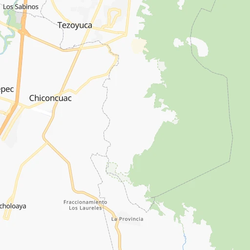
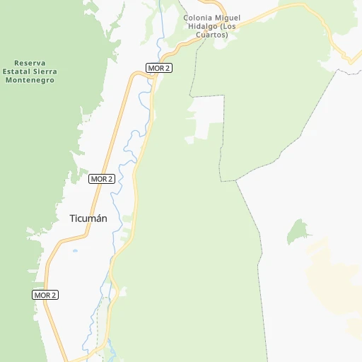
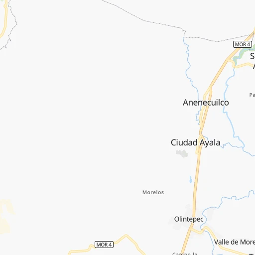
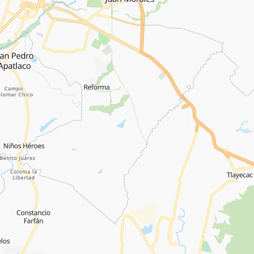
Roadmap (route) to go from Ticumán to Xico detailed above, you can also see the course layout on the map.
While doing trip Ticumán - Xico by car, the calculated route ends at a distance , or more straight.
Distance and duration of the route between Ticumán and Xico
Calculation of distance and route from Xico to Ticumán :
60.481.3 km2h42mn
Continue 0h6mn 5.3 kmContinue onto Carretera Yautepec-Tlaltizapán 0h2mn 1.9 kmTurn left 0h1mn 518 mTurn slight right 0h1mn 585 mTurn left onto Carretera Yautepec-Tlaltizapán 0h9mn 9.2 kmTurn right onto Calle Buenavista 0h3mn 2.6 kmTurn left 0h2mn 1.9 kmTurn sharp left 0h0mn 397 mTurn right onto Avenida del Recreo 0h0mn 108 mTurn left 0h4mn 2.1 kmKeep right 0h2mn 929 mTurn sharp right 0h3mn 1.4 kmTurn slight left onto Libramiento Oaxtepec 0h0mn 81 mKeep left 0h1mn 497 mTurn slight right onto Carretera Jojutla 0h2mn 1.6 kmTurn left onto Calle Amate 0h0mn 179 mTurn right onto Calle Potrero 0h0mn 189 mTurn left onto Calle Cedro 0h1mn 437 mTurn slight right onto Calle 3 de Mayo 0h1mn 302 mTurn left onto Calle Oaxtepec 0h1mn 700 mTurn slight left onto Calle Principal 0h0mn 73 mContinue onto Calle Principal 0h1mn 472 mTurn left onto Calle Michoacán 0h0mn 60 mTurn slight left onto Carretera a Oaxtepec 0h2mn 2.0 kmTurn slight right onto Calle Ignacio Zaragoza 0h3mn 2.2 kmTurn left onto Calle Emiliano Zapata 0h4mn 3.0 kmTurn right 0h0mn 416 mTurn right onto Calle Porfirio Díaz 0h0mn 47 mTurn left onto Calle Morelos 0h0mn 354 mTurn left 0h3mn 2.7 kmTurn sharp right onto Carretera San Gregorio - Oaxtepec 0h1mn 579 mTurn left onto Avenida 16 de Septiembre 0h0mn 157 mTurn left onto Calle Francisco I. Madero 0h0mn 69 mTurn right onto Calle 5 de Mayo 0h0mn 50 mTurn left onto Calle del Trabajo 0h0mn 92 mTurn slight left onto Calle del Trabajo 0h5mn 2.4 kmTurn sharp right 0h0mn 27 mTurn sharp left onto Carretera San Gregorio - Oaxtepec 0h16mn 14.5 kmTurn right 0h11mn 8.9 kmTurn right 0h1mn 1.0 kmTurn right onto Avenida Hernán Cortés 0h0mn 467 mTurn left onto Jazmín 0h2mn 2.4 kmKeep right onto Carretera Mixquic-Chalco 0h1mn 735 mTurn left onto Calle Progreso 0h3mn 1.7 kmTurn right onto Calle Río Ameca 0h1mn 533 mTurn left 0h0mn 113 mTurn right onto Calzada Chalco - Tláhuac 0h0mn 208 mMake a U-turn onto Calzada Chalco - Tláhuac 0h3mn 2.8 kmTurn right onto Calle Emiliano Zapata 0h1mn 1.4 kmTurn left onto Poniente 4B 0h1mn 481 mTurn left onto Avenida Cuitláhuac 0h0mn 332 mTurn right onto Calle Poniente 8 0h0mn 90 mArrive at destination 0h0mn 0 m
Travel from Ticumán (México) to a selection of major cities.
Distances from Ticumán to biggest cities in Morelos
Other major cities in country :
- Aguascalientes [01], 658,179 inhabitants. 480 km
- Acapulco de Juarez [12], 652,136 inhabitants. 228 km
- Coyoacan [09], 628,063 inhabitants. 67 km
- Santiago de Queretaro [22], 626,495 inhabitants. 244 km
- Saltillo [07], 621,250 inhabitants. 768 km
- Tlalpan [09], 607,545 inhabitants. 61 km
- Mexicali [02], 597,099 inhabitants. 2,247 km
- Hermosillo [26], 595,811 inhabitants. 1,667 km
- Morelia [16], 592,797 inhabitants. 242 km
- Veracruz [30], 568,313 inhabitants. 317 km
- Cancun [23], 542,043 inhabitants. 1,311 km
- Santa Maria Chimalhuacan [15], 525,389 inhabitants. 77 km
- Torreon [07], 524,066 inhabitants. 877 km
- Cuauhtemoc [09], 521,348 inhabitants. 77 km
- Ciudad Lopez Mateos [15], 521,034 inhabitants. 91 km
- Toluca [15], 505,881 inhabitants. 82 km
- Reynosa [28], 498,654 inhabitants. 820 km
- Tlaquepaque [14], 493,646 inhabitants. 486 km
- Tuxtla [05], 481,128 inhabitants. 674 km
- Cuautitlan Izcalli [15], 475,179 inhabitants. 100 km
Route from Xico to major cities (Mexico).
- Distance Xico Mexico City26 km
- Distance Xico Iztapalapa15 km
- Distance Xico Guadalajara490 km
- Distance Xico Puebla83 km
- Distance Xico Juarez1,577 km
- Distance Xico Tijuana2,326 km
- Distance Xico Gustavo Adolfo Madero30 km
- Distance Xico Monterrey727 km
- Distance Xico Leon de los Aldama352 km
- Distance Xico Zapopan491 km
- Distance Xico Chihuahua1,270 km
- Distance Xico Alvaro Obregon28 km
- Distance Xico Guadalupe726 km
- Distance Xico Merida994 km
- Distance Xico San Luis Potosi384 km
- Distance Xico Culiacan1,065 km
- Distance Xico Aguascalientes453 km
- Distance Xico Acapulco de Juarez288 km
- Distance Xico Coyoacan24 km
- Distance Xico Santiago de Queretaro210 km
Nearest cities to Ticumán :
- Mexico City, 12,294,193 inhabitants. 76 km
- Iztapalapa, 1,820,888 inhabitants. 68 km
- Ecatepec de Morelos, 1,806,226 inhabitants. 95 km
- Puebla, 1,590,256 inhabitants. 101 km
- Ciudad Nezahualcoyotl, 1,232,220 inhabitants. 73 km
- Gustavo Adolfo Madero, 1,193,161 inhabitants. 83 km
- Leon de los Aldama, 1,114,626 inhabitants. 376 km
- Naucalpan de Juarez, 846,185 inhabitants. 82 km
- Alvaro Obregon, 727,034 inhabitants. 68 km
- Tlalnepantla, 715,767 inhabitants. 88 km
- Acapulco de Juarez, 652,136 inhabitants. 228 km
- Coyoacan, 628,063 inhabitants. 67 km
- Santiago de Queretaro, 626,495 inhabitants. 244 km
- Tlalpan, 607,545 inhabitants. 61 km
- Morelia, 592,797 inhabitants. 242 km
- Veracruz, 568,313 inhabitants. 317 km
- Santa Maria Chimalhuacan, 525,389 inhabitants. 77 km
- Cuauhtemoc, 521,348 inhabitants. 77 km
- Ciudad Lopez Mateos, 521,034 inhabitants. 91 km
- Toluca, 505,881 inhabitants. 82 km
- Cuautitlan Izcalli, 475,179 inhabitants. 100 km
- Venustiano Carranza, 447,459 inhabitants. 77 km
- Azcapotzalco, 425,298 inhabitants. 82 km
- Xalapa de Enriquez, 425,148 inhabitants. 247 km
- Xochimilco, 404,458 inhabitants. 56 km
- Iztacalco, 384,326 inhabitants. 72 km
- Xico, 365,777 inhabitants. 60 km
- Benito Juarez, 355,017 inhabitants. 72 km
- Miguel Hidalgo, 353,534 inhabitants. 77 km
- Ixtapaluca, 351,001 inhabitants. 68 km
- Tlahuac, 344,106 inhabitants. 61 km
- Cuernavaca, 343,769 inhabitants. 23 km
- Irapuato, 339,554 inhabitants. 318 km
- Pachuca de Soto, 319,581 inhabitants. 157 km
- Coacalco, 313,405 inhabitants. 98 km
- Celaya, 305,901 inhabitants. 266 km
- Oaxaca, 262,566 inhabitants. 315 km
- Los Reyes Acaquilpan, 251,168 inhabitants. 70 km
- Colonia del Valle, 250,000 inhabitants. 71 km
- Nicolas Romero, 245,383 inhabitants. 101 km
- Ojo de Agua, 242,272 inhabitants. 104 km
- Tehuacan, 241,429 inhabitants. 184 km
- Uruapan, 237,308 inhabitants. 318 km
- Magdalena Contreras, 228,927 inhabitants. 66 km
- Buenavista, 206,081 inhabitants. 96 km
- Poza Rica de Hidalgo, 174,526 inhabitants. 264 km
- Delegacion Cuajimalpa de Morelos, 173,625 inhabitants. 71 km
- San Pablo de las Salinas, 173,557 inhabitants. 102 km
- Metepec, 172,982 inhabitants. 76 km
- Chilpancingo, 165,250 inhabitants. 140 km
Location Ticumán (Morelos) :
| Country flag |  |
| Location | Ticumán |
| State | Morelos |
| County | Tlaltizapán de Zapata |
| Country | Mexico |
| Country code / ISO 2 | MX |
| Latitude | 18.7500000 |
| Longitude | -99.1166700 |
| Altitude | 0 meters |
| Time zone | America/Mexico_City |
Location Xico (México) :
| Country flag | |
| Location | Xico |
| State | México |
| County | Valle de Chalco Solidaridad |
| Country | Mexico |
| Country code / ISO 2 | MX |
| Latitude | 19.2703200 |
| Longitude | -98.9508800 |
| Altitude | 0 meters |
| Time zone | America/Mexico_City |


