
How to get from Estación Papagayo (San Luis Potosí) to Rioverde (San Luis Potosí)
Calculate route from Estación Papagayo (San Luis Potosí, Mexico) to Rioverde (San Luis Potosí, Mexico).
The flight distance (as the crow flies) between Estación Papagayo and Rioverde is 88.7 km.
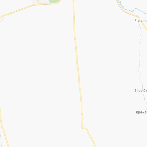
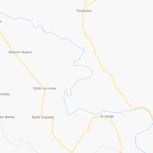
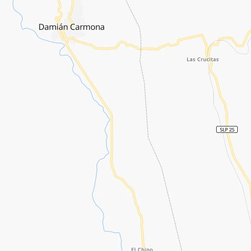
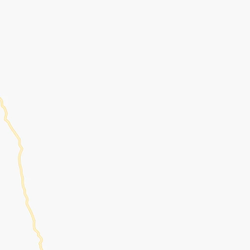
Roadmap (route) to go from Estación Papagayo to Rioverde detailed above, you can also see the course layout on the map.
While doing trip Estación Papagayo - Rioverde by car, the calculated route ends at a distance , or more straight.
Distance and duration of the route between Estación Papagayo and Rioverde
Calculation of distance and route from Rioverde to Estación Papagayo :
88.7126.3 km2h49mn
Continue 0h1mn 343 mTurn right onto Carretera Coyoles-Estación 500-La Hincada-El Naranjo 0h11mn 9.9 kmTurn right 0h5mn 2.3 kmTurn left 0h2mn 1.5 kmTurn sharp right 0h1mn 360 mTurn right onto Carretera Ciudad Valles-San Luis Potosí 0h1mn 1.5 kmKeep right and take MEX 70D toward Rio Verde - Cuota 0h1mn 867 mContinue onto Autopista de Peaje Rayón-Ciudad Valles 1h24mn 107.4 kmTurn right onto Avenida Insurgentes 0h1mn 799 mTurn left 0h0mn 180 mTurn right onto 1ro. de Mayo 0h0mn 67 mTurn left onto Prolongación José Maríano Jiménez 0h2mn 1.0 kmTurn right onto Calle Licenciado Benito Juárez García 0h0mn 62 mTurn right onto Calle Doctor Javier Gallardo 0h0mn 138 mArrive at destination 0h0mn 0 m
Travel from Estación Papagayo (San Luis Potosí) to a selection of major cities.
Distances from Estación Papagayo to biggest cities in San Luis Potosí
Other major cities in country :
- Acapulco de Juarez [12], 652,136 inhabitants. 588 km
- Coyoacan [09], 628,063 inhabitants. 305 km
- Santiago de Queretaro [22], 626,495 inhabitants. 210 km
- Saltillo [07], 621,250 inhabitants. 417 km
- Tlalpan [09], 607,545 inhabitants. 310 km
- Mexicali [02], 597,099 inhabitants. 1,990 km
- Hermosillo [26], 595,811 inhabitants. 1,420 km
- Morelia [16], 592,797 inhabitants. 339 km
- Veracruz [30], 568,313 inhabitants. 450 km
- Cancun [23], 542,043 inhabitants. 1,277 km
- Santa Maria Chimalhuacan [15], 525,389 inhabitants. 297 km
- Torreon [07], 524,066 inhabitants. 581 km
- Cuauhtemoc [09], 521,348 inhabitants. 294 km
- Ciudad Lopez Mateos [15], 521,034 inhabitants. 281 km
- Toluca [15], 505,881 inhabitants. 316 km
- Reynosa [28], 498,654 inhabitants. 454 km
- Tlaquepaque [14], 493,646 inhabitants. 459 km
- Tuxtla [05], 481,128 inhabitants. 867 km
- Cuautitlan Izcalli [15], 475,179 inhabitants. 272 km
- Victoria de Durango [10], 457,140 inhabitants. 604 km
Route from Rioverde to major cities (Mexico).
- Distance Rioverde Mexico City293 km
- Distance Rioverde Iztapalapa303 km
- Distance Rioverde Ecatepec de Morelos277 km
- Distance Rioverde Guadalajara379 km
- Distance Rioverde Puebla372 km
- Distance Rioverde Juarez1,264 km
- Distance Rioverde Tijuana2,050 km
- Distance Rioverde Ciudad Nezahualcoyotl300 km
- Distance Rioverde Gustavo Adolfo Madero287 km
- Distance Rioverde Monterrey418 km
- Distance Rioverde Leon de los Aldama195 km
- Distance Rioverde Zapopan376 km
- Distance Rioverde Naucalpan de Juarez284 km
- Distance Rioverde Chihuahua966 km
- Distance Rioverde Alvaro Obregon298 km
- Distance Rioverde Guadalupe418 km
- Distance Rioverde Merida1,080 km
- Distance Rioverde Tlalnepantla279 km
- Distance Rioverde Culiacan820 km
- Distance Rioverde Aguascalientes236 km
Nearest cities to Estación Papagayo :
- Mexico City, 12,294,193 inhabitants. 296 km
- Iztapalapa, 1,820,888 inhabitants. 304 km
- Ecatepec de Morelos, 1,806,226 inhabitants. 276 km
- Ciudad Nezahualcoyotl, 1,232,220 inhabitants. 299 km
- Gustavo Adolfo Madero, 1,193,161 inhabitants. 288 km
- Leon de los Aldama, 1,114,626 inhabitants. 282 km
- Naucalpan de Juarez, 846,185 inhabitants. 290 km
- Alvaro Obregon, 727,034 inhabitants. 303 km
- Tlalnepantla, 715,767 inhabitants. 283 km
- San Luis Potosi, 677,704 inhabitants. 189 km
- Coyoacan, 628,063 inhabitants. 305 km
- Santiago de Queretaro, 626,495 inhabitants. 210 km
- Tlalpan, 607,545 inhabitants. 310 km
- Morelia, 592,797 inhabitants. 339 km
- Santa Maria Chimalhuacan, 525,389 inhabitants. 297 km
- Cuauhtemoc, 521,348 inhabitants. 294 km
- Ciudad Lopez Mateos, 521,034 inhabitants. 281 km
- Toluca, 505,881 inhabitants. 316 km
- Cuautitlan Izcalli, 475,179 inhabitants. 272 km
- Venustiano Carranza, 447,459 inhabitants. 294 km
- Azcapotzalco, 425,298 inhabitants. 289 km
- Xalapa de Enriquez, 425,148 inhabitants. 367 km
- Xochimilco, 404,458 inhabitants. 315 km
- Iztacalco, 384,326 inhabitants. 299 km
- Xico, 365,777 inhabitants. 314 km
- Benito Juarez, 355,017 inhabitants. 299 km
- Miguel Hidalgo, 353,534 inhabitants. 295 km
- Ixtapaluca, 351,001 inhabitants. 309 km
- Tlahuac, 344,106 inhabitants. 312 km
- Irapuato, 339,554 inhabitants. 277 km
- Pachuca de Soto, 319,581 inhabitants. 223 km
- Coacalco, 313,405 inhabitants. 273 km
- Tampico, 309,003 inhabitants. 137 km
- Celaya, 305,901 inhabitants. 245 km
- Ciudad Victoria, 269,923 inhabitants. 185 km
- Los Reyes Acaquilpan, 251,168 inhabitants. 303 km
- Colonia del Valle, 250,000 inhabitants. 300 km
- Nicolas Romero, 245,383 inhabitants. 272 km
- Ojo de Agua, 242,272 inhabitants. 268 km
- Uruapan, 237,308 inhabitants. 424 km
- Magdalena Contreras, 228,927 inhabitants. 306 km
- Buenavista, 206,081 inhabitants. 276 km
- Soledad de Graciano Sanchez, 194,006 inhabitants. 185 km
- Ciudad Madero, 192,736 inhabitants. 137 km
- Ciudad Valles, 176,935 inhabitants. 17 km
- Poza Rica de Hidalgo, 174,526 inhabitants. 246 km
- Delegacion Cuajimalpa de Morelos, 173,625 inhabitants. 302 km
- San Pablo de las Salinas, 173,557 inhabitants. 269 km
- Metepec, 172,982 inhabitants. 318 km
- Chalco, 163,996 inhabitants. 315 km
Location Estación Papagayo (San Luis Potosí) :
| Country flag |  |
| Location | Estación Papagayo |
| State | San Luis Potosí |
| County | Ciudad Valles |
| Country | Mexico |
| Country code / ISO 2 | MX |
| Latitude | 22.0833300 |
| Longitude | -99.1500000 |
| Altitude | 0 meters |
| Time zone | America/Mexico_City |
Location Rioverde (San Luis Potosí) :
| Country flag | |
| Location | Rioverde |
| State | San Luis Potosí |
| County | Rioverde |
| Country | Mexico |
| Country code / ISO 2 | MX |
| Latitude | 21.9311500 |
| Longitude | -99.9948800 |
| Altitude | 0 meters |
| Time zone | America/Mexico_City |


