
How to get from Araraí (São Paulo) to Serra (Espírito Santo)
Calculate route from Araraí (São Paulo, Brazil) to Serra (Espírito Santo, Brazil).
The flight distance (as the crow flies) between Araraí and Serra is 803.4 km.
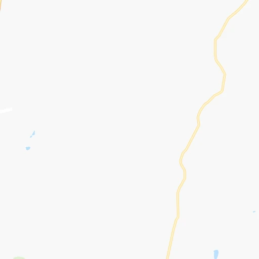
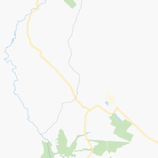
Roadmap (route) to go from Araraí to Serra detailed above, you can also see the course layout on the map.
While doing trip Araraí - Serra by car, the calculated route ends at a distance , or more straight.
Distance and duration of the route between Araraí and Serra
Calculation of distance and route from Serra to Araraí :
803.41,112.3 km14h12mn
Continue onto Estrada Municipal Abel Terrugi 0h10mn 11.0 kmTurn right onto Avenida Bela Cintra 0h0mn 489 mContinue 0h1mn 517 mAt roundabout, take exit 2 0h0mn 110 mAt roundabout, take exit 2 0h0mn 519 mContinue onto Rodovia Engenheiro Thales de Lorena Peixoto Junior 0h7mn 9.9 kmKeep right and take SP-310, BR-267, BR-364 toward São Paulo 1h55mn 82.7 kmKeep right and take SP-330, BR-050 toward Anhanguera, Limeira, Campinas, São Paulo 1h34mn 49.7 kmKeep right onto Trevo Deputado Ricardo Izar and drive toward Dom Pedro I, Mogi Mirim 0h1mn 572 mContinue onto Trevo Deputado Ricardo Izar and drive toward Mogi Mirim, Jacareí 0h23mn 35.6 kmKeep right onto Rodovia Dom Pedro I 1h59mn 95.3 kmKeep right 0h0mn 160 mTurn sharp left onto Estrada Velha de Igaratá 0h5mn 4.5 kmTurn right onto Estrada Velha de Igaratá 0h0mn 197 mTurn left 0h5mn 5.8 kmKeep right and drive toward São José dos Campos, Rio de Janeiro 0h11mn 16.0 kmKeep right and drive toward São José dos Campos, Aeroporto 0h3mn 5.5 kmKeep right and drive toward Vila Industrial, Bairro Vista Verde 0h0mn 198 mKeep left onto Avenida Pedro Friggi and drive toward Bairro Vista Verde 2h9mn 206.0 kmKeep right and drive toward Barra Mansa, Bananal, Bairro Cotiara 0h0mn 44 mTurn sharp right and drive toward Barra Mansa, Bananal, Bairro Cotiara 0h0mn 37 mKeep right 0h0mn 25 mTurn slight right onto Rua José Hipólito 0h1mn 1.1 kmTurn right onto RJ-153 0h10mn 7.6 kmKeep left onto Rodovia VRD 100 - Via Sérgio Braga 0h8mn 7.5 kmKeep right onto Rodovia Lúcio Meira 2h34mn 107.7 kmAt roundabout, take exit 1 onto Rodovia Lúcio Meira BR-393 0h0mn 118 mTurn slight right onto Rodovia Lúcio Meira 0h7mn 8.2 kmKeep right onto Acesso Rodovia Washington Luiz and take BR-040 toward Rio de Janeiro 0h1mn 674 mKeep right and take BR-393 toward Sapucaia, Salvador 0h0mn 232 mContinue onto Rodovia Lúcio Meira 0h9mn 10.4 kmAt roundabout, take exit 2 onto Rodovia Lúcio Meira 1h46mn 51.4 kmAt roundabout, take exit 2 onto Rodovia do Aço 0h5mn 4.3 kmKeep right onto Rodovia Engenheiro Armando de Godói 0h15mn 18.3 kmKeep right 0h0mn 94 mTurn slight right onto Rodovia Lúcio Meira 0h24mn 27.1 kmTurn right onto Rua Sebastião Pereira de Andrade Sobrinho 0h0mn 97 mTurn left onto BR-393 0h0mn 60 mTurn right onto BR-393 0h22mn 24.0 kmAt roundabout, take exit 2 onto BR-393, RJ-116, RJ-186 0h1mn 389 mKeep right onto BR-393, RJ-116, RJ-186 0h0mn 43 mTurn slight right onto BR-393, RJ-116, RJ-186 0h1mn 462 mKeep right onto BR-393, RJ-186 1h50mn 58.5 kmAt roundabout, take exit 3 onto BR-393, RJ-186 0h0mn 103 mTurn slight right onto BR-393 - RJ-186 0h16mn 18.6 kmAt roundabout, take exit 1 onto Trevo Nossa Senhora Aparecida 0h0mn 133 mTurn slight right onto Estrada Santo Eduardo 0h8mn 9.4 kmAt roundabout, take exit 1 onto Rodovia Milton Areas 0h4mn 4.7 kmAt roundabout, take exit 1 onto Rodovia Milton Areas 0h10mn 12.3 kmTurn right onto Rua Antônio de Souza Coelho 0h17mn 19.6 kmTurn left onto Rodovia Governador Mário Covas 1h37mn 43.6 kmKeep right onto Rodovia Governador Mário Covas 1h4mn 78.8 kmKeep right onto Rodovia Governador Mário Covas 1h52mn 66.2 kmKeep right 0h0mn 245 mAt roundabout, take exit 1 0h6mn 5.1 kmAt roundabout, take exit 1 onto Avenida Cassiano Castello 0h0mn 367 mArrive at destination 0h0mn 0 m
Travel from Araraí (Espírito Santo) to a selection of major cities.
Distances from Araraí to biggest cities in São Paulo
- Guaruja,310,424 inhabitants.290 km
- Franca,305,041 inhabitants.151 km
- Limeira,289,665 inhabitants.93 km
- Suzano,283,314 inhabitants.246 km
- Barueri,251,994 inhabitants.211 km
- Taubate,251,641 inhabitants.269 km
- Praia Grande,250,027 inhabitants.283 km
- Sumare,227,977 inhabitants.125 km
- Embu,221,733 inhabitants.226 km
- Taboao da Serra,214,523 inhabitants.226 km
- Jacarei,213,110 inhabitants.252 km
- Marilia,212,218 inhabitants.222 km
- Presidente Prudente,209,502 inhabitants.368 km
- Sao Carlos,205,035 inhabitants.21 km
- Hortolandia,203,533 inhabitants.130 km
- Itapevi,201,748 inhabitants.212 km
- Americana,196,022 inhabitants.113 km
- Santa Barbara d'Oeste,188,000 inhabitants.111 km
- Rio Claro,180,147 inhabitants.70 km
- Indaiatuba,179,911 inhabitants.154 km
Other major cities in country :
- Jaboatao dos Guararapes [30], 630,008 inhabitants. 2,055 km
- Contagem [15], 627,123 inhabitants. 446 km
- Uberlandia [15], 563,536 inhabitants. 328 km
- Cuiaba [14], 521,934 inhabitants. 1,114 km
- Aparecida de Goiania [29], 510,770 inhabitants. 577 km
- Aracaju [28], 490,175 inhabitants. 1,672 km
- Feira de Santana [05], 481,911 inhabitants. 1,422 km
- Londrina [18], 471,832 inhabitants. 380 km
- Juiz de Fora [15], 470,193 inhabitants. 463 km
- Belford Roxo [21], 466,096 inhabitants. 468 km
- Joinville [26], 461,304 inhabitants. 508 km
- Niteroi [21], 456,456 inhabitants. 501 km
- Sao Joao de Meriti [21], 454,849 inhabitants. 472 km
- Ananindeua [16], 433,956 inhabitants. 2,279 km
- Florianopolis [26], 412,724 inhabitants. 646 km
- Ribeirao das Neves [15], 406,802 inhabitants. 453 km
- Vila Velha [08], 394,930 inhabitants. 801 km
- Serra [08], 394,153 inhabitants. 805 km
- Campos dos Goytacazes [21], 387,417 inhabitants. 672 km
- Betim [15], 384,000 inhabitants. 431 km
Route from Serra to major cities (Brazil).
- Distance Serra Sao Paulo756 km
- Distance Serra Rio de Janeiro429 km
- Distance Serra Salvador819 km
- Distance Serra Fortaleza1,837 km
- Distance Serra Belo Horizonte380 km
- Distance Serra Brasilia941 km
- Distance Serra Curitiba1,092 km
- Distance Serra Manaus2,859 km
- Distance Serra Recife1,466 km
- Distance Serra Belem2,262 km
- Distance Serra Porto Alegre1,556 km
- Distance Serra Goiania1,020 km
- Distance Serra Guarulhos743 km
- Distance Serra Campinas764 km
- Distance Serra Nova Iguacu438 km
- Distance Serra Maceio1,264 km
- Distance Serra Sao Luis2,007 km
- Distance Serra Duque de Caxias429 km
- Distance Serra Natal1,688 km
- Distance Serra Teresina1,696 km
Nearest cities to Araraí :
- Sao Paulo, 10,021,295 inhabitants. 227 km
- Guarulhos, 1,169,577 inhabitants. 225 km
- Campinas, 1,031,554 inhabitants. 143 km
- Sao Bernardo do Campo, 743,372 inhabitants. 245 km
- Osasco, 677,856 inhabitants. 217 km
- Santo Andre, 662,373 inhabitants. 243 km
- Ribeirao Preto, 619,746 inhabitants. 73 km
- Sao Jose dos Campos, 613,764 inhabitants. 250 km
- Uberlandia, 563,536 inhabitants. 328 km
- Sorocaba, 558,862 inhabitants. 190 km
- Santos, 411,403 inhabitants. 282 km
- Diadema, 390,633 inhabitants. 241 km
- Maua, 386,069 inhabitants. 248 km
- Sao Jose do Rio Preto, 374,699 inhabitants. 196 km
- Carapicuiba, 361,112 inhabitants. 214 km
- Piracicaba, 342,209 inhabitants. 101 km
- Itaquaquecetuba, 336,679 inhabitants. 239 km
- Bauru, 335,024 inhabitants. 137 km
- Mogi das Cruzes, 325,746 inhabitants. 253 km
- Sao Vicente, 324,457 inhabitants. 279 km
- Jundiai, 321,589 inhabitants. 179 km
- Guaruja, 310,424 inhabitants. 290 km
- Franca, 305,041 inhabitants. 151 km
- Limeira, 289,665 inhabitants. 93 km
- Suzano, 283,314 inhabitants. 246 km
- Uberaba, 260,843 inhabitants. 232 km
- Barueri, 251,994 inhabitants. 211 km
- Taubate, 251,641 inhabitants. 269 km
- Praia Grande, 250,027 inhabitants. 283 km
- Sumare, 227,977 inhabitants. 125 km
- Embu, 221,733 inhabitants. 226 km
- Taboao da Serra, 214,523 inhabitants. 226 km
- Jacarei, 213,110 inhabitants. 252 km
- Marilia, 212,218 inhabitants. 222 km
- Sao Carlos, 205,035 inhabitants. 21 km
- Hortolandia, 203,533 inhabitants. 130 km
- Itapevi, 201,748 inhabitants. 212 km
- Americana, 196,022 inhabitants. 113 km
- Divinopolis, 193,832 inhabitants. 359 km
- Santa Barbara d'Oeste, 188,000 inhabitants. 111 km
- Rio Claro, 180,147 inhabitants. 70 km
- Indaiatuba, 179,911 inhabitants. 154 km
- Cotia, 174,828 inhabitants. 218 km
- Francisco Morato, 171,790 inhabitants. 196 km
- Aracatuba, 170,024 inhabitants. 278 km
- Araraquara, 168,468 inhabitants. 36 km
- Ferraz de Vasconcelos, 167,900 inhabitants. 242 km
- Itapecerica da Serra, 151,605 inhabitants. 233 km
- Pocos de Caldas, 146,588 inhabitants. 132 km
- Itu, 137,586 inhabitants. 168 km
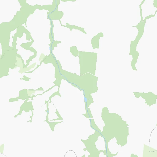
Location Araraí (São Paulo) :
| Country flag |  |
| Location | Araraí |
| State | São Paulo |
| County | São Carlos |
| Country | Brazil |
| Country code / ISO 2 | BR |
| Latitude | -21.8333300 |
| Longitude | -47.8333300 |
| Altitude | 0 meters |
| Time zone | America/Sao_Paulo |
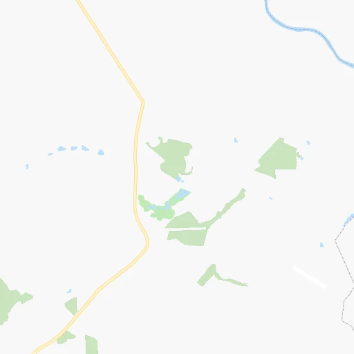
Location Serra (Espírito Santo) :
| Country flag | |
| Location | Serra |
| State | Espírito Santo |
| County | Serra |
| Country | Brazil |
| Country code / ISO 2 | BR |
| Latitude | -20.1286100 |
| Longitude | -40.3077800 |
| Altitude | 0 meters |
| Time zone | America/Sao_Paulo |

