
How to get from Cambará (Paraná) to Telêmaco Borba (Paraná)
Calculate route from Cambará (Paraná, Brazil) to Telêmaco Borba (Paraná, Brazil).
The flight distance (as the crow flies) between Cambará and Telêmaco Borba is 152.3 km.
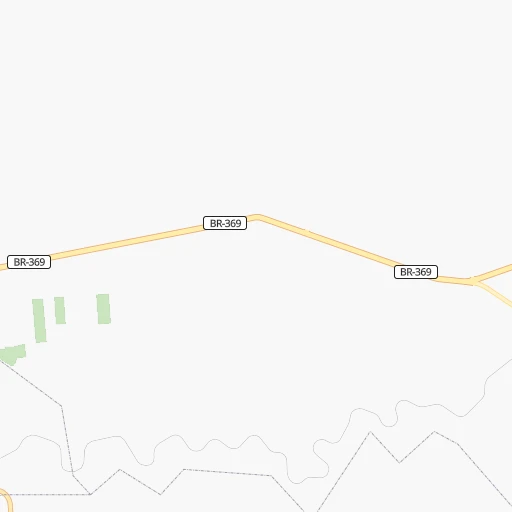
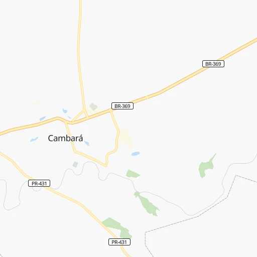
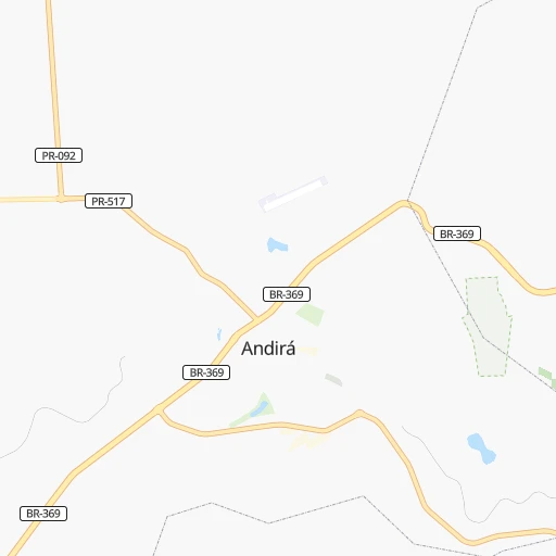
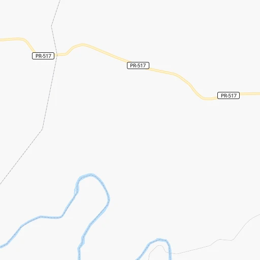
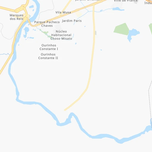
Roadmap (route) to go from Cambará to Telêmaco Borba detailed above, you can also see the course layout on the map.
While doing trip Cambará - Telêmaco Borba by car, the calculated route ends at a distance , or more straight.
Distance and duration of the route between Cambará and Telêmaco Borba
Calculation of distance and route from Telêmaco Borba to Cambará :
152.3198.4 km3h11mn
Continue onto Rua Nelson Bonacin 0h0mn 51 mTurn right onto Rua Octávio Rodrigues Ferreira Filho 0h0mn 142 mTurn right 0h0mn 140 mTurn left onto Rua João Manoel dos Santos 0h0mn 22 mKeep right 0h0mn 120 mTurn slight right onto Rua Prefeito Airton Costa Pinto 0h0mn 7 mTurn left onto Rua Joaquim A. D. Caetano 0h0mn 70 mTurn right onto Rua Barão do Rio Branco 0h0mn 243 mTurn left onto Rua Waldomiro Pereira Lima 0h0mn 65 mTurn right onto Rua Antônio Luiz Dias 0h2mn 933 mTurn left onto Rodovia Benedito Moreira 0h12mn 14.7 kmKeep right onto Rodovia Benedito Moreira 0h3mn 3.5 kmContinue onto Rodovia Benedito Moreira 0h0mn 125 mTurn slight right onto BR-153 0h16mn 19.2 kmContinue onto Rodovia Governador Parigot de Souza 1h21mn 94.2 kmKeep right onto Estrada para BR153 0h9mn 5.7 kmTurn left onto Estrada PR090 - BR153 0h5mn 2.9 kmTurn left onto Estrada PR090 - BR153 0h10mn 5.9 kmTurn right onto Rodovia Engenheiro Ângelo Ferrário Lopes 0h1mn 1.3 kmTurn left onto PR160 para PR090 0h24mn 21.8 kmTurn left onto PR160 para PR090 0h1mn 467 mTurn left onto Rodovia do Papel 0h18mn 21.7 kmAt roundabout, take exit 1 onto Rodovia do Papel 0h3mn 3.5 kmAt roundabout, take exit 3 0h0mn 88 mTurn right onto Rua Ac 0h1mn 358 mTurn slight left onto Rua Max Staudacher 0h1mn 531 mAt roundabout, take exit 2 onto Avenida Paraná 0h0mn 442 mTurn left onto Travessa Irati 0h0mn 85 mTurn right onto Rua Governador Bento Munhoz da Rocha Neto 0h0mn 103 mTurn left onto Travessa Urugual 0h0mn 73 mArrive at destination 0h0mn 0 m
Travel from Cambará (Paraná) to a selection of major cities.
Distances from Cambará to biggest cities in Paraná
- Campo Mourao,75,401 inhabitants.260 km
- Paranavai,72,848 inhabitants.245 km
- Pato Branco,65,754 inhabitants.441 km
- Telemaco Borba,58,880 inhabitants.153 km
- Francisco Beltrao,57,618 inhabitants.453 km
- Cianorte,55,994 inhabitants.268 km
- Rolandia,51,004 inhabitants.136 km
- Uniao da Vitoria,48,741 inhabitants.369 km
- Cornelio Procopio,48,487 inhabitants.61 km
- Irati,45,830 inhabitants.276 km
- Ibipora,44,790 inhabitants.103 km
- Marechal Candido Rondon,43,028 inhabitants.439 km
- Castro,42,091 inhabitants.194 km
- Piraquara,41,161 inhabitants.286 km
- Palmas,39,150 inhabitants.429 km
- Mandaguari,38,238 inhabitants.173 km
- Santo Antonio da Platina,35,260 inhabitants.28 km
- Jacarezinho,35,090 inhabitants.17 km
- Paicandu,34,365 inhabitants.207 km
- Medianeira,34,069 inhabitants.479 km
Other major cities in country :
- Campo Grande [11], 729,151 inhabitants. 555 km
- Jaboatao [30], 702,621 inhabitants. 2,309 km
- Osasco [27], 677,856 inhabitants. 340 km
- Santo Andre [27], 662,373 inhabitants. 368 km
- Joao Pessoa [17], 650,883 inhabitants. 2,407 km
- Jaboatao dos Guararapes [30], 630,008 inhabitants. 2,313 km
- Contagem [15], 627,123 inhabitants. 713 km
- Ribeirao Preto [27], 619,746 inhabitants. 313 km
- Sao Jose dos Campos [27], 613,764 inhabitants. 429 km
- Uberlandia [15], 563,536 inhabitants. 496 km
- Sorocaba [27], 558,862 inhabitants. 272 km
- Cuiaba [14], 521,934 inhabitants. 1,043 km
- Aparecida de Goiania [29], 510,770 inhabitants. 698 km
- Aracaju [28], 490,175 inhabitants. 1,932 km
- Feira de Santana [05], 481,911 inhabitants. 1,680 km
- Juiz de Fora [15], 470,193 inhabitants. 706 km
- Belford Roxo [21], 466,096 inhabitants. 685 km
- Joinville [26], 461,304 inhabitants. 383 km
- Niteroi [21], 456,456 inhabitants. 715 km
- Sao Joao de Meriti [21], 454,849 inhabitants. 688 km
Route from Telêmaco Borba to major cities (Brazil).
- Distance Telêmaco Borba Sao Paulo414 km
- Distance Telêmaco Borba Rio de Janeiro774 km
- Distance Telêmaco Borba Salvador1,794 km
- Distance Telêmaco Borba Fortaleza2,634 km
- Distance Telêmaco Borba Belo Horizonte845 km
- Distance Telêmaco Borba Brasilia992 km
- Distance Telêmaco Borba Manaus2,570 km
- Distance Telêmaco Borba Recife2,467 km
- Distance Telêmaco Borba Belem2,556 km
- Distance Telêmaco Borba Porto Alegre638 km
- Distance Telêmaco Borba Goiania863 km
- Distance Telêmaco Borba Guarulhos426 km
- Distance Telêmaco Borba Campinas395 km
- Distance Telêmaco Borba Nova Iguacu752 km
- Distance Telêmaco Borba Maceio2,270 km
- Distance Telêmaco Borba Sao Luis2,519 km
- Distance Telêmaco Borba Duque de Caxias765 km
- Distance Telêmaco Borba Natal2,639 km
- Distance Telêmaco Borba Teresina2,299 km
- Distance Telêmaco Borba Sao Bernardo do Campo418 km
Nearest cities to Cambará :
- Curitiba, 1,718,421 inhabitants. 277 km
- Ribeirao Preto, 619,746 inhabitants. 313 km
- Sorocaba, 558,862 inhabitants. 272 km
- Londrina, 471,832 inhabitants. 115 km
- Sao Jose do Rio Preto, 374,699 inhabitants. 258 km
- Piracicaba, 342,209 inhabitants. 251 km
- Bauru, 335,024 inhabitants. 132 km
- Maringa, 311,724 inhabitants. 195 km
- Franca, 305,041 inhabitants. 393 km
- Ponta Grossa, 292,177 inhabitants. 228 km
- Limeira, 289,665 inhabitants. 279 km
- Sumare, 227,977 inhabitants. 289 km
- Colombo, 217,000 inhabitants. 264 km
- Marilia, 212,218 inhabitants. 94 km
- Presidente Prudente, 209,502 inhabitants. 170 km
- Sao Carlos, 205,035 inhabitants. 252 km
- Hortolandia, 203,533 inhabitants. 293 km
- Americana, 196,022 inhabitants. 283 km
- Santa Barbara d'Oeste, 188,000 inhabitants. 275 km
- Rio Claro, 180,147 inhabitants. 267 km
- Indaiatuba, 179,911 inhabitants. 293 km
- Aracatuba, 170,024 inhabitants. 208 km
- Araraquara, 168,468 inhabitants. 240 km
- Guarapuava, 150,850 inhabitants. 297 km
- Paranagua, 141,013 inhabitants. 317 km
- Itu, 137,586 inhabitants. 285 km
- Itapetininga, 126,243 inhabitants. 215 km
- Sao Jose dos Pinhais, 124,224 inhabitants. 290 km
- Jau, 119,206 inhabitants. 177 km
- Pinhais, 117,000 inhabitants. 282 km
- Botucatu, 113,862 inhabitants. 168 km
- Araucaria, 111,302 inhabitants. 291 km
- Catanduva, 109,612 inhabitants. 241 km
- Araras, 107,463 inhabitants. 287 km
- Apucarana, 107,085 inhabitants. 153 km
- Birigui, 102,277 inhabitants. 198 km
- Assis, 101,597 inhabitants. 55 km
- Barretos, 101,220 inhabitants. 318 km
- Votorantim, 99,390 inhabitants. 275 km
- Sertaozinho, 99,211 inhabitants. 302 km
- Salto, 98,387 inhabitants. 286 km
- Ourinhos, 97,799 inhabitants. 22 km
- Arapongas, 97,512 inhabitants. 144 km
- Campo Largo, 94,668 inhabitants. 274 km
- Tatui, 93,580 inhabitants. 229 km
- Cambe, 91,080 inhabitants. 126 km
- Almirante Tamandare, 89,499 inhabitants. 265 km
- Sarandi, 84,697 inhabitants. 189 km
- Avare, 81,285 inhabitants. 118 km
- Leme, 81,209 inhabitants. 292 km
Location Cambará (Paraná) :
| Country flag |  |
| Location | Cambará |
| State | Paraná |
| County | Cambará |
| Country | Brazil |
| Country code / ISO 2 | BR |
| Latitude | -23.0463900 |
| Longitude | -50.0736100 |
| Altitude | 0 meters |
| Time zone | America/Sao_Paulo |
Location Telêmaco Borba (Paraná) :
| Country flag | |
| Location | Telêmaco Borba |
| State | Paraná |
| County | Telêmaco Borba |
| Country | Brazil |
| Country code / ISO 2 | BR |
| Latitude | -24.3238900 |
| Longitude | -50.6155600 |
| Altitude | 0 meters |
| Time zone | America/Sao_Paulo |

