
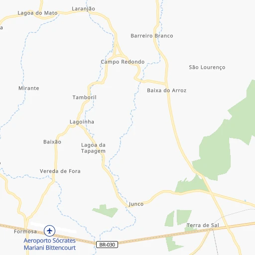
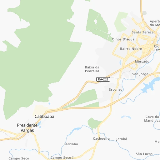

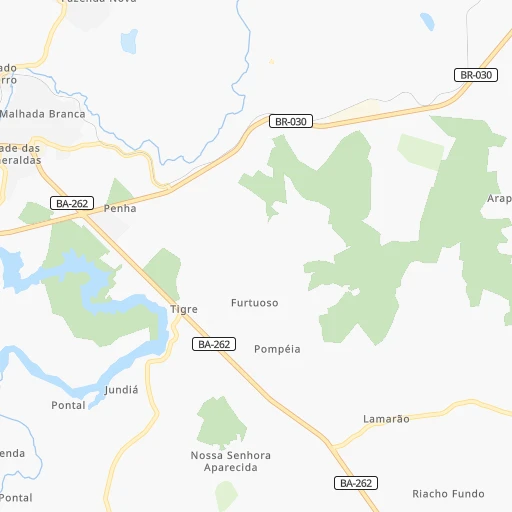
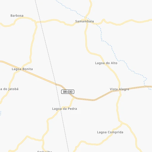
How to get from Catiboaba (Bahia) to Camaçari (Bahia)
Calculate route from Catiboaba (Bahia, Brazil) to Camaçari (Bahia, Brazil).
The flight distance (as the crow flies) between Catiboaba and Camaçari is 406.2 km.
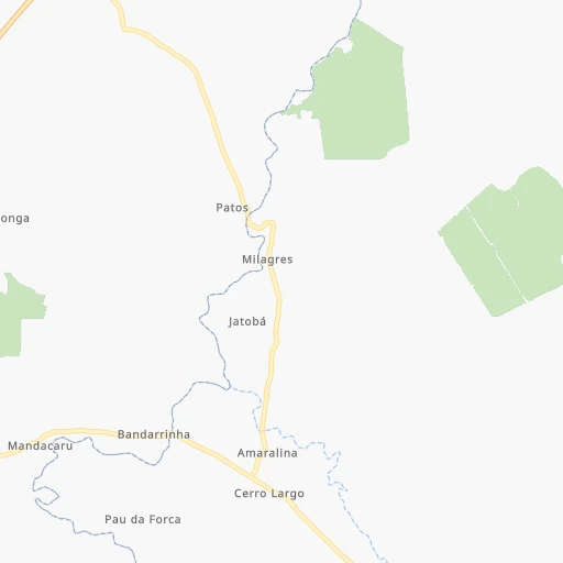
Roadmap (route) to go from Catiboaba to Camaçari detailed above, you can also see the course layout on the map.
While doing trip Catiboaba - Camaçari by car, the calculated route ends at a distance , or more straight.
Distance and duration of the route between Catiboaba and Camaçari
Calculation of distance and route from Camaçari to Catiboaba :
406.2524.9 km7h12mn
Continue onto BR-030 0h3mn 2.0 kmAt roundabout, take exit 1 onto Anel Viário de Brumado 0h7mn 8.1 kmAt roundabout, take exit 3 onto BR-030 1h45mn 49.4 kmKeep left onto Rua do Campo 0h0mn 83 mKeep right onto Rua Herculina Rocha 0h1mn 579 mTurn left onto BA-026 2h52mn 133.4 kmAt roundabout, take exit 3 onto Avenida Doutor João Pessoa 1h22mn 90.1 kmAt roundabout, take exit 2 onto Rodovia Santos Dumont 1h2mn 72.0 kmContinue onto Rodovia Santos Dumont 1h42mn 69.0 kmKeep right onto Avenida Eduardo Froes da Mota and drive toward Salvador 0h6mn 7.1 kmKeep right and drive toward Salvador 1h51mn 72.5 kmTurn right 0h2mn 781 mTurn sharp left 0h1mn 265 mAt roundabout, take exit 1 onto BA-524 0h10mn 11.9 kmTurn sharp left and take BA-093 toward Dias D'Avila, Mata de São João, Pojuca 0h1mn 1.3 kmKeep right onto Avenida Radial A 0h6mn 5.8 kmTurn left onto Avenida Camaçari 0h1mn 648 mArrive at destination 0h0mn 0 m
Travel from Catiboaba (Bahia) to a selection of major cities.
Distances from Catiboaba to biggest cities in Bahia
- Serrinha,49,078 inhabitants.412 km
- Senhor do Bonfim,48,471 inhabitants.453 km
- Cruz das Almas,47,844 inhabitants.334 km
- Jacobina,47,637 inhabitants.366 km
- Itamaraju,47,628 inhabitants.390 km
- Itaberaba,47,301 inhabitants.246 km
- Santo Amaro,46,748 inhabitants.378 km
- Brumado,41,989 inhabitants.8 km
- Jaguaquara,41,498 inhabitants.206 km
- Bom Jesus da Lapa,40,691 inhabitants.213 km
- Catu,39,932 inhabitants.420 km
- Ipiau,38,762 inhabitants.215 km
- Xique Xique,35,433 inhabitants.396 km
- Pocoes,35,254 inhabitants.150 km
- Conceicao do Coite,35,171 inhabitants.400 km
- Coaraci,32,344 inhabitants.239 km
- Tucano,31,203 inhabitants.486 km
- Sao Sebastiao do Passe,31,049 inhabitants.400 km
- Vera Cruz,30,556 inhabitants.195 km
- Euclides da Cunha,29,738 inhabitants.510 km
Other major cities in country :
- Campo Grande [11], 729,151 inhabitants. 1,535 km
- Jaboatao [30], 702,621 inhabitants. 998 km
- Osasco [27], 677,856 inhabitants. 1,163 km
- Santo Andre [27], 662,373 inhabitants. 1,164 km
- Joao Pessoa [17], 650,883 inhabitants. 1,093 km
- Jaboatao dos Guararapes [30], 630,008 inhabitants. 1,002 km
- Contagem [15], 627,123 inhabitants. 679 km
- Ribeirao Preto [27], 619,746 inhabitants. 1,005 km
- Sao Jose dos Campos [27], 613,764 inhabitants. 1,086 km
- Uberlandia [15], 563,536 inhabitants. 871 km
- Sorocaba [27], 558,862 inhabitants. 1,193 km
- Cuiaba [14], 521,934 inhabitants. 1,552 km
- Aparecida de Goiania [29], 510,770 inhabitants. 855 km
- Aracaju [28], 490,175 inhabitants. 628 km
- Londrina [18], 471,832 inhabitants. 1,415 km
- Juiz de Fora [15], 470,193 inhabitants. 854 km
- Belford Roxo [21], 466,096 inhabitants. 964 km
- Joinville [26], 461,304 inhabitants. 1,533 km
- Niteroi [21], 456,456 inhabitants. 972 km
- Sao Joao de Meriti [21], 454,849 inhabitants. 968 km
Route from Camaçari to major cities (Brazil).
- Distance Camaçari Sao Paulo1,493 km
- Distance Camaçari Rio de Janeiro1,247 km
- Distance Camaçari Fortaleza1,000 km
- Distance Camaçari Belo Horizonte1,003 km
- Distance Camaçari Brasilia1,092 km
- Distance Camaçari Curitiba1,824 km
- Distance Camaçari Manaus2,617 km
- Distance Camaçari Recife640 km
- Distance Camaçari Belem1,681 km
- Distance Camaçari Porto Alegre2,344 km
- Distance Camaçari Goiania1,257 km
- Distance Camaçari Guarulhos1,479 km
- Distance Camaçari Campinas1,465 km
- Distance Camaçari Nova Iguacu1,245 km
- Distance Camaçari Maceio440 km
- Distance Camaçari Sao Luis1,310 km
- Distance Camaçari Duque de Caxias1,241 km
- Distance Camaçari Natal841 km
- Distance Camaçari Teresina980 km
- Distance Camaçari Sao Bernardo do Campo1,502 km
Nearest cities to Catiboaba :
- Feira de Santana, 481,911 inhabitants. 372 km
- Montes Claros, 332,379 inhabitants. 359 km
- Vitoria da Conquista, 253,137 inhabitants. 118 km
- Itabuna, 205,660 inhabitants. 271 km
- Ilheus, 155,499 inhabitants. 296 km
- Jequie, 127,475 inhabitants. 183 km
- Porto Seguro, 123,173 inhabitants. 377 km
- Eunapolis, 114,275 inhabitants. 331 km
- Santo Antonio de Jesus, 73,957 inhabitants. 303 km
- Irece, 63,626 inhabitants. 328 km
- Valenca, 63,231 inhabitants. 303 km
- Itapetinga, 59,721 inhabitants. 195 km
- Guanambi, 58,877 inhabitants. 114 km
- Janauba, 56,572 inhabitants. 243 km
- Serrinha, 49,078 inhabitants. 412 km
- Cruz das Almas, 47,844 inhabitants. 334 km
- Itamaraju, 47,628 inhabitants. 390 km
- Itaberaba, 47,301 inhabitants. 246 km
- Brumado, 41,989 inhabitants. 8 km
- Jaguaquara, 41,498 inhabitants. 206 km
- Bom Jesus da Lapa, 40,691 inhabitants. 213 km
- Ipiau, 38,762 inhabitants. 215 km
- Pocoes, 35,254 inhabitants. 150 km
- Conceicao do Coite, 35,171 inhabitants. 400 km
- Januaria, 34,811 inhabitants. 315 km
- Coaraci, 32,344 inhabitants. 239 km
- Bocaiuva, 32,114 inhabitants. 389 km
- Vera Cruz, 30,556 inhabitants. 195 km
- Almenara, 29,333 inhabitants. 243 km
- Ubaitaba, 28,375 inhabitants. 260 km
- Santo Estevao, 27,279 inhabitants. 336 km
- Ipira, 27,217 inhabitants. 317 km
- Caetite, 27,187 inhabitants. 83 km
- Canavieiras, 26,375 inhabitants. 339 km
- Salinas, 25,746 inhabitants. 222 km
- Nazare, 25,604 inhabitants. 323 km
- Santaluz, 24,739 inhabitants. 420 km
- Urucuca, 24,409 inhabitants. 266 km
- Taiobeiras, 24,351 inhabitants. 182 km
- Itambe, 23,558 inhabitants. 163 km
- Santa Maria da Vitoria, 23,488 inhabitants. 284 km
- Iacu, 22,664 inhabitants. 233 km
- Una, 22,613 inhabitants. 308 km
- Amargosa, 22,530 inhabitants. 267 km
- Muritiba, 22,388 inhabitants. 306 km
- Maracas, 22,049 inhabitants. 167 km
- Aracuai, 22,005 inhabitants. 292 km
- Morro do Chapeu, 21,670 inhabitants. 307 km
- Conceicao do Jacuipe, 21,597 inhabitants. 386 km
- Gandu, 21,565 inhabitants. 249 km
Location Catiboaba (Bahia) :
| Country flag |  |
| Location | Catiboaba |
| State | Bahia |
| County | Malhada de Pedras |
| Country | Brazil |
| Country code / ISO 2 | BR |
| Latitude | -14.2471700 |
| Longitude | -41.7290000 |
| Altitude | 0 meters |
| Time zone | America/Bahia |
Location Camaçari (Bahia) :
| Country flag | |
| Location | Camaçari |
| State | Bahia |
| County | Camaçari |
| Country | Brazil |
| Country code / ISO 2 | BR |
| Latitude | -12.6975000 |
| Longitude | -38.3241700 |
| Altitude | 0 meters |
| Time zone | America/Bahia |

