


How to get from Congonhas (Santa Catarina) to Mafra (Santa Catarina)
Calculate route from Congonhas (Santa Catarina, Brazil) to Mafra (Santa Catarina, Brazil).
The flight distance (as the crow flies) between Congonhas and Mafra is 280.6 km.
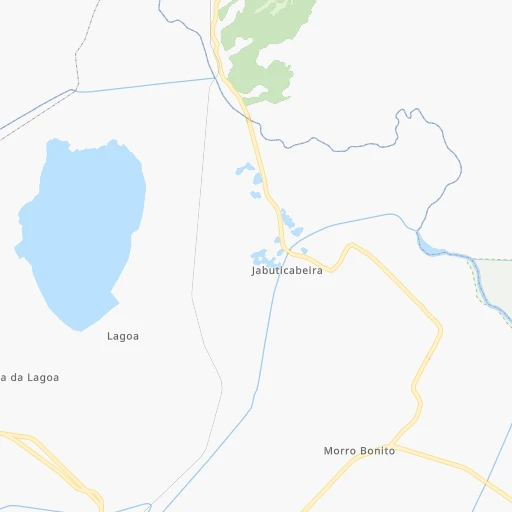
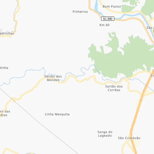
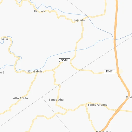
Roadmap (route) to go from Congonhas to Mafra detailed above, you can also see the course layout on the map.
While doing trip Congonhas - Mafra by car, the calculated route ends at a distance , or more straight.
Distance and duration of the route between Congonhas and Mafra
Calculation of distance and route from Mafra to Congonhas :
280.6413.3 km5h22mn
Continue onto Rua Rui Barbosa 0h1mn 1.2 kmContinue onto Rua Rui Barbosa 0h4mn 3.5 kmTurn right onto Rua Paulo Luís Gomes 0h0mn 83 mTurn left onto Rua Santos Dumont 0h0mn 215 mTurn right onto Avenida Pedro Zapelini 0h0mn 107 mAt roundabout, take exit 3 onto Rua Luiz Martins Collaço 0h1mn 576 mTurn right onto Rua São José 0h1mn 676 mTurn left onto Rua Esteves Júnior 0h0mn 32 mTurn right onto Avenida Marcolino Martins Cabral 0h0mn 108 mTurn left onto Rua Tubalcaim Faraco 0h0mn 342 mTurn right onto Avenida Presidente Getúlio Vargas 0h2mn 1.7 kmTurn left onto Avenida Presidente Tancredo Neves 0h1mn 421 mKeep right 0h0mn 250 mKeep left and drive toward Laguna, Imbituba, Garopaba 3h44mn 248.3 kmKeep right and drive toward Barra Velha, São João do Itaperiú 0h0mn 169 mTurn left onto Avenida Paraná 0h0mn 73 mAt roundabout, take exit 2 onto Rua Alfredo Bento de Borba Sobrinho 0h1mn 782 mTurn left onto Rodovia Saul Silva 0h21mn 24.7 kmTurn right onto Estrada Pereira 0h4mn 2.2 kmTurn left onto Rua Heriberto Wick 0h4mn 1.9 kmKeep right onto Rua Heriberto Wick 0h3mn 1.4 kmTurn right onto Rua Heriberto Wick 0h0mn 166 mTurn right onto Rodovia Guilherme Jensen 0h4mn 5.2 kmTurn left onto Rua Anélio Nicocelli 0h5mn 4.8 kmAt roundabout, take exit 2 onto Rua Expedicionário Henrique Jacobi 0h1mn 1.2 kmAt roundabout, take exit 1 onto Rua Benildo Zamin 0h1mn 976 mTurn left 0h7mn 6.7 kmAt roundabout, take exit 1 onto Rodovia Senador Luiz Henrique da Silveira 0h1mn 919 mAt roundabout, take exit 2 onto Rodovia Senador Luiz Henrique da Silveira 0h7mn 7.4 kmAt roundabout, take exit 2 onto Rodovia Senador Luiz Henrique da Silveira 0h4mn 5.0 kmContinue onto Rodovia Senador Luiz Henrique da Silveira 0h2mn 2.3 kmAt roundabout, take exit 2 onto Rodovia Senador Luiz Henrique da Silveira 0h2mn 1.9 kmAt roundabout, take exit 2 onto Rodovia Senador Luiz Henrique da Silveira 1h13mn 84.6 kmKeep left 0h0mn 48 mTurn right onto Avenida Presidente Nereu Ramos and drive toward Mafra 0h0mn 251 mAt roundabout, take exit 1 onto Avenida Presidente Nereu Ramos 0h0mn 228 mAt roundabout, take exit 2 onto Avenida Presidente Nereu Ramos 0h0mn 357 mAt roundabout, take exit 2 onto Avenida Presidente Nereu Ramos 0h1mn 560 mAt roundabout, take exit 2 onto Avenida Presidente Nereu Ramos 0h3mn 1.9 kmTurn right onto Rua Gabriel Dequech 0h0mn 104 mArrive at destination 0h0mn 0 m
Travel from Congonhas (Santa Catarina) to a selection of major cities.
Distances from Congonhas to biggest cities in Santa Catarina
- Indaial,44,359 inhabitants.183 km
- Imbituba,43,450 inhabitants.46 km
- Ararangua,43,444 inhabitants.66 km
- Videira,42,440 inhabitants.272 km
- Rio Negrinho,41,914 inhabitants.259 km
- Mafra,40,081 inhabitants.281 km
- Laguna,39,711 inhabitants.22 km
- Canoinhas,38,862 inhabitants.296 km
- Itapema,36,761 inhabitants.165 km
- Sao Francisco do Sul,36,224 inhabitants.257 km
- Timbo,33,765 inhabitants.192 km
- Gaspar,33,658 inhabitants.178 km
- Xanxere,32,957 inhabitants.383 km
- Curitibanos,32,141 inhabitants.209 km
- Porto Uniao,28,907 inhabitants.328 km
- Capinzal,23,795 inhabitants.289 km
- Joacaba,23,516 inhabitants.289 km
- Forquilhinha,22,998 inhabitants.52 km
- Campos Novos,22,563 inhabitants.252 km
- Tijucas,22,481 inhabitants.148 km
Other major cities in country :
- Sao Bernardo do Campo [27], 743,372 inhabitants. 591 km
- Campo Grande [11], 729,151 inhabitants. 1,066 km
- Jaboatao [30], 702,621 inhabitants. 2,700 km
- Osasco [27], 677,856 inhabitants. 599 km
- Santo Andre [27], 662,373 inhabitants. 595 km
- Joao Pessoa [17], 650,883 inhabitants. 2,810 km
- Jaboatao dos Guararapes [30], 630,008 inhabitants. 2,705 km
- Contagem [15], 627,123 inhabitants. 1,081 km
- Ribeirao Preto [27], 619,746 inhabitants. 828 km
- Sao Jose dos Campos [27], 613,764 inhabitants. 673 km
- Uberlandia [15], 563,536 inhabitants. 1,073 km
- Sorocaba [27], 558,862 inhabitants. 581 km
- Cuiaba [14], 521,934 inhabitants. 1,614 km
- Aparecida de Goiania [29], 510,770 inhabitants. 1,304 km
- Aracaju [28], 490,175 inhabitants. 2,322 km
- Feira de Santana [05], 481,911 inhabitants. 2,089 km
- Londrina [18], 471,832 inhabitants. 620 km
- Juiz de Fora [15], 470,193 inhabitants. 944 km
- Belford Roxo [21], 466,096 inhabitants. 853 km
- Niteroi [21], 456,456 inhabitants. 863 km
Route from Mafra to major cities (Brazil).
- Distance Mafra Sao Paulo429 km
- Distance Mafra Rio de Janeiro760 km
- Distance Mafra Salvador1,880 km
- Distance Mafra Fortaleza2,768 km
- Distance Mafra Belo Horizonte914 km
- Distance Mafra Brasilia1,166 km
- Distance Mafra Curitiba93 km
- Distance Mafra Manaus2,784 km
- Distance Mafra Recife2,556 km
- Distance Mafra Belem2,748 km
- Distance Mafra Porto Alegre458 km
- Distance Mafra Goiania1,052 km
- Distance Mafra Guarulhos443 km
- Distance Mafra Campinas452 km
- Distance Mafra Nova Iguacu744 km
- Distance Mafra Maceio2,356 km
- Distance Mafra Sao Luis2,690 km
- Distance Mafra Duque de Caxias755 km
- Distance Mafra Natal2,743 km
- Distance Mafra Teresina2,456 km
Nearest cities to Congonhas :
- Porto Alegre, 1,372,741 inhabitants. 273 km
- Joinville, 461,304 inhabitants. 249 km
- Florianopolis, 412,724 inhabitants. 113 km
- Caxias do Sul, 381,270 inhabitants. 224 km
- Canoas, 328,291 inhabitants. 262 km
- Blumenau, 293,949 inhabitants. 180 km
- Viamao, 285,269 inhabitants. 261 km
- Novo Hamburgo, 253,841 inhabitants. 243 km
- Gravatai, 238,778 inhabitants. 249 km
- Sao Leopoldo, 209,229 inhabitants. 249 km
- Sao Jose, 200,000 inhabitants. 39 km
- Lages, 164,676 inhabitants. 153 km
- Criciuma, 161,954 inhabitants. 40 km
- Itajai, 155,716 inhabitants. 184 km
- Sapucaia, 130,937 inhabitants. 254 km
- Jaragua do Sul, 130,130 inhabitants. 228 km
- Palhoca, 122,423 inhabitants. 104 km
- Cachoeirinha, 121,084 inhabitants. 257 km
- Araucaria, 111,302 inhabitants. 330 km
- Guaiba, 101,024 inhabitants. 286 km
- Bento Goncalves, 90,852 inhabitants. 256 km
- Brusque, 88,284 inhabitants. 160 km
- Esteio, 84,902 inhabitants. 258 km
- Sao Bento do Sul, 77,597 inhabitants. 257 km
- Sapiranga, 76,051 inhabitants. 231 km
- Tubarao, 67,245 inhabitants. 7 km
- Lajeado, 65,407 inhabitants. 306 km
- Cacador, 63,726 inhabitants. 279 km
- Farroupilha, 57,650 inhabitants. 241 km
- Vacaria, 56,765 inhabitants. 189 km
- Montenegro, 54,057 inhabitants. 272 km
- Camaqua, 53,169 inhabitants. 375 km
- Biguacu, 51,992 inhabitants. 121 km
- Rio do Sul, 51,944 inhabitants. 160 km
- Icara, 51,454 inhabitants. 36 km
- Balneario Camboriu, 49,100 inhabitants. 175 km
- Uniao da Vitoria, 48,741 inhabitants. 329 km
- Parobe, 48,559 inhabitants. 216 km
- Taquara, 48,051 inhabitants. 213 km
- Navegantes, 47,781 inhabitants. 185 km
- Indaial, 44,359 inhabitants. 183 km
- Imbituba, 43,450 inhabitants. 46 km
- Ararangua, 43,444 inhabitants. 66 km
- Videira, 42,440 inhabitants. 272 km
- Rio Negrinho, 41,914 inhabitants. 259 km
- Estancia Velha, 40,390 inhabitants. 245 km
- Mafra, 40,081 inhabitants. 281 km
- Laguna, 39,711 inhabitants. 22 km
- Palmas, 39,150 inhabitants. 373 km
- Canoinhas, 38,862 inhabitants. 296 km
Location Congonhas (Santa Catarina) :
| Country flag |  |
| Location | Congonhas |
| State | Santa Catarina |
| County | Tubarão |
| Country | Brazil |
| Country code / ISO 2 | BR |
| Latitude | -28.5333300 |
| Longitude | -49.0000000 |
| Altitude | 0 meters |
| Time zone | America/Sao_Paulo |
Location Mafra (Santa Catarina) :
| Country flag | |
| Location | Mafra |
| State | Santa Catarina |
| County | Mafra |
| Country | Brazil |
| Country code / ISO 2 | BR |
| Latitude | -26.1113900 |
| Longitude | -49.8052800 |
| Altitude | 0 meters |
| Time zone | America/Sao_Paulo |

