
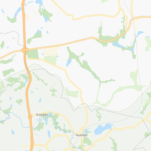
How to get from Guedes (São Paulo) to Cotia (São Paulo)
Calculate route from Guedes (São Paulo, Brazil) to Cotia (São Paulo, Brazil).
The flight distance (as the crow flies) between Guedes and Cotia is 106.2 km.
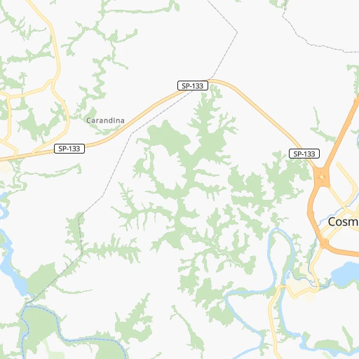
Roadmap (route) to go from Guedes to Cotia detailed above, you can also see the course layout on the map.
While doing trip Guedes - Cotia by car, the calculated route ends at a distance , or more straight.
Distance and duration of the route between Guedes and Cotia
Calculation of distance and route from Cotia to Guedes :
106.2135.2 km2h39mn
Continue 0h1mn 312 mTurn sharp right onto Estrada Municipal Ilda Davi Dal’Bó 0h3mn 1.8 kmContinue onto Estrada Municipal Ilda Davi Dal’Bó 0h0mn 37 mContinue 0h15mn 22.0 kmKeep right and take SP-065 toward Sāo Paulo, Jacareí 0h2mn 2.3 kmKeep left onto Rodovia Dom Pedro I and drive toward Valinhos, Sáo Paulo, Jacareí 0h3mn 4.7 kmKeep right onto Rodovia José Roberto Magalhães Teixeira 0h7mn 11.2 kmKeep right and take SP-330, BR-050 toward Vinhedo, Jundiaí 0h1mn 414 mKeep left and drive toward Valinhos, Jundiaí, São Paulo 0h25mn 36.2 kmKeep right and take SP 348 toward São Paulo 0h14mn 24.0 kmKeep right toward SP-021 0h0mn 401 mKeep right onto Acesso Rodoanel Mário Covas toward SP-021 0h11mn 15.8 kmKeep right and drive toward Carapicuíba, Osasco 0h1mn 639 mKeep right 0h0mn 403 mKeep left onto Avenida Marginal do Ribeirão 0h2mn 2.1 kmAt roundabout, take exit 2 onto Avenida Marginal do Ribeirão 0h0mn 406 mAt roundabout, take exit 2 onto Avenida Marginal do Ribeirão 0h1mn 797 mTurn right onto Rua João Fasoli 0h1mn 1.2 kmTurn right onto Avenida São Camilo 0h0mn 8 mTurn left onto Rua José Felix de Oliveira 0h1mn 1.4 kmAt roundabout, take exit 2 0h5mn 7.2 kmKeep right 0h3mn 1.7 kmTurn left onto Complexo Viário Alvaro Pedroso 0h0mn 48 mTurn left onto Rua Esmeralda 0h0mn 44 mTurn right onto Rua Ouro 0h0mn 55 mTurn sharp right 0h0mn 54 mKeep left 0h0mn 83 mTurn left 0h0mn 7 mTurn right 0h0mn 41 mArrive at destination 0h0mn 0 m
Travel from Guedes (São Paulo) to a selection of major cities.
Distances from Guedes to biggest cities in São Paulo
- Guaruja,310,424 inhabitants.167 km
- Franca,305,041 inhabitants.239 km
- Limeira,289,665 inhabitants.44 km
- Suzano,283,314 inhabitants.121 km
- Barueri,251,994 inhabitants.96 km
- Taubate,251,641 inhabitants.152 km
- Praia Grande,250,027 inhabitants.162 km
- Sumare,227,977 inhabitants.35 km
- Embu,221,733 inhabitants.112 km
- Taboao da Serra,214,523 inhabitants.110 km
- Jacarei,213,110 inhabitants.127 km
- Marilia,212,218 inhabitants.309 km
- Presidente Prudente,209,502 inhabitants.457 km
- Sao Carlos,205,035 inhabitants.117 km
- Hortolandia,203,533 inhabitants.34 km
- Itapevi,201,748 inhabitants.100 km
- Americana,196,022 inhabitants.37 km
- Santa Barbara d'Oeste,188,000 inhabitants.46 km
- Rio Claro,180,147 inhabitants.65 km
- Indaiatuba,179,911 inhabitants.54 km
Other major cities in country :
- Jaboatao dos Guararapes [30], 630,008 inhabitants. 2,063 km
- Contagem [15], 627,123 inhabitants. 429 km
- Uberlandia [15], 563,536 inhabitants. 437 km
- Cuiaba [14], 521,934 inhabitants. 1,238 km
- Aparecida de Goiania [29], 510,770 inhabitants. 690 km
- Aracaju [28], 490,175 inhabitants. 1,679 km
- Feira de Santana [05], 481,911 inhabitants. 1,435 km
- Londrina [18], 471,832 inhabitants. 435 km
- Juiz de Fora [15], 470,193 inhabitants. 387 km
- Belford Roxo [21], 466,096 inhabitants. 368 km
- Joinville [26], 461,304 inhabitants. 448 km
- Niteroi [21], 456,456 inhabitants. 399 km
- Sao Joao de Meriti [21], 454,849 inhabitants. 371 km
- Ananindeua [16], 433,956 inhabitants. 2,374 km
- Florianopolis [26], 412,724 inhabitants. 573 km
- Ribeirao das Neves [15], 406,802 inhabitants. 440 km
- Vila Velha [08], 394,930 inhabitants. 739 km
- Serra [08], 394,153 inhabitants. 747 km
- Campos dos Goytacazes [21], 387,417 inhabitants. 591 km
- Betim [15], 384,000 inhabitants. 415 km
Route from Cotia to major cities (Brazil).
- Distance Cotia Rio de Janeiro390 km
- Distance Cotia Salvador1,479 km
- Distance Cotia Fortaleza2,390 km
- Distance Cotia Belo Horizonte513 km
- Distance Cotia Brasilia877 km
- Distance Cotia Curitiba313 km
- Distance Cotia Manaus2,683 km
- Distance Cotia Recife2,155 km
- Distance Cotia Belem2,471 km
- Distance Cotia Porto Alegre834 km
- Distance Cotia Goiania809 km
- Distance Cotia Nova Iguacu367 km
- Distance Cotia Maceio1,955 km
- Distance Cotia Sao Luis2,363 km
- Distance Cotia Duque de Caxias380 km
- Distance Cotia Natal2,346 km
- Distance Cotia Teresina2,108 km
- Distance Cotia Campo Grande871 km
- Distance Cotia Jaboatao2,136 km
- Distance Cotia Joao Pessoa2,243 km
Nearest cities to Guedes :
- Sao Paulo, 10,021,295 inhabitants. 106 km
- Curitiba, 1,718,421 inhabitants. 387 km
- Guarulhos, 1,169,577 inhabitants. 102 km
- Campinas, 1,031,554 inhabitants. 30 km
- Sao Bernardo do Campo, 743,372 inhabitants. 124 km
- Osasco, 677,856 inhabitants. 100 km
- Santo Andre, 662,373 inhabitants. 122 km
- Contagem, 627,123 inhabitants. 429 km
- Ribeirao Preto, 619,746 inhabitants. 185 km
- Sao Jose dos Campos, 613,764 inhabitants. 127 km
- Sorocaba, 558,862 inhabitants. 107 km
- Santos, 411,403 inhabitants. 160 km
- Ribeirao das Neves, 406,802 inhabitants. 440 km
- Diadema, 390,633 inhabitants. 121 km
- Maua, 386,069 inhabitants. 125 km
- Betim, 384,000 inhabitants. 415 km
- Sao Jose do Rio Preto, 374,699 inhabitants. 321 km
- Carapicuiba, 361,112 inhabitants. 98 km
- Piracicaba, 342,209 inhabitants. 69 km
- Itaquaquecetuba, 336,679 inhabitants. 114 km
- Bauru, 335,024 inhabitants. 217 km
- Mogi das Cruzes, 325,746 inhabitants. 127 km
- Sao Vicente, 324,457 inhabitants. 158 km
- Jundiai, 321,589 inhabitants. 61 km
- Guaruja, 310,424 inhabitants. 167 km
- Franca, 305,041 inhabitants. 239 km
- Limeira, 289,665 inhabitants. 44 km
- Suzano, 283,314 inhabitants. 121 km
- Uberaba, 260,843 inhabitants. 338 km
- Barueri, 251,994 inhabitants. 96 km
- Taubate, 251,641 inhabitants. 152 km
- Praia Grande, 250,027 inhabitants. 162 km
- Volta Redonda, 249,580 inhabitants. 296 km
- Sumare, 227,977 inhabitants. 35 km
- Embu, 221,733 inhabitants. 112 km
- Colombo, 217,000 inhabitants. 372 km
- Taboao da Serra, 214,523 inhabitants. 110 km
- Jacarei, 213,110 inhabitants. 127 km
- Marilia, 212,218 inhabitants. 309 km
- Sao Carlos, 205,035 inhabitants. 117 km
- Hortolandia, 203,533 inhabitants. 34 km
- Itapevi, 201,748 inhabitants. 100 km
- Americana, 196,022 inhabitants. 37 km
- Divinopolis, 193,832 inhabitants. 353 km
- Santa Barbara d'Oeste, 188,000 inhabitants. 46 km
- Rio Claro, 180,147 inhabitants. 65 km
- Indaiatuba, 179,911 inhabitants. 54 km
- Cotia, 174,828 inhabitants. 106 km
- Francisco Morato, 171,790 inhabitants. 74 km
- Araraquara, 168,468 inhabitants. 155 km
Location Guedes (São Paulo) :
| Country flag |  |
| Location | Guedes |
| State | São Paulo |
| County | Jaguariúna |
| Country | Brazil |
| Country code / ISO 2 | BR |
| Latitude | -22.6500000 |
| Longitude | -46.9833300 |
| Altitude | 0 meters |
| Time zone | America/Sao_Paulo |
Location Cotia (São Paulo) :
| Country flag | |
| Location | Cotia |
| State | São Paulo |
| County | Cotia |
| Country | Brazil |
| Country code / ISO 2 | BR |
| Latitude | -23.6038900 |
| Longitude | -46.9191700 |
| Altitude | 0 meters |
| Time zone | America/Sao_Paulo |


