
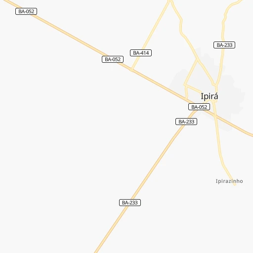
How to get from Ipirá (Bahia) to Estância (Sergipe)
Calculate route from Ipirá (Bahia, Brazil) to Estância (Sergipe, Brazil).
The flight distance (as the crow flies) between Ipirá and Estância is 269.0 km.
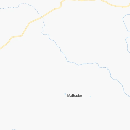
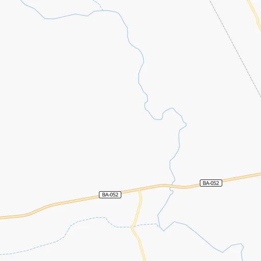
Roadmap (route) to go from Ipirá to Estância detailed above, you can also see the course layout on the map.
While doing trip Ipirá - Estância by car, the calculated route ends at a distance , or more straight.
Distance and duration of the route between Ipirá and Estância
Calculation of distance and route from Estância to Ipirá :
269.0334.6 km5h37mn
Continue onto Rua Landulfo Alves 0h1mn 351 mTurn right onto Rua Landulfo Alves 0h0mn 217 mTurn left onto Avenida Henrique Praguer 0h0mn 296 mTurn left onto BA-052 0h27mn 32.5 kmKeep right 0h0mn 125 mAt roundabout, take exit 2 0h0mn 178 mTurn slight right onto Estrada do Feijão 1h44mn 52.0 kmKeep right 0h4mn 5.9 kmKeep right onto Avenida Eduardo Froes da Mota and drive toward Salvador 0h6mn 7.1 kmKeep right and drive toward Salvador 0h13mn 15.7 kmKeep right and take BR-101 toward Alagoinhas, Aracaju 0h0mn 380 mContinue onto Rodovia Governador Mário Covas 1h32mn 49.1 kmTurn sharp left 0h0mn 29 mTurn right 0h2mn 1.8 kmAt roundabout, take exit 1 onto Rua Quinze de Novembro 0h0mn 48 mTurn slight right onto Rua Aristoteles Souza Dantes 0h3mn 3.5 kmTurn right 0h0mn 12 mTurn left onto Rua Quinze de Novembro 0h1mn 1.4 kmContinue onto Rua Castro Leal 0h0mn 97 mKeep right onto Rua Castro Leal 0h0mn 95 mTurn left onto Rua Conselheiro Saraiva 0h0mn 271 mTurn right onto Rua 24 de Maio 0h4mn 3.8 kmTurn left onto Rodovia Governador Mário Covas 2h58mn 136.2 kmKeep right 0h0mn 53 mAt roundabout, take exit 2 0h0mn 75 mTurn slight right onto Rodovia Governador Mário Covas 0h19mn 22.6 kmTurn right onto Rua Jesse Fontes 0h0mn 28 mTurn slight right onto Rua Doutor Jesse Fontes 0h1mn 298 mTurn left onto Rua Camerino 0h0mn 131 mTurn left onto Travessa da Independência 0h0mn 44 mContinue onto Rua Joaquim Calazans 0h0mn 109 mTurn right onto Rua Joaquim Calazans 0h0mn 64 mArrive at destination 0h0mn 0 m
Travel from Ipirá (Sergipe) to a selection of major cities.
Distances from Ipirá to biggest cities in Bahia
- Serrinha,49,078 inhabitants.97 km
- Senhor do Bonfim,48,471 inhabitants.195 km
- Cruz das Almas,47,844 inhabitants.90 km
- Jacobina,47,637 inhabitants.138 km
- Itamaraju,47,628 inhabitants.544 km
- Itaberaba,47,301 inhabitants.74 km
- Santo Amaro,46,748 inhabitants.120 km
- Brumado,41,989 inhabitants.309 km
- Jaguaquara,41,498 inhabitants.155 km
- Bom Jesus da Lapa,40,691 inhabitants.418 km
- Catu,39,932 inhabitants.149 km
- Ipiau,38,762 inhabitants.220 km
- Xique Xique,35,433 inhabitants.359 km
- Pocoes,35,254 inhabitants.273 km
- Conceicao do Coite,35,171 inhabitants.83 km
- Coaraci,32,344 inhabitants.277 km
- Tucano,31,203 inhabitants.169 km
- Sao Sebastiao do Passe,31,049 inhabitants.141 km
- Vera Cruz,30,556 inhabitants.151 km
- Euclides da Cunha,29,738 inhabitants.200 km
Other major cities in country :
- Campo Grande [11], 729,151 inhabitants. 1,839 km
- Jaboatao [30], 702,621 inhabitants. 682 km
- Osasco [27], 677,856 inhabitants. 1,470 km
- Santo Andre [27], 662,373 inhabitants. 1,469 km
- Joao Pessoa [17], 650,883 inhabitants. 775 km
- Jaboatao dos Guararapes [30], 630,008 inhabitants. 686 km
- Contagem [15], 627,123 inhabitants. 981 km
- Ribeirao Preto [27], 619,746 inhabitants. 1,322 km
- Sao Jose dos Campos [27], 613,764 inhabitants. 1,389 km
- Uberlandia [15], 563,536 inhabitants. 1,185 km
- Sorocaba [27], 558,862 inhabitants. 1,504 km
- Cuiaba [14], 521,934 inhabitants. 1,808 km
- Aparecida de Goiania [29], 510,770 inhabitants. 1,148 km
- Aracaju [28], 490,175 inhabitants. 322 km
- Londrina [18], 471,832 inhabitants. 1,733 km
- Juiz de Fora [15], 470,193 inhabitants. 1,136 km
- Belford Roxo [21], 466,096 inhabitants. 1,243 km
- Joinville [26], 461,304 inhabitants. 1,841 km
- Niteroi [21], 456,456 inhabitants. 1,246 km
- Sao Joao de Meriti [21], 454,849 inhabitants. 1,246 km
Route from Estância to major cities (Brazil).
- Distance Estância Sao Paulo1,679 km
- Distance Estância Rio de Janeiro1,432 km
- Distance Estância Salvador223 km
- Distance Estância Fortaleza849 km
- Distance Estância Belo Horizonte1,188 km
- Distance Estância Brasilia1,241 km
- Distance Estância Curitiba2,009 km
- Distance Estância Manaus2,653 km
- Distance Estância Recife455 km
- Distance Estância Belem1,640 km
- Distance Estância Porto Alegre2,530 km
- Distance Estância Goiania1,411 km
- Distance Estância Guarulhos1,665 km
- Distance Estância Campinas1,650 km
- Distance Estância Nova Iguacu1,430 km
- Distance Estância Maceio258 km
- Distance Estância Sao Luis1,233 km
- Distance Estância Duque de Caxias1,426 km
- Distance Estância Natal657 km
- Distance Estância Teresina907 km
Nearest cities to Ipirá :
- Salvador, 2,711,840 inhabitants. 161 km
- Aracaju, 490,175 inhabitants. 322 km
- Feira de Santana, 481,911 inhabitants. 85 km
- Vitoria da Conquista, 253,137 inhabitants. 324 km
- Itabuna, 205,660 inhabitants. 297 km
- Petrolina, 194,650 inhabitants. 318 km
- Camacari, 188,758 inhabitants. 165 km
- Nossa Senhora do Socorro, 163,993 inhabitants. 320 km
- Ilheus, 155,499 inhabitants. 303 km
- Lauro de Freitas, 141,280 inhabitants. 174 km
- Jequie, 127,475 inhabitants. 193 km
- Alagoinhas, 122,688 inhabitants. 143 km
- Simoes Filho, 116,662 inhabitants. 161 km
- Paulo Afonso, 85,350 inhabitants. 349 km
- Santo Antonio de Jesus, 73,957 inhabitants. 104 km
- Sao Cristovao, 71,539 inhabitants. 304 km
- Itabaiana, 63,888 inhabitants. 301 km
- Irece, 63,626 inhabitants. 250 km
- Valenca, 63,231 inhabitants. 153 km
- Estancia, 55,654 inhabitants. 269 km
- Serrinha, 49,078 inhabitants. 97 km
- Senhor do Bonfim, 48,471 inhabitants. 195 km
- Cruz das Almas, 47,844 inhabitants. 90 km
- Jacobina, 47,637 inhabitants. 138 km
- Itaberaba, 47,301 inhabitants. 74 km
- Santo Amaro, 46,748 inhabitants. 120 km
- Lagarto, 45,445 inhabitants. 266 km
- Brumado, 41,989 inhabitants. 309 km
- Jaguaquara, 41,498 inhabitants. 155 km
- Catu, 39,932 inhabitants. 149 km
- Ipiau, 38,762 inhabitants. 220 km
- Xique Xique, 35,433 inhabitants. 359 km
- Delmiro Gouveia, 35,259 inhabitants. 362 km
- Pocoes, 35,254 inhabitants. 273 km
- Conceicao do Coite, 35,171 inhabitants. 83 km
- Coaraci, 32,344 inhabitants. 277 km
- Tucano, 31,203 inhabitants. 169 km
- Sao Sebastiao do Passe, 31,049 inhabitants. 141 km
- Vera Cruz, 30,556 inhabitants. 151 km
- Tobias Barreto, 29,740 inhabitants. 218 km
- Euclides da Cunha, 29,738 inhabitants. 200 km
- Barra dos Coqueiros, 28,586 inhabitants. 326 km
- Ubaitaba, 28,375 inhabitants. 244 km
- Ribeira do Pombal, 28,235 inhabitants. 197 km
- Entre Rios, 27,405 inhabitants. 182 km
- Santo Estevao, 27,279 inhabitants. 61 km
- Ipira, 27,217 inhabitants. 0 km
- Caetite, 27,187 inhabitants. 365 km
- Mata de Sao Joao, 26,679 inhabitants. 162 km
- Santana do Ipanema, 26,146 inhabitants. 412 km
Location Ipirá (Bahia) :
| Country flag |  |
| Location | Ipirá |
| State | Bahia |
| County | Ipirá |
| Country | Brazil |
| Country code / ISO 2 | BR |
| Latitude | -12.1583300 |
| Longitude | -39.7372200 |
| Altitude | 0 meters |
| Time zone | America/Bahia |
Location Estância (Sergipe) :
| Country flag | |
| Location | Estância |
| State | Sergipe |
| County | Estância |
| Country | Brazil |
| Country code / ISO 2 | BR |
| Latitude | -11.2683300 |
| Longitude | -37.4383300 |
| Altitude | 0 meters |
| Time zone | America/Maceio |