

How to get from Itamarandiba (Minas Gerais) to Patrocínio (Minas Gerais)
Calculate route from Itamarandiba (Minas Gerais, Brazil) to Patrocínio (Minas Gerais, Brazil).
The flight distance (as the crow flies) between Itamarandiba and Patrocínio is 452.3 km.
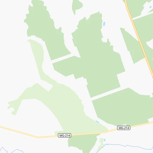
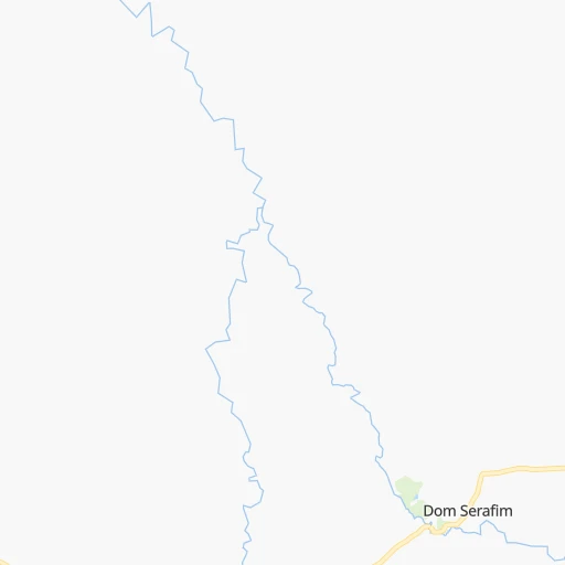
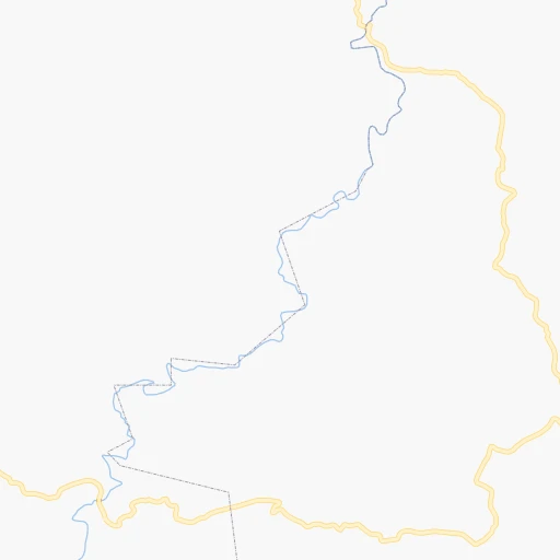
Roadmap (route) to go from Itamarandiba to Patrocínio detailed above, you can also see the course layout on the map.
While doing trip Itamarandiba - Patrocínio by car, the calculated route ends at a distance , or more straight.
Distance and duration of the route between Itamarandiba and Patrocínio
Calculation of distance and route from Patrocínio to Itamarandiba :
452.3631.3 km10h42mn
Continue onto Rua Padre Joáo Afonso 0h2mn 2.4 kmAt roundabout, take exit 2 2h4mn 78.9 kmTurn left onto BR-367, MGC-367 1h31mn 36.6 kmKeep right 0h0mn 199 mKeep right 0h0mn 85 mTurn slight right onto BR-367, MGC-367 0h6mn 5.0 kmKeep right 0h0mn 54 mAt roundabout, take exit 3 0h0mn 111 mTurn slight right onto BR-367, MGC-367 0h2mn 1.4 kmAt roundabout, take exit 1 onto Avenida João Antunes 0h0mn 344 mContinue onto Avenida João Antunes de Oliveira 0h3mn 3.8 kmKeep right 0h0mn 81 mTurn slight right onto BR-367, MGC-367 0h21mn 22.7 kmKeep right 0h7mn 7.0 kmKeep right onto BR-367, MGC-367 0h0mn 90 mAt roundabout, take exit 3 0h0mn 165 mTurn slight right onto Rodovia BR-259 1h18mn 90.7 kmKeep right 0h1mn 881 mAt roundabout, take exit 3 onto Avenida Juscelino Kubitschek 0h1mn 964 mAt roundabout, take exit 2 0h1mn 529 mTurn right onto Rua Joaquim Felício 1h41mn 45.1 kmAt roundabout, take exit 1 0h0mn 92 mTurn slight right onto Rodovia Presidente Juscelino Kubitschek 2h33mn 136.0 kmKeep left onto BR-040 0h0mn 121 mKeep left onto BR-040 0h0mn 119 mKeep right onto BR-365 2h50mn 128.4 kmContinue onto BR-365 1h58mn 67.1 kmKeep left 0h0mn 103 mTurn right onto Avenida Rui Barbosa 0h1mn 812 mTurn slight right 0h1mn 1.3 kmTurn right onto Rua Elmiro Alves do Nascimento 0h0mn 57 mTurn left onto Rua Governador Valadares 0h0mn 167 mTurn left onto Rua Coronel João Cândido de Aguiar 0h0mn 25 mArrive at destination 0h0mn 0 m
Travel from Itamarandiba (Minas Gerais) to a selection of major cities.
Distances from Itamarandiba to biggest cities in Minas Gerais
- Esmeraldas,103,206 inhabitants.262 km
- Teofilo Otoni,101,170 inhabitants.143 km
- Coronel Fabriciano,100,916 inhabitants.187 km
- Itabira,99,496 inhabitants.200 km
- Passos,98,752 inhabitants.507 km
- Uba,97,828 inhabitants.363 km
- Araguari,96,565 inhabitants.570 km
- Vespasiano,94,749 inhabitants.233 km
- Timoteo,91,722 inhabitants.193 km
- Muriae,91,173 inhabitants.368 km
- Nova Lima,88,399 inhabitants.259 km
- Ituiutaba,85,345 inhabitants.708 km
- Araxa,82,595 inhabitants.472 km
- Itajuba,81,870 inhabitants.576 km
- Lavras,81,472 inhabitants.439 km
- Sao Joao del Rei,78,592 inhabitants.394 km
- Itauna,77,400 inhabitants.306 km
- Para de Minas,75,786 inhabitants.289 km
- Joao Monlevade,72,762 inhabitants.220 km
- Patrocinio,71,963 inhabitants.453 km
Other major cities in country :
- Campo Grande [11], 729,151 inhabitants. 1,272 km
- Jaboatao [30], 702,621 inhabitants. 1,373 km
- Osasco [27], 677,856 inhabitants. 753 km
- Santo Andre [27], 662,373 inhabitants. 751 km
- Joao Pessoa [17], 650,883 inhabitants. 1,477 km
- Jaboatao dos Guararapes [30], 630,008 inhabitants. 1,378 km
- Ribeirao Preto [27], 619,746 inhabitants. 637 km
- Sao Jose dos Campos [27], 613,764 inhabitants. 671 km
- Sorocaba [27], 558,862 inhabitants. 790 km
- Cuiaba [14], 521,934 inhabitants. 1,433 km
- Aparecida de Goiania [29], 510,770 inhabitants. 688 km
- Aracaju [28], 490,175 inhabitants. 993 km
- Feira de Santana [05], 481,911 inhabitants. 750 km
- Londrina [18], 471,832 inhabitants. 1,057 km
- Belford Roxo [21], 466,096 inhabitants. 549 km
- Joinville [26], 461,304 inhabitants. 1,125 km
- Niteroi [21], 456,456 inhabitants. 560 km
- Sao Joao de Meriti [21], 454,849 inhabitants. 553 km
- Ananindeua [16], 433,956 inhabitants. 1,932 km
- Florianopolis [26], 412,724 inhabitants. 1,231 km
Route from Patrocínio to major cities (Brazil).
- Distance Patrocínio Sao Paulo514 km
- Distance Patrocínio Rio de Janeiro593 km
- Distance Patrocínio Salvador1,125 km
- Distance Patrocínio Fortaleza1,928 km
- Distance Patrocínio Brasilia366 km
- Distance Patrocínio Curitiba759 km
- Distance Patrocínio Manaus2,263 km
- Distance Patrocínio Recife1,784 km
- Distance Patrocínio Belem1,954 km
- Distance Patrocínio Porto Alegre1,307 km
- Distance Patrocínio Goiania348 km
- Distance Patrocínio Guarulhos505 km
- Distance Patrocínio Campinas441 km
- Distance Patrocínio Nova Iguacu562 km
- Distance Patrocínio Maceio1,593 km
- Distance Patrocínio Sao Luis1,851 km
- Distance Patrocínio Duque de Caxias574 km
- Distance Patrocínio Natal1,943 km
- Distance Patrocínio Teresina1,608 km
- Distance Patrocínio Sao Bernardo do Campo531 km
Nearest cities to Itamarandiba :
- Belo Horizonte, 2,373,224 inhabitants. 256 km
- Contagem, 627,123 inhabitants. 263 km
- Ribeirao das Neves, 406,802 inhabitants. 249 km
- Vila Velha, 394,930 inhabitants. 386 km
- Serra, 394,153 inhabitants. 369 km
- Betim, 384,000 inhabitants. 274 km
- Montes Claros, 332,379 inhabitants. 164 km
- Vitoria, 312,656 inhabitants. 381 km
- Vitoria da Conquista, 253,137 inhabitants. 397 km
- Governador Valadares, 250,878 inhabitants. 147 km
- Santa Luzia, 243,503 inhabitants. 237 km
- Ipatinga, 228,746 inhabitants. 183 km
- Sete Lagoas, 201,334 inhabitants. 231 km
- Divinopolis, 193,832 inhabitants. 332 km
- Cachoeiro de Itapemirim, 187,019 inhabitants. 380 km
- Ibirite, 141,374 inhabitants. 272 km
- Conselheiro Lafaiete, 111,596 inhabitants. 327 km
- Linhares, 105,075 inhabitants. 340 km
- Esmeraldas, 103,206 inhabitants. 262 km
- Colatina, 101,190 inhabitants. 300 km
- Teofilo Otoni, 101,170 inhabitants. 143 km
- Guarapari, 100,925 inhabitants. 399 km
- Coronel Fabriciano, 100,916 inhabitants. 187 km
- Itabira, 99,496 inhabitants. 200 km
- Vespasiano, 94,749 inhabitants. 233 km
- Timoteo, 91,722 inhabitants. 193 km
- Nova Lima, 88,399 inhabitants. 259 km
- Itauna, 77,400 inhabitants. 306 km
- Sao Mateus, 77,117 inhabitants. 331 km
- Para de Minas, 75,786 inhabitants. 289 km
- Joao Monlevade, 72,762 inhabitants. 220 km
- Vicosa, 68,680 inhabitants. 322 km
- Curvelo, 63,954 inhabitants. 194 km
- Ouro Preto, 63,678 inhabitants. 291 km
- Caratinga, 60,066 inhabitants. 228 km
- Itapetinga, 59,721 inhabitants. 402 km
- Aracruz, 58,271 inhabitants. 349 km
- Janauba, 56,572 inhabitants. 234 km
- Formiga, 56,404 inhabitants. 396 km
- Viana, 55,122 inhabitants. 376 km
- Manhuacu, 54,607 inhabitants. 281 km
- Pirapora, 51,656 inhabitants. 228 km
- Pedro Leopoldo, 49,261 inhabitants. 232 km
- Congonhas, 48,819 inhabitants. 313 km
- Ponte Nova, 48,187 inhabitants. 285 km
- Mariana, 45,236 inhabitants. 287 km
- Lagoa da Prata, 43,118 inhabitants. 371 km
- Bom Despacho, 40,303 inhabitants. 328 km
- Itabirito, 39,452 inhabitants. 285 km
- Lagoa Santa, 38,486 inhabitants. 226 km
Location Itamarandiba (Minas Gerais) :
| Country flag |  |
| Location | Itamarandiba |
| State | Minas Gerais |
| County | Itamarandiba |
| Country | Brazil |
| Country code / ISO 2 | BR |
| Latitude | -17.8572200 |
| Longitude | -42.8588900 |
| Altitude | 0 meters |
| Time zone | America/Sao_Paulo |
Location Patrocínio (Minas Gerais) :
| Country flag | |
| Location | Patrocínio |
| State | Minas Gerais |
| County | Patrocínio |
| Country | Brazil |
| Country code / ISO 2 | BR |
| Latitude | -18.9438900 |
| Longitude | -46.9925000 |
| Altitude | 0 meters |
| Time zone | America/Sao_Paulo |

