


How to get from Perobas (Espírito Santo) to Viana (Espírito Santo)
Calculate route from Perobas (Espírito Santo, Brazil) to Viana (Espírito Santo, Brazil).
The flight distance (as the crow flies) between Perobas and Viana is 81.2 km.
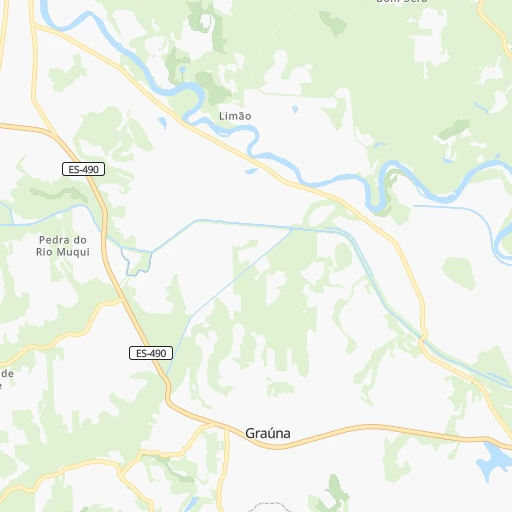
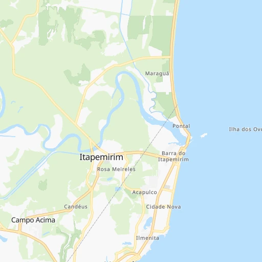
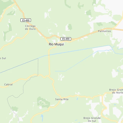
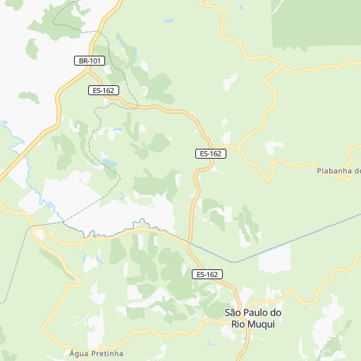
Roadmap (route) to go from Perobas to Viana detailed above, you can also see the course layout on the map.
While doing trip Perobas - Viana by car, the calculated route ends at a distance , or more straight.
Distance and duration of the route between Perobas and Viana
Calculation of distance and route from Viana to Perobas :
81.2110.1 km2h44mn
Continue onto Rodovia João Francisco Vieira 0h4mn 3.7 kmTurn left 0h2mn 1.8 kmTurn slight left onto Estrada de Rio Novo 0h1mn 737 mTurn right onto Estrada do Penedo 0h5mn 4.6 kmTurn sharp left onto Rodovia João Marques Soares 0h9mn 7.8 kmKeep right onto Avenida Beira-Mar 0h3mn 2.7 kmTurn left onto Rua Antonio Cordeiro Marvila 0h0mn 164 mTurn right onto Avenida Itapemirim 0h8mn 6.0 kmTurn right onto Rua Itaperuna 0h5mn 2.9 kmTurn left onto Rua Elizeu Xavier 0h1mn 535 mTurn left onto Avenida Espírito Santo 0h0mn 127 mTurn right onto Avenida Izaías Scherrer 0h0mn 278 mTurn left onto Rua Morro do Eucalipto II 0h0mn 88 mContinue onto Rua Principal Morro dos Eucaliptos 0h1mn 504 mTurn left onto Rodovia Jorge Feres 0h8mn 7.8 kmAt roundabout, take exit 2 onto Rodovia Governador Mário Covas 0h29mn 34.0 kmKeep right onto Rodovia Governador Mário Covas 0h23mn 31.8 kmKeep right and drive toward Belo Horizonte 0h1mn 782 mContinue onto Rodovia Federal Deputado Aloízio Santos 0h1mn 778 mKeep right toward BR-262 0h0mn 161 mTurn slight right onto Rodovia Federal Deputado Aloízio Santos 0h3mn 2.4 kmAt roundabout, take exit 2 onto Rua Jerônimo Leite 0h0mn 81 mKeep right onto Rua Jerônimo Leite 0h0mn 43 mContinue onto Avenida Florentino Avidos 0h0mn 32 mTurn left onto Rua Luiz Lyrio 0h0mn 91 mAt roundabout, take exit 2 onto Rua Frederico Ozanan 0h0mn 98 mArrive at destination 0h0mn 0 m
Travel from Perobas (Espírito Santo) to a selection of major cities.
Distances from Perobas to biggest cities in Espírito Santo
Other major cities in country :
- Sao Bernardo do Campo [27], 743,372 inhabitants. 657 km
- Campo Grande [11], 729,151 inhabitants. 1,436 km
- Jaboatao [30], 702,621 inhabitants. 1,563 km
- Osasco [27], 677,856 inhabitants. 671 km
- Santo Andre [27], 662,373 inhabitants. 653 km
- Joao Pessoa [17], 650,883 inhabitants. 1,679 km
- Jaboatao dos Guararapes [30], 630,008 inhabitants. 1,570 km
- Contagem [15], 627,123 inhabitants. 354 km
- Ribeirao Preto [27], 619,746 inhabitants. 721 km
- Sao Jose dos Campos [27], 613,764 inhabitants. 570 km
- Uberlandia [15], 563,536 inhabitants. 810 km
- Sorocaba [27], 558,862 inhabitants. 732 km
- Cuiaba [14], 521,934 inhabitants. 1,718 km
- Aparecida de Goiania [29], 510,770 inhabitants. 999 km
- Aracaju [28], 490,175 inhabitants. 1,198 km
- Feira de Santana [05], 481,911 inhabitants. 997 km
- Londrina [18], 471,832 inhabitants. 1,091 km
- Juiz de Fora [15], 470,193 inhabitants. 270 km
- Belford Roxo [21], 466,096 inhabitants. 325 km
- Joinville [26], 461,304 inhabitants. 1,003 km
Route from Viana to major cities (Brazil).
- Distance Viana Sao Paulo725 km
- Distance Viana Rio de Janeiro395 km
- Distance Viana Salvador853 km
- Distance Viana Fortaleza1,868 km
- Distance Viana Belo Horizonte363 km
- Distance Viana Brasilia939 km
- Distance Viana Curitiba1,060 km
- Distance Viana Manaus2,862 km
- Distance Viana Recife1,500 km
- Distance Viana Belem2,281 km
- Distance Viana Porto Alegre1,522 km
- Distance Viana Goiania1,012 km
- Distance Viana Guarulhos711 km
- Distance Viana Campinas735 km
- Distance Viana Nova Iguacu404 km
- Distance Viana Maceio1,299 km
- Distance Viana Sao Luis2,031 km
- Distance Viana Duque de Caxias395 km
- Distance Viana Natal1,722 km
- Distance Viana Teresina1,721 km
Nearest cities to Perobas :
- Rio de Janeiro, 6,023,699 inhabitants. 317 km
- Nova Iguacu, 1,002,118 inhabitants. 329 km
- Duque de Caxias, 818,329 inhabitants. 319 km
- Juiz de Fora, 470,193 inhabitants. 270 km
- Belford Roxo, 466,096 inhabitants. 325 km
- Niteroi, 456,456 inhabitants. 309 km
- Sao Joao de Meriti, 454,849 inhabitants. 325 km
- Vila Velha, 394,930 inhabitants. 99 km
- Serra, 394,153 inhabitants. 116 km
- Campos dos Goytacazes, 387,417 inhabitants. 93 km
- Vitoria, 312,656 inhabitants. 97 km
- Petropolis, 272,691 inhabitants. 290 km
- Governador Valadares, 250,878 inhabitants. 268 km
- Santa Luzia, 243,503 inhabitants. 342 km
- Ipatinga, 228,746 inhabitants. 247 km
- Cachoeiro de Itapemirim, 187,019 inhabitants. 33 km
- Itaborai, 182,498 inhabitants. 280 km
- Nova Friburgo, 153,361 inhabitants. 221 km
- Nilopolis, 147,281 inhabitants. 329 km
- Macae, 143,029 inhabitants. 178 km
- Queimados, 135,741 inhabitants. 335 km
- Teresopolis, 123,979 inhabitants. 267 km
- Barbacena, 122,211 inhabitants. 303 km
- Conselheiro Lafaiete, 111,596 inhabitants. 307 km
- Araruama, 109,637 inhabitants. 255 km
- Cabo Frio, 108,239 inhabitants. 239 km
- Linhares, 105,075 inhabitants. 201 km
- Colatina, 101,190 inhabitants. 168 km
- Guarapari, 100,925 inhabitants. 55 km
- Coronel Fabriciano, 100,916 inhabitants. 250 km
- Itaguai, 100,752 inhabitants. 362 km
- Rio das Ostras, 100,000 inhabitants. 200 km
- Itabira, 99,496 inhabitants. 292 km
- Uba, 97,828 inhabitants. 216 km
- Japeri, 95,101 inhabitants. 339 km
- Timoteo, 91,722 inhabitants. 247 km
- Muriae, 91,173 inhabitants. 156 km
- Nova Lima, 88,399 inhabitants. 332 km
- Barra do Pirai, 87,668 inhabitants. 345 km
- Itaperuna, 84,435 inhabitants. 108 km
- Marica, 79,551 inhabitants. 291 km
- Sao Mateus, 77,117 inhabitants. 278 km
- Joao Monlevade, 72,762 inhabitants. 277 km
- Tres Rios, 71,944 inhabitants. 271 km
- Vicosa, 68,680 inhabitants. 212 km
- Ouro Preto, 63,678 inhabitants. 284 km
- Cataguases, 62,618 inhabitants. 194 km
- Saquarema, 62,056 inhabitants. 270 km
- Valenca, 61,144 inhabitants. 323 km
- Caratinga, 60,066 inhabitants. 192 km
Location Perobas (Espírito Santo) :
| Country flag |  |
| Location | Perobas |
| State | Espírito Santo |
| County | Itapemirim |
| Country | Brazil |
| Country code / ISO 2 | BR |
| Latitude | -21.0333300 |
| Longitude | -40.8666700 |
| Altitude | 0 meters |
| Time zone | America/Sao_Paulo |
Location Viana (Espírito Santo) :
| Country flag | |
| Location | Viana |
| State | Espírito Santo |
| County | Viana |
| Country | Brazil |
| Country code / ISO 2 | BR |
| Latitude | -20.3902800 |
| Longitude | -40.4961100 |
| Altitude | 0 meters |
| Time zone | America/Sao_Paulo |