
How to get from Pontal (Minas Gerais) to Patrocínio (Minas Gerais)
Calculate route from Pontal (Minas Gerais, Brazil) to Patrocínio (Minas Gerais, Brazil).
The flight distance (as the crow flies) between Pontal and Patrocínio is 453.6 km.
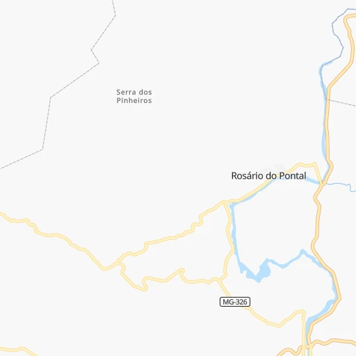
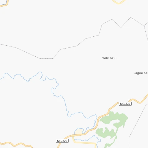
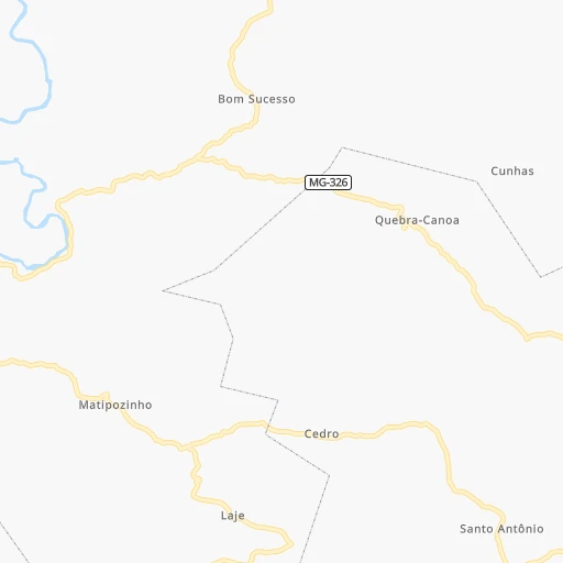
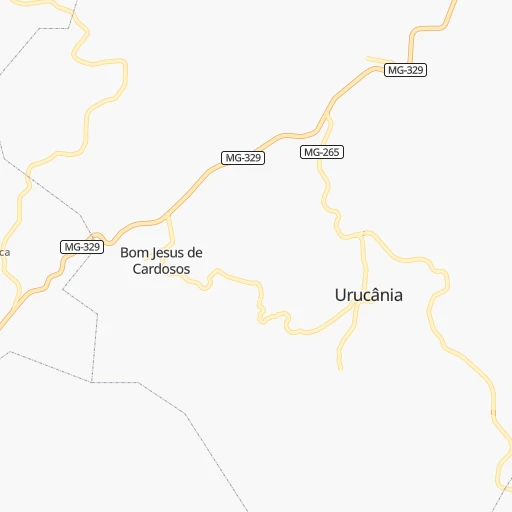
Roadmap (route) to go from Pontal to Patrocínio detailed above, you can also see the course layout on the map.
While doing trip Pontal - Patrocínio by car, the calculated route ends at a distance , or more straight.
Distance and duration of the route between Pontal and Patrocínio
Calculation of distance and route from Patrocínio to Pontal :
453.6586.3 km8h28mn
Continue 0h1mn 447 mContinue 0h0mn 65 mTurn right 0h2mn 1.0 kmTurn sharp right 0h4mn 2.0 kmTurn left 0h1mn 590 mTurn slight right onto BR-120, MGC-120 0h4mn 4.8 kmAt roundabout, take exit 1 onto MG-262 1h6mn 71.8 kmKeep right 0h11mn 7.6 kmTurn sharp right onto Rua Professor Ros P Gomes 0h0mn 52 mTurn sharp left onto Rua Salvador Tropia de Lima 0h0mn 137 mTurn sharp right onto Rua Padre Rolim 0h4mn 2.2 kmTurn right 0h0mn 215 mTurn left onto Rua Passa Dez 0h1mn 260 mTurn right onto AMG-1725 0h2mn 1.4 kmAt roundabout, take exit 1 onto AMG-1725 1h48mn 49.7 kmKeep right 0h0mn 320 mKeep right onto ITA-140 0h0mn 523 mKeep right 0h13mn 13.0 kmKeep right and take BR-040, BR-356 toward Belo Horizonte 0h13mn 19.7 kmKeep right onto Anel Rodoviário Celso Mello de Azevedo 0h8mn 8.1 kmKeep right onto Rua Lafaiete Beltrão and take BR-381, BR-262 toward Centro 0h0mn 375 mKeep left toward BR-381, BR-262 0h0mn 47 mTurn sharp left onto Avenida Amazonas 0h7mn 8.4 kmKeep right toward BR-381, BR-262 0h0mn 161 mKeep left toward BR-381, BR-262 0h6mn 7.9 kmKeep right onto Rodovia Fernão Dias and drive toward Betim 0h5mn 6.2 kmKeep right and take BR-262 toward Triângulo Mineiro, Divinópolis, Cuiabá 0h7mn 9.4 kmKeep right and drive toward Belo Horizonte 0h1mn 730 mKeep right 1h18mn 109.3 kmKeep right 0h0mn 191 mKeep left 0h0mn 92 mContinue onto BR-262 0h3mn 2.9 kmKeep right and take MG-164 toward Santo Antônio do Monte, Bom Despacho 0h0mn 104 mAt roundabout, take exit 2 0h0mn 108 mTurn slight right onto BR-262 2h43mn 121.3 kmKeep right onto Rodovia Senador Eliseu Resende 0h26mn 31.3 kmKeep right onto MG-187 0h0mn 239 mContinue onto MG-187 1h49mn 58.7 kmKeep left 0h0mn 52 mTurn left onto BR-146 0h0mn 67 mKeep right onto MG-187 1h37mn 40.5 kmTurn sharp left onto Avenida Dom Almir Marques 0h3mn 2.6 kmAt roundabout, take exit 1 0h1mn 852 mTurn left onto Rua Marechal Floriano 0h1mn 535 mTurn right onto Rua Cesário Alvim 0h0mn 190 mTurn right onto Rua Coronel João Cândido de Aguiar 0h0mn 73 mArrive at destination 0h0mn 0 m
Travel from Pontal (Minas Gerais) to a selection of major cities.
Distances from Pontal to biggest cities in Minas Gerais
- Esmeraldas,103,206 inhabitants.159 km
- Teofilo Otoni,101,170 inhabitants.313 km
- Coronel Fabriciano,100,916 inhabitants.96 km
- Itabira,99,496 inhabitants.86 km
- Passos,98,752 inhabitants.387 km
- Uba,97,828 inhabitants.88 km
- Araguari,96,565 inhabitants.584 km
- Vespasiano,94,749 inhabitants.127 km
- Timoteo,91,722 inhabitants.88 km
- Muriae,91,173 inhabitants.106 km
- Nova Lima,88,399 inhabitants.105 km
- Ituiutaba,85,345 inhabitants.703 km
- Araxa,82,595 inhabitants.429 km
- Itajuba,81,870 inhabitants.351 km
- Lavras,81,472 inhabitants.239 km
- Sao Joao del Rei,78,592 inhabitants.166 km
- Itauna,77,400 inhabitants.176 km
- Para de Minas,75,786 inhabitants.185 km
- Joao Monlevade,72,762 inhabitants.64 km
- Patrocinio,71,963 inhabitants.454 km
Other major cities in country :
- Campo Grande [11], 729,151 inhabitants. 1,224 km
- Jaboatao [30], 702,621 inhabitants. 1,599 km
- Osasco [27], 677,856 inhabitants. 536 km
- Santo Andre [27], 662,373 inhabitants. 526 km
- Joao Pessoa [17], 650,883 inhabitants. 1,709 km
- Jaboatao dos Guararapes [30], 630,008 inhabitants. 1,604 km
- Ribeirao Preto [27], 619,746 inhabitants. 518 km
- Sao Jose dos Campos [27], 613,764 inhabitants. 441 km
- Sorocaba [27], 558,862 inhabitants. 587 km
- Cuiaba [14], 521,934 inhabitants. 1,491 km
- Aparecida de Goiania [29], 510,770 inhabitants. 773 km
- Aracaju [28], 490,175 inhabitants. 1,221 km
- Feira de Santana [05], 481,911 inhabitants. 992 km
- Londrina [18], 471,832 inhabitants. 914 km
- Belford Roxo [21], 466,096 inhabitants. 275 km
- Joinville [26], 461,304 inhabitants. 899 km
- Niteroi [21], 456,456 inhabitants. 285 km
- Sao Joao de Meriti [21], 454,849 inhabitants. 279 km
- Ananindeua [16], 433,956 inhabitants. 2,193 km
- Florianopolis [26], 412,724 inhabitants. 991 km
Route from Patrocínio to major cities (Brazil).
- Distance Patrocínio Sao Paulo514 km
- Distance Patrocínio Rio de Janeiro593 km
- Distance Patrocínio Salvador1,125 km
- Distance Patrocínio Fortaleza1,928 km
- Distance Patrocínio Brasilia366 km
- Distance Patrocínio Curitiba759 km
- Distance Patrocínio Manaus2,263 km
- Distance Patrocínio Recife1,784 km
- Distance Patrocínio Belem1,954 km
- Distance Patrocínio Porto Alegre1,307 km
- Distance Patrocínio Goiania348 km
- Distance Patrocínio Guarulhos505 km
- Distance Patrocínio Campinas441 km
- Distance Patrocínio Nova Iguacu562 km
- Distance Patrocínio Maceio1,593 km
- Distance Patrocínio Sao Luis1,851 km
- Distance Patrocínio Duque de Caxias574 km
- Distance Patrocínio Natal1,943 km
- Distance Patrocínio Teresina1,608 km
- Distance Patrocínio Sao Bernardo do Campo531 km
Nearest cities to Pontal :
- Rio de Janeiro, 6,023,699 inhabitants. 288 km
- Belo Horizonte, 2,373,224 inhabitants. 116 km
- Nova Iguacu, 1,002,118 inhabitants. 276 km
- Duque de Caxias, 818,329 inhabitants. 276 km
- Contagem, 627,123 inhabitants. 127 km
- Sao Jose dos Campos, 613,764 inhabitants. 441 km
- Juiz de Fora, 470,193 inhabitants. 166 km
- Belford Roxo, 466,096 inhabitants. 275 km
- Niteroi, 456,456 inhabitants. 285 km
- Sao Joao de Meriti, 454,849 inhabitants. 279 km
- Ribeirao das Neves, 406,802 inhabitants. 138 km
- Vila Velha, 394,930 inhabitants. 274 km
- Serra, 394,153 inhabitants. 273 km
- Campos dos Goytacazes, 387,417 inhabitants. 228 km
- Betim, 384,000 inhabitants. 140 km
- Vitoria, 312,656 inhabitants. 269 km
- Petropolis, 272,691 inhabitants. 243 km
- Taubate, 251,641 inhabitants. 405 km
- Governador Valadares, 250,878 inhabitants. 194 km
- Volta Redonda, 249,580 inhabitants. 273 km
- Santa Luzia, 243,503 inhabitants. 116 km
- Ipatinga, 228,746 inhabitants. 104 km
- Sete Lagoas, 201,334 inhabitants. 169 km
- Divinopolis, 193,832 inhabitants. 207 km
- Cachoeiro de Itapemirim, 187,019 inhabitants. 197 km
- Itaborai, 182,498 inhabitants. 268 km
- Barra Mansa, 164,052 inhabitants. 278 km
- Angra dos Reis, 153,635 inhabitants. 331 km
- Nova Friburgo, 153,361 inhabitants. 221 km
- Nilopolis, 147,281 inhabitants. 280 km
- Macae, 143,029 inhabitants. 257 km
- Ibirite, 141,374 inhabitants. 124 km
- Queimados, 135,741 inhabitants. 273 km
- Pindamonhangaba, 132,218 inhabitants. 391 km
- Teresopolis, 123,979 inhabitants. 232 km
- Barbacena, 122,211 inhabitants. 134 km
- Varginha, 116,571 inhabitants. 294 km
- Conselheiro Lafaiete, 111,596 inhabitants. 98 km
- Resende, 111,514 inhabitants. 286 km
- Araruama, 109,637 inhabitants. 289 km
- Cabo Frio, 108,239 inhabitants. 299 km
- Guaratingueta, 105,880 inhabitants. 363 km
- Linhares, 105,075 inhabitants. 316 km
- Esmeraldas, 103,206 inhabitants. 159 km
- Colatina, 101,190 inhabitants. 255 km
- Teofilo Otoni, 101,170 inhabitants. 313 km
- Guarapari, 100,925 inhabitants. 255 km
- Coronel Fabriciano, 100,916 inhabitants. 96 km
- Itaguai, 100,752 inhabitants. 294 km
- Rio das Ostras, 100,000 inhabitants. 264 km
Location Pontal (Minas Gerais) :
| Country flag |  |
| Location | Pontal |
| State | Minas Gerais |
| County | Ponte Nova |
| Country | Brazil |
| Country code / ISO 2 | BR |
| Latitude | -20.3333300 |
| Longitude | -42.9166700 |
| Altitude | 0 meters |
| Time zone | America/Sao_Paulo |
Location Patrocínio (Minas Gerais) :
| Country flag | |
| Location | Patrocínio |
| State | Minas Gerais |
| County | Patrocínio |
| Country | Brazil |
| Country code / ISO 2 | BR |
| Latitude | -18.9438900 |
| Longitude | -46.9925000 |
| Altitude | 0 meters |
| Time zone | America/Sao_Paulo |

