
How to get from Santo Anastácio (São Paulo) to Penápolis (São Paulo)
Calculate route from Santo Anastácio (São Paulo, Brazil) to Penápolis (São Paulo, Brazil).
The flight distance (as the crow flies) between Santo Anastácio and Penápolis is 165.0 km.
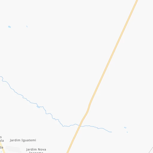
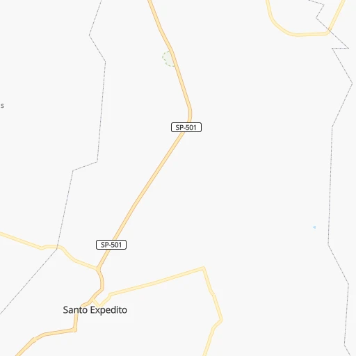
Roadmap (route) to go from Santo Anastácio to Penápolis detailed above, you can also see the course layout on the map.
While doing trip Santo Anastácio - Penápolis by car, the calculated route ends at a distance , or more straight.
Distance and duration of the route between Santo Anastácio and Penápolis
Calculation of distance and route from Penápolis to Santo Anastácio :
165.0222.2 km3h48mn
Continue onto Rua João Defendi 0h1mn 390 mTurn right onto Rua Angelo Zanfalin Neto 0h1mn 491 mTurn right onto Avenida Brasil 0h1mn 606 mKeep right 0h15mn 15.0 kmTurn right onto Avenida José Bonifácio 0h1mn 812 mTurn left onto Avenida Nove de Julho 0h2mn 1.6 kmAt roundabout, take exit 2 onto Avenida Bartolomeu Ortiz Oliveira 0h1mn 871 mTurn sharp left 0h0mn 18 mKeep right 0h25mn 36.4 kmKeep right onto SP-425 and drive toward Osvaldo Cruz, Araçatuba, São José do Rio Preto 0h1mn 389 mContinue onto Rodovia Assis Chateaubriand 2h53mn 159.3 kmKeep right 0h1mn 259 mTurn right onto Estrada da Jacutinga 0h6mn 4.3 kmTurn right onto Rodovia Sargento Arnaldo Covolan 0h0mn 71 mKeep left 0h0mn 47 mKeep right onto Avenida Maria Chica 0h1mn 886 mTurn right onto Rua Amazonas 0h1mn 417 mTurn left onto Avenida Luiz Osório 0h0mn 313 mTurn left onto Rua Doutor Mário Sabino 0h0mn 28 mArrive at destination 0h0mn 0 m
Travel from Santo Anastácio (São Paulo) to a selection of major cities.
Distances from Santo Anastácio to biggest cities in São Paulo
- Guaruja,310,424 inhabitants.599 km
- Franca,305,041 inhabitants.460 km
- Limeira,289,665 inhabitants.441 km
- Suzano,283,314 inhabitants.576 km
- Barueri,251,994 inhabitants.521 km
- Taubate,251,641 inhabitants.637 km
- Praia Grande,250,027 inhabitants.586 km
- Sumare,227,977 inhabitants.460 km
- Embu,221,733 inhabitants.528 km
- Taboao da Serra,214,523 inhabitants.533 km
- Jacarei,213,110 inhabitants.603 km
- Marilia,212,218 inhabitants.177 km
- Presidente Prudente,209,502 inhabitants.39 km
- Sao Carlos,205,035 inhabitants.385 km
- Hortolandia,203,533 inhabitants.466 km
- Itapevi,201,748 inhabitants.517 km
- Americana,196,022 inhabitants.452 km
- Santa Barbara d'Oeste,188,000 inhabitants.444 km
- Rio Claro,180,147 inhabitants.422 km
- Indaiatuba,179,911 inhabitants.473 km
Other major cities in country :
- Jaboatao dos Guararapes [30], 630,008 inhabitants. 2,345 km
- Contagem [15], 627,123 inhabitants. 814 km
- Uberlandia [15], 563,536 inhabitants. 476 km
- Cuiaba [14], 521,934 inhabitants. 840 km
- Aparecida de Goiania [29], 510,770 inhabitants. 611 km
- Aracaju [28], 490,175 inhabitants. 1,970 km
- Feira de Santana [05], 481,911 inhabitants. 1,715 km
- Londrina [18], 471,832 inhabitants. 170 km
- Juiz de Fora [15], 470,193 inhabitants. 854 km
- Belford Roxo [21], 466,096 inhabitants. 852 km
- Joinville [26], 461,304 inhabitants. 571 km
- Niteroi [21], 456,456 inhabitants. 883 km
- Sao Joao de Meriti [21], 454,849 inhabitants. 855 km
- Ananindeua [16], 433,956 inhabitants. 2,306 km
- Florianopolis [26], 412,724 inhabitants. 712 km
- Ribeirao das Neves [15], 406,802 inhabitants. 816 km
- Vila Velha [08], 394,930 inhabitants. 1,187 km
- Serra [08], 394,153 inhabitants. 1,190 km
- Campos dos Goytacazes [21], 387,417 inhabitants. 1,062 km
- Betim [15], 384,000 inhabitants. 798 km
Route from Penápolis to major cities (Brazil).
- Distance Penápolis Rio de Janeiro730 km
- Distance Penápolis Salvador1,547 km
- Distance Penápolis Fortaleza2,332 km
- Distance Penápolis Belo Horizonte661 km
- Distance Penápolis Brasilia667 km
- Distance Penápolis Curitiba454 km
- Distance Penápolis Manaus2,306 km
- Distance Penápolis Recife2,208 km
- Distance Penápolis Belem2,229 km
- Distance Penápolis Porto Alegre966 km
- Distance Penápolis Goiania535 km
- Distance Penápolis Nova Iguacu700 km
- Distance Penápolis Maceio2,017 km
- Distance Penápolis Sao Luis2,194 km
- Distance Penápolis Duque de Caxias714 km
- Distance Penápolis Natal2,365 km
- Distance Penápolis Teresina1,980 km
- Distance Penápolis Campo Grande487 km
- Distance Penápolis Jaboatao2,189 km
- Distance Penápolis Joao Pessoa2,283 km
Nearest cities to Santo Anastácio :
- Londrina, 471,832 inhabitants. 170 km
- Sao Jose do Rio Preto, 374,699 inhabitants. 258 km
- Bauru, 335,024 inhabitants. 268 km
- Maringa, 311,724 inhabitants. 180 km
- Marilia, 212,218 inhabitants. 177 km
- Presidente Prudente, 209,502 inhabitants. 39 km
- Aracatuba, 170,024 inhabitants. 141 km
- Toledo, 119,313 inhabitants. 387 km
- Catanduva, 109,612 inhabitants. 284 km
- Umuarama, 107,319 inhabitants. 278 km
- Apucarana, 107,085 inhabitants. 191 km
- Birigui, 102,277 inhabitants. 145 km
- Assis, 101,597 inhabitants. 154 km
- Ourinhos, 97,799 inhabitants. 219 km
- Arapongas, 97,512 inhabitants. 177 km
- Cambe, 91,080 inhabitants. 164 km
- Ituiutaba, 85,345 inhabitants. 390 km
- Sarandi, 84,697 inhabitants. 181 km
- Avare, 81,285 inhabitants. 310 km
- Tres Lagoas, 78,712 inhabitants. 117 km
- Campo Mourao, 75,401 inhabitants. 258 km
- Paranavai, 72,848 inhabitants. 163 km
- Votuporanga, 69,863 inhabitants. 232 km
- Lins, 69,451 inhabitants. 194 km
- Itapeva, 62,957 inhabitants. 368 km
- Tupa, 62,035 inhabitants. 114 km
- Fernandopolis, 61,931 inhabitants. 224 km
- Telemaco Borba, 58,880 inhabitants. 295 km
- Lencois Paulista, 57,375 inhabitants. 302 km
- Cianorte, 55,994 inhabitants. 227 km
- Penapolis, 54,477 inhabitants. 165 km
- Andradina, 52,406 inhabitants. 108 km
- Rolandia, 51,004 inhabitants. 166 km
- Ibitinga, 49,074 inhabitants. 288 km
- Cornelio Procopio, 48,487 inhabitants. 179 km
- Olimpia, 45,199 inhabitants. 305 km
- Itarare, 44,809 inhabitants. 344 km
- Ibipora, 44,790 inhabitants. 169 km
- Jales, 43,831 inhabitants. 207 km
- Marechal Candido Rondon, 43,028 inhabitants. 393 km
- Castro, 42,091 inhabitants. 367 km
- Garca, 41,302 inhabitants. 206 km
- Frutal, 40,931 inhabitants. 343 km
- Paraguacu Paulista, 39,120 inhabitants. 124 km
- Presidente Epitacio, 38,742 inhabitants. 53 km
- Mandaguari, 38,238 inhabitants. 190 km
- Pederneiras, 38,020 inhabitants. 298 km
- Santa Cruz do Rio Pardo, 37,336 inhabitants. 235 km
- Navirai, 36,452 inhabitants. 299 km
- Santo Antonio da Platina, 35,260 inhabitants. 226 km
Location Santo Anastácio (São Paulo) :
| Country flag |  |
| Location | Santo Anastácio |
| State | São Paulo |
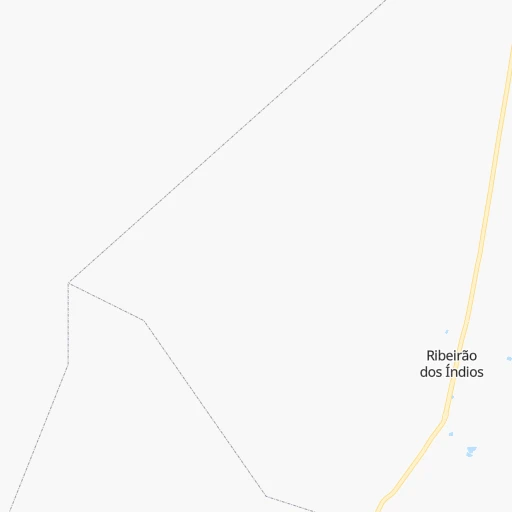
| County | Ribeirão dos Índios |
| Country | Brazil |
| Country code / ISO 2 | BR |
| Latitude | -21.8383300 |
| Longitude | -51.6102800 |
| Altitude | 0 meters |
| Time zone | America/Sao_Paulo |
Location Penápolis (São Paulo) :
| Country flag | |
| Location | Penápolis |
| State | São Paulo |
| County | Penápolis |
| Country | Brazil |
| Country code / ISO 2 | BR |
| Latitude | -21.4197200 |
| Longitude | -50.0775000 |
| Altitude | 0 meters |
| Time zone | America/Sao_Paulo |