

How to get from Estación Bizcocho (Soriano) to Libertad (San José)
Calculate route from Estación Bizcocho (Soriano, Uruguay) to Libertad (San José, Uruguay).
The flight distance (as the crow flies) between Estación Bizcocho and Libertad is 182.7 km.
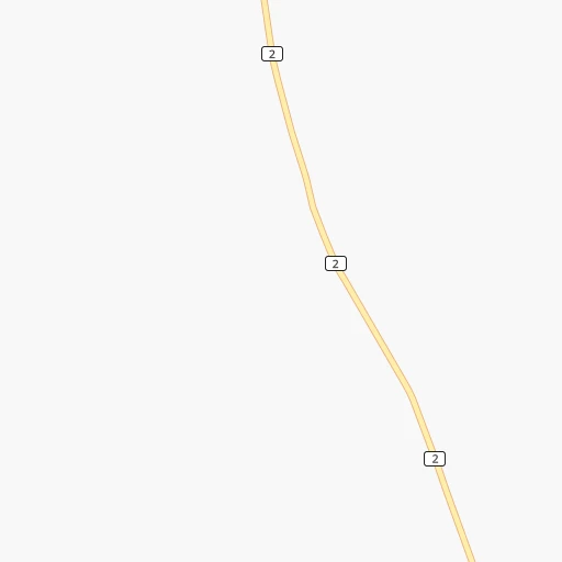
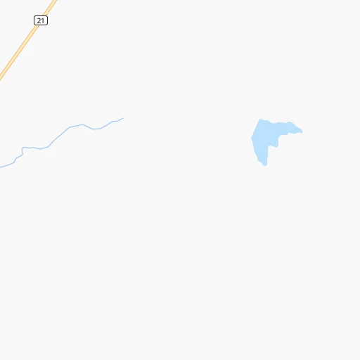
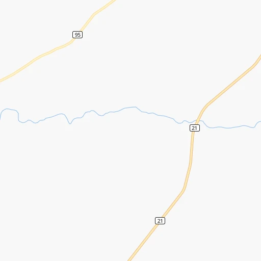
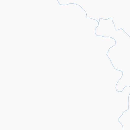
Roadmap (route) to go from Estación Bizcocho to Libertad detailed above, you can also see the course layout on the map.
While doing trip Estación Bizcocho - Libertad by car, the calculated route ends at a distance , or more straight.
Distance and duration of the route between Estación Bizcocho and Libertad
Calculation of distance and route from Libertad to Estación Bizcocho :
182.7205.4 km3h8mn
Continue 0h2mn 484 mTurn right 0h2mn 1.2 kmTurn sharp right onto Ruta 2 Grito de Asencio 1h9mn 77.3 kmAt roundabout, take exit 2 onto Ruta 2 Grito de Asencio 0h1mn 712 mKeep right onto Grito de Asencio 0h2mn 2.0 kmKeep right onto Ruta 2 Grito de Asencio 1h34mn 37.0 kmTurn left onto Picada Benítez 0h16mn 13.4 kmTurn right onto José Batlle y Ordóñez 0h4mn 2.7 kmAt roundabout, take exit 2 onto José Batlle y Ordóñez 0h3mn 2.9 kmTurn left onto Ruta 1 Brigadier General Manuel Oribe 1h52mn 65.4 kmTurn left 0h0mn 48 mKeep right and drive toward Libertad 0h0mn 249 mTurn slight right onto Camino Departamental 0h2mn 1.6 kmTurn left onto Agraciada 0h1mn 430 mTurn left onto Doctor Ernesto G. Ciganda 0h0mn 76 mArrive at destination 0h0mn 0 m
Travel from Estación Bizcocho (San José) to a selection of major cities.
Distances from Estación Bizcocho to biggest cities in Soriano
Other major cities in country :
Route from Libertad to major cities (Uruguay).
Nearest cities to Estación Bizcocho :
- Montevideo, 1,270,737 inhabitants. 232 km
- Salto, 99,823 inhabitants. 226 km
- Paysandu, 73,249 inhabitants. 122 km
- Las Piedras, 69,682 inhabitants. 216 km
- Rivera, 64,631 inhabitants. 360 km
- Maldonado, 55,478 inhabitants. 322 km
- Tacuarembo, 51,854 inhabitants. 264 km
- Mercedes, 42,359 inhabitants. 20 km
- Minas, 38,025 inhabitants. 272 km
- San Jose de Mayo, 36,529 inhabitants. 154 km
- Durazno, 33,926 inhabitants. 133 km
- Florida, 32,234 inhabitants. 178 km
- Barros Blancos, 31,650 inhabitants. 233 km
- Pando, 24,047 inhabitants. 234 km
- Fray Bentos, 23,279 inhabitants. 47 km
- Colonia del Sacramento, 21,714 inhabitants. 117 km
- Trinidad, 21,429 inhabitants. 98 km
- La Paz, 19,913 inhabitants. 218 km
- Canelones, 19,698 inhabitants. 197 km
- Delta del Tigre, 17,973 inhabitants. 209 km
- Carmelo, 16,921 inhabitants. 72 km
- Santa Lucia, 16,438 inhabitants. 185 km
- Progreso, 15,973 inhabitants. 212 km
- Young, 15,924 inhabitants. 85 km
- Dolores, 15,880 inhabitants. 28 km
- Paso de Carrasco, 15,393 inhabitants. 237 km
- Juan L. Lacaze, 13,223 inhabitants. 121 km
- Paso de los Toros, 13,221 inhabitants. 149 km
- Nueva Helvecia, 10,054 inhabitants. 119 km
- Nueva Palmira, 9,335 inhabitants. 66 km
- Libertad, 9,311 inhabitants. 183 km
- Rosario, 9,308 inhabitants. 115 km
- Colonia Nicolich, 8,902 inhabitants. 236 km
- Piriapolis, 7,968 inhabitants. 294 km
- Tranqueras, 7,474 inhabitants. 322 km
- Sarandi del Yi, 7,367 inhabitants. 215 km
- Pan de Azucar, 7,180 inhabitants. 293 km
- San Ramon, 7,008 inhabitants. 209 km
- Sarandi Grande, 6,441 inhabitants. 154 km
- Joaquin Suarez, 6,257 inhabitants. 230 km
- Tarariras, 6,069 inhabitants. 99 km
- Sauce, 5,910 inhabitants. 222 km
- Guichon, 5,051 inhabitants. 137 km
- Tala, 4,949 inhabitants. 227 km
- Barra de Carrasco, 4,824 inhabitants. 240 km
- Cardona, 4,712 inhabitants. 74 km
- Atlantida, 4,669 inhabitants. 252 km
- Toledo, 4,056 inhabitants. 226 km
- Empalme Olmos, 4,007 inhabitants. 237 km
- San Jacinto, 3,954 inhabitants. 229 km
Location Estación Bizcocho (Soriano) :
| Country flag |  |
| Location | Estación Bizcocho |
| State | Soriano |
| County | |
| Country | Uruguay |
| Country code / ISO 2 | UY |
| Latitude | -33.4166700 |
| Longitude | -57.9500000 |
| Altitude | 0 meters |
| Time zone | America/Montevideo |
Location Libertad (San José) :
| Country flag | |
| Location | Libertad |
| State | San José |
| County | Libertad |
| Country | Uruguay |
| Country code / ISO 2 | UY |
| Latitude | -34.6345900 |
| Longitude | -56.6173900 |
| Altitude | 0 meters |
| Time zone | America/Montevideo |