
How to get from Estación Chamberlain (Tacuarembó) to Sarandí Grande (Florida)
Calculate route from Estación Chamberlain (Tacuarembó, Uruguay) to Sarandí Grande (Florida, Uruguay).
The flight distance (as the crow flies) between Estación Chamberlain and Sarandí Grande is 119.3 km.
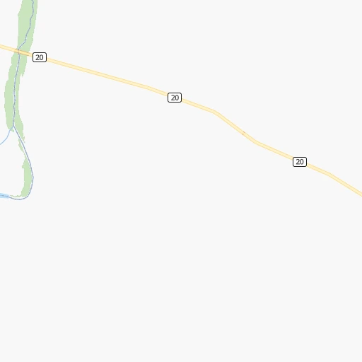
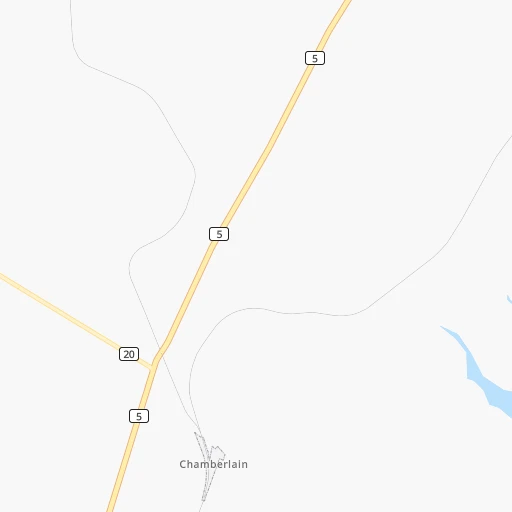
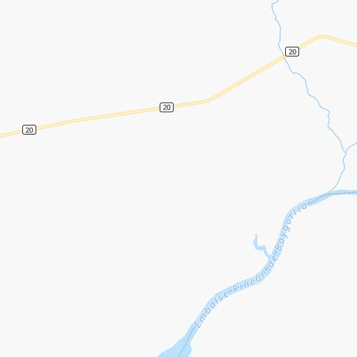
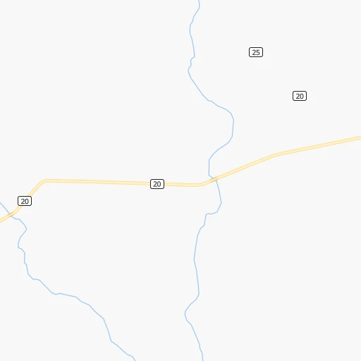
Roadmap (route) to go from Estación Chamberlain to Sarandí Grande detailed above, you can also see the course layout on the map.
While doing trip Estación Chamberlain - Sarandí Grande by car, the calculated route ends at a distance , or more straight.
Distance and duration of the route between Estación Chamberlain and Sarandí Grande
Calculation of distance and route from Sarandí Grande to Estación Chamberlain :
119.3127.9 km2h52mn
Continue onto Ruta 5 Brigadier General Fructuoso Rivera 0h14mn 15.9 kmAt roundabout, take exit 2 onto Ruta 5 Brigadier General Fructuoso Rivera 0h1mn 1.4 kmAt roundabout, take exit 1 0h6mn 5.5 kmAt roundabout, take exit 2 0h0mn 520 mContinue onto Ruta 5 Brigadier General Fructuoso Rivera 1h43mn 55.2 kmAt roundabout, take exit 1 onto Ruta 5 Brigadier General Fructuoso Rivera 0h1mn 1.0 kmAt roundabout, take exit 2 onto Ruta 5 Brigadier General Fructuoso Rivera 0h6mn 4.9 kmAt roundabout, take exit 3 onto Ruta 5 Brigadier General Fructuoso Rivera 1h34mn 39.5 kmTurn right onto Avenida Artigas 0h4mn 2.3 kmTurn right onto Juan Antonio Lavalleja 0h1mn 637 mTurn left onto José Pedro Varela 0h1mn 480 mTurn right 0h0mn 30 mKeep right 0h1mn 514 mArrive at destination 0h0mn 0 m
Travel from Estación Chamberlain (Florida) to a selection of major cities.
Distances from Estación Chamberlain to biggest cities in Tacuarembó
Other major cities in country :
Route from Sarandí Grande to major cities (Uruguay).
- Distance Sarandí Grande Montevideo131 km
- Distance Sarandí Grande Salto303 km
- Distance Sarandí Grande Paysandu226 km
- Distance Sarandí Grande Las Piedras111 km
- Distance Sarandí Grande Rivera323 km
- Distance Sarandí Grande Maldonado182 km
- Distance Sarandí Grande Tacuarembo227 km
- Distance Sarandí Grande Melo253 km
Nearest cities to Estación Chamberlain :
- Montevideo, 1,270,737 inhabitants. 250 km
- Salto, 99,823 inhabitants. 200 km
- Paysandu, 73,249 inhabitants. 154 km
- Las Piedras, 69,682 inhabitants. 231 km
- Rivera, 64,631 inhabitants. 215 km
- Maldonado, 55,478 inhabitants. 286 km
- Tacuarembo, 51,854 inhabitants. 116 km
- Melo, 51,023 inhabitants. 220 km
- Mercedes, 42,359 inhabitants. 159 km
- Artigas, 41,909 inhabitants. 252 km
- Minas, 38,025 inhabitants. 223 km
- San Jose de Mayo, 36,529 inhabitants. 187 km
- Durazno, 33,926 inhabitants. 80 km
- Florida, 32,234 inhabitants. 161 km
- Barros Blancos, 31,650 inhabitants. 236 km
- Treinta y Tres, 25,653 inhabitants. 206 km
- Rocha, 25,515 inhabitants. 284 km
- San Carlos, 24,938 inhabitants. 277 km
- Pando, 24,047 inhabitants. 233 km
- Fray Bentos, 23,279 inhabitants. 178 km
- Colonia del Sacramento, 21,714 inhabitants. 236 km
- Trinidad, 21,429 inhabitants. 102 km
- La Paz, 19,913 inhabitants. 234 km
- Canelones, 19,698 inhabitants. 207 km
- Delta del Tigre, 17,973 inhabitants. 234 km
- Carmelo, 16,921 inhabitants. 224 km
- Santa Lucia, 16,438 inhabitants. 199 km
- Progreso, 15,973 inhabitants. 224 km
- Young, 15,924 inhabitants. 107 km
- Dolores, 15,880 inhabitants. 188 km
- Paso de Carrasco, 15,393 inhabitants. 247 km
- Juan L. Lacaze, 13,223 inhabitants. 215 km
- Paso de los Toros, 13,221 inhabitants. 17 km
- Bella Union, 13,171 inhabitants. 288 km
- Nueva Helvecia, 10,054 inhabitants. 195 km
- Nueva Palmira, 9,335 inhabitants. 224 km
- Libertad, 9,311 inhabitants. 219 km
- Rosario, 9,308 inhabitants. 201 km
- Colonia Nicolich, 8,902 inhabitants. 243 km
- Piriapolis, 7,968 inhabitants. 269 km
- Castillos, 7,686 inhabitants. 297 km
- Tranqueras, 7,474 inhabitants. 177 km
- Sarandi del Yi, 7,367 inhabitants. 110 km
- Punta del Este, 7,234 inhabitants. 292 km
- Pan de Azucar, 7,180 inhabitants. 262 km
- San Ramon, 7,008 inhabitants. 187 km
- Lascano, 6,976 inhabitants. 240 km
- Sarandi Grande, 6,441 inhabitants. 120 km
- Joaquin Suarez, 6,257 inhabitants. 234 km
- Tarariras, 6,069 inhabitants. 207 km
Location Estación Chamberlain (Tacuarembó) :
| Country flag |  |
| Location | Estación Chamberlain |
| State | Tacuarembó |
| County | Paso De Los Toros |
| Country | Uruguay |
| Country code / ISO 2 | UY |
| Latitude | -32.6666700 |
| Longitude | -56.4833300 |
| Altitude | 0 meters |
| Time zone | America/Montevideo |
Location Sarandí Grande (Florida) :
| Country flag | |
| Location | Sarandí Grande |
| State | Florida |
| County | Sarandí Grande |
| Country | Uruguay |
| Country code / ISO 2 | UY |
| Latitude | -33.7333300 |
| Longitude | -56.3333300 |
| Altitude | 0 meters |
| Time zone | America/Montevideo |