
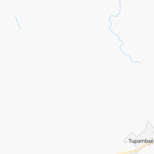
How to get from Estación Tupambaé (Cerro Largo) to Tacuarembó (Tacuarembó)
Calculate route from Estación Tupambaé (Cerro Largo, Uruguay) to Tacuarembó (Tacuarembó, Uruguay).
The flight distance (as the crow flies) between Estación Tupambaé and Tacuarembó is 168.5 km.
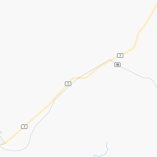
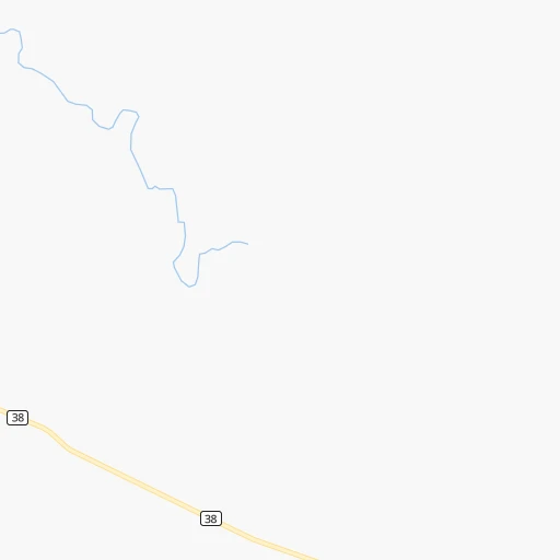
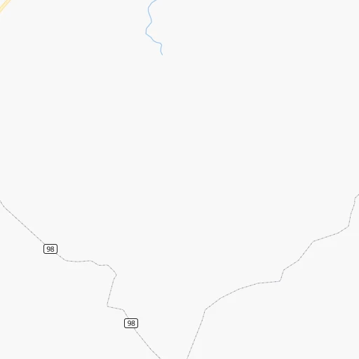
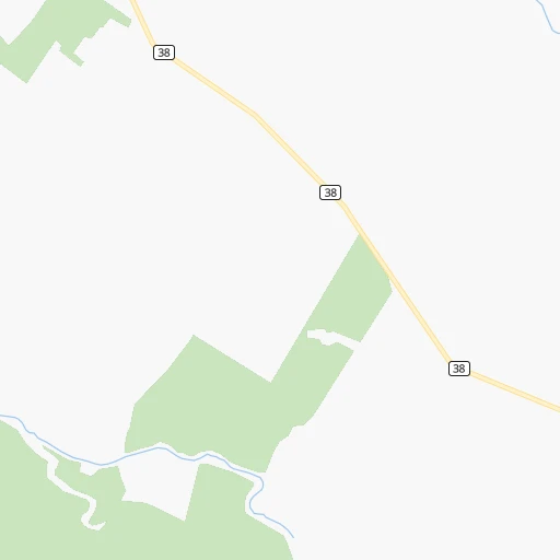
Roadmap (route) to go from Estación Tupambaé to Tacuarembó detailed above, you can also see the course layout on the map.
While doing trip Estación Tupambaé - Tacuarembó by car, the calculated route ends at a distance , or more straight.
Distance and duration of the route between Estación Tupambaé and Tacuarembó
Calculation of distance and route from Tacuarembó to Estación Tupambaé :
168.5227.0 km4h39mn
Continue onto Uruguay 0h1mn 737 mTurn left onto Tupambaé 1h48mn 47.9 kmAt roundabout, take exit 2 onto Ruta 7 General Aparicio Saravia 0h0mn 113 mTurn slight right onto Ruta 44 1h43mn 22.7 kmContinue onto Ruta 44 0h0mn 194 mTurn slight left onto Ruta 26 Brigadier General Leandro Gómez 1h23mn 99.2 kmAt roundabout, take exit 2 onto Avenida Coronel Leandro Gómez 1h39mn 50.9 kmAt roundabout, take exit 2 onto Ruta 5 Brigadier General Fructuoso Rivera 0h3mn 3.8 kmKeep right 0h0mn 46 mKeep right 0h0mn 319 mTurn slight right onto Avenida Doctor Victorino Pereyra 0h0mn 157 mAt roundabout, take exit 2 0h0mn 153 mTurn slight right onto Juan Ortiz 0h1mn 687 mTurn right onto Domingo Catalina 0h0mn 198 mTurn right onto Treinta y Tres 0h0mn 31 mArrive at destination 0h0mn 0 m
Travel from Estación Tupambaé (Tacuarembó) to a selection of major cities.
Distances from Estación Tupambaé to biggest cities in Cerro Largo
Other major cities in country :
Route from Tacuarembó to major cities (Uruguay).
Nearest cities to Estación Tupambaé :
- Montevideo, 1,270,737 inhabitants. 265 km
- Las Piedras, 69,682 inhabitants. 250 km
- Rivera, 64,631 inhabitants. 227 km
- Maldonado, 55,478 inhabitants. 231 km
- Tacuarembo, 51,854 inhabitants. 169 km
- Melo, 51,023 inhabitants. 76 km
- Artigas, 41,909 inhabitants. 315 km
- Minas, 38,025 inhabitants. 177 km
- San Jose de Mayo, 36,529 inhabitants. 246 km
- Durazno, 33,926 inhabitants. 175 km
- Florida, 32,234 inhabitants. 194 km
- Barros Blancos, 31,650 inhabitants. 242 km
- Treinta y Tres, 25,653 inhabitants. 57 km
- Rocha, 25,515 inhabitants. 188 km
- San Carlos, 24,938 inhabitants. 218 km
- Pando, 24,047 inhabitants. 237 km
- Trinidad, 21,429 inhabitants. 213 km
- La Paz, 19,913 inhabitants. 253 km
- Canelones, 19,698 inhabitants. 234 km
- Delta del Tigre, 17,973 inhabitants. 261 km
- Santa Lucia, 16,438 inhabitants. 235 km
- Progreso, 15,973 inhabitants. 244 km
- Young, 15,924 inhabitants. 268 km
- Paso de Carrasco, 15,393 inhabitants. 255 km
- Rio Branco, 13,567 inhabitants. 132 km
- Juan L. Lacaze, 13,223 inhabitants. 305 km
- Paso de los Toros, 13,221 inhabitants. 164 km
- Bella Union, 13,171 inhabitants. 393 km
- Chui, 10,485 inhabitants. 155 km
- Nueva Helvecia, 10,054 inhabitants. 281 km
- Libertad, 9,311 inhabitants. 264 km
- Rosario, 9,308 inhabitants. 291 km
- Colonia Nicolich, 8,902 inhabitants. 249 km
- Piriapolis, 7,968 inhabitants. 231 km
- Castillos, 7,686 inhabitants. 174 km
- Tranqueras, 7,474 inhabitants. 204 km
- Sarandi del Yi, 7,367 inhabitants. 99 km
- Punta del Este, 7,234 inhabitants. 236 km
- Pan de Azucar, 7,180 inhabitants. 221 km
- San Ramon, 7,008 inhabitants. 196 km
- Lascano, 6,976 inhabitants. 107 km
- Sarandi Grande, 6,441 inhabitants. 177 km
- Joaquin Suarez, 6,257 inhabitants. 242 km
- Tarariras, 6,069 inhabitants. 309 km
- Sauce, 5,910 inhabitants. 235 km
- Jose Pedro Varela, 5,388 inhabitants. 72 km
- Guichon, 5,051 inhabitants. 234 km
- Tala, 4,949 inhabitants. 192 km
- Barra de Carrasco, 4,824 inhabitants. 256 km
- Cardona, 4,712 inhabitants. 268 km
Location Estación Tupambaé (Cerro Largo) :
| Country flag |  |
| Location | Estación Tupambaé |
| State | Cerro Largo |
| County | Tupambae |
| Country | Uruguay |
| Country code / ISO 2 | UY |
| Latitude | -32.8333300 |
| Longitude | -54.7666700 |
| Altitude | 0 meters |
| Time zone | America/Montevideo |
Location Tacuarembó (Tacuarembó) :
| Country flag | |
| Location | Tacuarembó |
| State | Tacuarembó |
| County | |
| Country | Uruguay |
| Country code / ISO 2 | UY |
| Latitude | -31.7169400 |
| Longitude | -55.9811100 |
| Altitude | 0 meters |
| Time zone | America/Montevideo |
